A Bartele Gallery CollectionLangweer · Jakarta

American Maps & Prints
Original antique maps, charts & prints of the Americas ★ Originals only


Home › Canada & the North
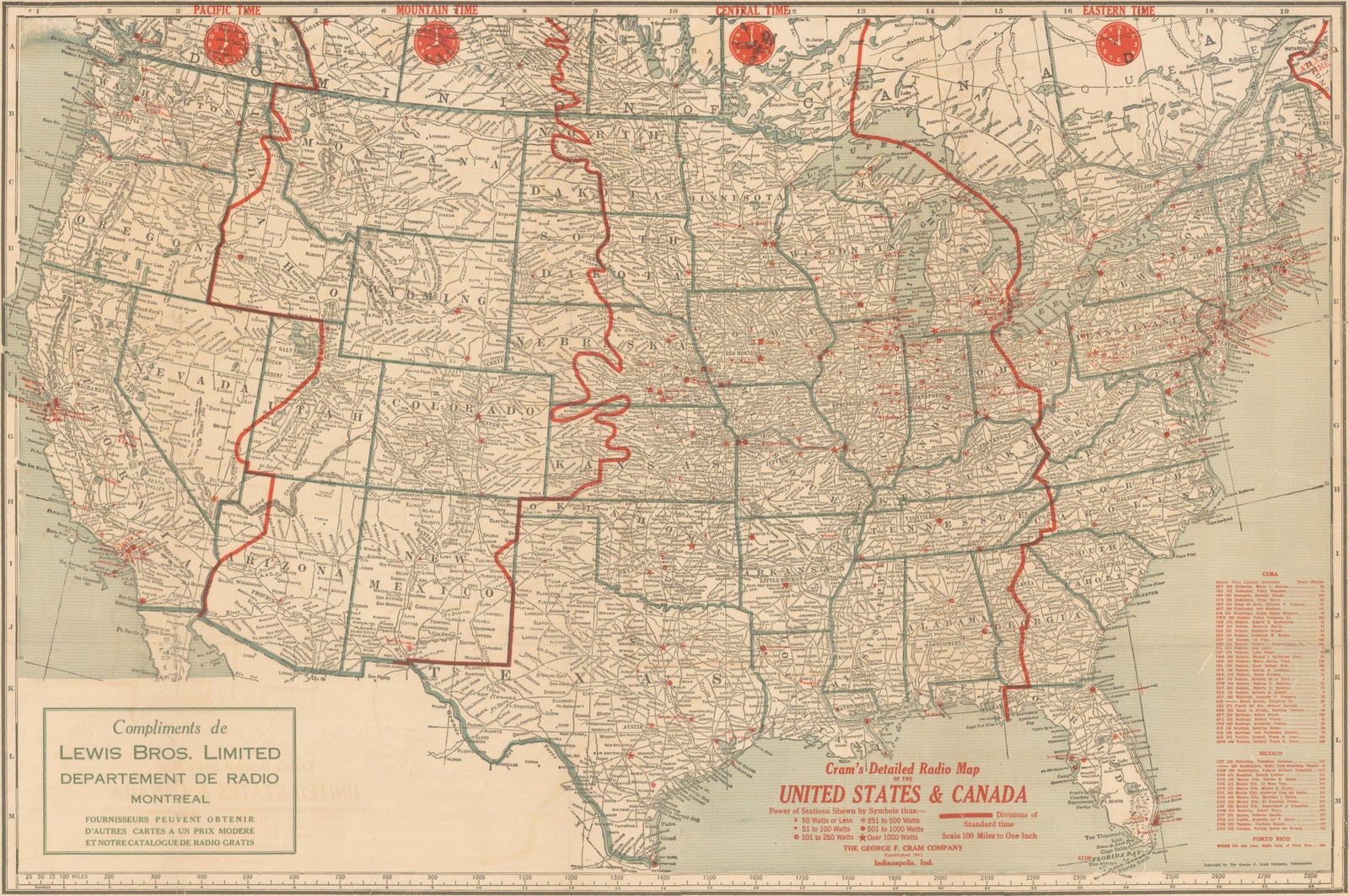
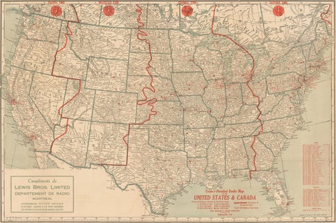
1930s AM Radio Map of US, Canada, Cuba, Mexico – Stations & Frequencies
Maps

1930s AM Radio Map of US, Canada, Cuba, Mexico – Stations & Frequencies

$1,110
€990 · dollar price at today's exchange rate

Buy now Ask a question

Shipping to the United States: $51 standard, $73 express, insured and tracked.

Kind
Maps
Size
69.6 × 85.1 cm (27.4 × 33.5 in)
Condition
Fair. Repaired: archival repairs to a few small edge tears and numerous short fold separations with some minor loss at the fold junctions. Fair condtion. Issued folding with archival repairs to a few small edge tears and numerous short fold separations with some minor loss at the fold junctions. There
Places
Canada, Cuba, Mexico
Reference
f_41834982
What the condition grades mean
Excellent
Bright and clean, with no faults worth mentioning.
Very good
Only light signs of age, such as faint toning.
Good
Normal signs of age for a sheet of this period: toning, some foxing, small marks or neat old repairs.
Fair
Clear faults such as staining, tears or repairs, priced to match.

Every fault we see is written in the condition note, and the whole sheet is shown uncropped in the photos.

Guaranteed original. This is an original of the period stated, not a later reproduction or print-on-demand copy. If it is ever shown to be otherwise, we refund you in full.
Shipping to the United States. Sent from our gallery in Langweer, the Netherlands, flat between boards or rolled in a tube, and fully insured. Delivery and import charges.
About this piece

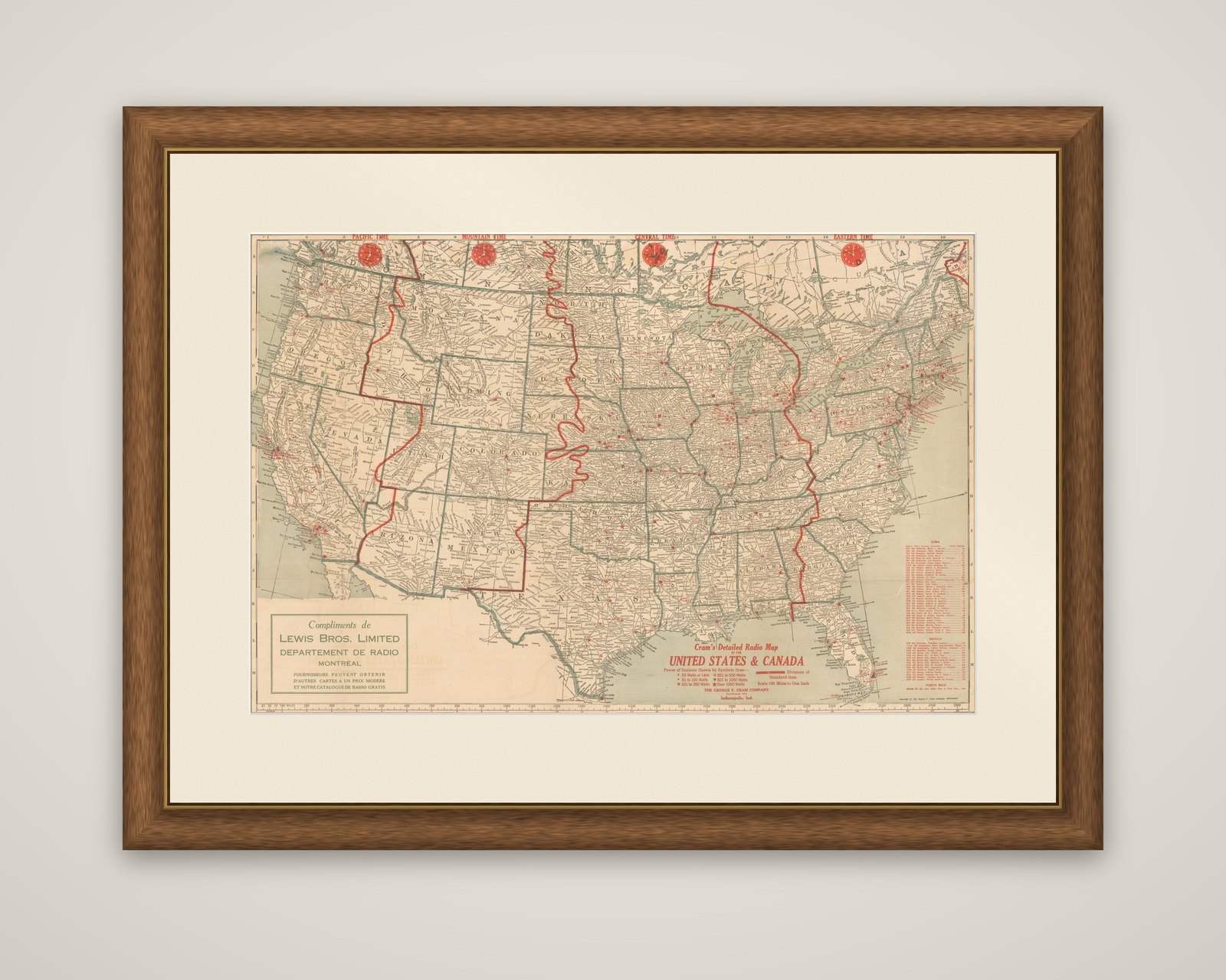
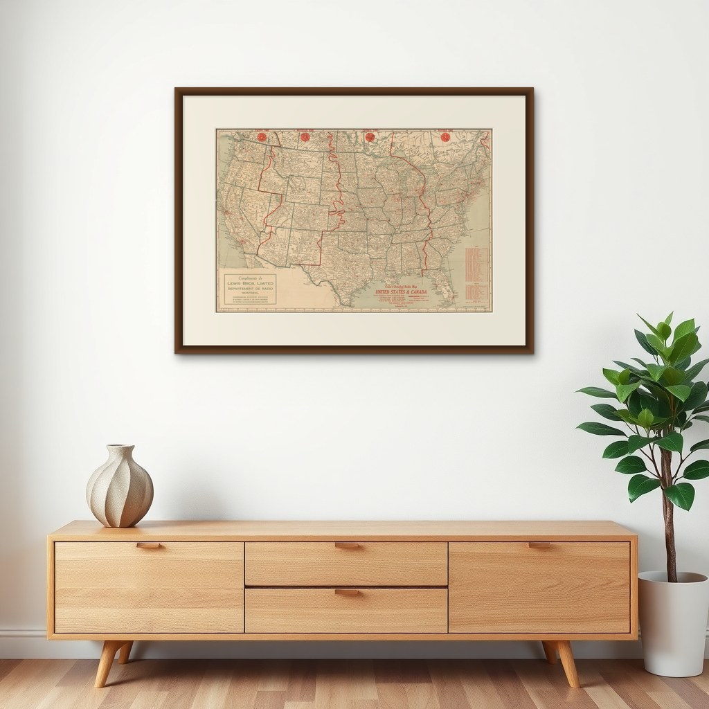
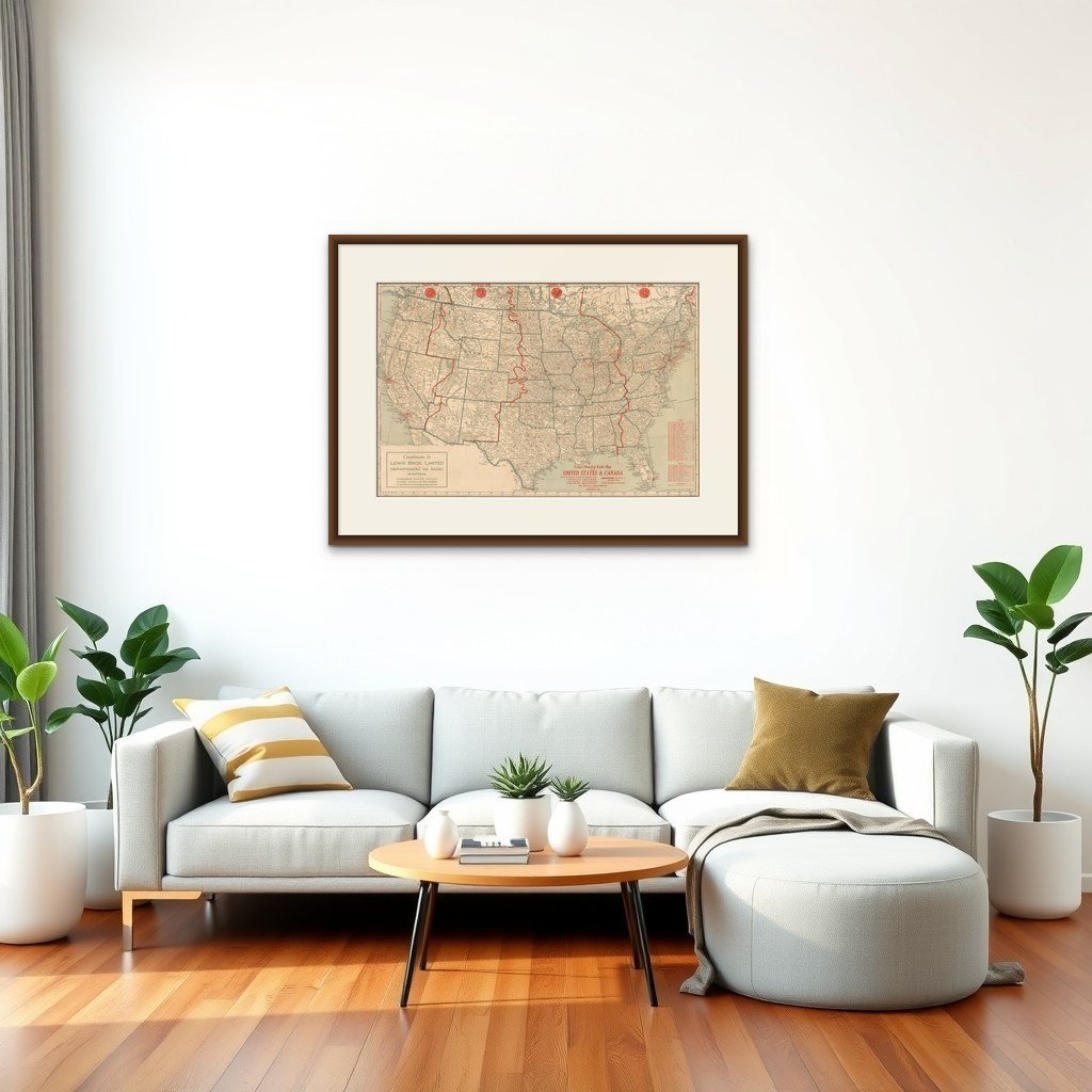
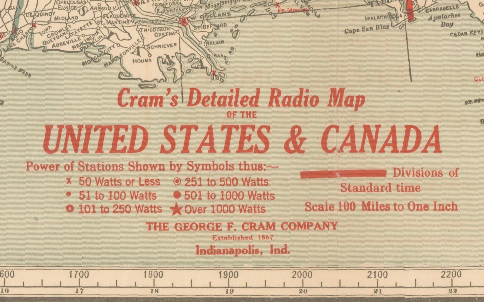
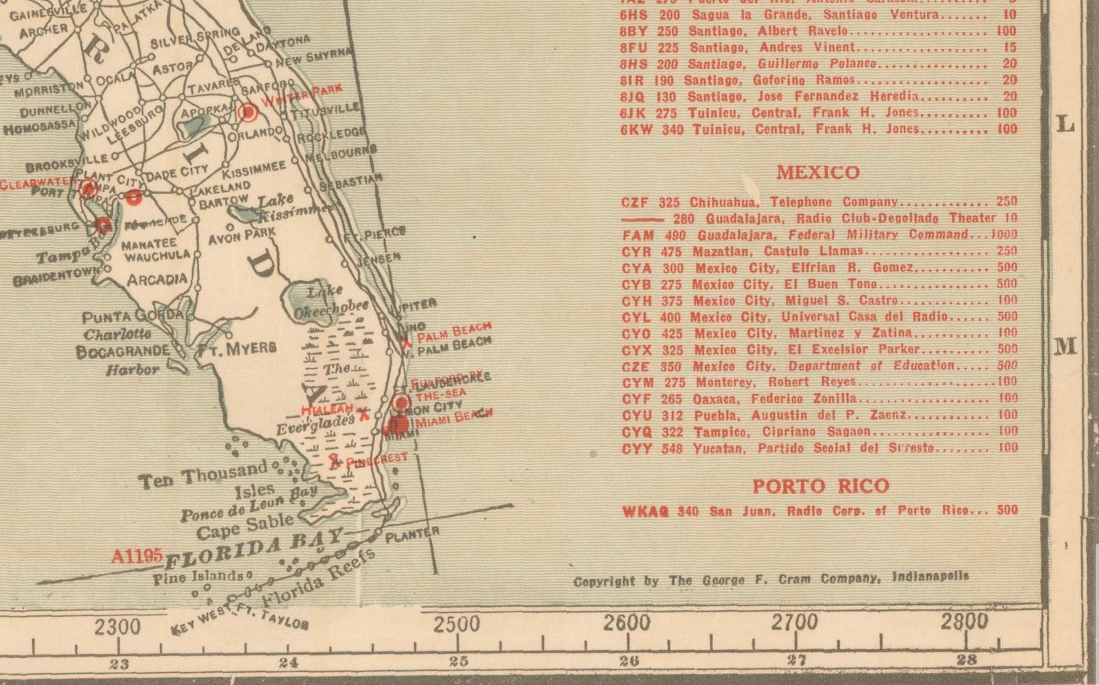
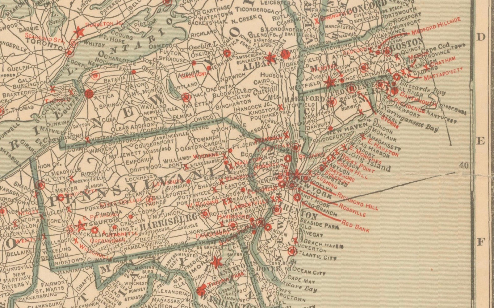
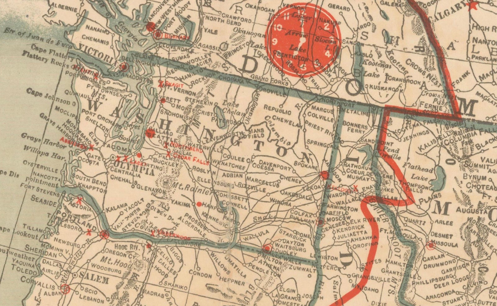
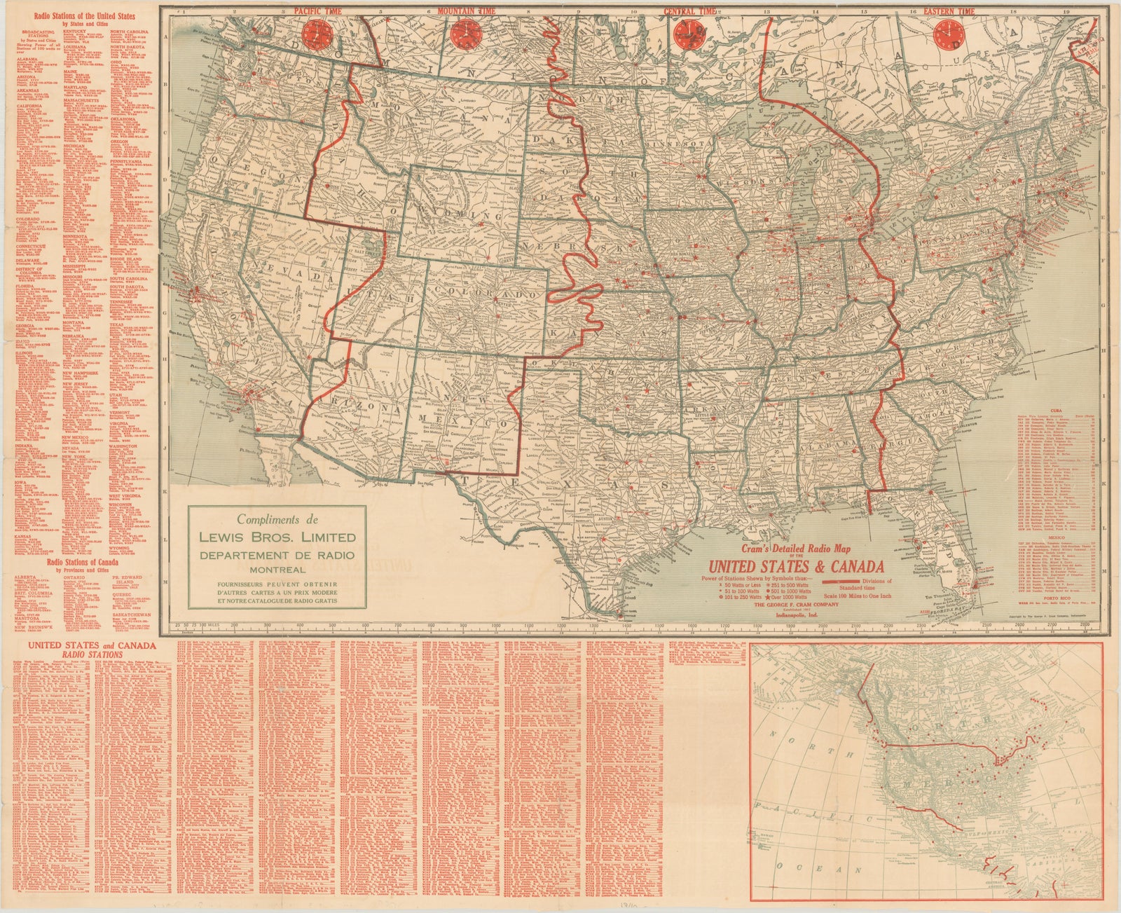
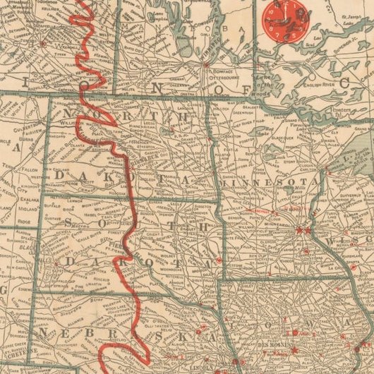
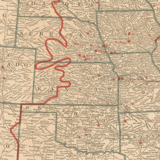
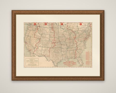
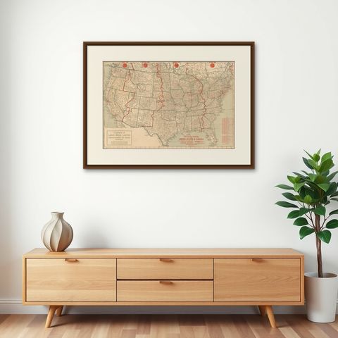
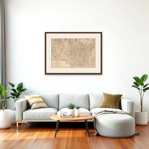
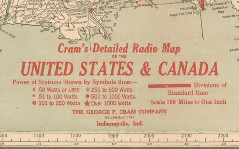
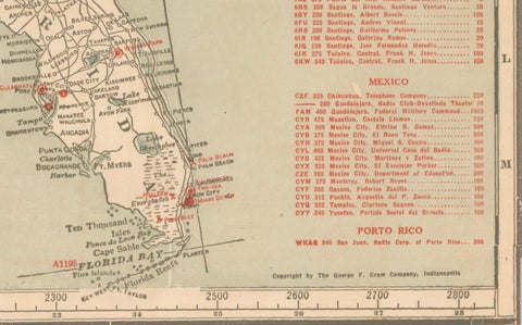
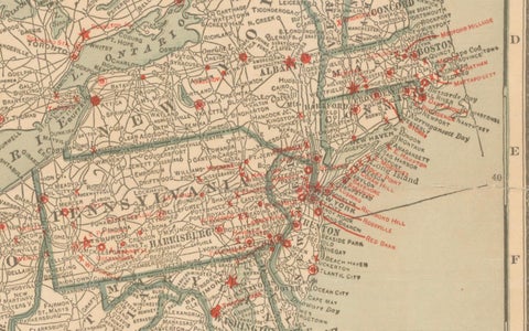
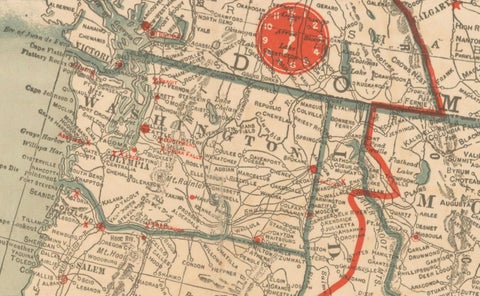
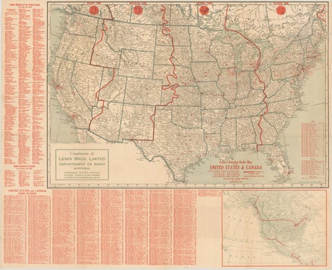
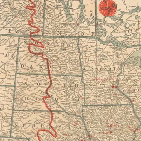
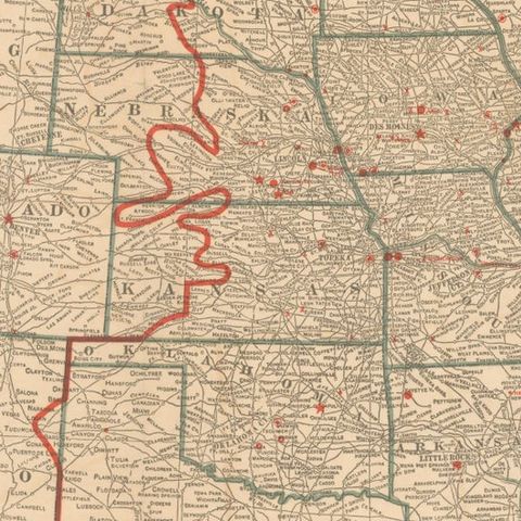
Radio stations of the United States and southern Canada on a large printed map titled "Cram's Detailed Radio Map of the United States & Canada", issued by The George F. Cram Company of Indianapolis, with a corner panel reading "Compliments de Lewis Bros. Limited, Département de Radio, Montréal". The date is given as the 1930s. The sheet is a color-printed map with red overprint.

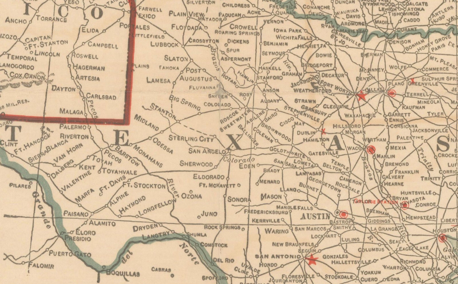
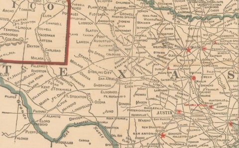
The map shows the states and provinces with their borders, rivers and principal cities in pale tones, and the red overprint marks the broadcasting stations as small dots and the boundaries of the time zones as heavy lines, with a clock face at the head of each zone labeled Pacific, Mountain, Central and Eastern Time. A key in the lower margin groups the stations by power. Station listings with call letters, frequencies and locations run in tight columns down the right margin, and the lower left carries the Montreal firm's panel, which in French offers other maps at modest cost and a free radio catalog.

As a document of early broadcasting, the sheet records where commercial radio stood in the days of the AM dial, when stations were found by their call letters and location.

★

You might also like


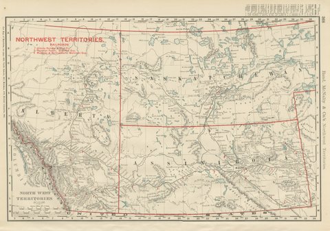
Antique Map of the North West Territories, Before Alberta and Saskatchewan, 1899
1899 · Rand McNally
$330
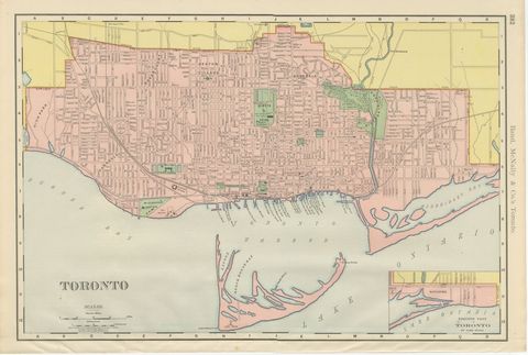
Antique Map of Toronto, with Queen's Park, Rand McNally, 1899
1899 · Rand McNally
$330
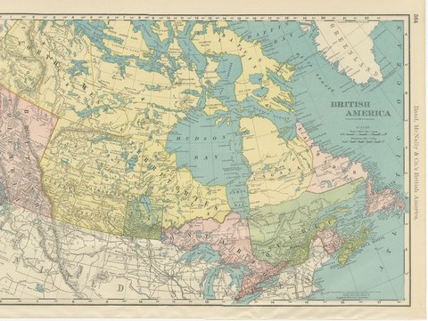
Antique Map of British America, with Hudson Bay, Rand McNally, 1899
1899 · Rand McNally
$440
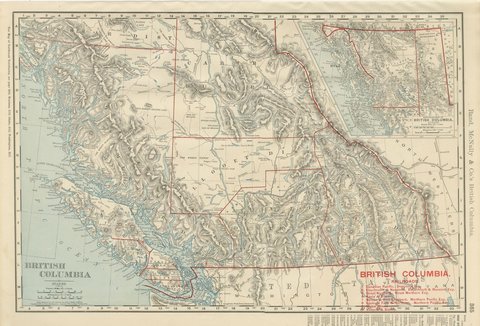
Antique Map of British Columbia, with Queen Charlotte Islands, 1899
1899 · Rand McNally
$385
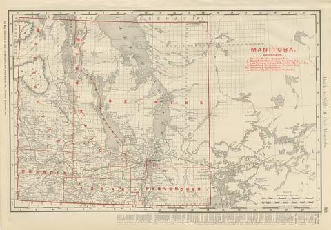
Antique Map of Manitoba, with Lake Winnipeg, Rand McNally, 1899
1899 · Rand McNally
$330
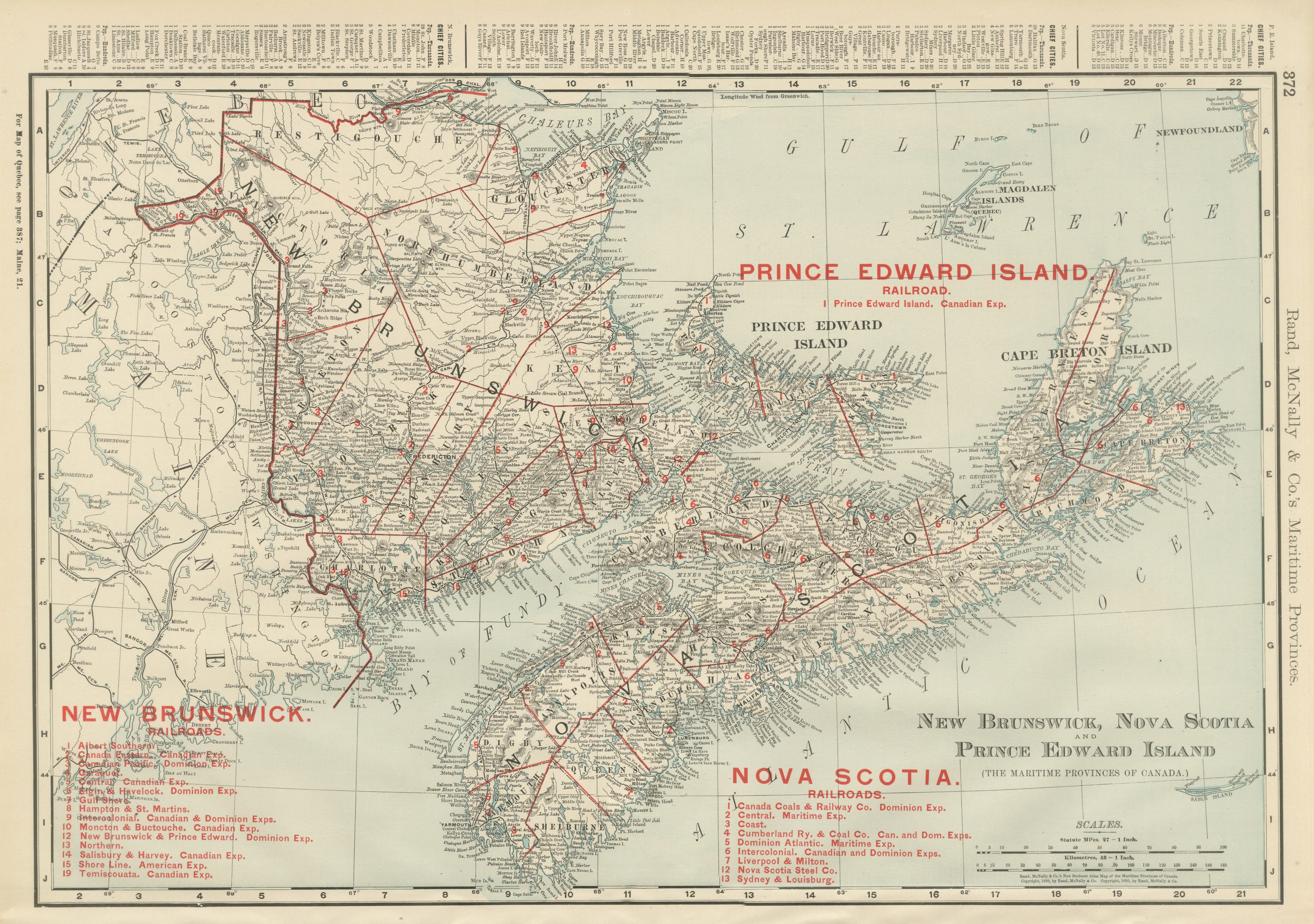
Antique Maritimes Map, New Brunswick, Nova Scotia and Prince Edward Island, 1899
1899 · Rand McNally
$330
Antique Map of Ontario, with Toronto and Ottawa Insets, Rand McNally, 1899
1899 · Rand McNally
$385
Antique Map of Quebec, with Gaspé Inset, Rand McNally, 1899
1899 · Rand McNally
$385

Ask about this print

We reply by email, usually within one working day.

Your favorites

Saved in this browser. Email the list to yourself to keep it on any device.

We use your email to send this list and, only if you tick the box and confirm, for occasional new arrivals. Every email has an unsubscribe link. Bartele Gallery, the Netherlands.

Your bag

Total

Each piece is bought on its own; shipping is added at checkout.