

A Bartele Gallery CollectionLangweer · Jakarta

American Maps & Prints
Original antique maps, charts & prints of the Americas ★ Originals only


Home › The United States › California
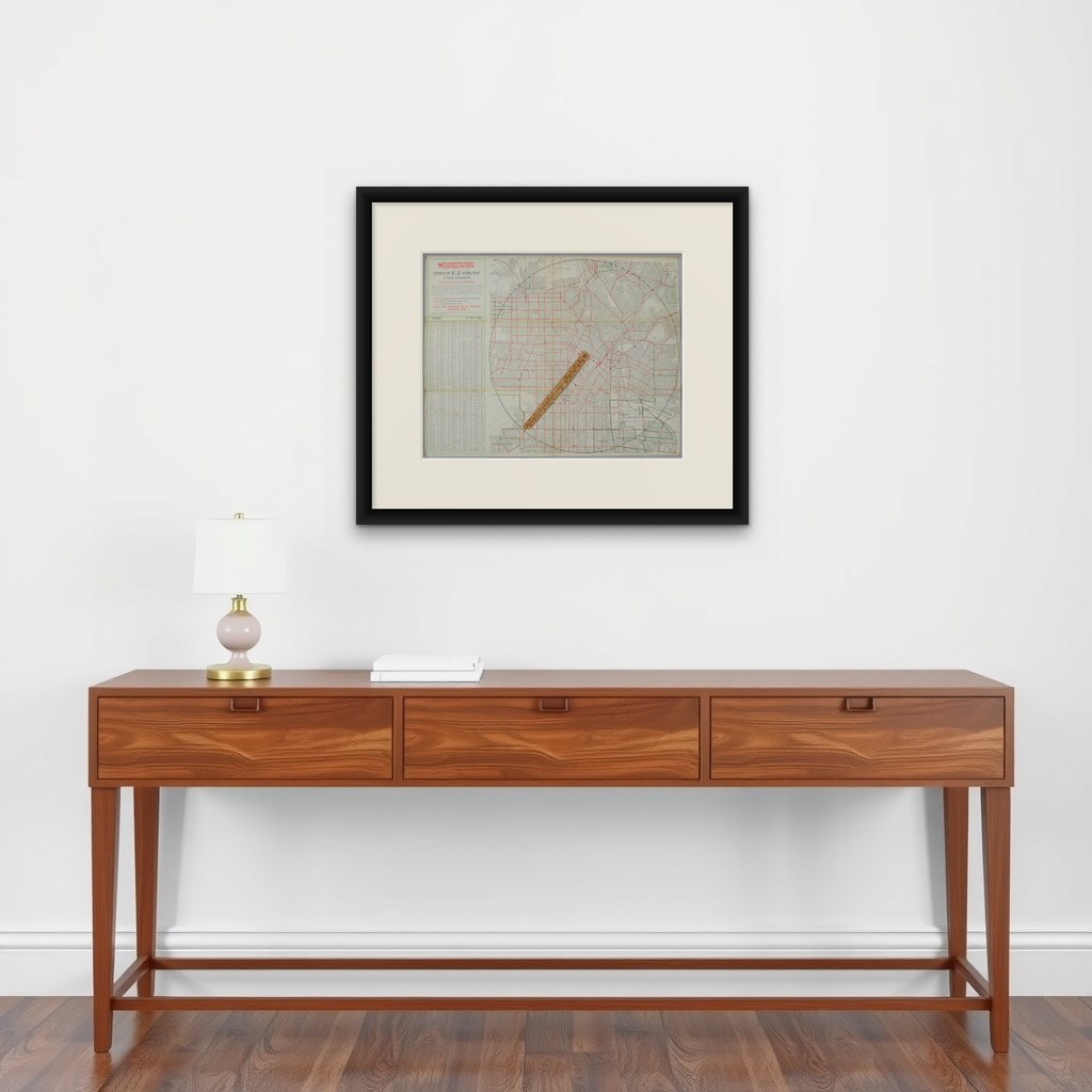
Antique E-Z Guide Map of Los Angeles with Rotating Locator, 1927
1927 · Maps

Antique E-Z Guide Map of Los Angeles with Rotating Locator, 1927

$490
€440 · dollar price at today's exchange rate

Buy now Ask a question

Shipping to the United States: $51 standard, $73 express, insured and tracked.

Date
1927
Kind
Maps
Size
32.5 × 42.2 cm (12.8 × 16.6 in)
Condition
Good. Wear consistent with age and use. Good antique condition. Issued folding, with the original fold lines, scattered spotting, age toning and light wear along the folds and edges. The important rotating wooden locator remains present and attached. Please examine the photographs first.Seller Locatio
Period
The Twentieth Century
Places
California
Reference
BG-14365
What the condition grades mean
Excellent
Bright and clean, with no faults worth mentioning.
Very good
Only light signs of age, such as faint toning.
Good
Normal signs of age for a sheet of this period: toning, some foxing, small marks or neat old repairs.
Fair
Clear faults such as staining, tears or repairs, priced to match.

Every fault we see is written in the condition note, and the whole sheet is shown uncropped in the photos.

Guaranteed original. This is an original of the period stated, not a later reproduction or print-on-demand copy. If it is ever shown to be otherwise, we refund you in full.
Shipping to the United States. Sent from our gallery in Langweer, the Netherlands, flat between boards or rolled in a tube, and fully insured. Delivery and import charges.
About this piece

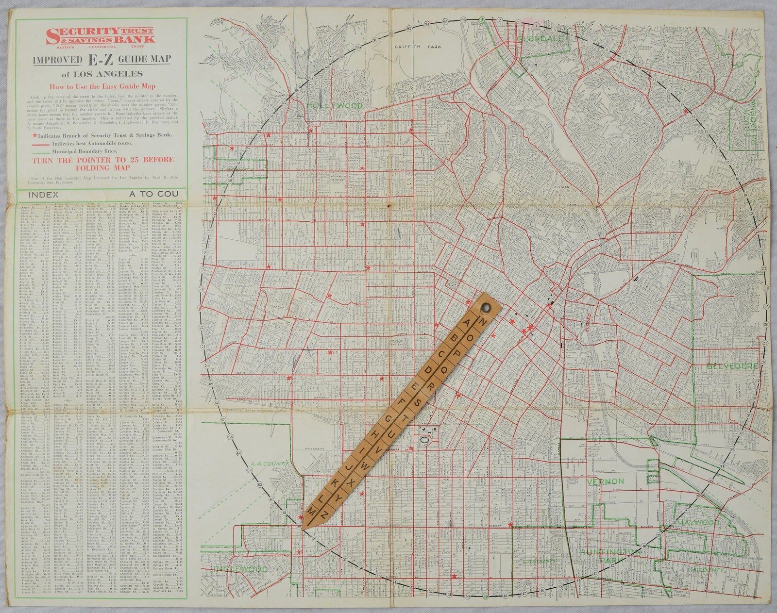
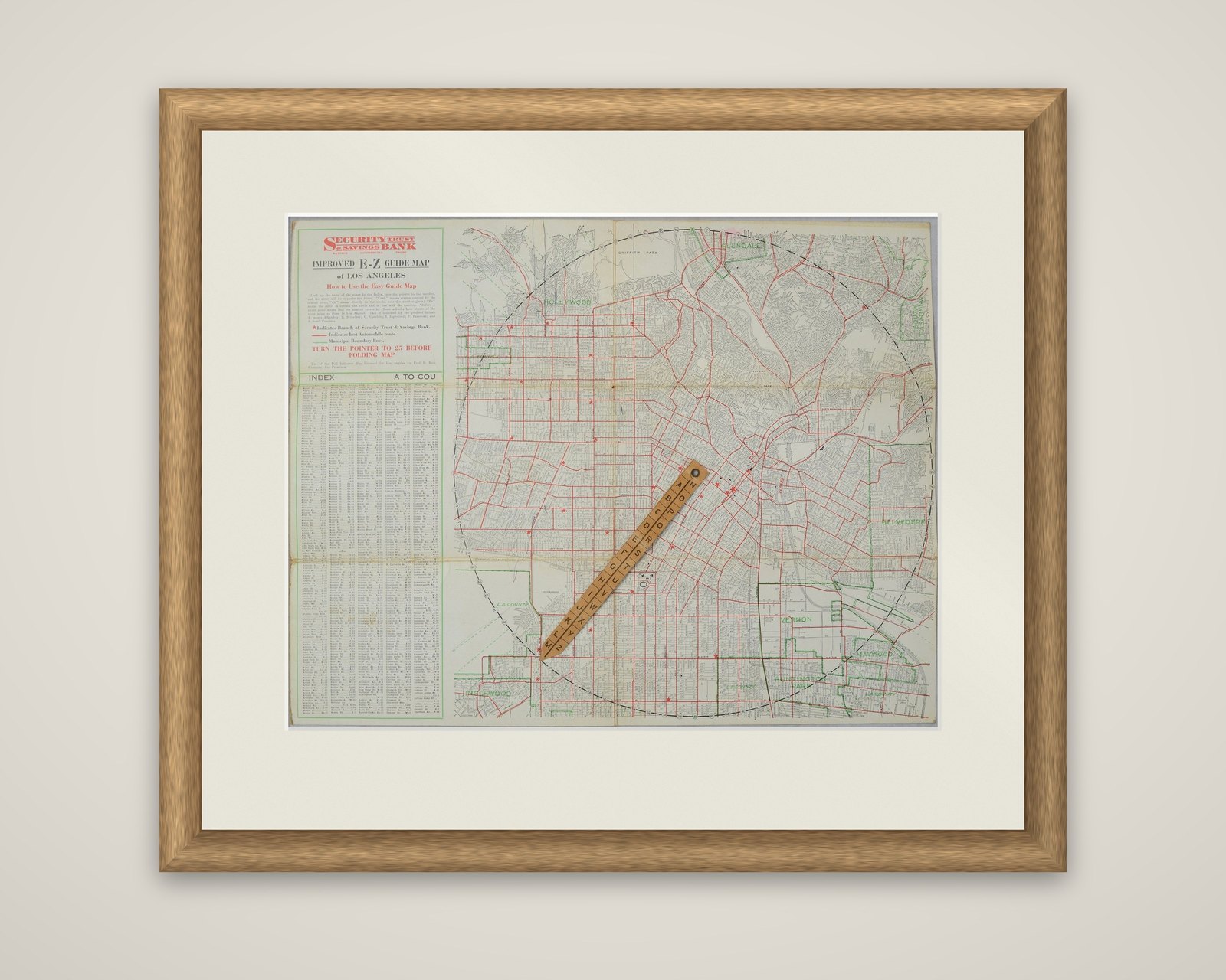
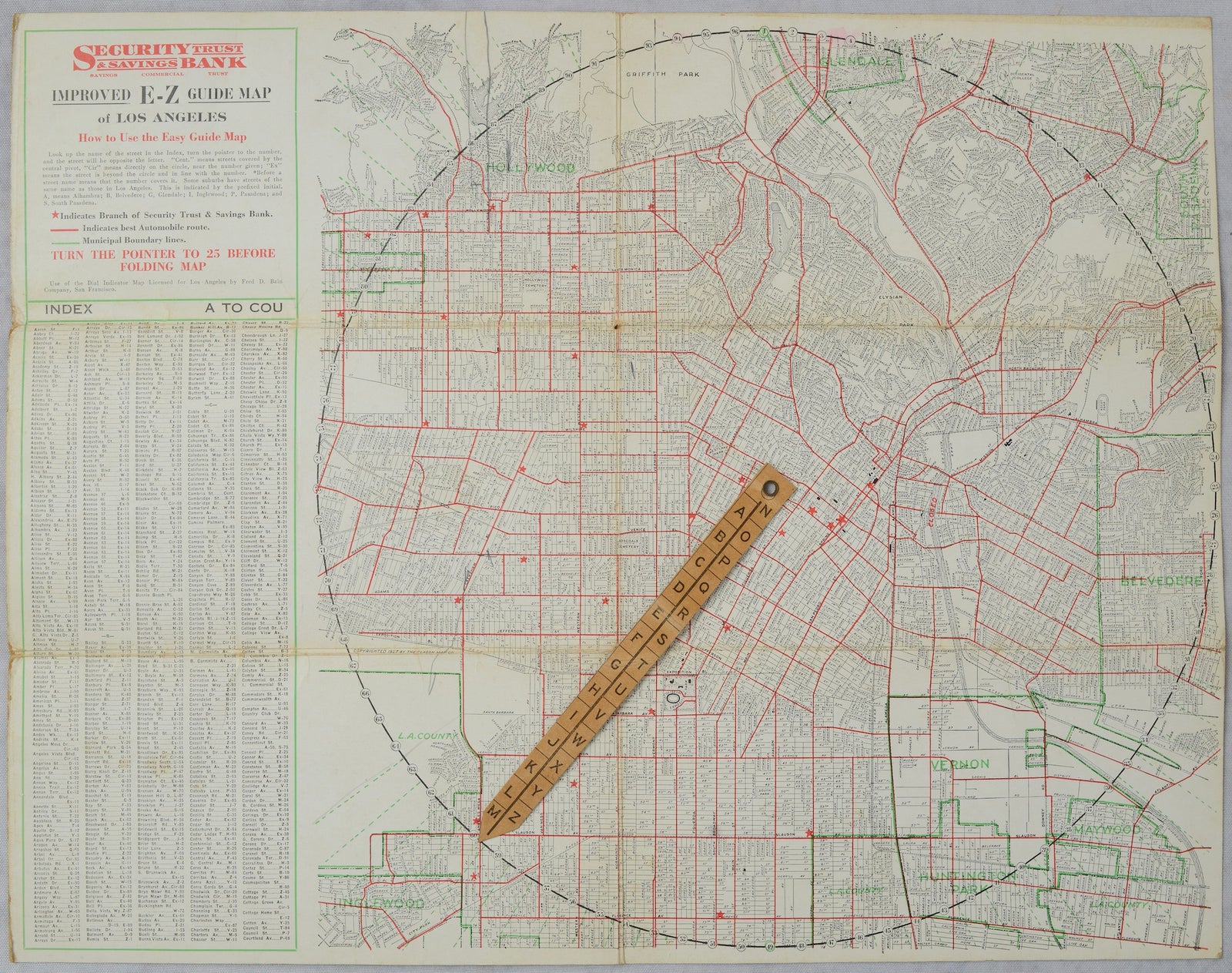
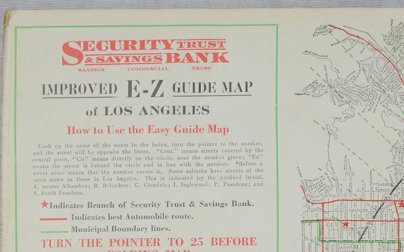
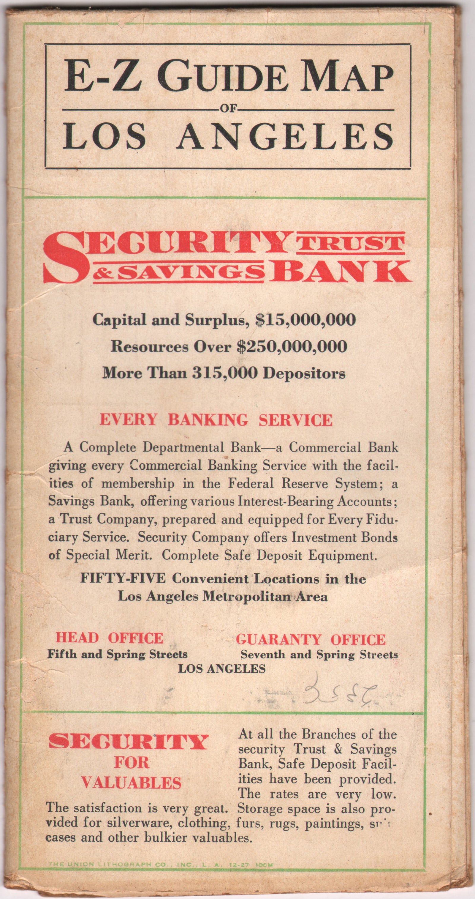
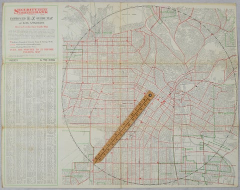
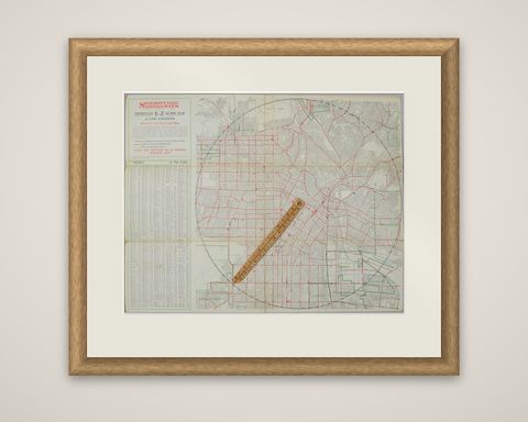
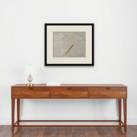
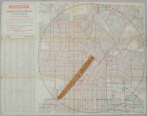
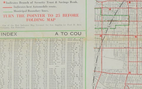
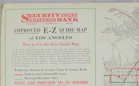
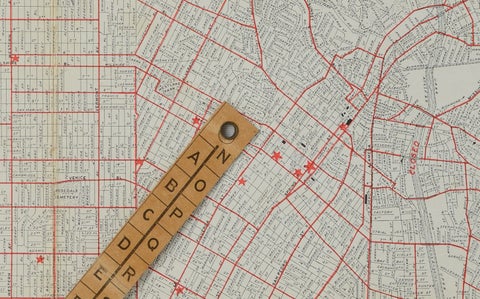
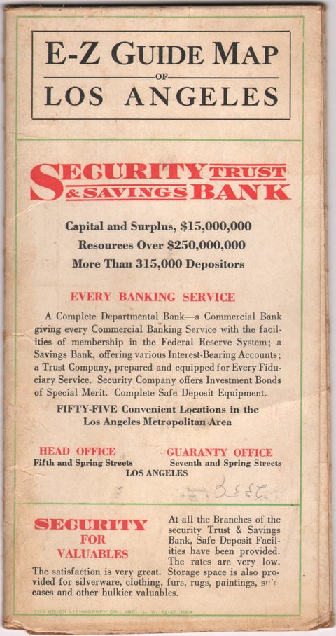
A 1927 street map of Los Angeles with a working rotating locator, issued by the Security Trust & Savings Bank as an advertising map under the title "Improved E-Z Guide Map of Los Angeles". The old description credits the Clason Map Company as maker. It is printed in red, green and black on card stock, and a wooden pointer is still attached to the sheet by its metal rivet.

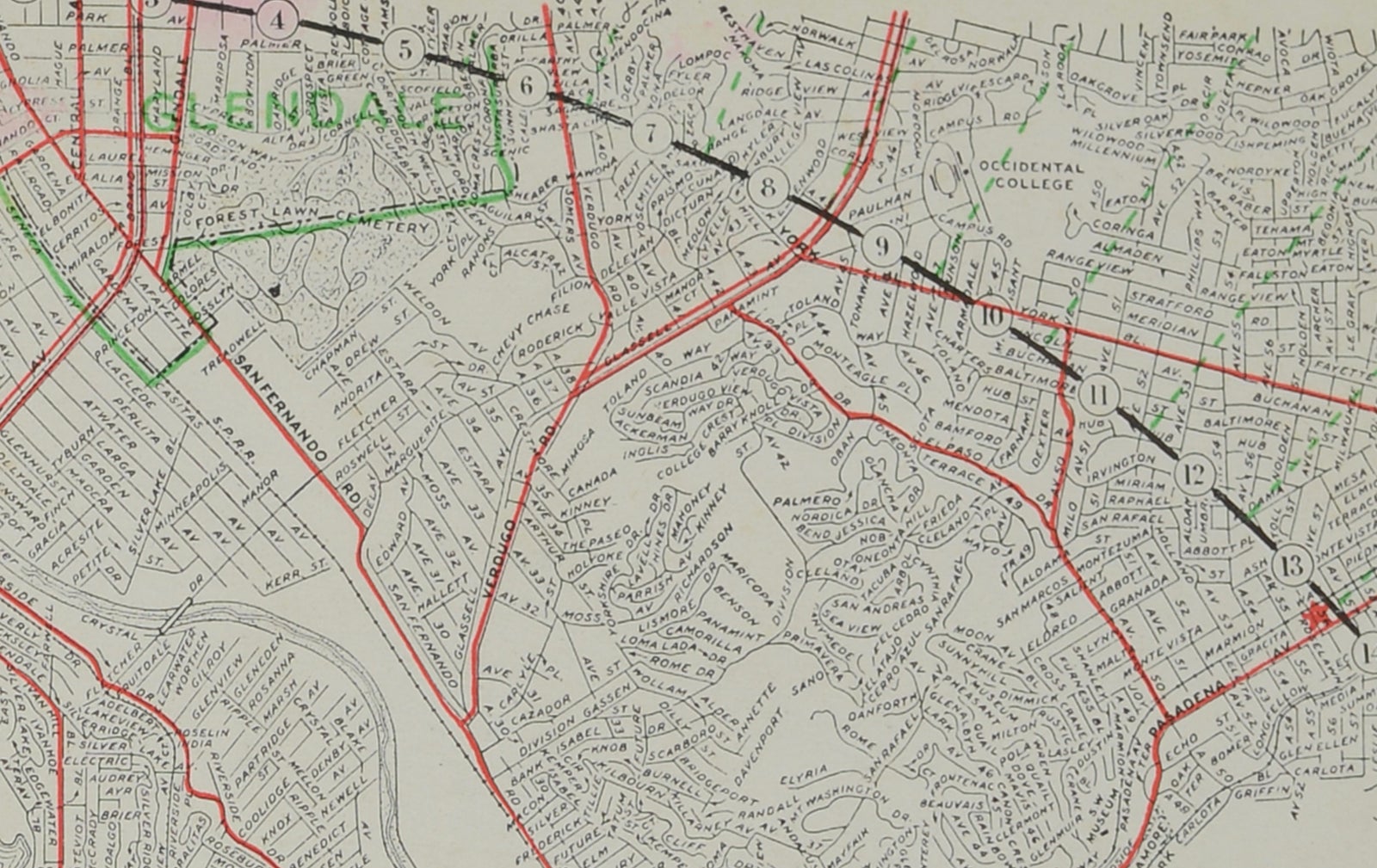
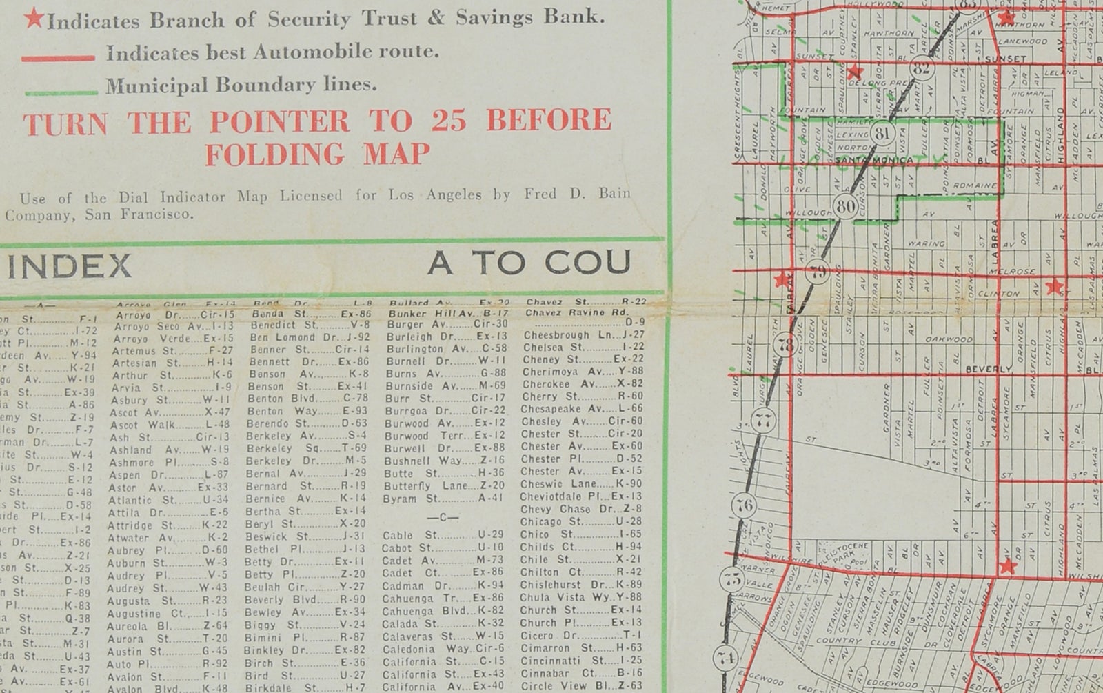
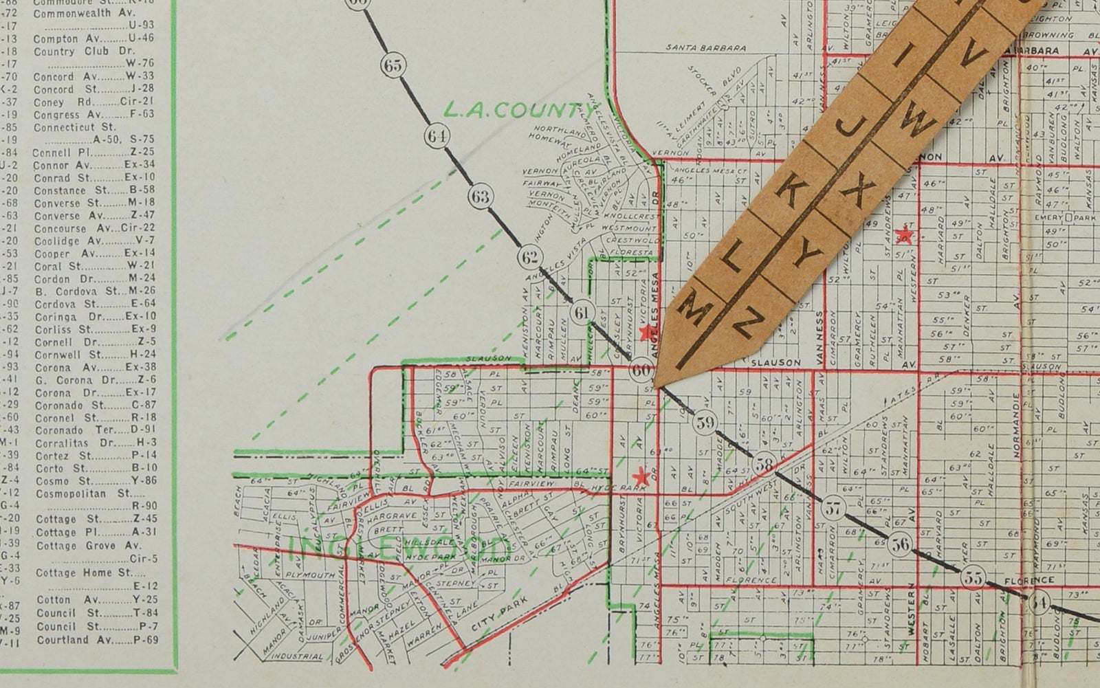
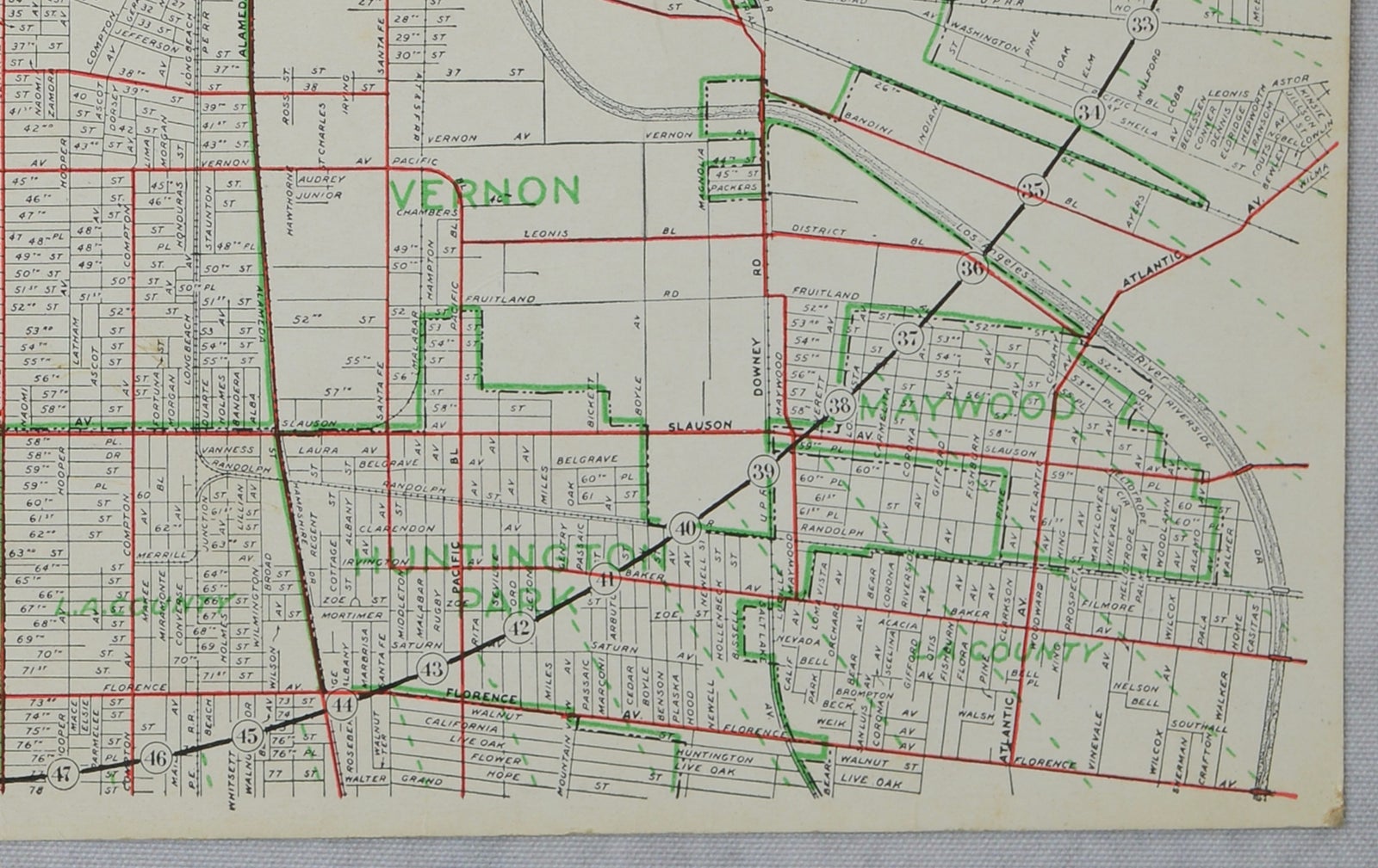
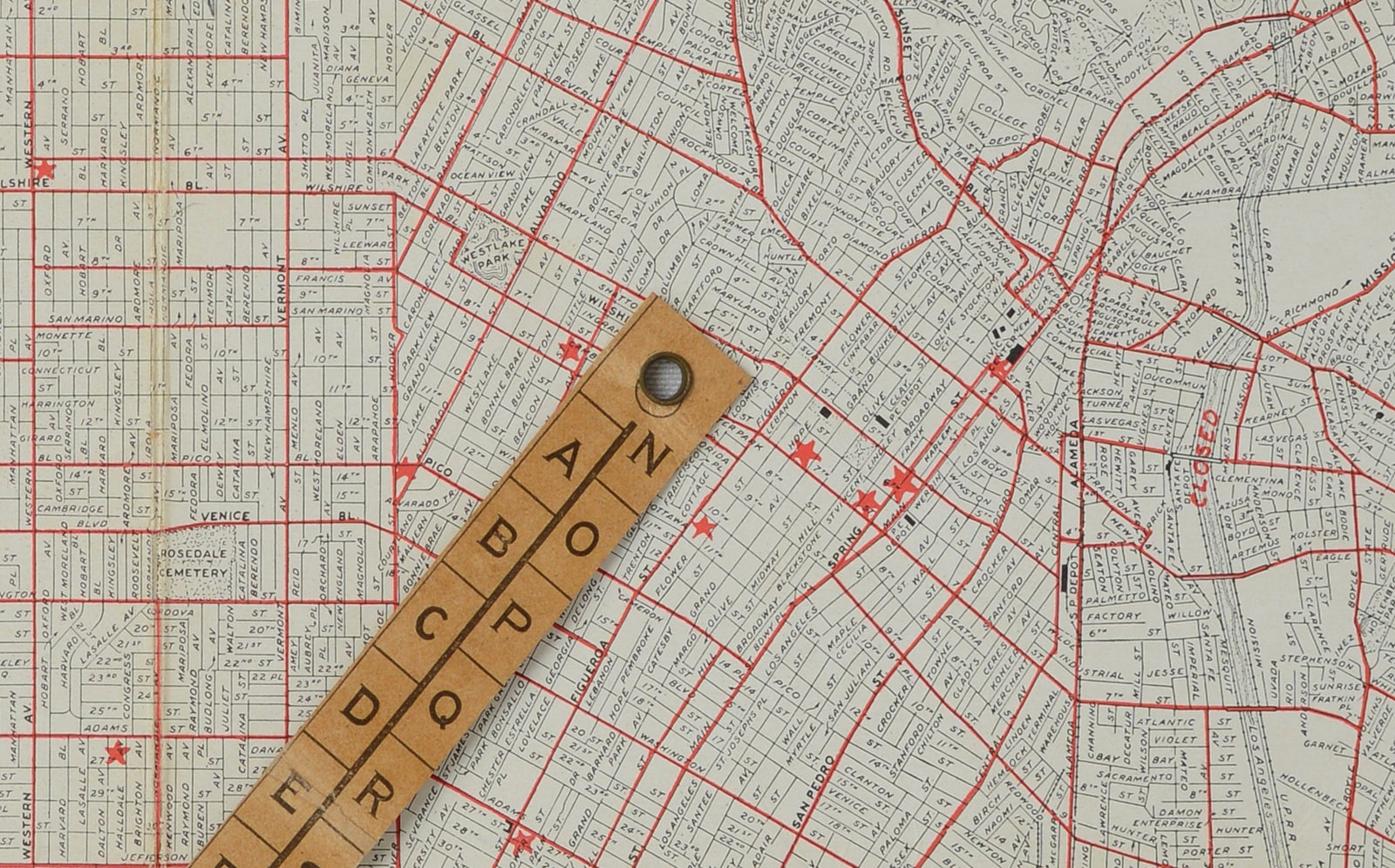
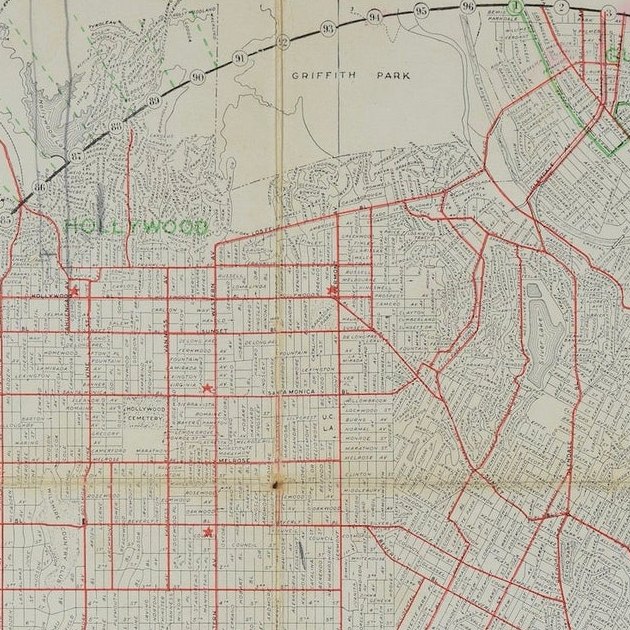
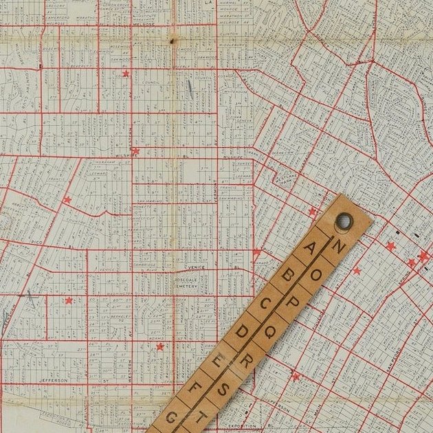
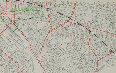
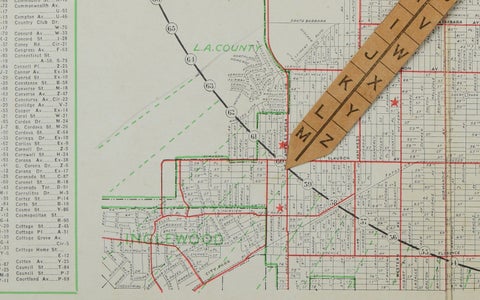
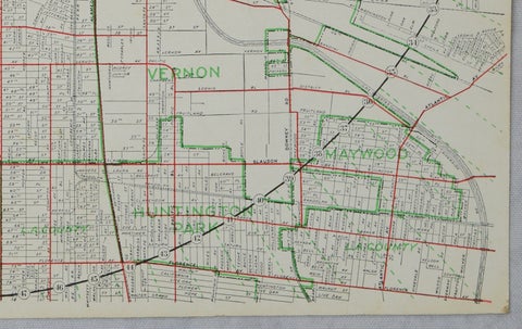
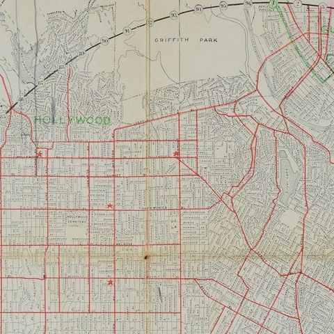
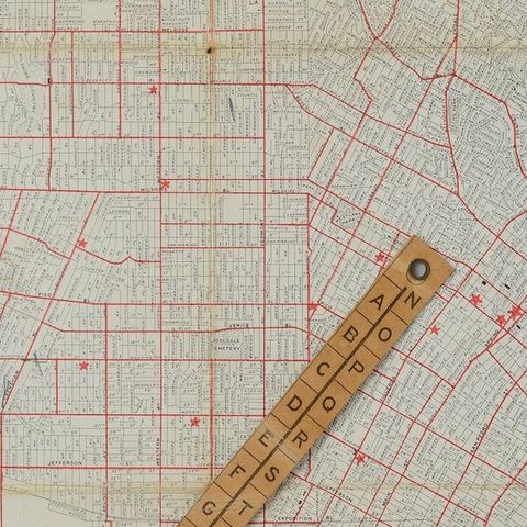
The map covers central Los Angeles and the surrounding communities, including Hollywood at the upper left, Glendale, South Pasadena, Inglewood, Huntington Park and Vernon. Griffith Park, Elysian Park, Exposition Park and Hollywood Cemetery are named. Red and green lines mark principal automobile routes, municipal boundaries and the branches of the bank, and a large printed circle surrounds the central area.

The locator works with the index in the left margin. The circle is numbered around its edge, and the pointer carries the letters A to Z, so a user could look up a street, read off a letter and number, and turn the pointer to the right spot. A "How to Use the Easy Guide Map" panel sits at upper left. The folding cover advertises the bank's 55 offices around the city and is dated 12-27.

★

More of California


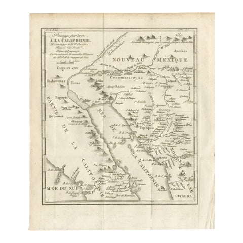
Original Antique Map of the Western Part of NEW MEXICO & CALIFORNIA
1765
$1,455
Antique Map of Baja California and parts of Alta California, Arizona and Sonora
1765
$1,110
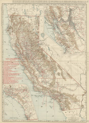
1888 California Map – The Golden State’s Railroads, Cities & Counties
1888 · Rand McNally
$605
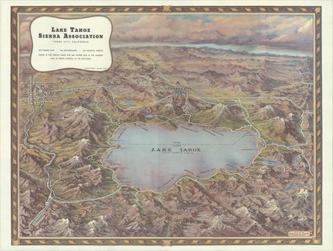
Vintage Lake Tahoe Bird’s-Eye View Pictorial Map by Gerald A. Eddy, circa 1945
1945
$605
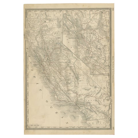
Antique Map of California, The Golden State, Rand McNally, 1899
1899 · Rand McNally
$555
Old Map of the Overland Route to California – Early Exploration Pathways, 1701
1701
$550
Antique Map of San Francisco, with Golden Gate Park, Rand McNally, 1899
1899 · Rand McNally
$500
Vintage Literary Map of Los Angeles by Linda Ayriss, 1987
1987
$500

Ask about this print

We reply by email, usually within one working day.

Your favorites

Saved in this browser. Email the list to yourself to keep it on any device.

We use your email to send this list and, only if you tick the box and confirm, for occasional new arrivals. Every email has an unsubscribe link. Bartele Gallery, the Netherlands.

Your bag

Total

Each piece is bought on its own; shipping is added at checkout.