1701 · Maps
Old Map of the Overland Route to California – Early Exploration Pathways, 1701
$550
€490 · dollar price at today's exchange rate
Buy now Ask a question
Shipping to the United States: $51 standard, $73 express, insured and tracked.
- Date
- 1701
- Kind
- Maps
- Size
- 28 × 24 cm (11 × 9.4 in)
- Period
- Colonial America
- Places
- Mexico, Arizona, California
- Reference
- BG-14078-33
What the condition grades mean
- Excellent
- Bright and clean, with no faults worth mentioning.
- Very good
- Only light signs of age, such as faint toning.
- Good
- Normal signs of age for a sheet of this period: toning, some foxing, small marks or neat old repairs.
- Fair
- Clear faults such as staining, tears or repairs, priced to match.
Every fault we see is written in the condition note, and the whole sheet is shown uncropped in the photos.
Guaranteed original. This is an original of the period stated, not a later reproduction or print-on-demand copy. If it is ever shown to be otherwise, we refund you in full.
Shipping to the United States. Sent from our gallery in Langweer, the Netherlands, flat between boards or rolled in a tube, and fully insured.
Delivery and import charges.
About this piece
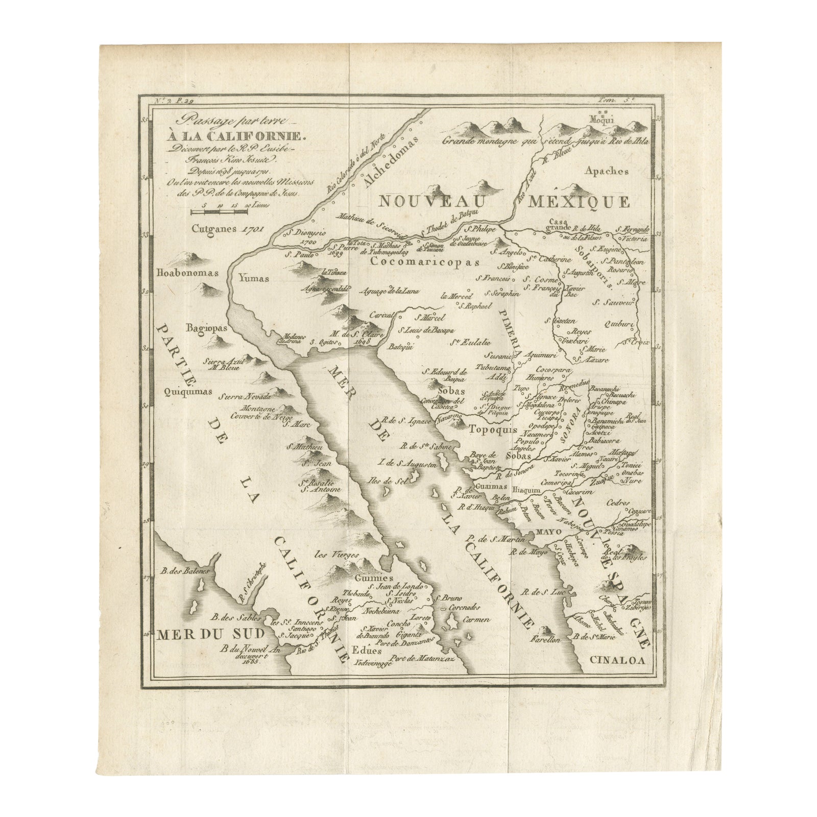
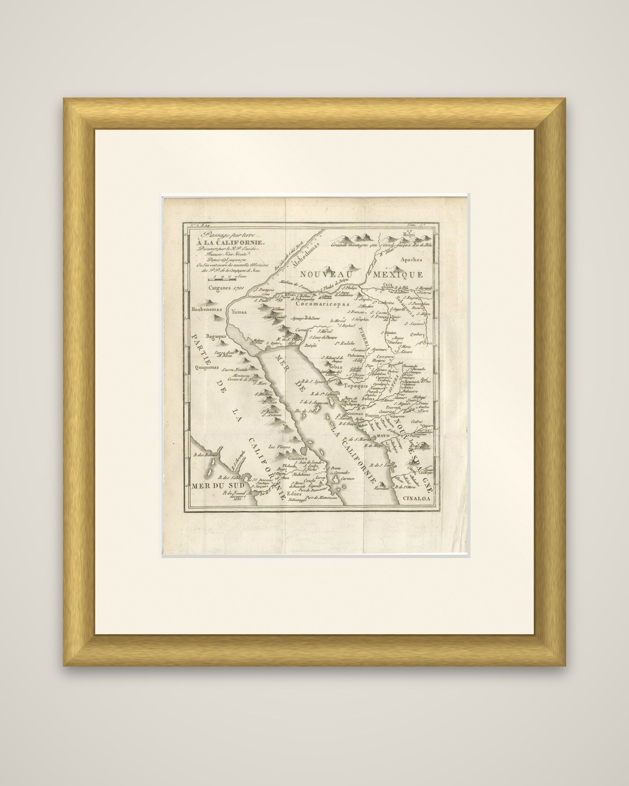
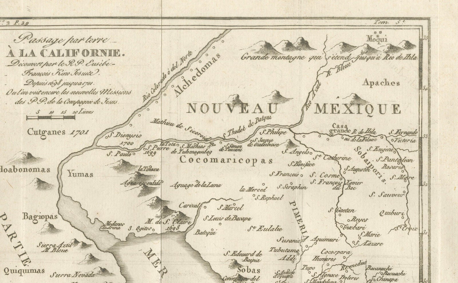
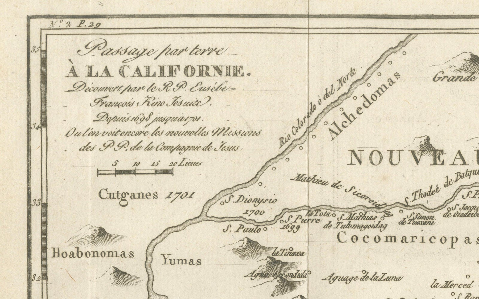
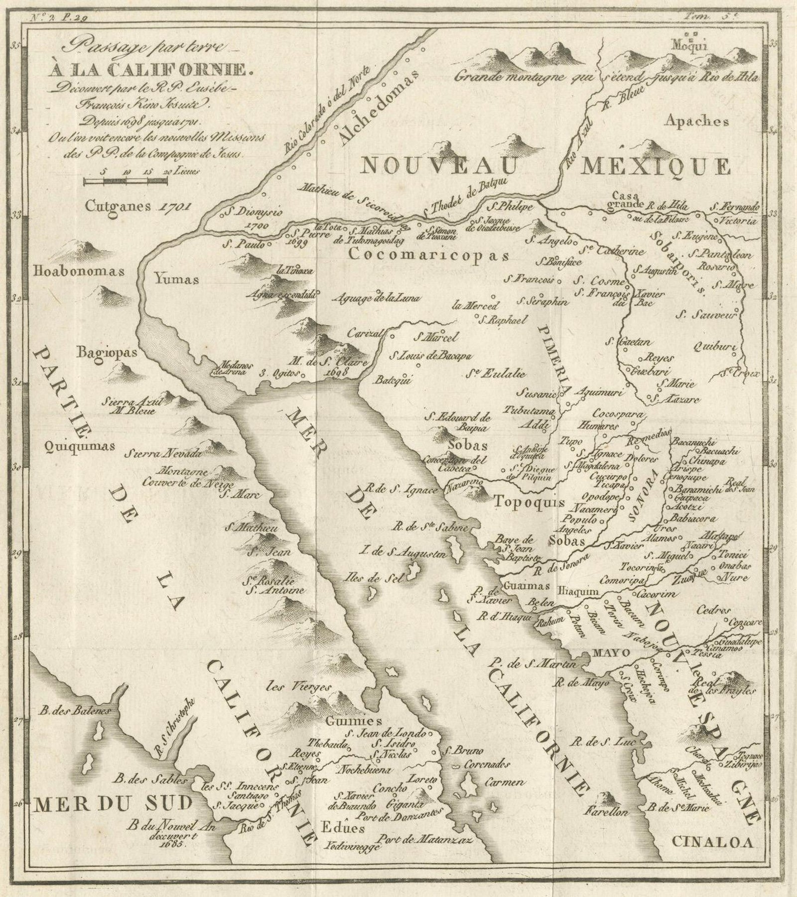
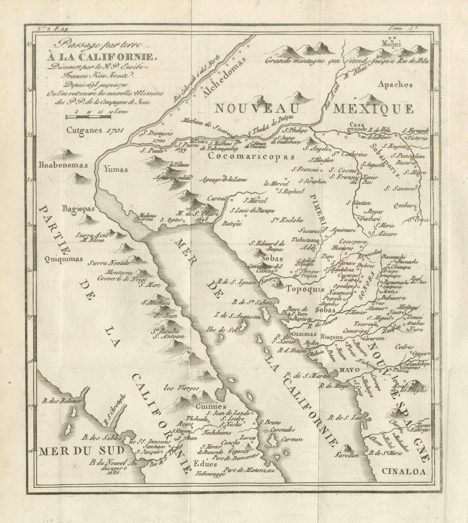
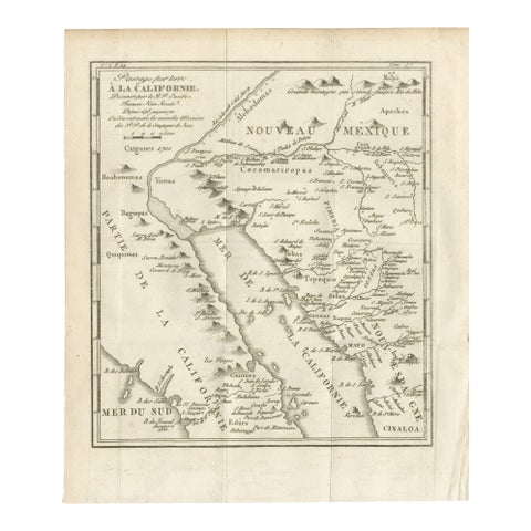
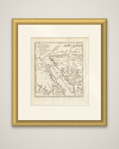
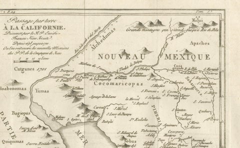
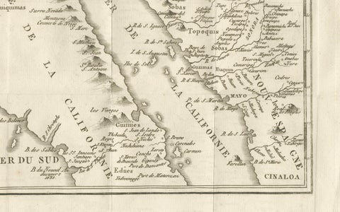
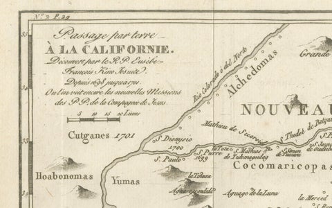
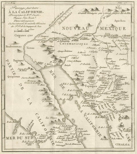
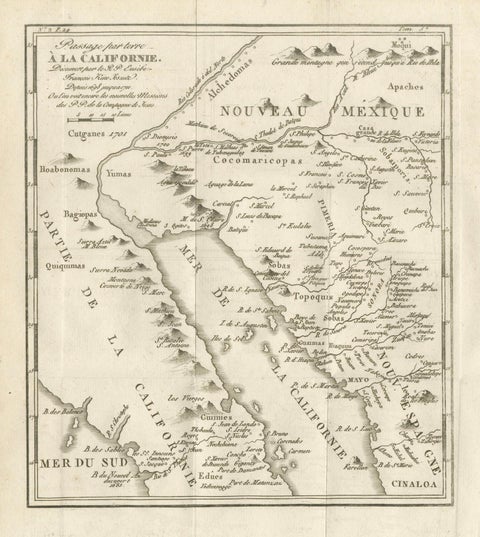
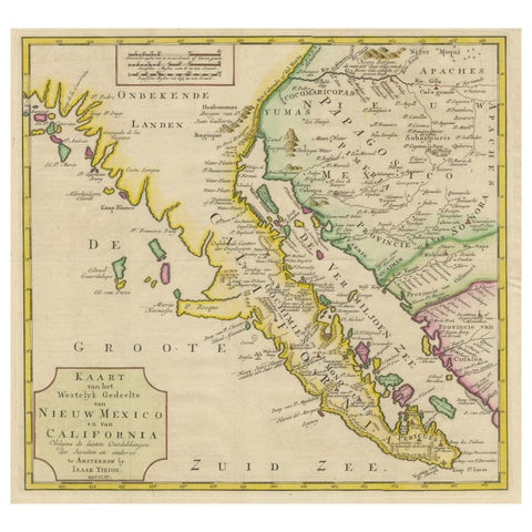
The overland route to California as explored by the Jesuit Father Eusebio Francisco Kino, an original copper engraving with the title "Passage par terre à la Californie, découvert par le R.P. Eusebe-François Kino Jésuite, depuis 1698 jusqu'en 1701, où l'on voit encore les nouvelles Missions des PP. de la Compagnie de Jesus." The field date is 1701, the year of Kino's last discoveries marked on the map, and the sheet is a later printed copy of his geography.
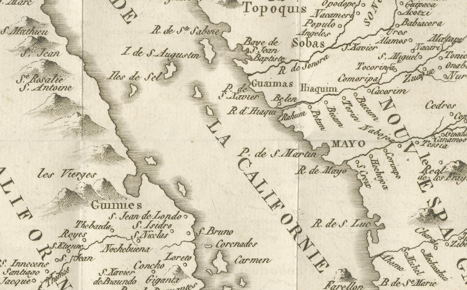
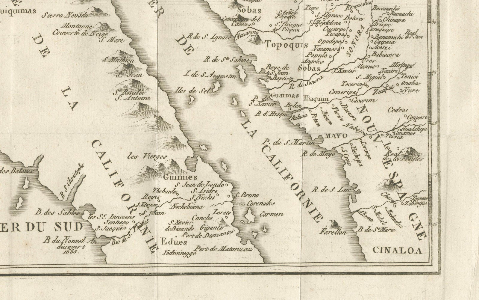
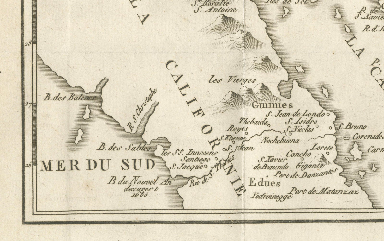
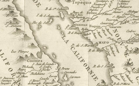
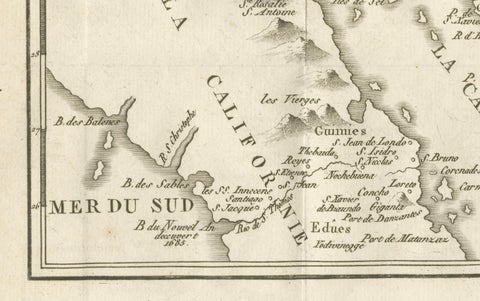
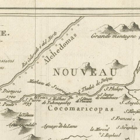
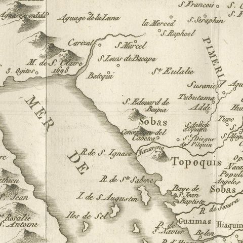
The map covers the head of the Gulf of California, here lettered "Mer de la Californie," with the peninsula drawn as a long land attached to the mainland, "Partie de la Californie," along the left. On the mainland are Sonora and Pimería and, at the top, "Nouveau Mexique," with the peoples lettered across the country: Yumas, Hoabonomas, Cocomaricopas, Sobas, Topoquis, Apaches and the Moquis (Hopi) at the upper right. Mission settlements are named across Pimería and Sonora, with rivers, mountain ranges and the large islands of the gulf, including the Isle de l'Ange Gardien, Carmen and Tiburon. A scale of leagues appears at the upper left.
The map is best known for its argument that California is a peninsula and not an island, a belief that Kino's journeys helped to settle.