1780 · Maps
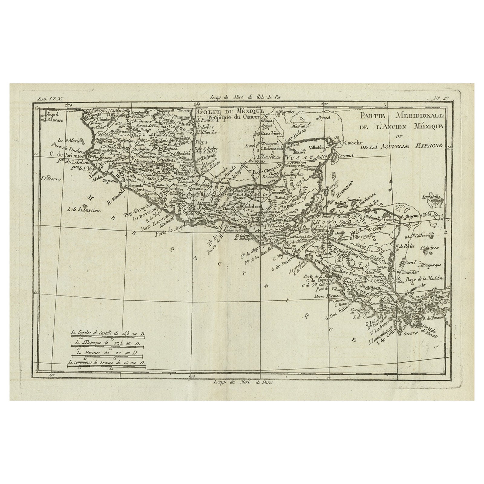
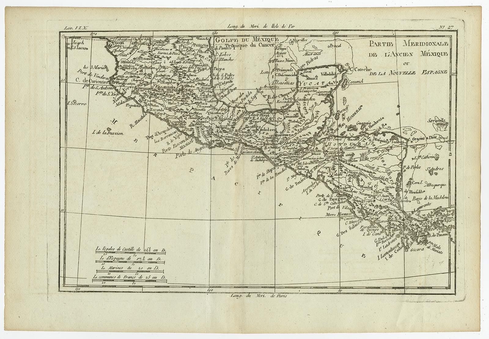
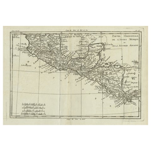
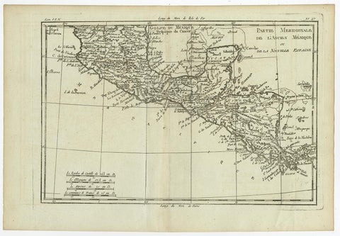
Antique French Engraving of Mexico with Lots of Details, c.1780
$390
€350 · dollar price at today's exchange rate
Buy now Ask a question
Shipping to the United States: $51 standard, $73 express, insured and tracked.
- Date
- 1780
- Maker
- Jacques-Nicolas Bellin
- Kind
- Maps
- Size
- 38 × 26 cm (15 × 10.2 in)
- Condition
- Good
- Period
- The Early Republic
- Places
- Mexico
- Reference
- PCT-61579
What the condition grades mean
- Excellent
- Bright and clean, with no faults worth mentioning.
- Very good
- Only light signs of age, such as faint toning.
- Good
- Normal signs of age for a sheet of this period: toning, some foxing, small marks or neat old repairs.
- Fair
- Clear faults such as staining, tears or repairs, priced to match.
Every fault we see is written in the condition note, and the whole sheet is shown uncropped in the photos.
Guaranteed original. This is an original of the period stated, not a later reproduction or print-on-demand copy. If it is ever shown to be otherwise, we refund you in full.
Shipping to the United States. Sent from our gallery in Langweer, the Netherlands, flat between boards or rolled in a tube, and fully insured.
Delivery and import charges.
About this piece
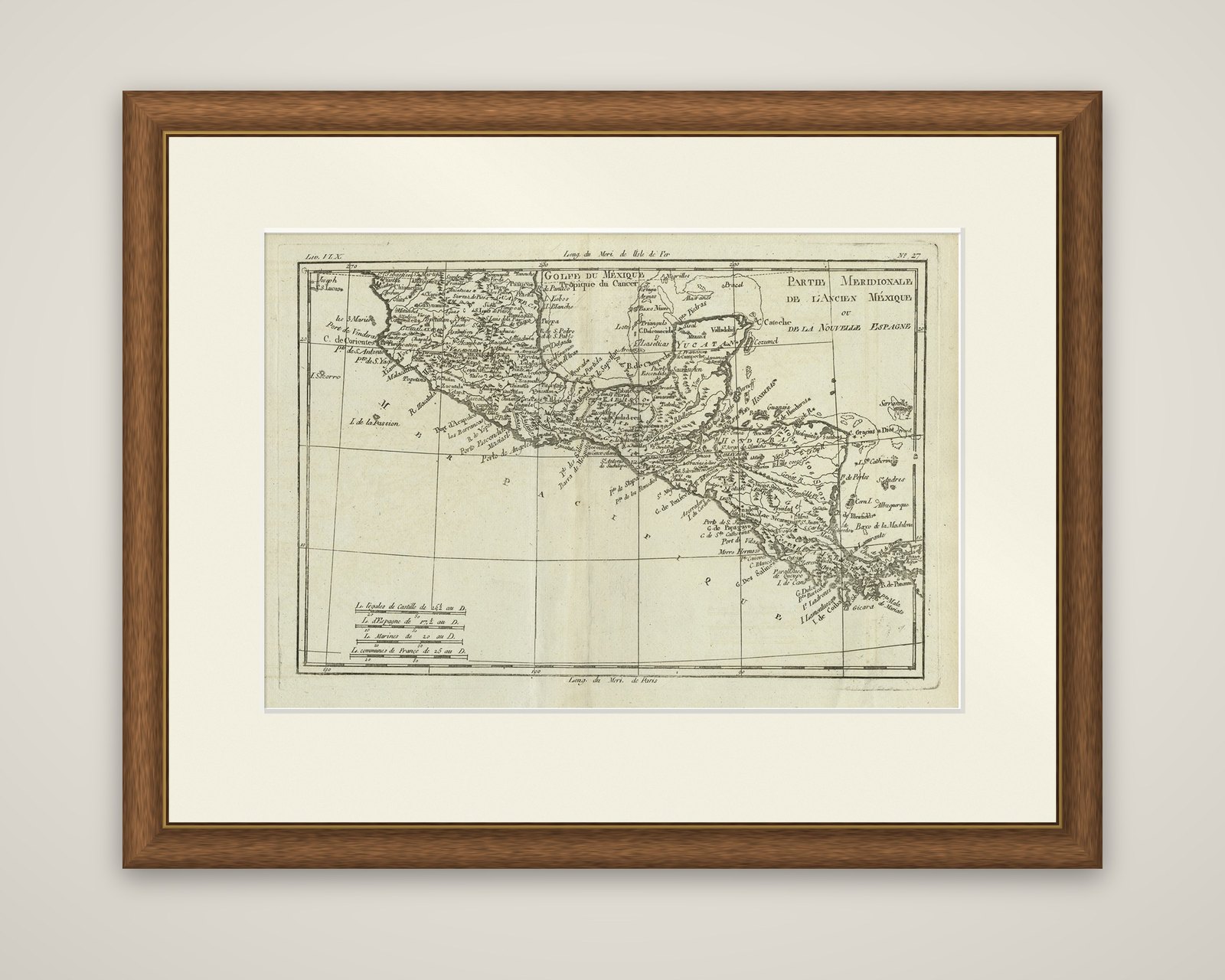
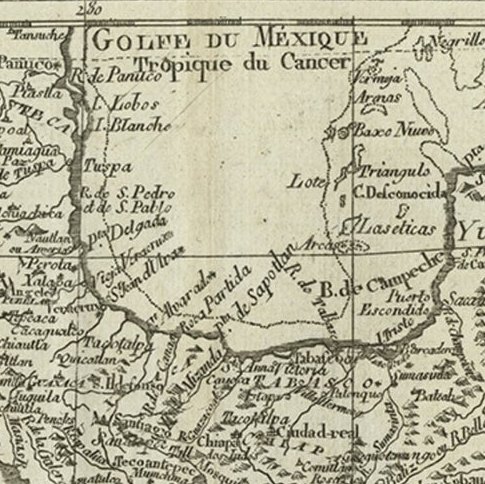
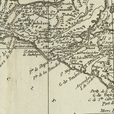
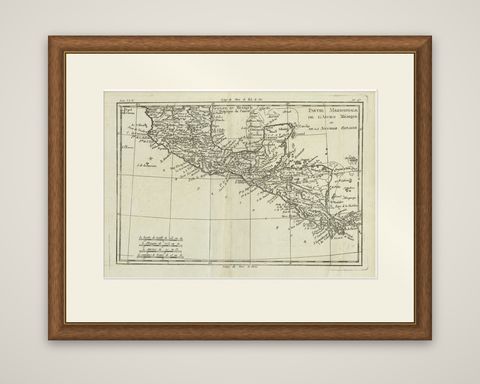
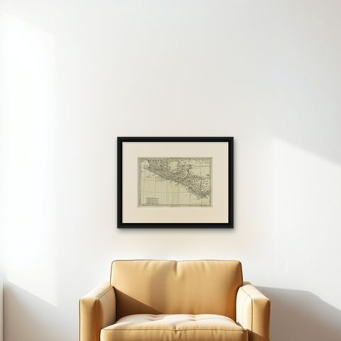
Southern Mexico, Yucatán and Central America, an original copper engraving by Rigobert Bonne dating from about 1780, titled "Partie Meridionale de l'Ancien Mexique ou de la Nouvelle Espagne." The map is printed in black line without color, with the title lettered in the upper right corner and a ruled border carrying the degrees of longitude.
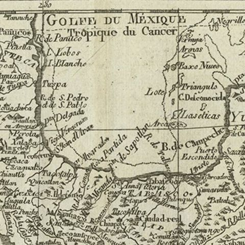
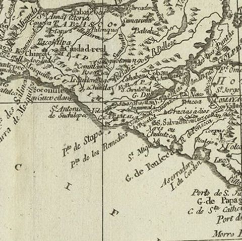
The sheet shows the Gulf of Mexico (Golfe du Mexique), with the Tropic of Cancer marked at the top, and the Yucatán peninsula at the right. The Pacific is lettered across the large open area at the lower left. Down the isthmus, the coasts of New Spain and the provinces of Central America are traced to the Gulf of Panama, with ports, rivers, lakes, mountains and towns lettered along them in fine italics, and offshore islands and shoals are named in the Caribbean. Four scales at the lower left give leagues of Castile, of Spain, marine leagues and common leagues of France.
Bonne was Royal Cartographer to France at the Dépôt de la Marine from 1773. His maps favor clear, practical detail over decoration, with no hand color or elaborate cartouche, and they present New Spain as the French reading public of the 1780s knew it.