

A Bartele Gallery CollectionLangweer · Jakarta

American Maps & Prints
Original antique maps, charts & prints of the Americas ★ Originals only


Home › Canada & the North
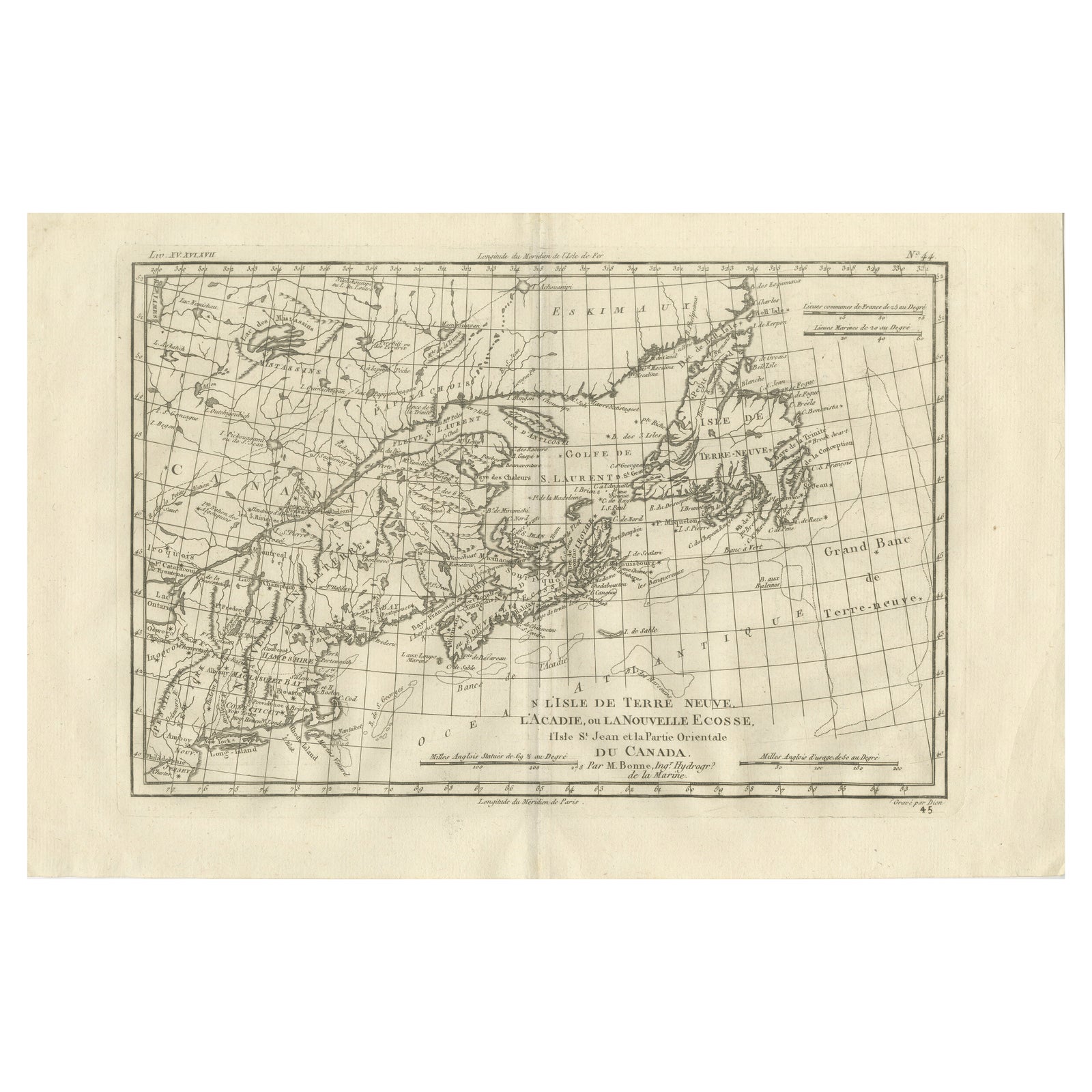
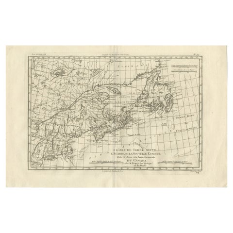
Antique Map of Canada, Newfoundland & Acadia, Gulf of St Lawrence, Bonne c.1780
1780 · Maps

Antique Map of Canada, Newfoundland & Acadia, Gulf of St Lawrence, Bonne c.1780

$355
€315 · dollar price at today's exchange rate

Buy now Ask a question

Shipping to the United States: $51 standard, $73 express, insured and tracked.

Date
1780
Maker
Rigobert Bonne
Kind
Maps
Size
26 × 41 cm (10.2 × 16.1 in)
Condition
Good. Good antique condition with age-related toning, a visible central fold as issued, light scattered spotting, and minor handling wear consistent with eighteenth-century paper; margins remain suitable for framing.
Period
The Early Republic
Places
Canada
Reference
BG-14105-45
What the condition grades mean
Excellent
Bright and clean, with no faults worth mentioning.
Very good
Only light signs of age, such as faint toning.
Good
Normal signs of age for a sheet of this period: toning, some foxing, small marks or neat old repairs.
Fair
Clear faults such as staining, tears or repairs, priced to match.

Every fault we see is written in the condition note, and the whole sheet is shown uncropped in the photos.

Guaranteed original. This is an original of the period stated, not a later reproduction or print-on-demand copy. If it is ever shown to be otherwise, we refund you in full.
Shipping to the United States. Sent from our gallery in Langweer, the Netherlands, flat between boards or rolled in a tube, and fully insured. Delivery and import charges.
About this piece

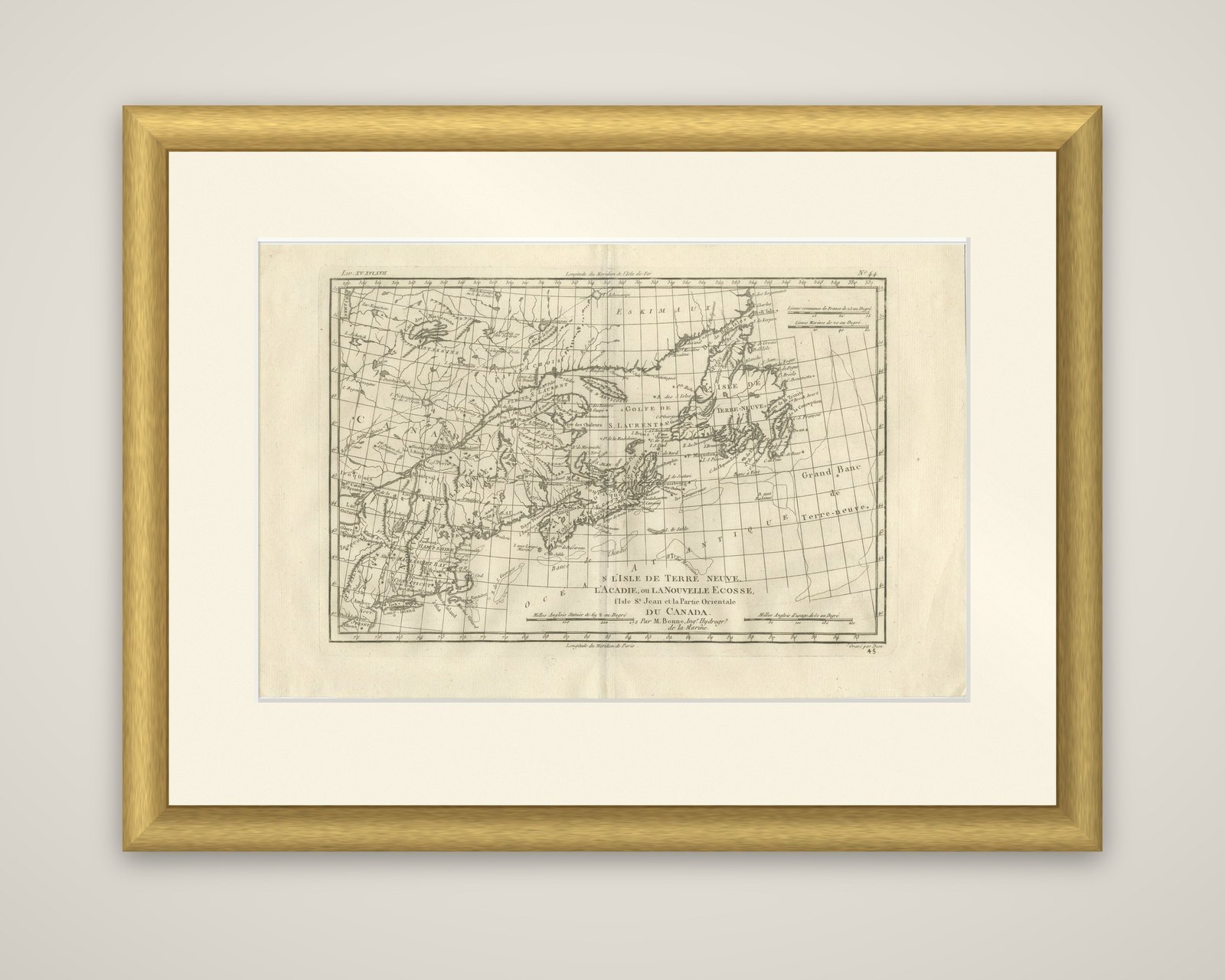
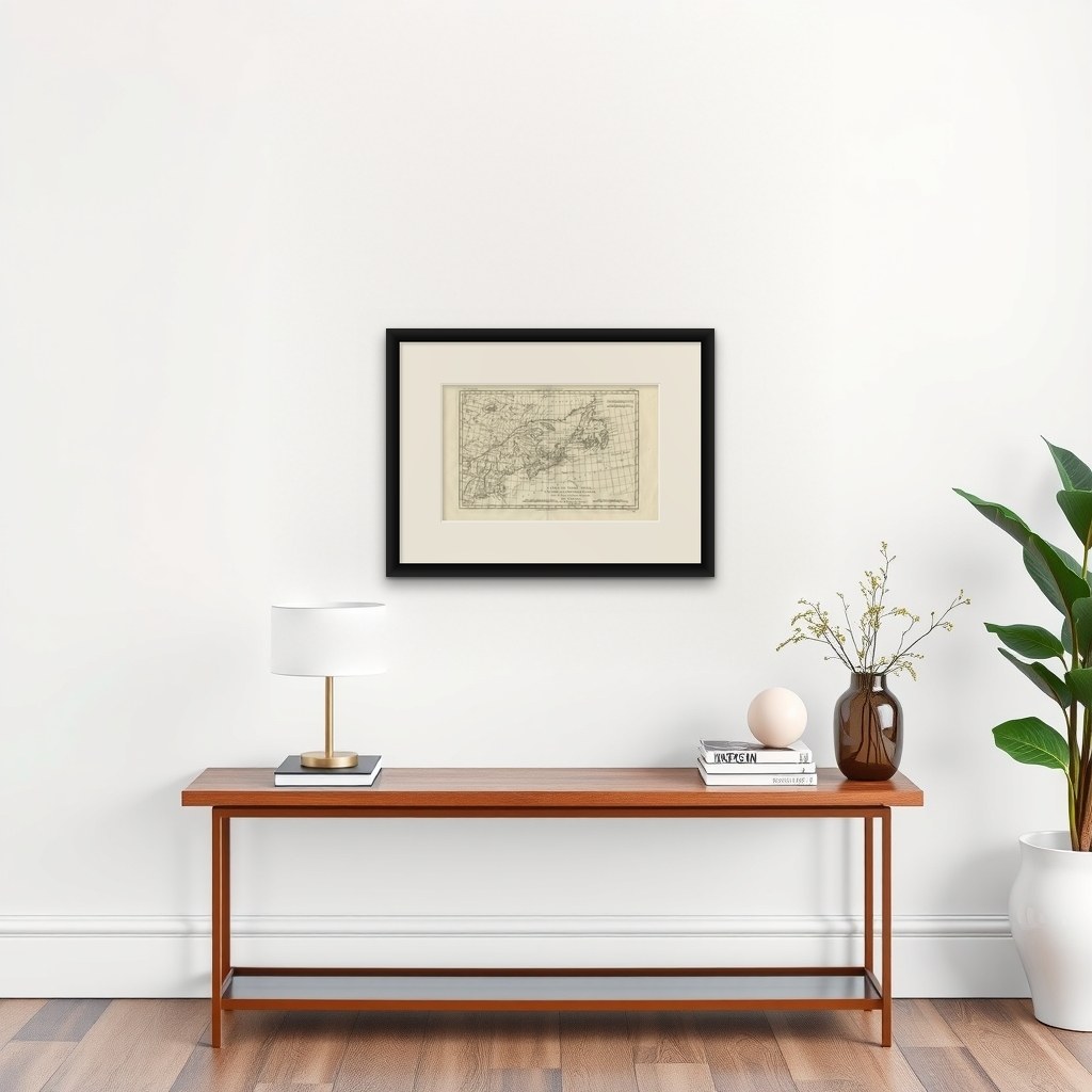
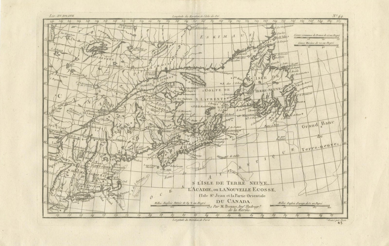
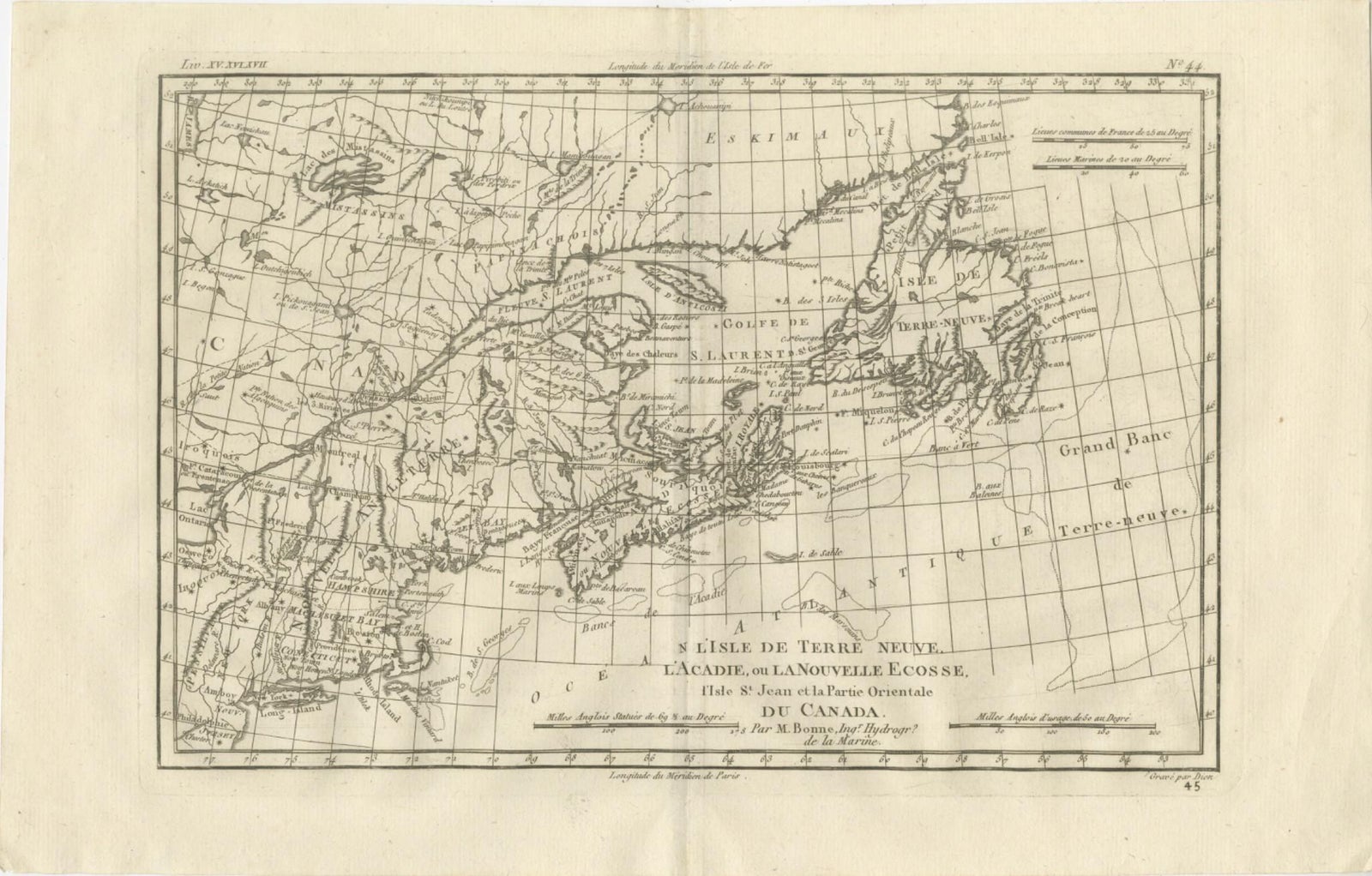
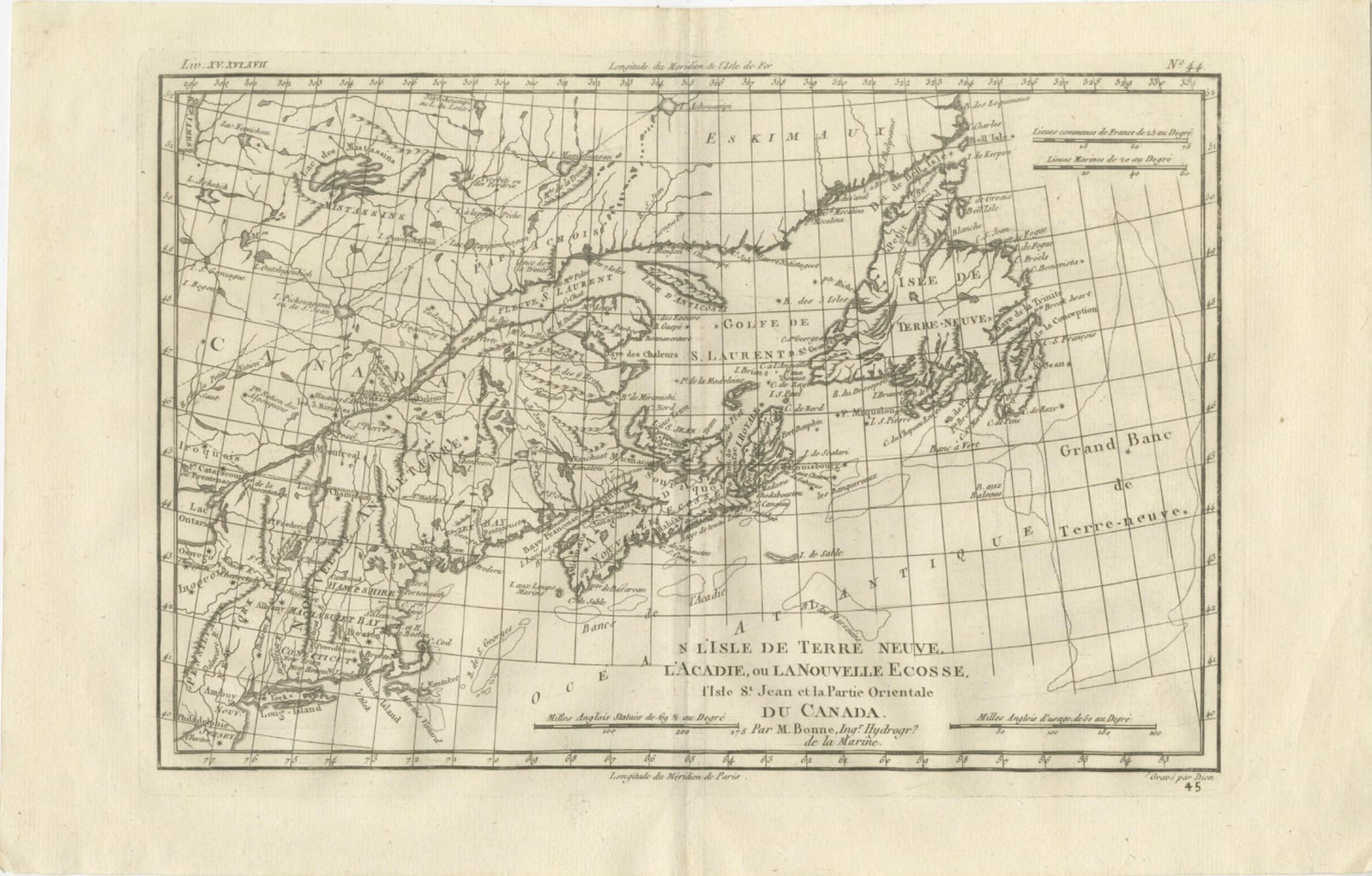
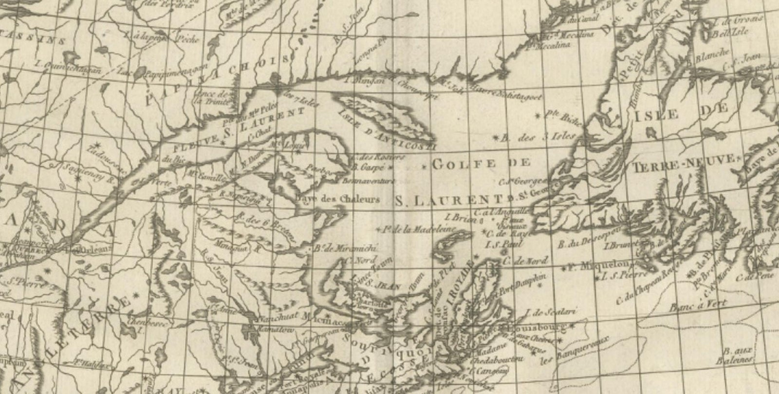
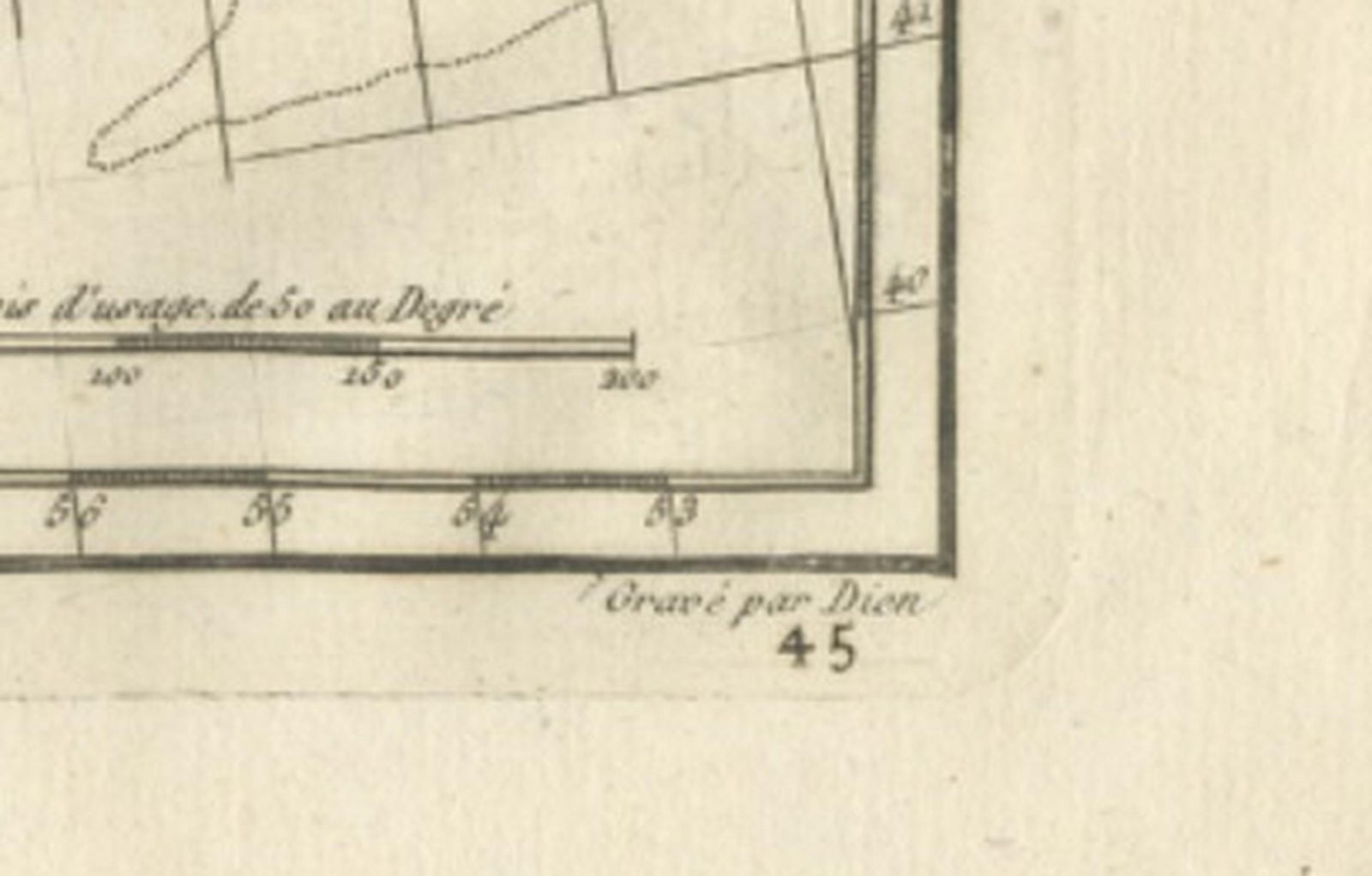
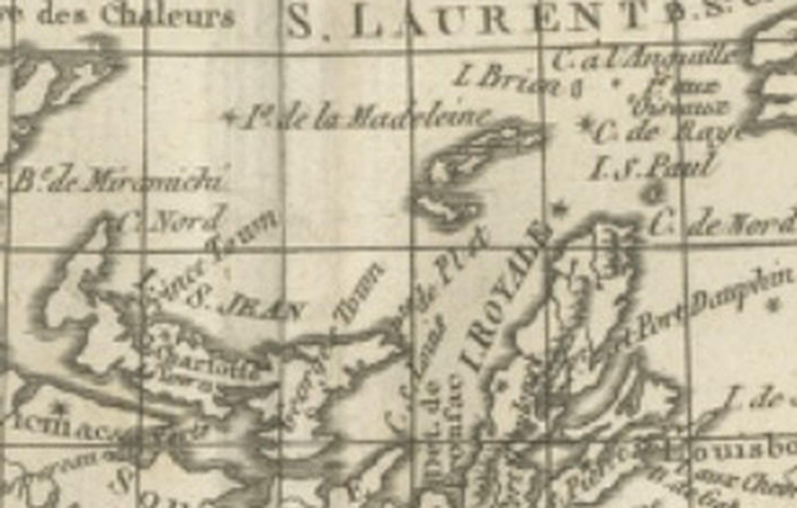
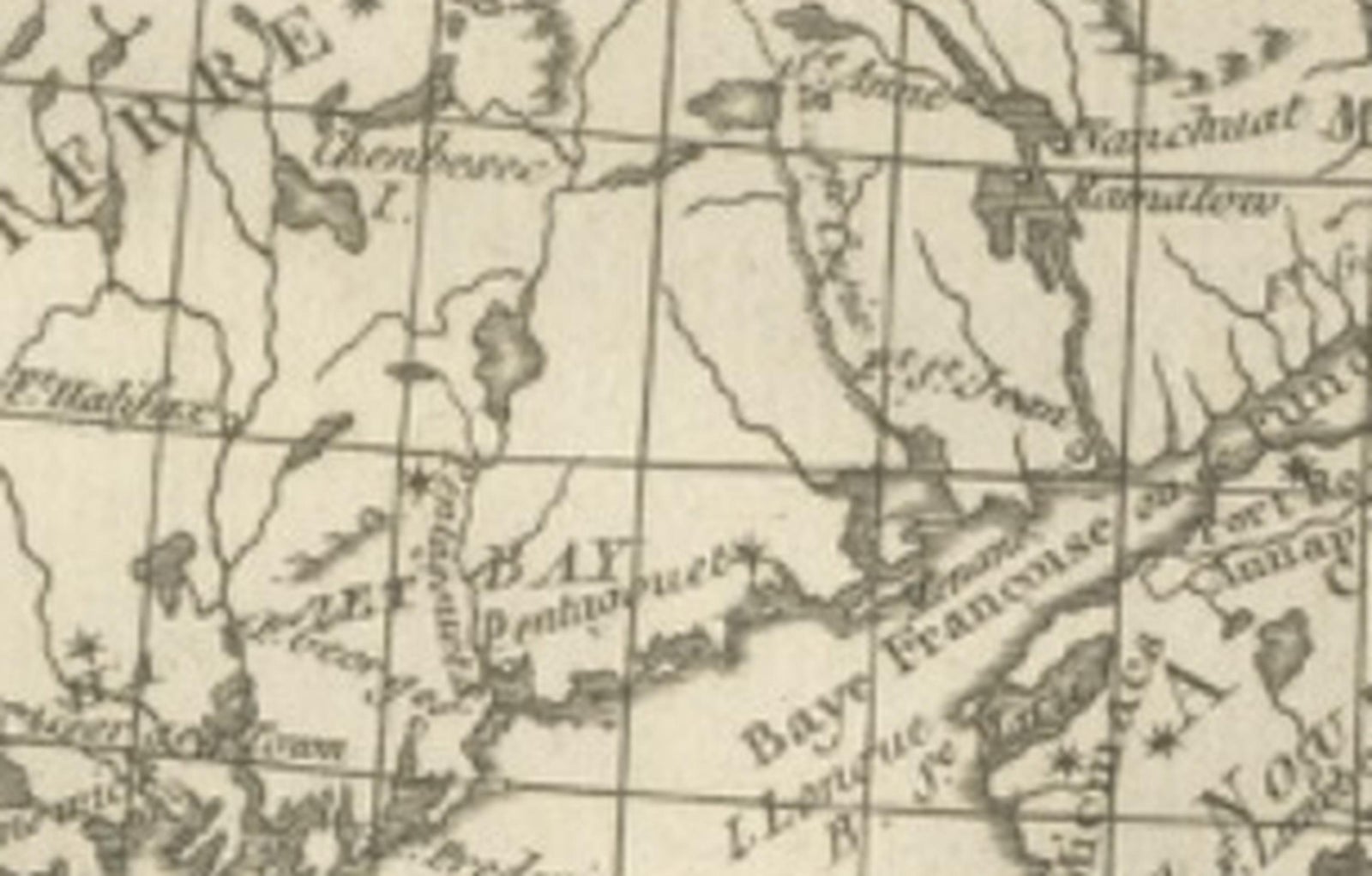
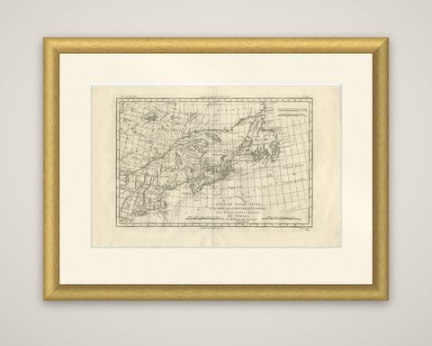
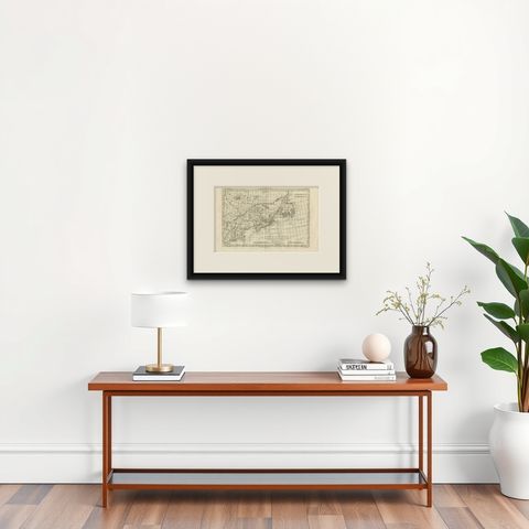
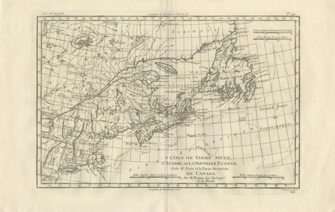
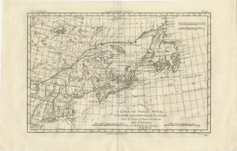
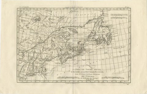
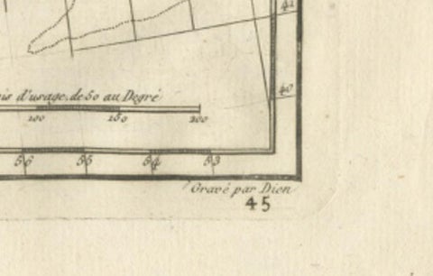
Newfoundland, Nova Scotia and the Gulf of St. Lawrence in a copper engraving by Rigobert Bonne, circa 1780, titled "L'Isle de Terre Neuve, l'Acadie, ou la Nouvelle Écosse, l'Isle St. Jean et la Partie Orientale du Canada," credited "Par M. Bonne, Ingénieur Hydrographe de la Marine." The sheet is printed in black without color.

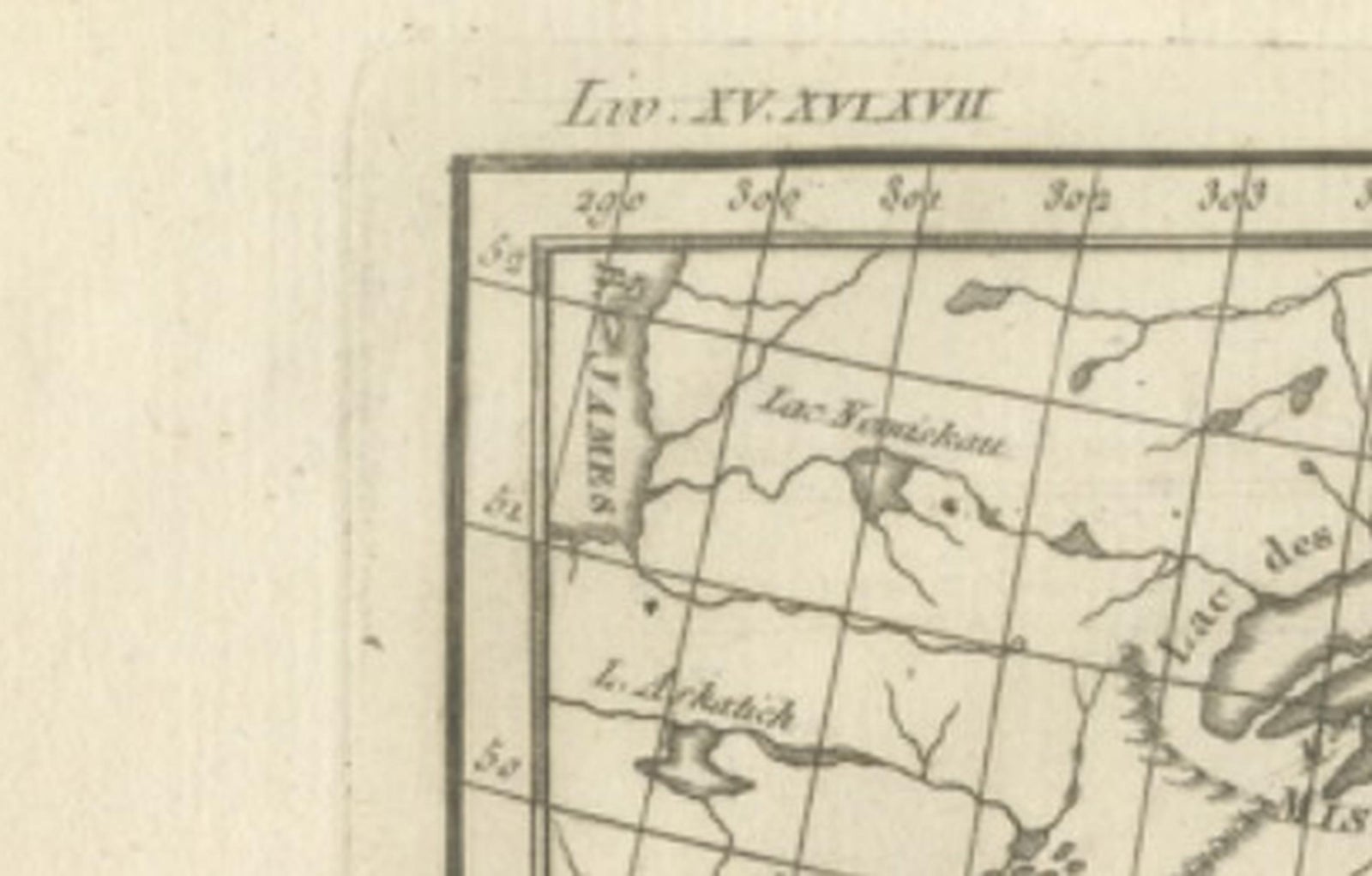
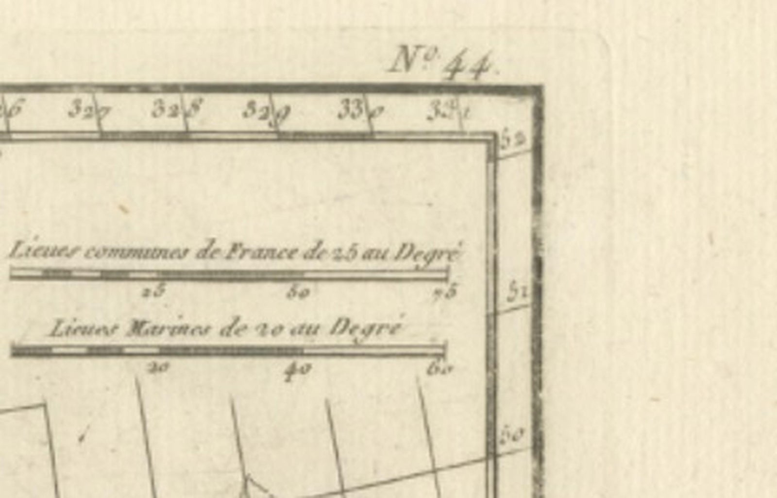
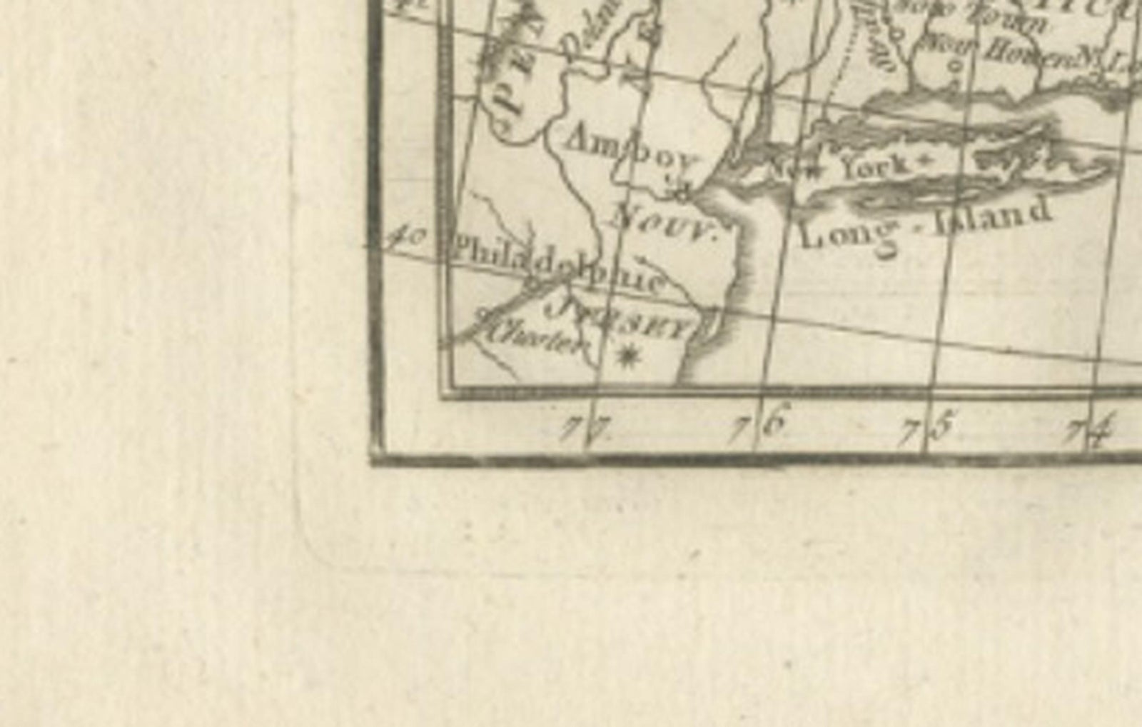
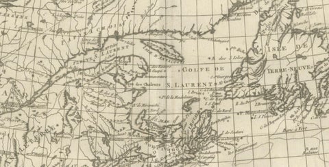
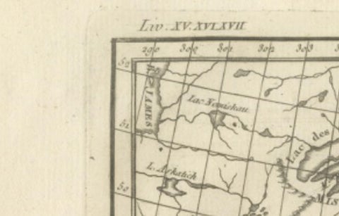
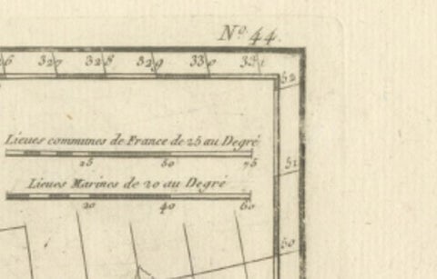
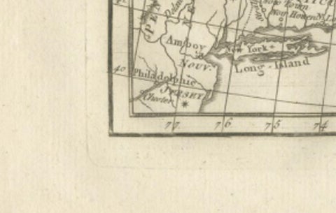
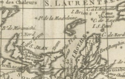
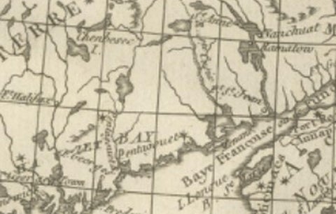
The gulf ("Golfe de St. Laurent") lies in the center, ringed by the Gaspé coast, Cape Breton, the island of St. Jean (Prince Edward Island) and Acadia, with the St. Lawrence River reaching in from the west. Newfoundland ("Terre Neuve") fills the upper right, with its heavily indented coast, and the "Grand Banc de Terre-Neuve" is lettered in the Atlantic to the southeast. "Esquimaux" is lettered across the northern coast of Labrador at the top. The lower left corner takes in the coast of New England and the Bay of Fundy, and two sets of scale bars at the upper right and lower center give French, English and marine leagues.

Bonne was hydrographer to the French navy at the Dépôt de la Marine in Paris, succeeding Jacques-Nicolas Bellin. The sheet covers the fishing grounds and coasts that France and Britain had contested for more than a century, and its detail is concentrated on the coastlines and harbors.

★

You might also like


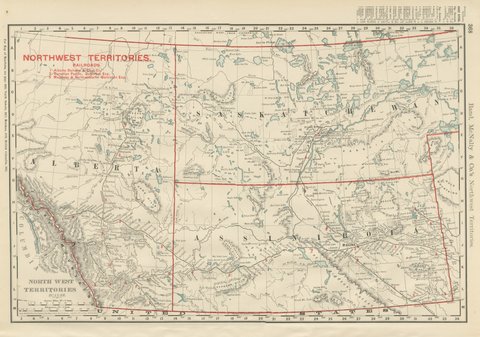
Antique Map of the North West Territories, Before Alberta and Saskatchewan, 1899
1899 · Rand McNally
$330
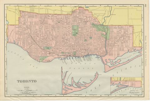
Antique Map of Toronto, with Queen's Park, Rand McNally, 1899
1899 · Rand McNally
$330
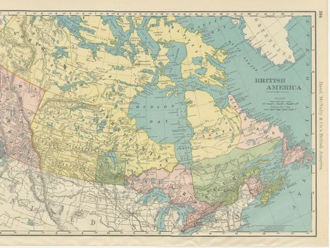
Antique Map of British America, with Hudson Bay, Rand McNally, 1899
1899 · Rand McNally
$440
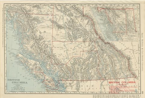
Antique Map of British Columbia, with Queen Charlotte Islands, 1899
1899 · Rand McNally
$385
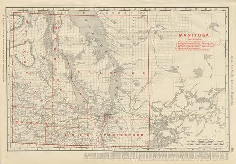
Antique Map of Manitoba, with Lake Winnipeg, Rand McNally, 1899
1899 · Rand McNally
$330
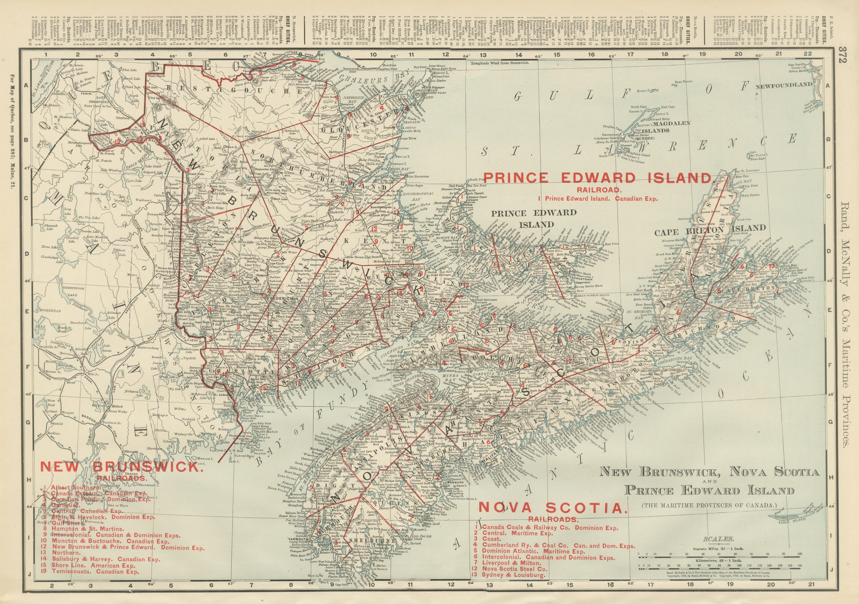
Antique Maritimes Map, New Brunswick, Nova Scotia and Prince Edward Island, 1899
1899 · Rand McNally
$330
Antique Map of Ontario, with Toronto and Ottawa Insets, Rand McNally, 1899
1899 · Rand McNally
$385
Antique Map of Quebec, with Gaspé Inset, Rand McNally, 1899
1899 · Rand McNally
$385

Ask about this print

We reply by email, usually within one working day.

Your favorites

Saved in this browser. Email the list to yourself to keep it on any device.

We use your email to send this list and, only if you tick the box and confirm, for occasional new arrivals. Every email has an unsubscribe link. Bartele Gallery, the Netherlands.

Your bag

Total

Each piece is bought on its own; shipping is added at checkout.