
A Bartele Gallery CollectionLangweer · Jakarta

American Maps & Prints
Original antique maps, charts & prints of the Americas ★ Originals only


Home › General Americana › South America
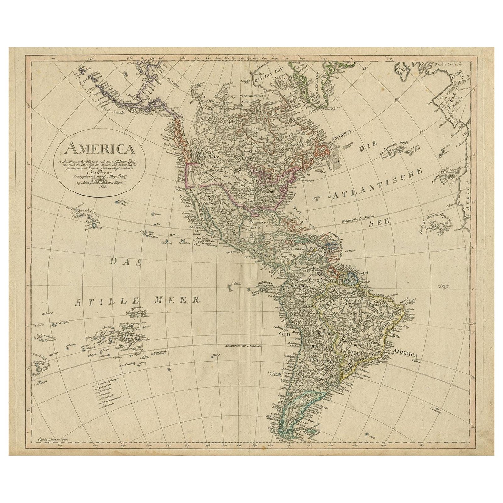
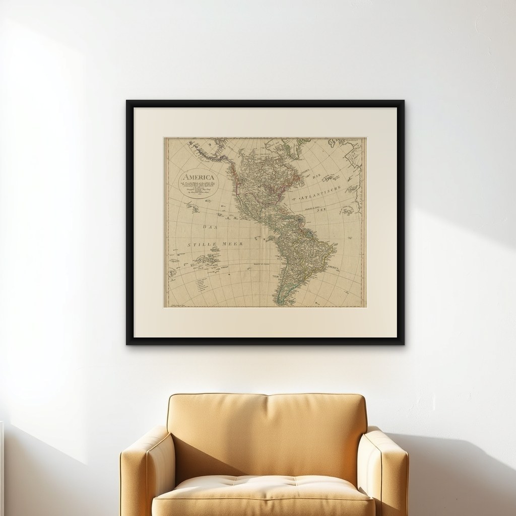
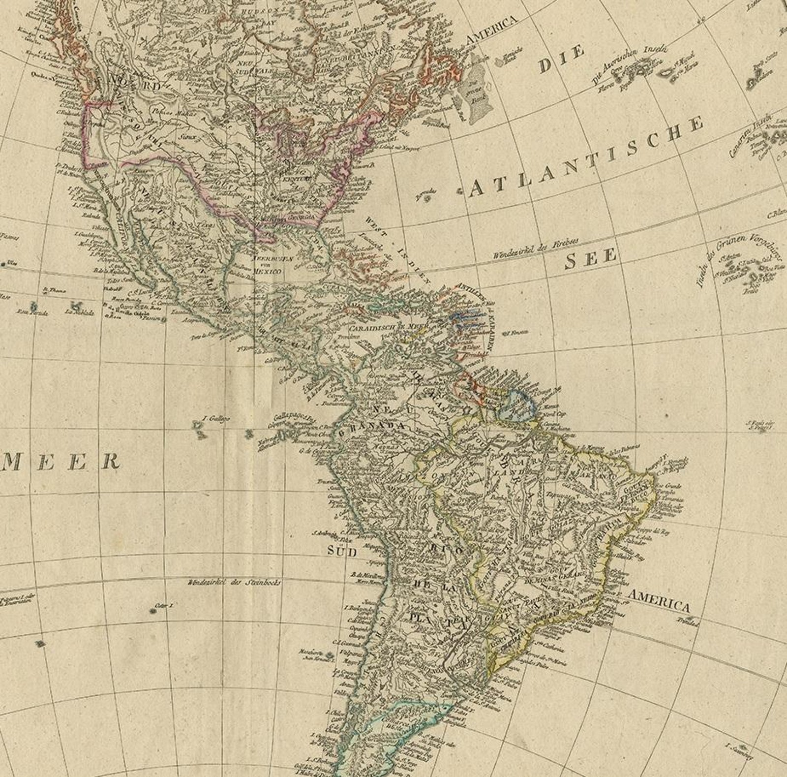
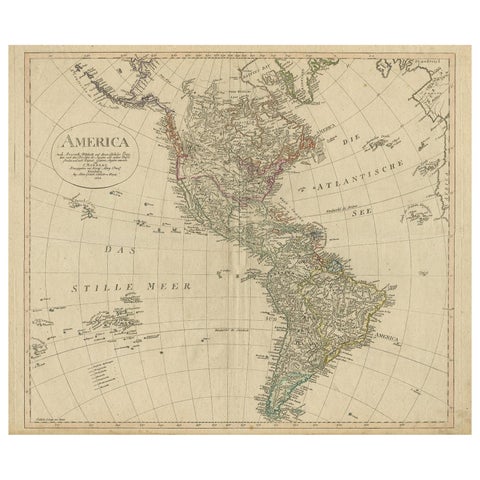
Antique Map of North and South America by Schneider and Weigel, 1818
1818 · Maps

Antique Map of North and South America by Schneider and Weigel, 1818

$1,680
€1,500 · dollar price at today's exchange rate

Buy now Ask a question

Shipping to the United States: $51 standard, $73 express, insured and tracked.

Date
1818
Maker
Arrowsmith
Kind
Maps
Technique
Engraved
Size
56.5 × 68 cm (22.2 × 26.8 in)
Condition
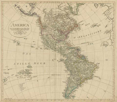
Good. Good, given age. Several small soft creases. Horizontal crease left to right. Bottom margin partly browned. Some small spots and soiling, mainly in the margins. Original middle fold. General age-related toning. Please study images carefully.
Period
The Early Republic
Places
South America
Reference
PCT-58026
What the condition grades mean
Excellent
Bright and clean, with no faults worth mentioning.
Very good
Only light signs of age, such as faint toning.
Good
Normal signs of age for a sheet of this period: toning, some foxing, small marks or neat old repairs.
Fair
Clear faults such as staining, tears or repairs, priced to match.

Every fault we see is written in the condition note, and the whole sheet is shown uncropped in the photos.

Guaranteed original. This is an original of the period stated, not a later reproduction or print-on-demand copy. If it is ever shown to be otherwise, we refund you in full.
Shipping to the United States. Sent from our gallery in Langweer, the Netherlands, flat between boards or rolled in a tube, and fully insured. Delivery and import charges.
About this piece

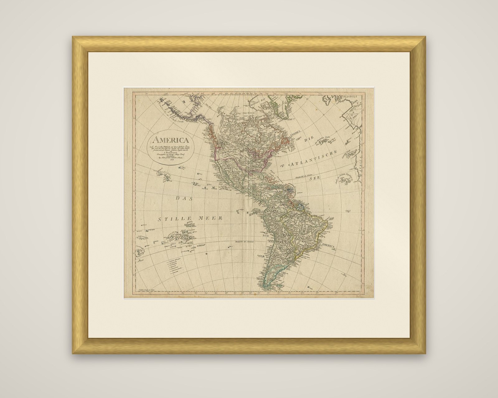
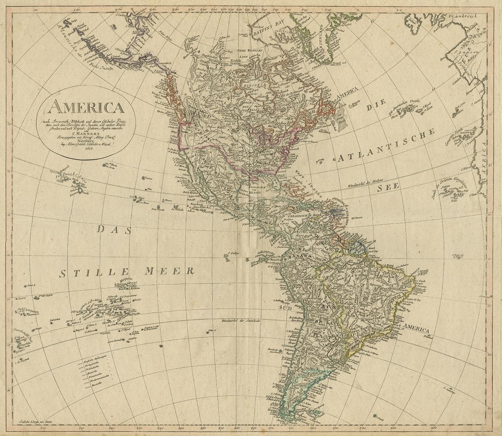
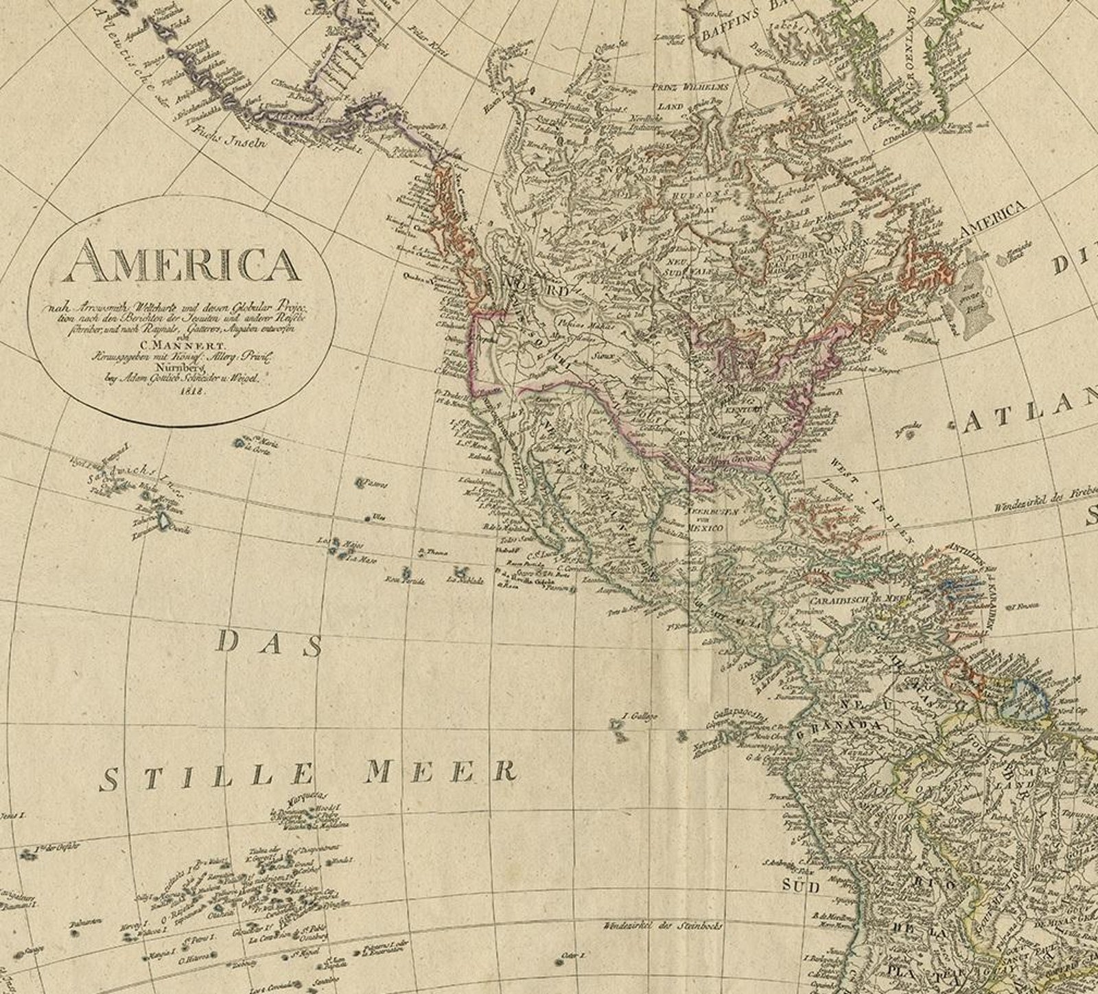
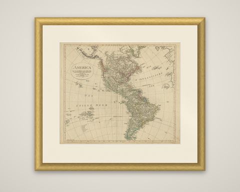
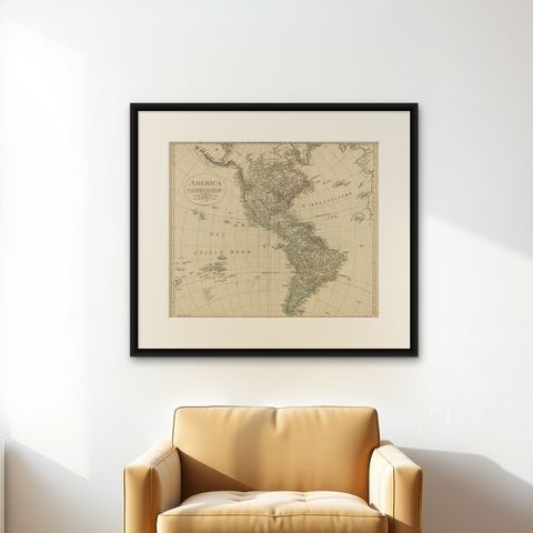
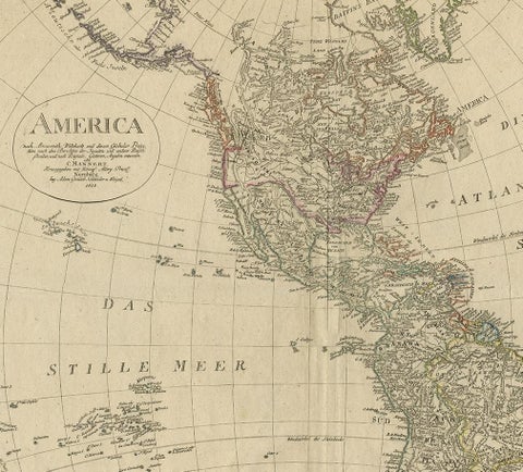
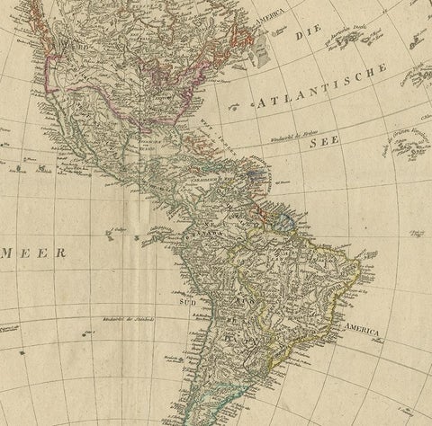
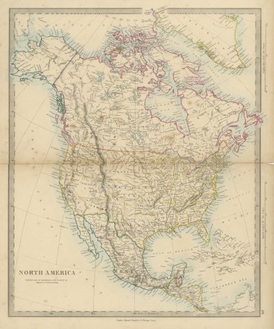
A map of the Americas, titled "America nach Arrowsmiths Weltcharte und dessen Globular Projection," redrawn by C. Mannert and published by Schneider and Weigel in 1818. The sheet is an engraved map with outline hand color.

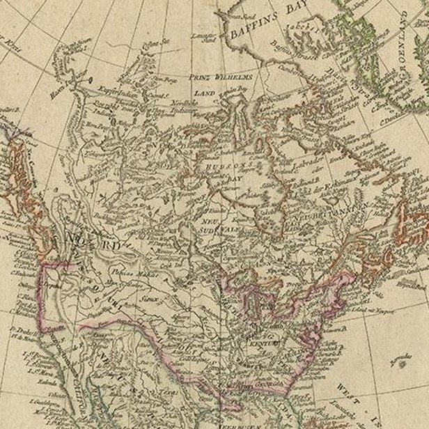
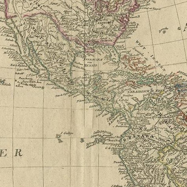
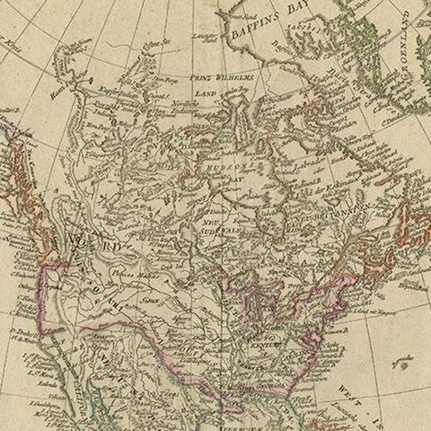
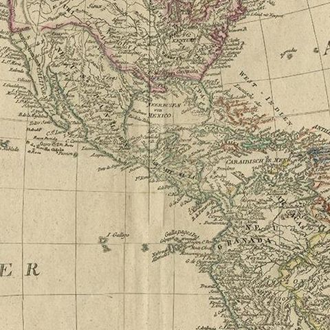
North and South America appear together on a globular projection, with the Atlantic lettered "Die Atlantische See" and the Pacific "Das Stille Meer." The United States, British possessions, Mexico and the Spanish colonies are outlined in different colors, and the Brazilian coast and the Plata are drawn in detail. Greenland and the Arctic coast are at the top, and the Pacific islands appear along the left edge. A title cartouche at the upper left reads that the map follows Arrowsmith's world chart and credits the redrawing to Mannert. Rivers, mountain chains and many coastal places are lettered, and the sheet is printed with a graticule of meridians and parallels.

The map shows the hemisphere shortly after the wars of independence began to reshape Spanish America, as a German publisher drew it from the English chart.

★

You might also like


Antique Map of the Western Hemisphere with Highest Mountains Table, 1858
1858
$225
Antique Map of North America with Russian America and West Georgia, 1858
1858
$245
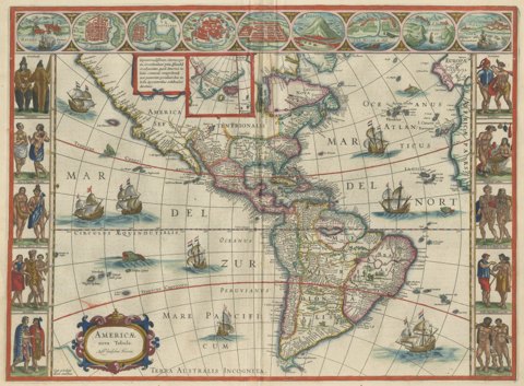
Antique Blaeu Map of America, Terra Australis Incognita, 1642
1642 · Blaeu
$10,635
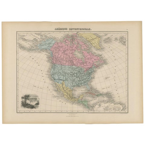
Antique Map of North and Central America by Migeon '1880'
1880
$170
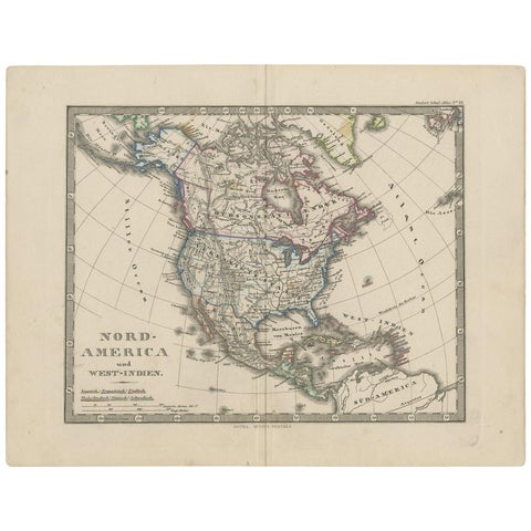
Antique Map of North America and the West Indies by Stieler, circa 1865
1865 · Stieler
$135
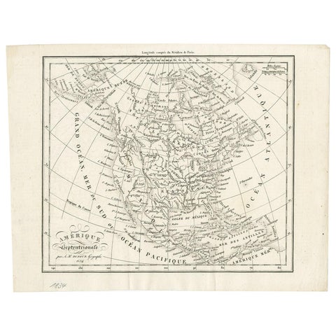
Antique Map of North America by Dufour 'circa 1834'
1834
$225
Antique Map of North America by Levasseur, 1875
1875
$430
Antique Map of the Americas and West Indies by Robert de Vaugondy, 1778
1778 · Robert de Vaugondy
$1,680

Ask about this print

We reply by email, usually within one working day.

Your favorites

Saved in this browser. Email the list to yourself to keep it on any device.

We use your email to send this list and, only if you tick the box and confirm, for occasional new arrivals. Every email has an unsubscribe link. Bartele Gallery, the Netherlands.

Your bag

Total

Each piece is bought on its own; shipping is added at checkout.