1642 · Maps
Antique Blaeu Map of America, Terra Australis Incognita, 1642
$10,635
€9,500 · dollar price at today's exchange rate
Buy now Ask a question
Shipping to the United States: $51 standard, $73 express, insured and tracked.
- Date
- 1642
- Maker
- Blaeu
- Kind
- Maps
- Technique
- Copper Engraving
- Color
- Later hand color
- Size
- 50 × 59 cm (19.7 × 23.2 in)
- Condition
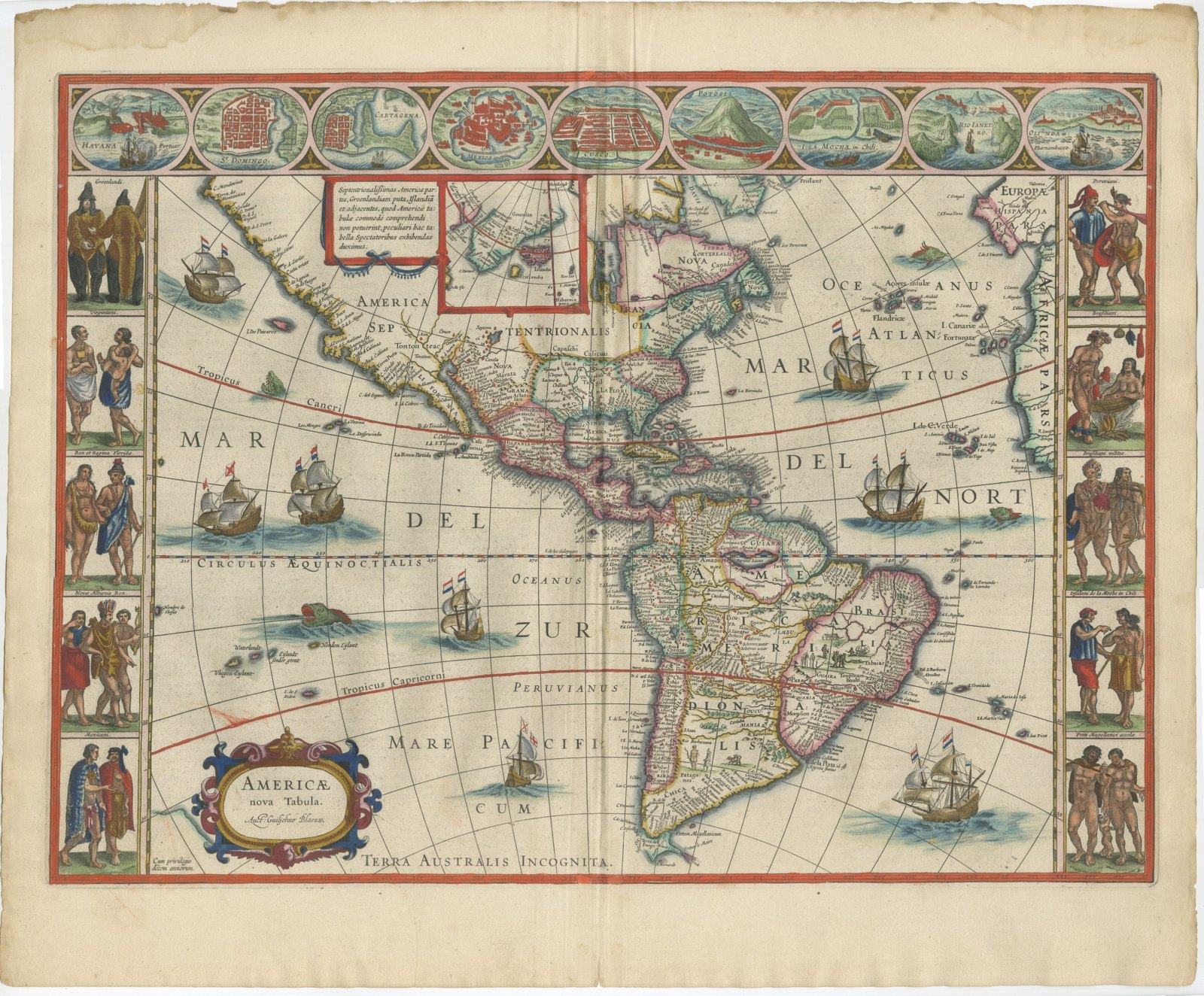
- Good. Good condition for its age. Faint tide line, soiling and a chipped, frayed edge to the upper margin; small spot lower left. All clear of the image. Centre fold as issued. Please review the images for further condition details.
- Period
- Colonial America
- Reference
- HP-079
What the condition grades mean
- Excellent
- Bright and clean, with no faults worth mentioning.
- Very good
- Only light signs of age, such as faint toning.
- Good
- Normal signs of age for a sheet of this period: toning, some foxing, small marks or neat old repairs.
- Fair
- Clear faults such as staining, tears or repairs, priced to match.
Every fault we see is written in the condition note, and the whole sheet is shown uncropped in the photos.
Guaranteed original. This is an original of the period stated, not a later reproduction or print-on-demand copy. If it is ever shown to be otherwise, we refund you in full.
Shipping to the United States. Sent from our gallery in Langweer, the Netherlands, flat between boards or rolled in a tube, and fully insured.
Delivery and import charges.
About this piece
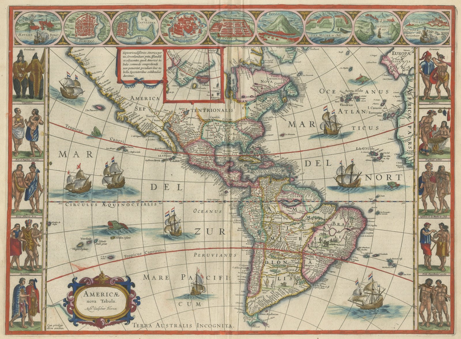
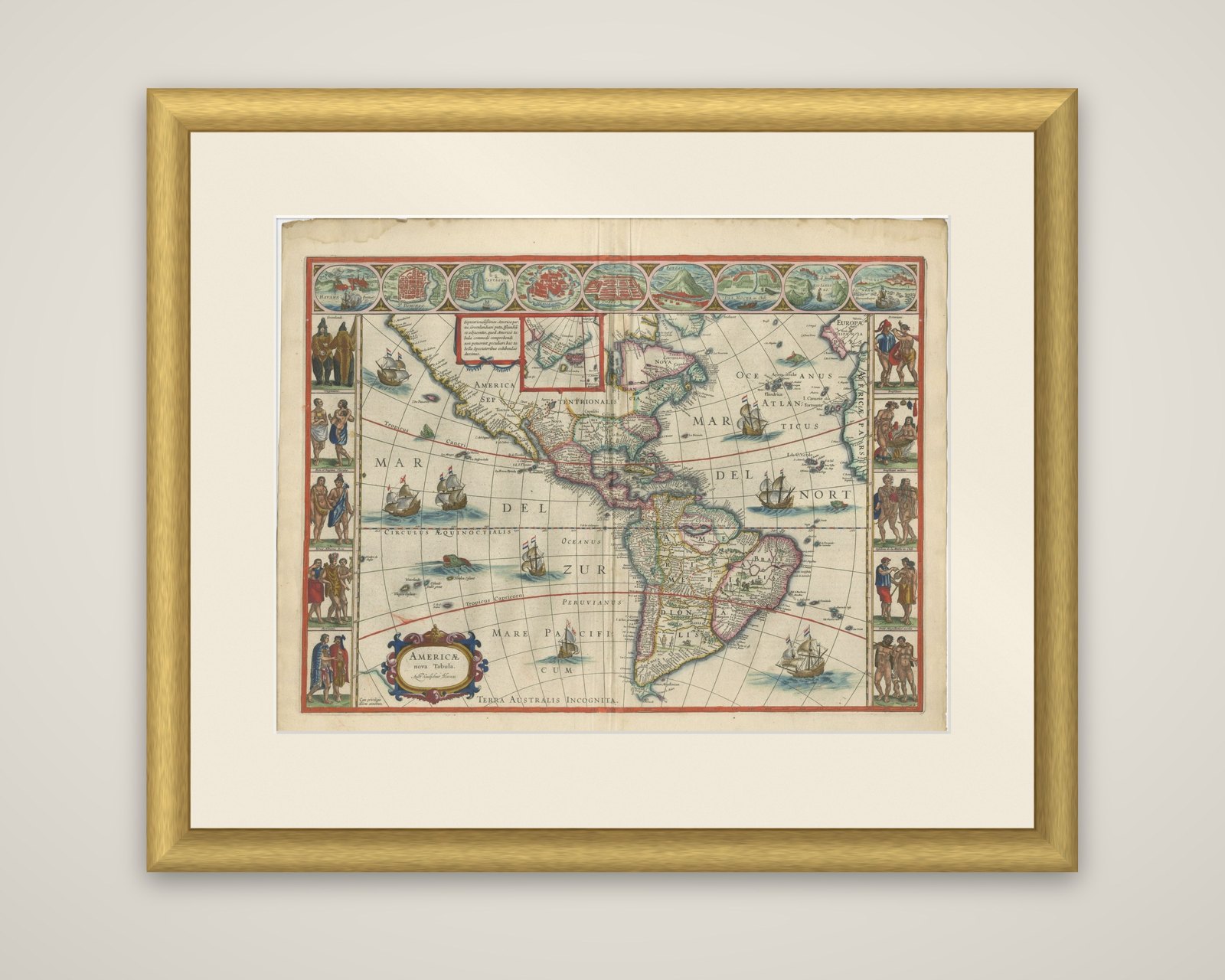
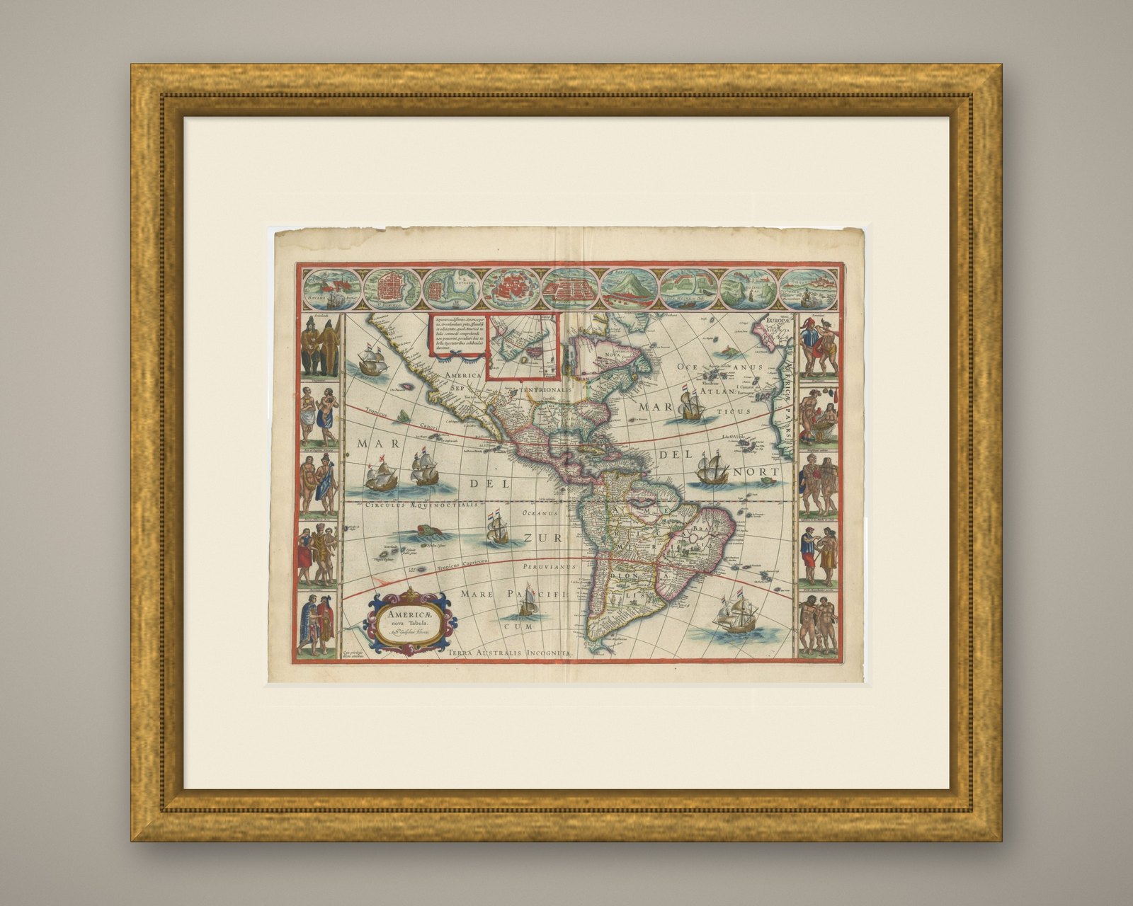
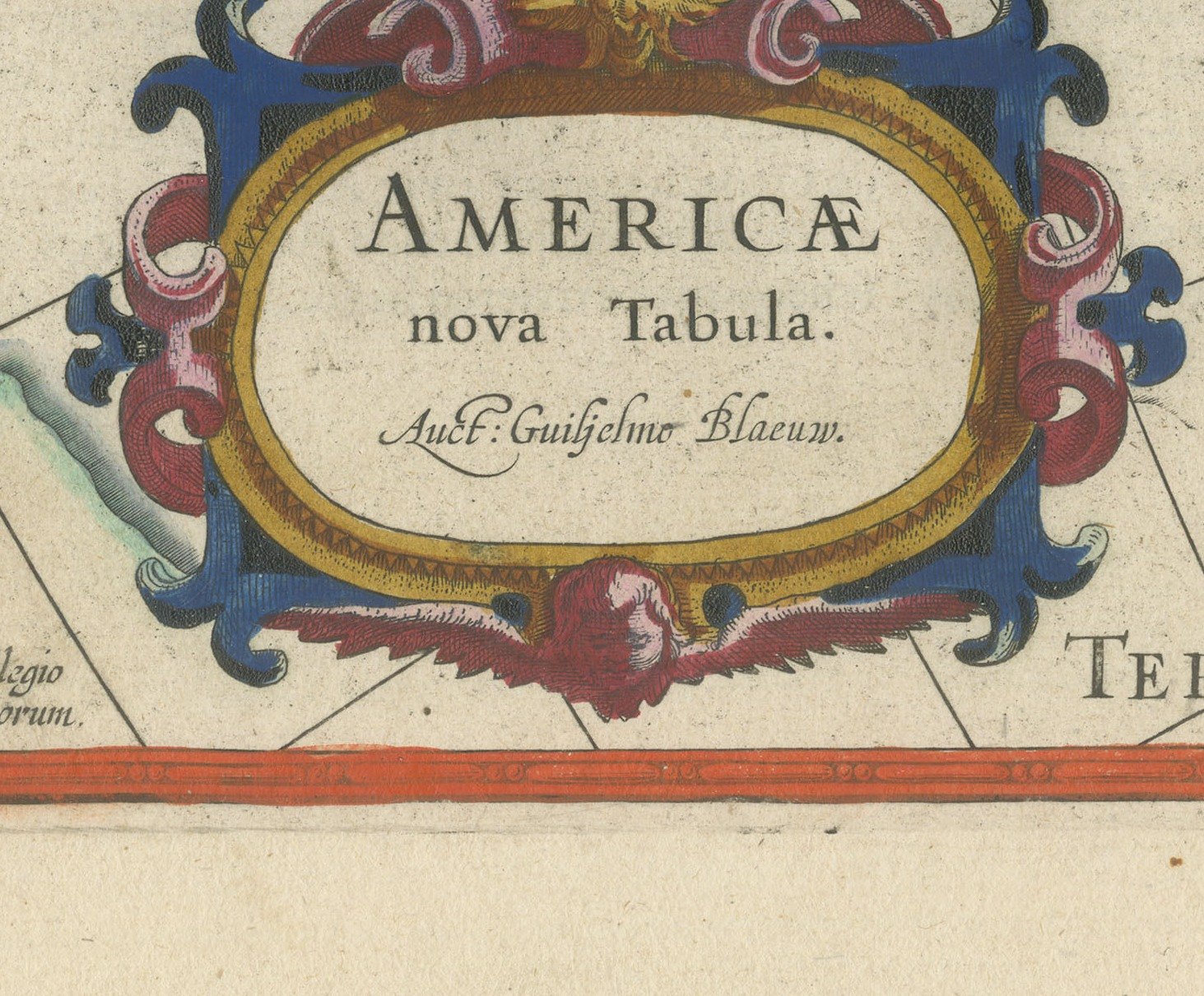
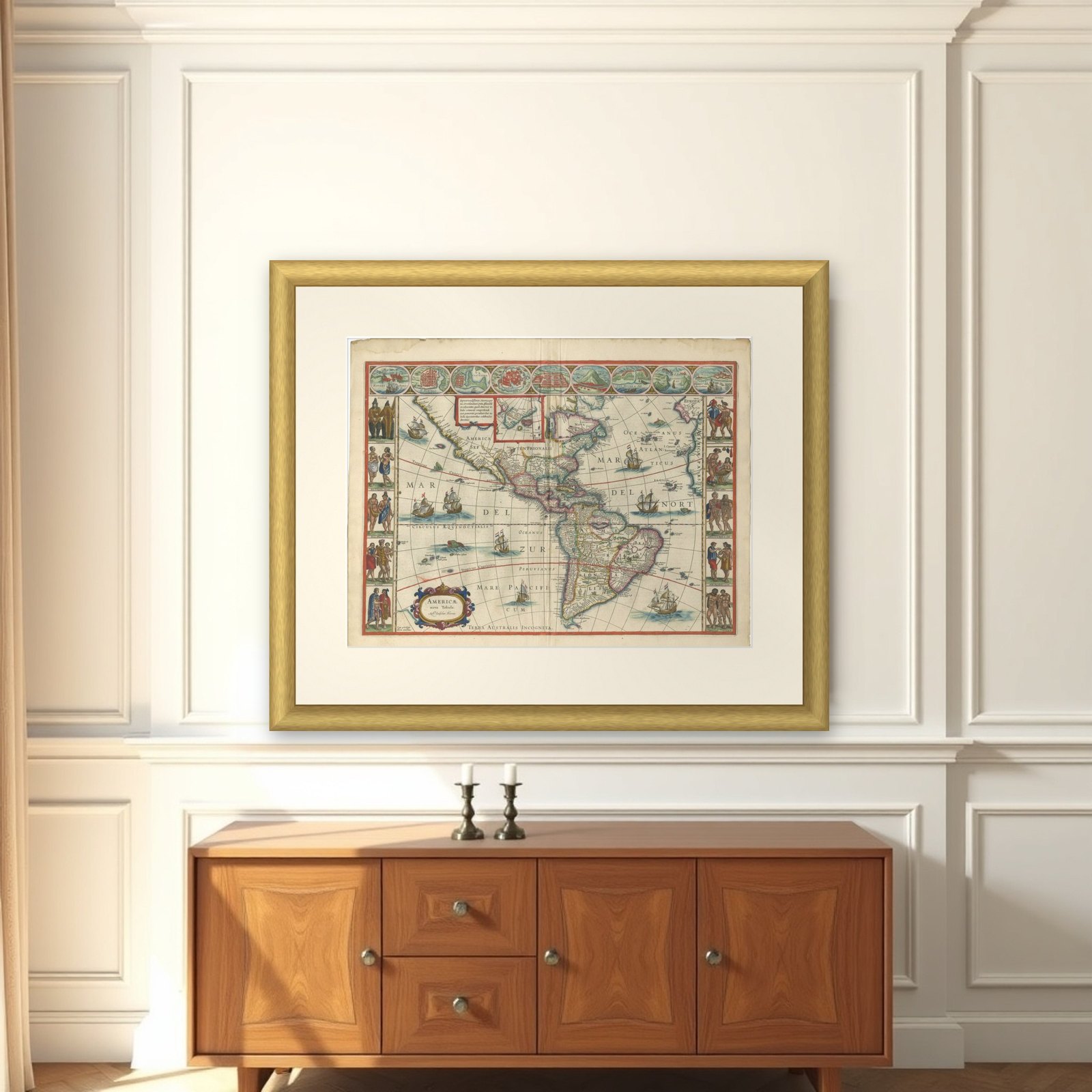
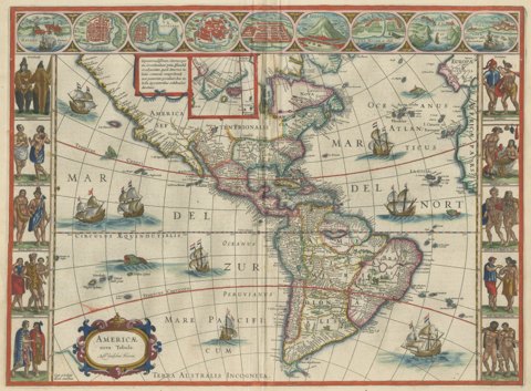
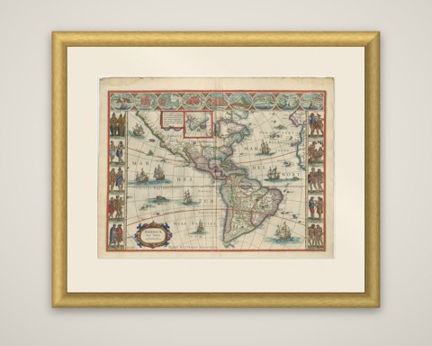
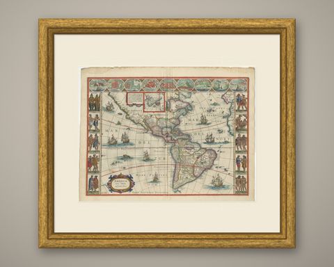
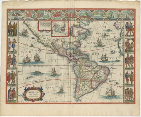
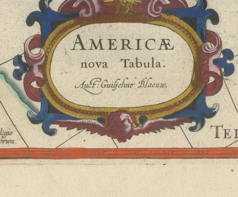
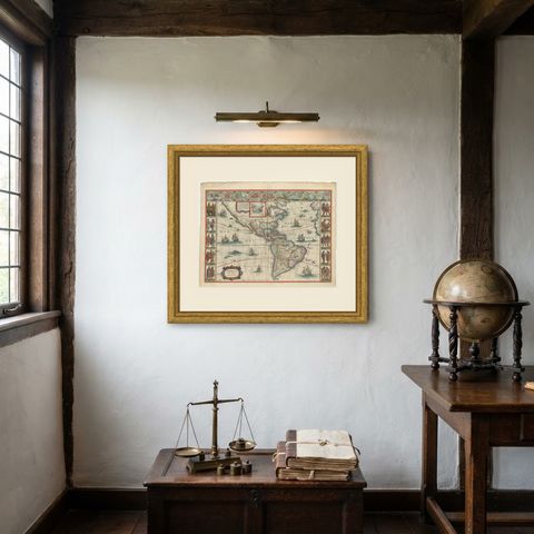
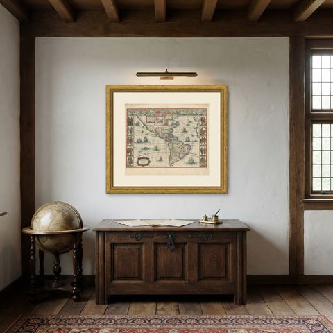
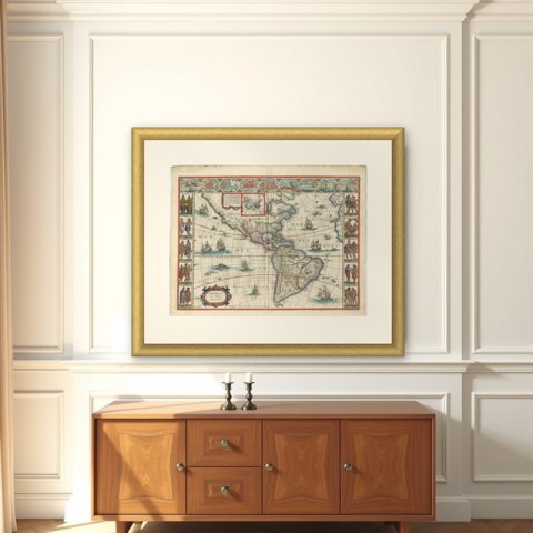
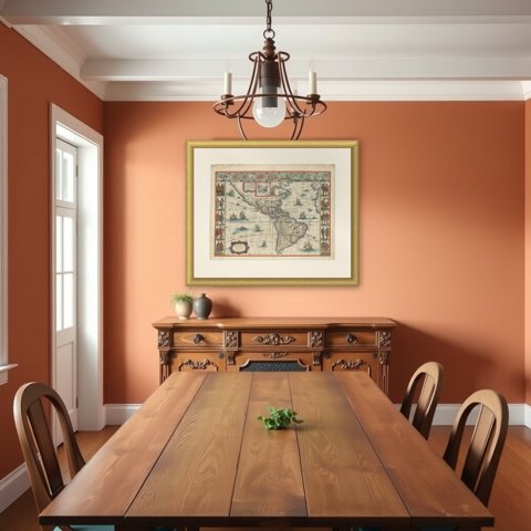
The Americas on Blaeu's map "Americae nova Tabula," an original copper engraving with later hand color, from the house of Blaeu in Amsterdam, dated 1642. The title cartouche at lower left credits Willem Blaeu ("Auct. Guiljelmo Blaeuw"). The Blaeu workshop, carried on by Joan Blaeu, was the greatest cartographic publisher of the Dutch golden age.
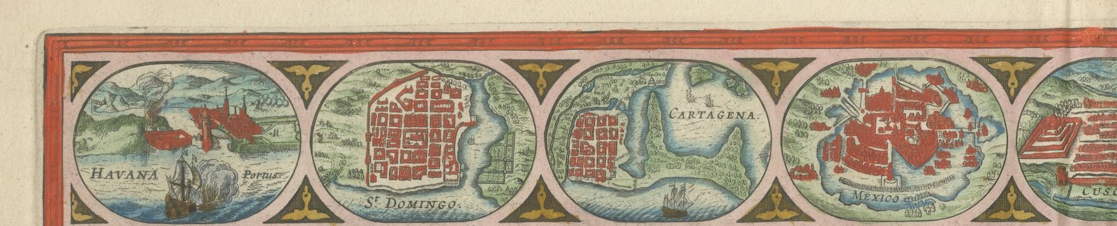
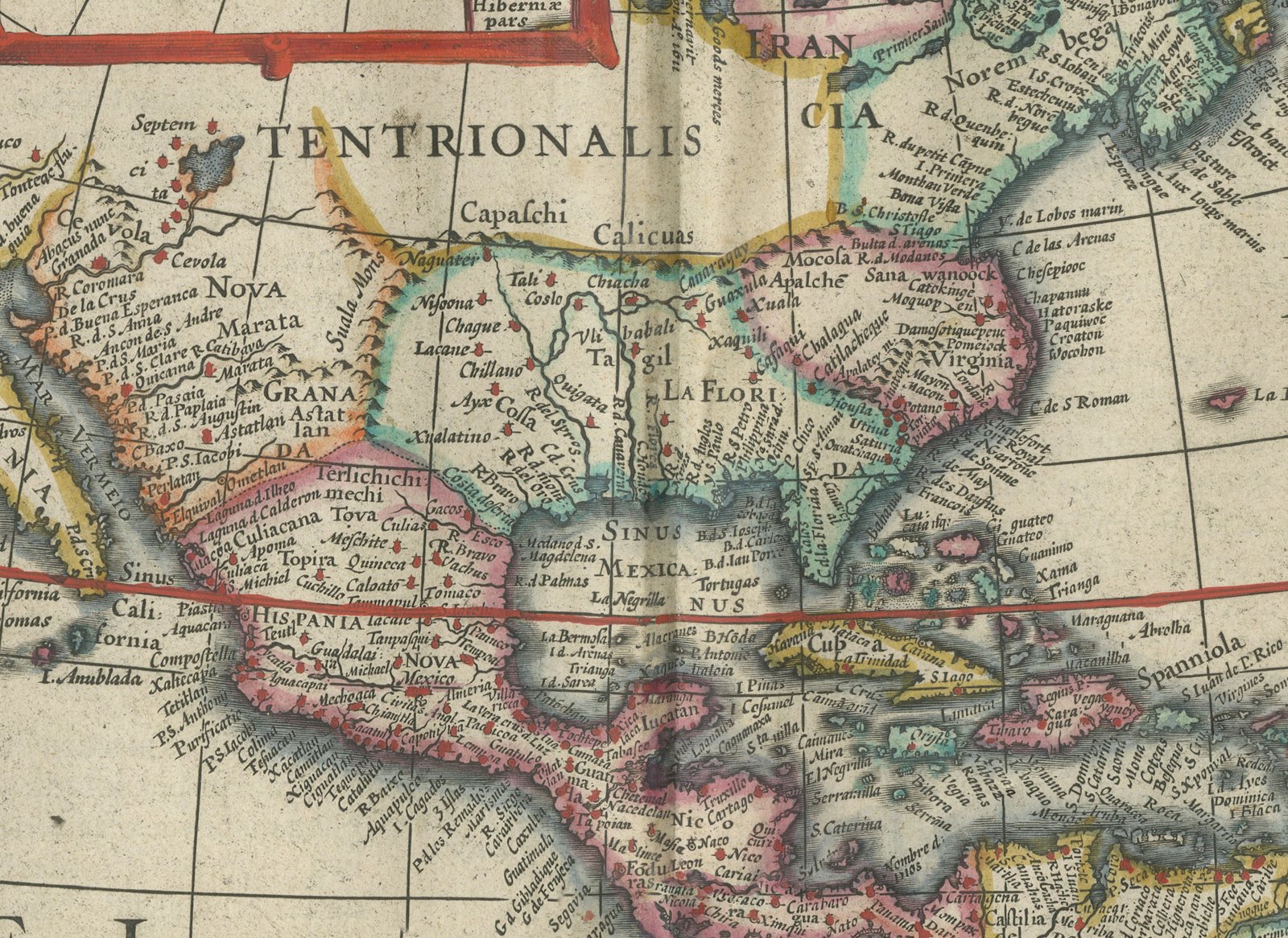
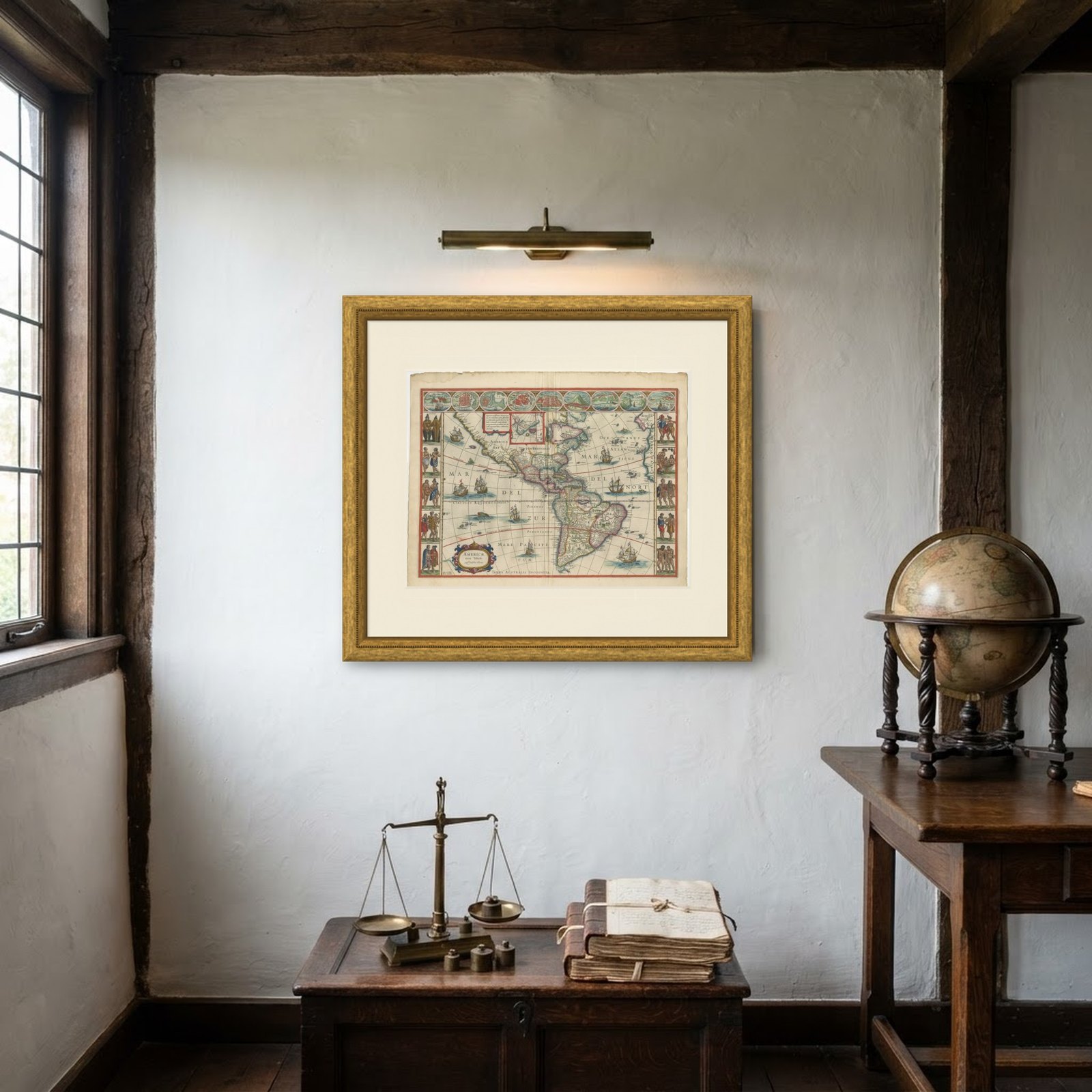
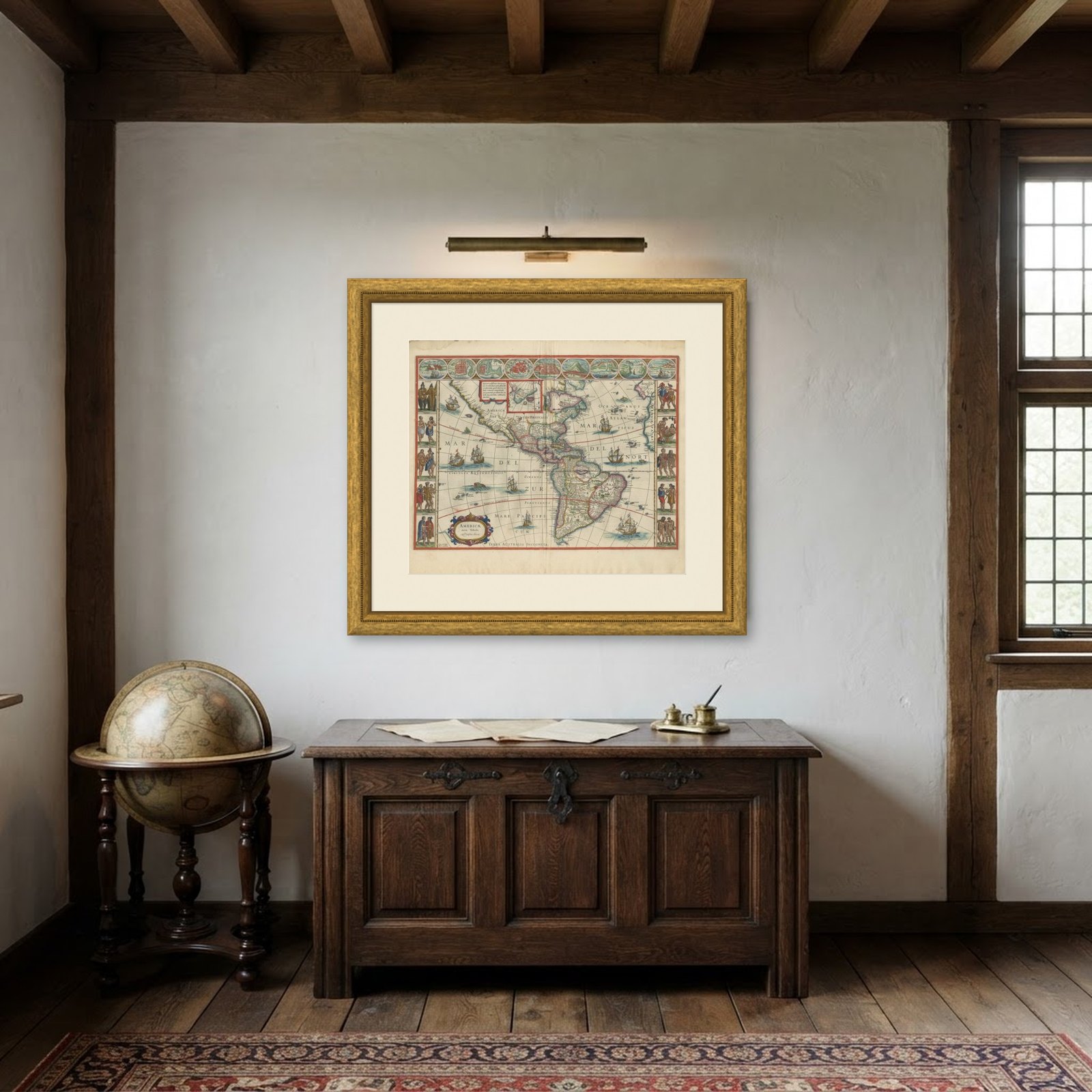
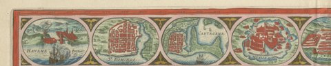
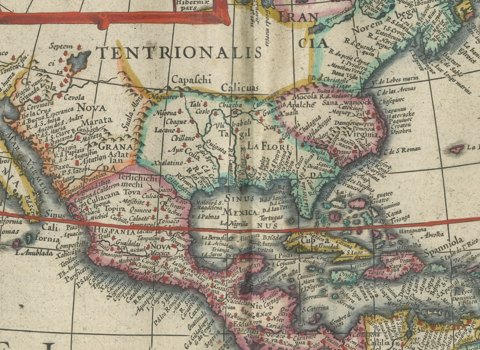
North and South America are shown in full, from the Corterealis lands in the far north to the Strait of Magellan, between the Mar del Zur and the Mare Pacificum on one side and the Mar del Nort and the Oceanus Atlanticus on the other. Havana, Santo Domingo and Cartagena are named in the Caribbean, and Terra Australis Incognita, the unknown southern continent, runs along the bottom edge. California, the Great Lakes region and the interior of North America are drawn as the geography of the day imagined them. Sailing ships and compass lines cross the oceans.
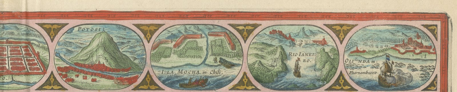
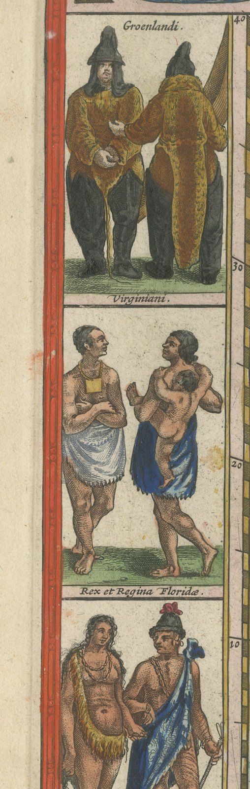
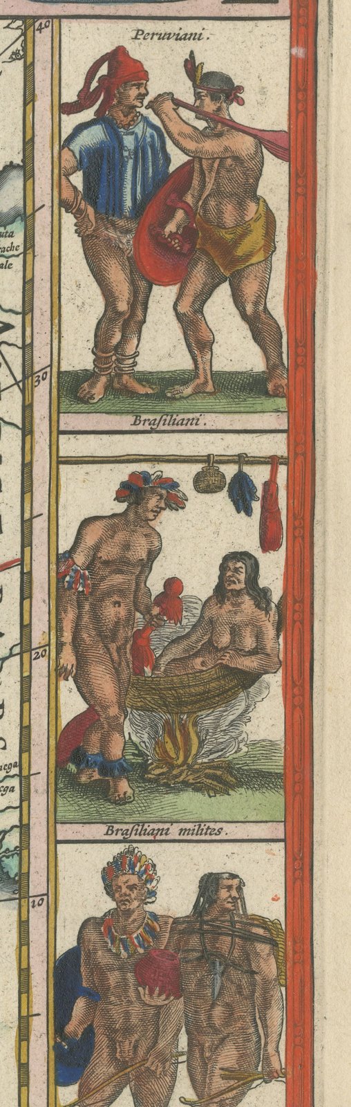
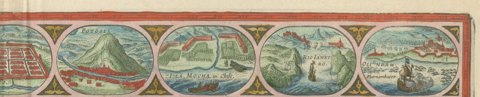
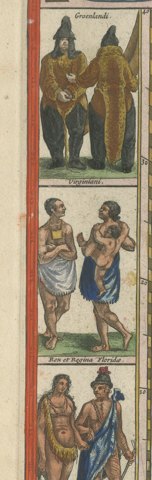
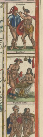
The decorative border is a feature in itself: a row of nine town views and harbors across the top, and five pairs of costume figures down each side, with a small text panel and inset map at the upper center. The copper plates were printed on heavy laid paper, and the color is applied by hand.
Maps of this kind, framed by figures and town views, are known to collectors as cartes à figures. Blaeu's map of America was first engraved around 1617 and stayed in the family's atlases for decades, so it records how Europeans pictured the New World in the first half of the seventeenth century. It remains one of the most sought-after decorative maps of the Americas from the period.