1836 · Maps
Antique Map of Peru and Bolivia, 1836
$380
€340 · dollar price at today's exchange rate
Buy now Ask a question
Shipping to the United States: $51 standard, $73 express, insured and tracked.
- Date
- 1836
- Kind
- Maps
- Size
- 29.5 × 42.5 cm (11.6 × 16.7 in)
- Condition
- Good
- Period
- The Early Republic
- Places
- Peru
- Reference
- BG-09464
What the condition grades mean
- Excellent
- Bright and clean, with no faults worth mentioning.
- Very good
- Only light signs of age, such as faint toning.
- Good
- Normal signs of age for a sheet of this period: toning, some foxing, small marks or neat old repairs.
- Fair
- Clear faults such as staining, tears or repairs, priced to match.
Every fault we see is written in the condition note, and the whole sheet is shown uncropped in the photos.
Guaranteed original. This is an original of the period stated, not a later reproduction or print-on-demand copy. If it is ever shown to be otherwise, we refund you in full.
Shipping to the United States. Sent from our gallery in Langweer, the Netherlands, flat between boards or rolled in a tube, and fully insured.
Delivery and import charges.
About this piece
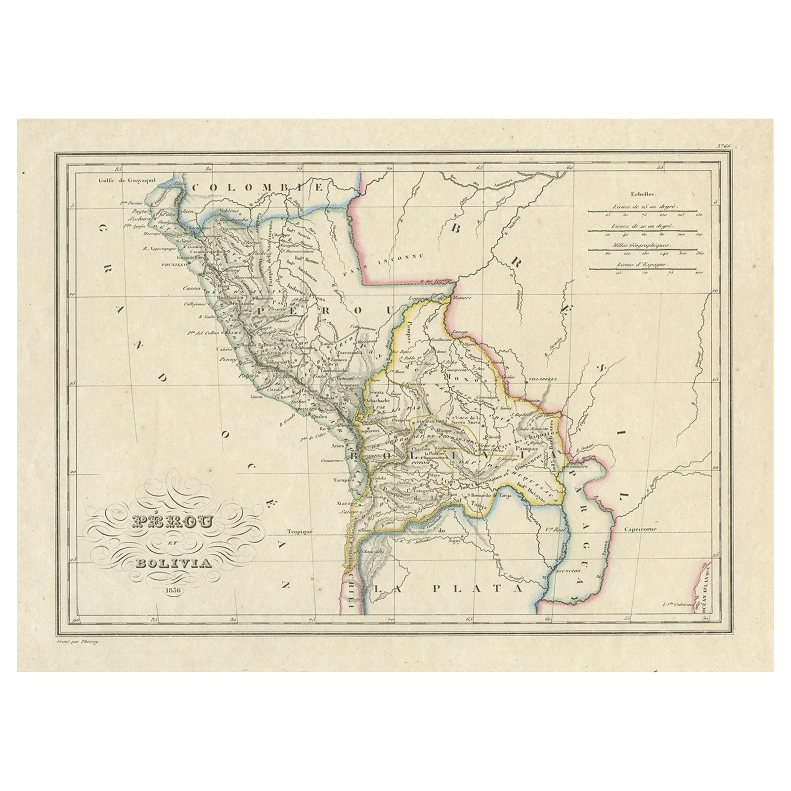
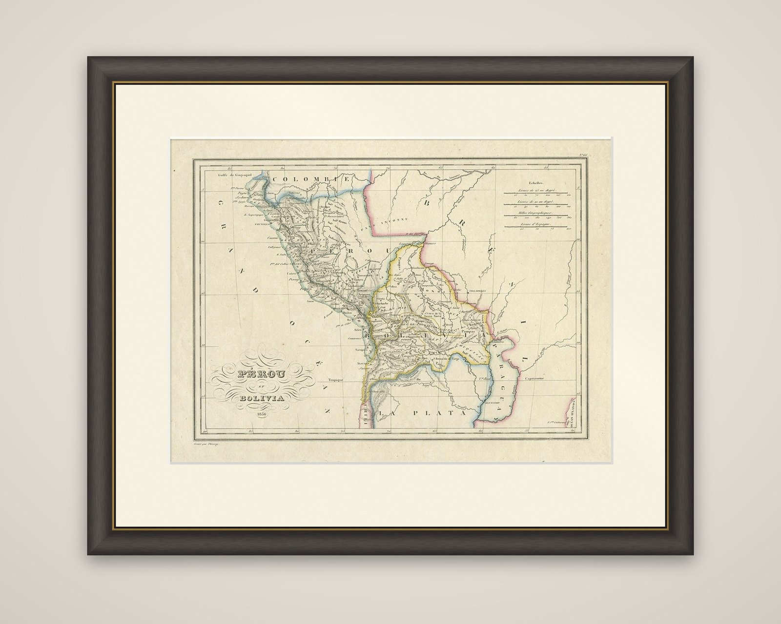
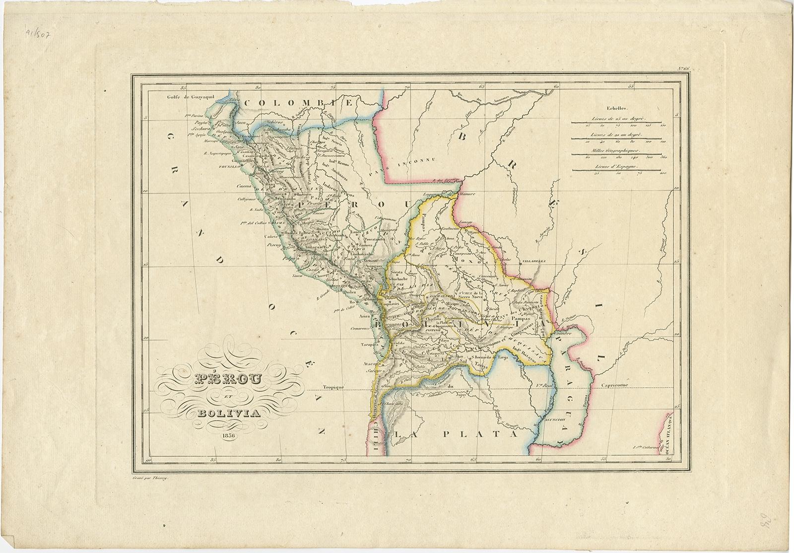
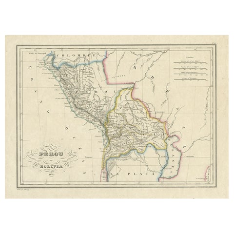
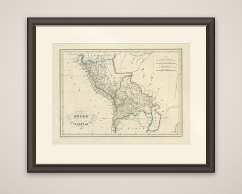
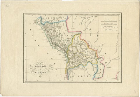
Pérou et Bolivia, an original antique map engraved by Thierry in 1836 for the Atlas Complet du Précis de la Géographie Universelle of Conrad Malte-Brun. The sheet carries colored outlines, and the title is lettered in a calligraphic cartouche of looping flourishes at the lower left, with the date 1836 beneath.
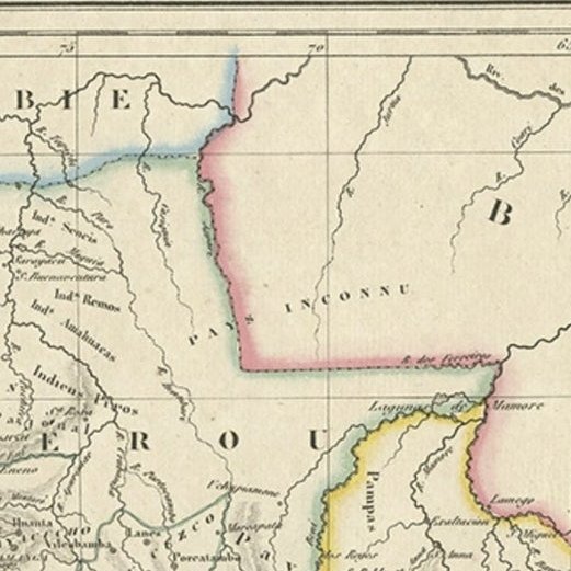
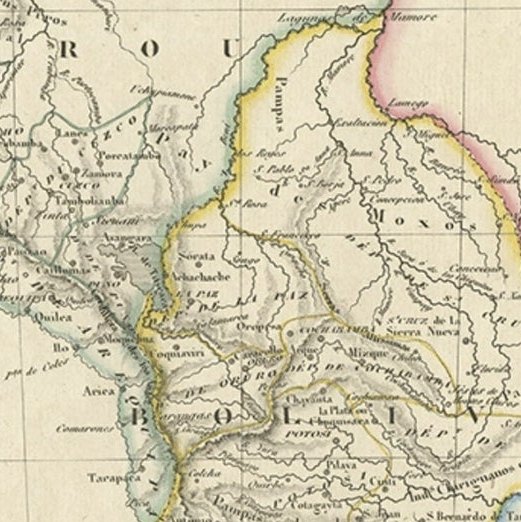
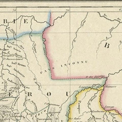
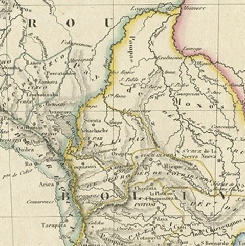
The map covers the Peru and Bolivia of the 1830s, bounded by the Pacific, "Grand Océan," on the west, with Colombia at the top, Brazil to the northeast and the Paraguay river and La Plata at the south and east. Rivers feed down from the Andes, with the Amazon basin at the top and Lake Titicaca on the border, and mountain ranges are drawn in fine hachures. Towns, missions and provinces are lettered in small italics, and colored lines mark the national frontiers. Four scales in leagues and geographic miles are boxed at the upper right.
Bolivia had been created as a republic in 1825, after the wars of independence broke the Spanish colonial hold, and its borders on this sheet were still unsettled. The atlas was the French companion to Malte-Brun's geography, issued in the 1830s.