1780 · Maps
Antique Map of South America Depicting Guayana, c.1780
$390
€350 · dollar price at today's exchange rate
Buy now Ask a question
Shipping to the United States: $51 standard, $73 express, insured and tracked.
- Date
- 1780
- Maker
- Rigobert Bonne
- Kind
- Maps
- Size
- 37.5 × 24.5 cm (14.8 × 9.6 in)
- Condition
- Good
- Period
- The Early Republic
- Places
- South America
- Reference
- BG-00510
What the condition grades mean
- Excellent
- Bright and clean, with no faults worth mentioning.
- Very good
- Only light signs of age, such as faint toning.
- Good
- Normal signs of age for a sheet of this period: toning, some foxing, small marks or neat old repairs.
- Fair
- Clear faults such as staining, tears or repairs, priced to match.
Every fault we see is written in the condition note, and the whole sheet is shown uncropped in the photos.
Guaranteed original. This is an original of the period stated, not a later reproduction or print-on-demand copy. If it is ever shown to be otherwise, we refund you in full.
Shipping to the United States. Sent from our gallery in Langweer, the Netherlands, flat between boards or rolled in a tube, and fully insured.
Delivery and import charges.
About this piece
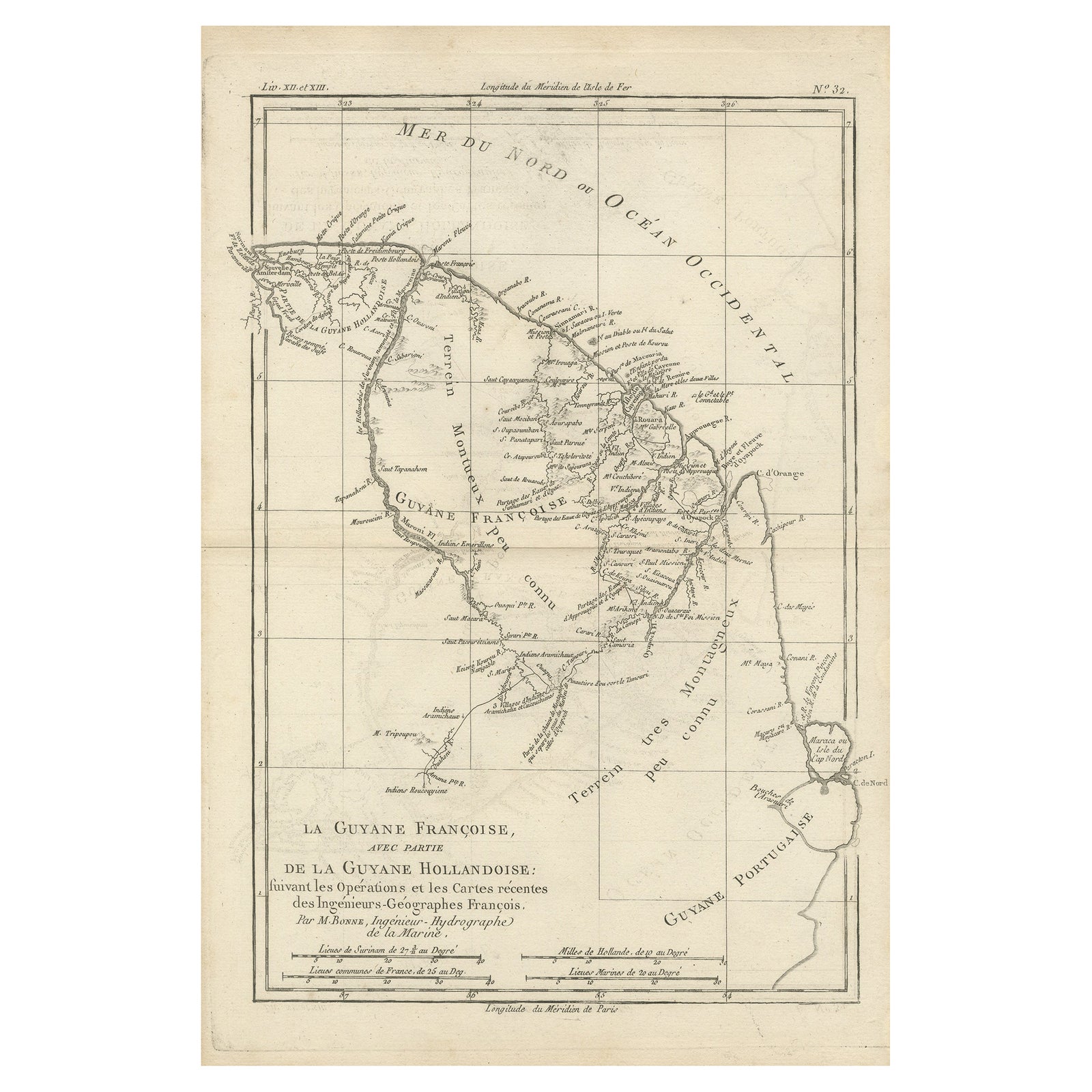
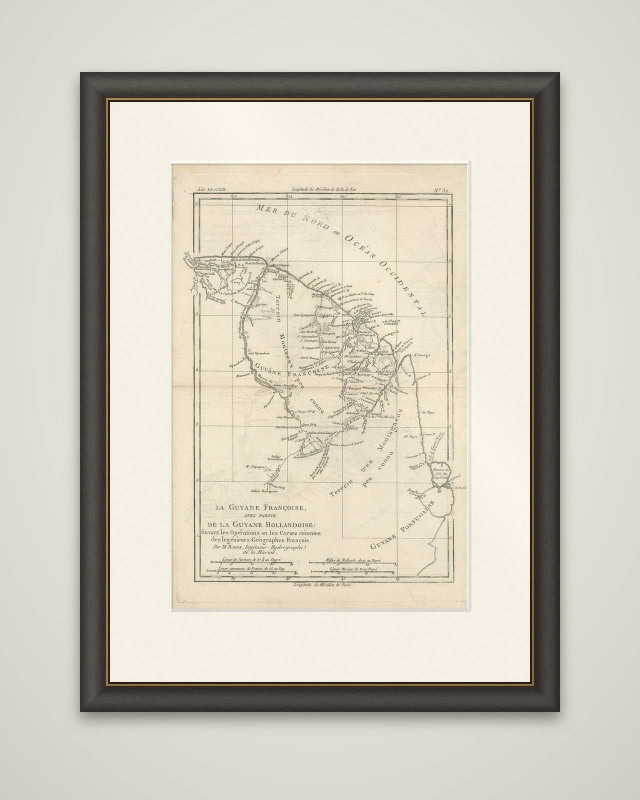
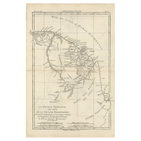
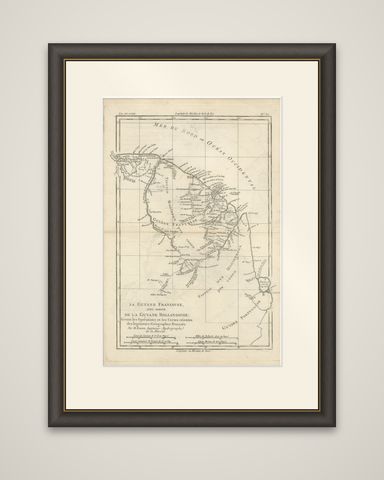
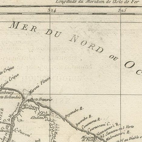
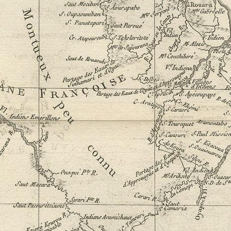
French Guiana with a part of Dutch Guiana, an original copper engraving by Rigobert Bonne from Guillaume Raynal's Atlas de Toutes les Parties Connues du Globe Terrestre, dating from about 1780. The title reads "La Guyane Françoise, avec partie de la Guyane Hollandoise: suivant les Opérations et les Cartes récentes des Ingénieurs-Géographes François, par M. Bonne, Ingénieur Hydrographe de la Marine."
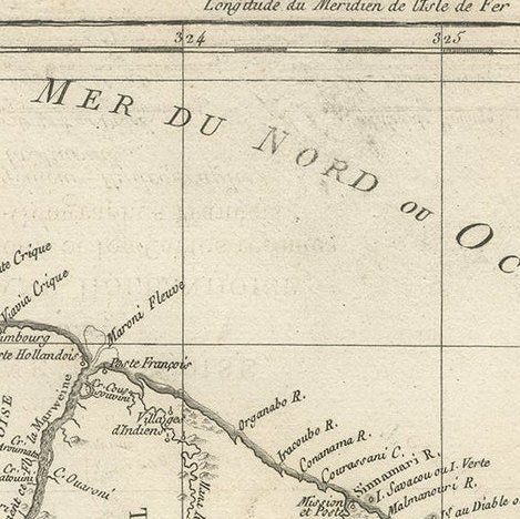
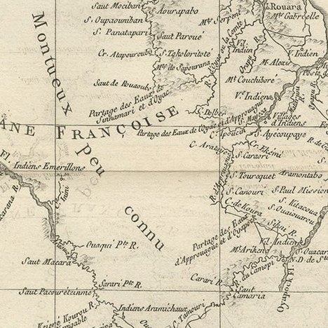
The map covers the coast from the Suriname river region in the west to the Cape Nord country in the east, where the Amazon delta begins. The Atlantic is lettered "Mer du Nord ou Océan Occidental." Rivers wind inland from the coast, with settlements and plantation names set along their banks, and the island of Cayenne appears at the center with the mouth of the Oyapock to its east. The interior is marked "Terrein Montueux" and "Terrein peu connu," a plain statement of how little was known inland, and the Portuguese Guiana lies at the lower right. Four scales at the foot give Suriname leagues, Dutch miles, common French leagues and marine leagues.
Bonne was hydrographer at the French Dépôt de la Marine, and this map carries his sober, practical style with no cartouche or hand coloring.