1898 · Maps
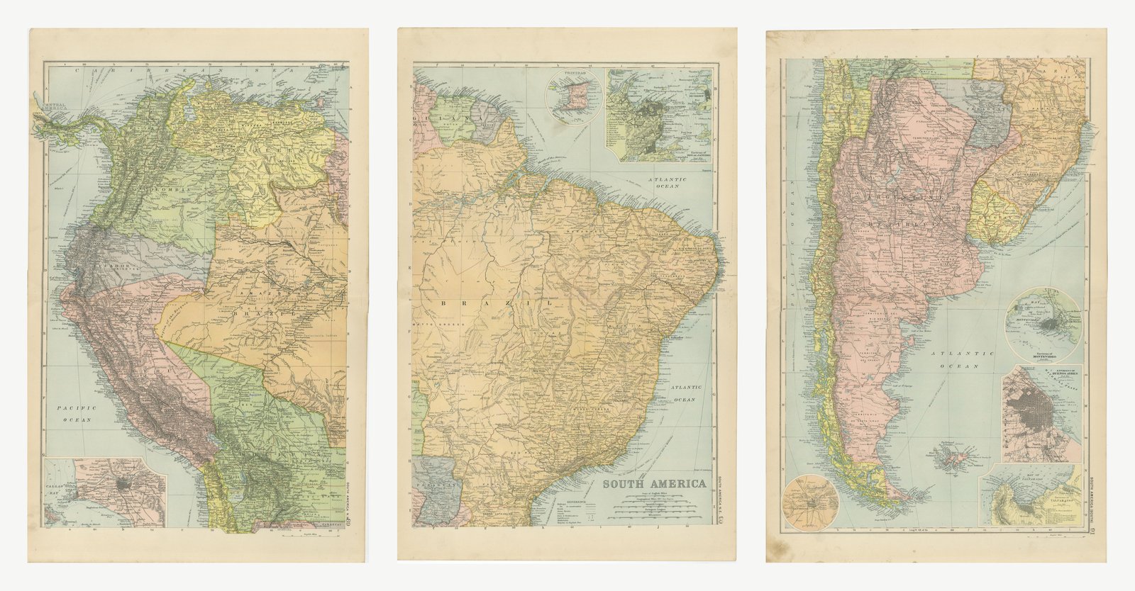
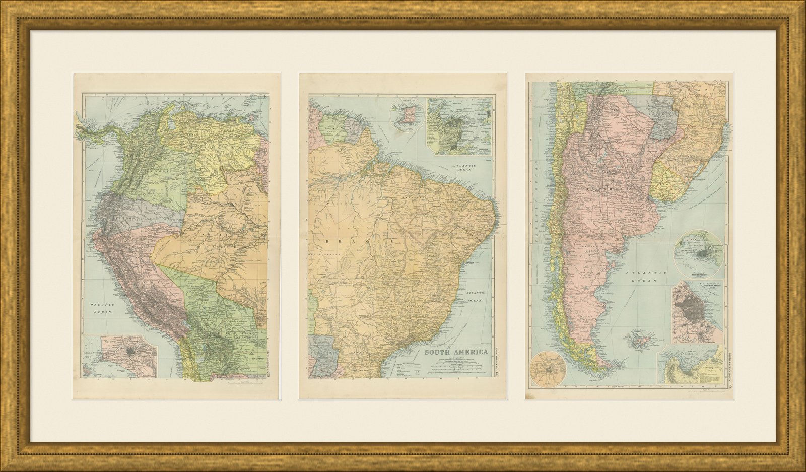
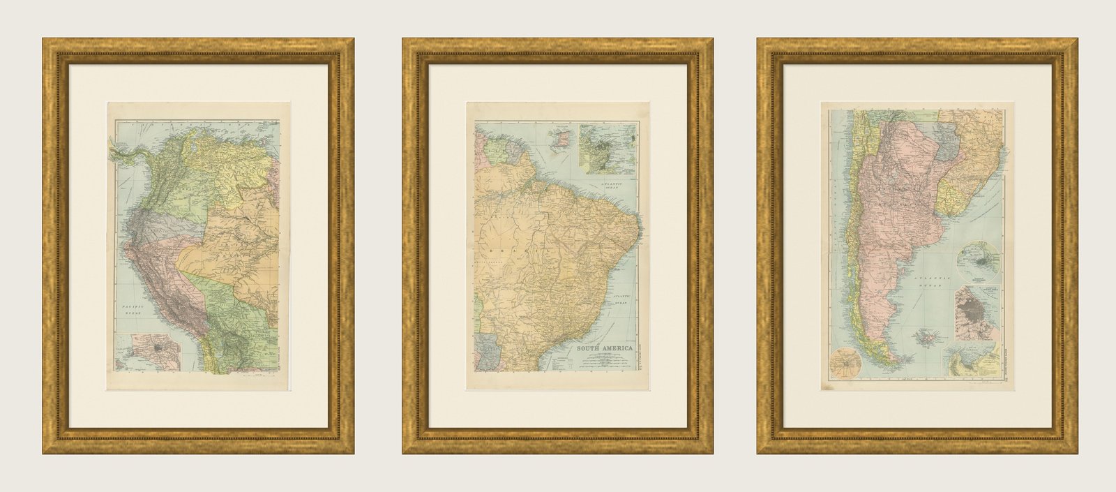
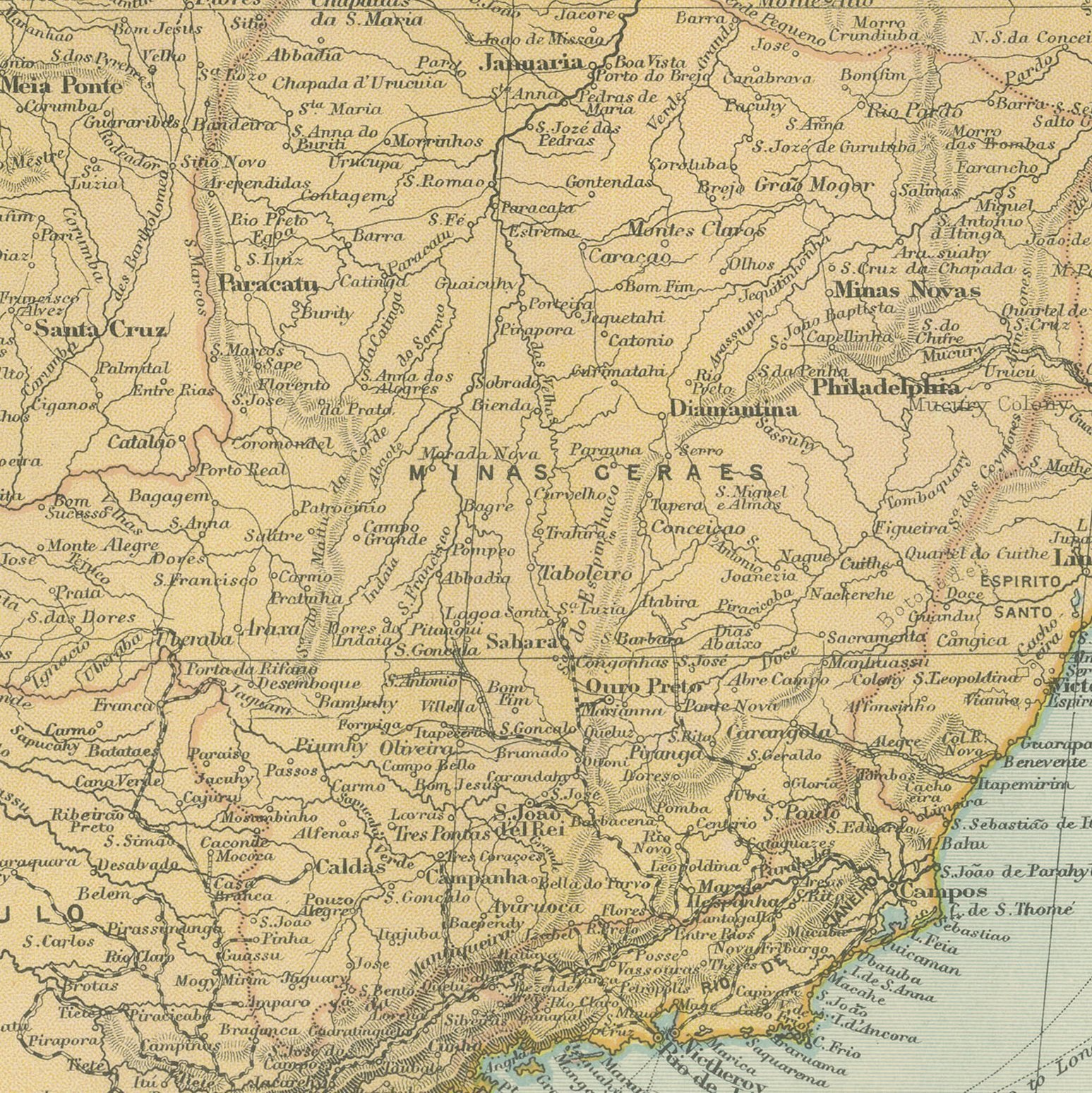
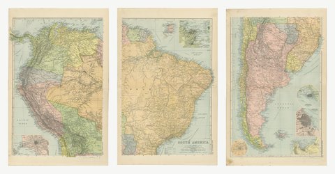
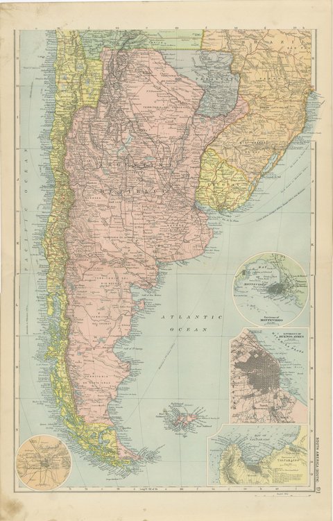
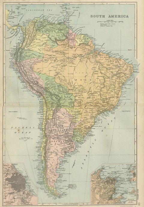
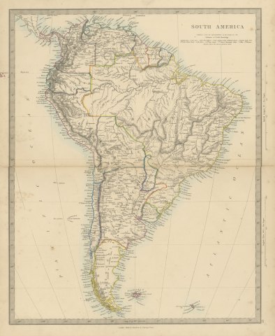
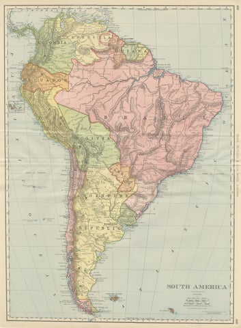
Antique Map of South America in Three Sheets, Brazil to Patagonia, 1898
$545
€495 · dollar price at today's exchange rate
Buy now Ask a question
Shipping to the United States: $50 standard, $72 express, insured and tracked.
- Date
- 1898
- Maker
- George Washington Bacon
- Kind
- Maps
- Technique
- Lithograph
- Color
- Printed color
- Size
- 54 × 34 cm (21.3 × 13.4 in)
- Condition
- Good. Three sheets, all age toned. The paper darker along the edges of plate 89. Gray handling soiling in the margins of plate 91. Handling wear to the corners of all of them. The printed images are clean.
- Period
- The Gilded Age
- Places
- Argentina, Brazil, South America
- Reference
- BG-06675-89
What the condition grades mean
- Excellent
- Bright and clean, with no faults worth mentioning.
- Very good
- Only light signs of age, such as faint toning.
- Good
- Normal signs of age for a sheet of this period: toning, some foxing, small marks or neat old repairs.
- Fair
- Clear faults such as staining, tears or repairs, priced to match.
Every fault we see is written in the condition note, and the whole sheet is shown uncropped in the photos.
Guaranteed original. This is an original of the period stated, not a later reproduction or print-on-demand copy. If it is ever shown to be otherwise, we refund you in full.
Shipping to the United States. Sent from our gallery in Langweer, the Netherlands, flat between boards or rolled in a tube, and fully insured.
Delivery and import charges.
About this piece
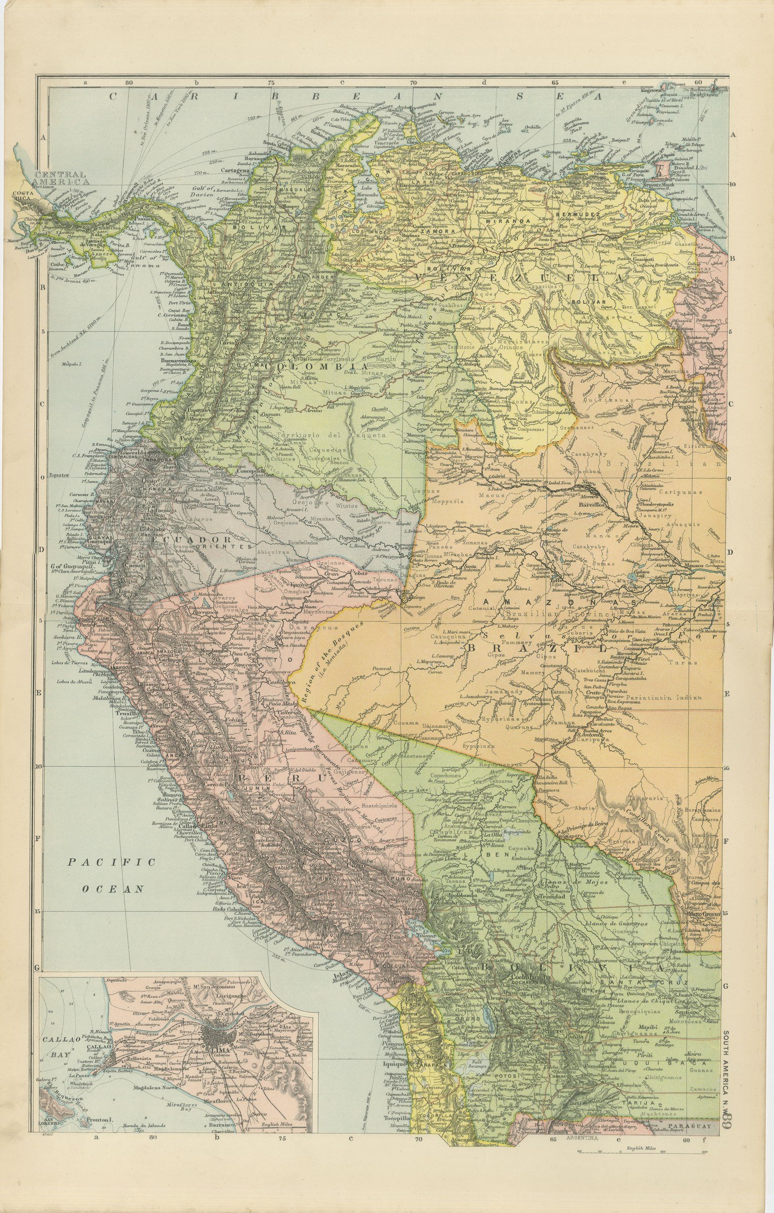
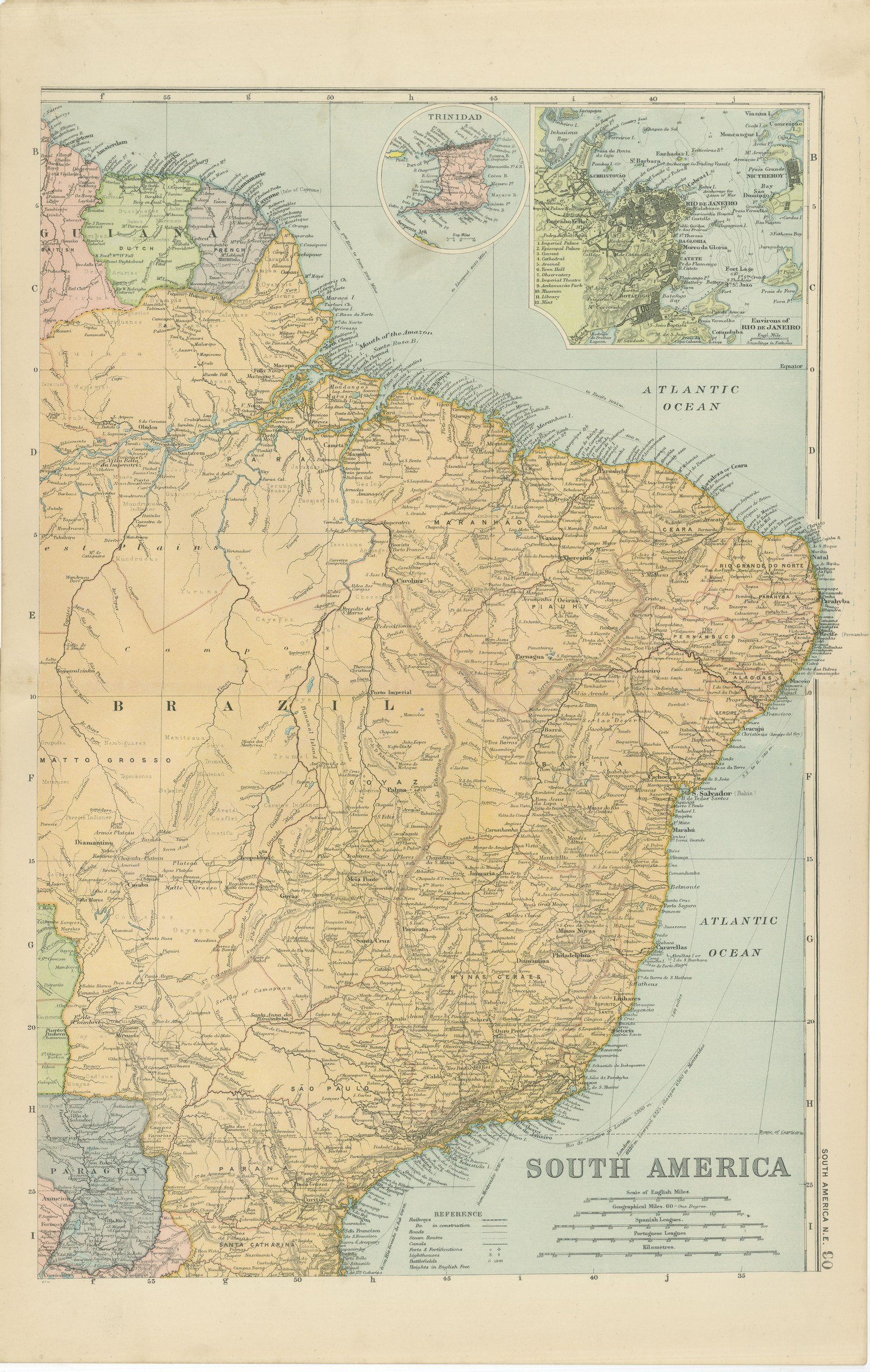
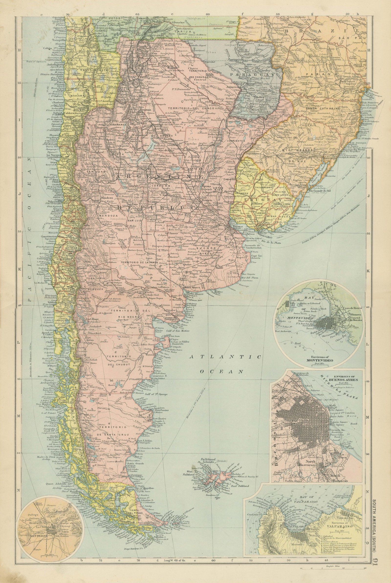
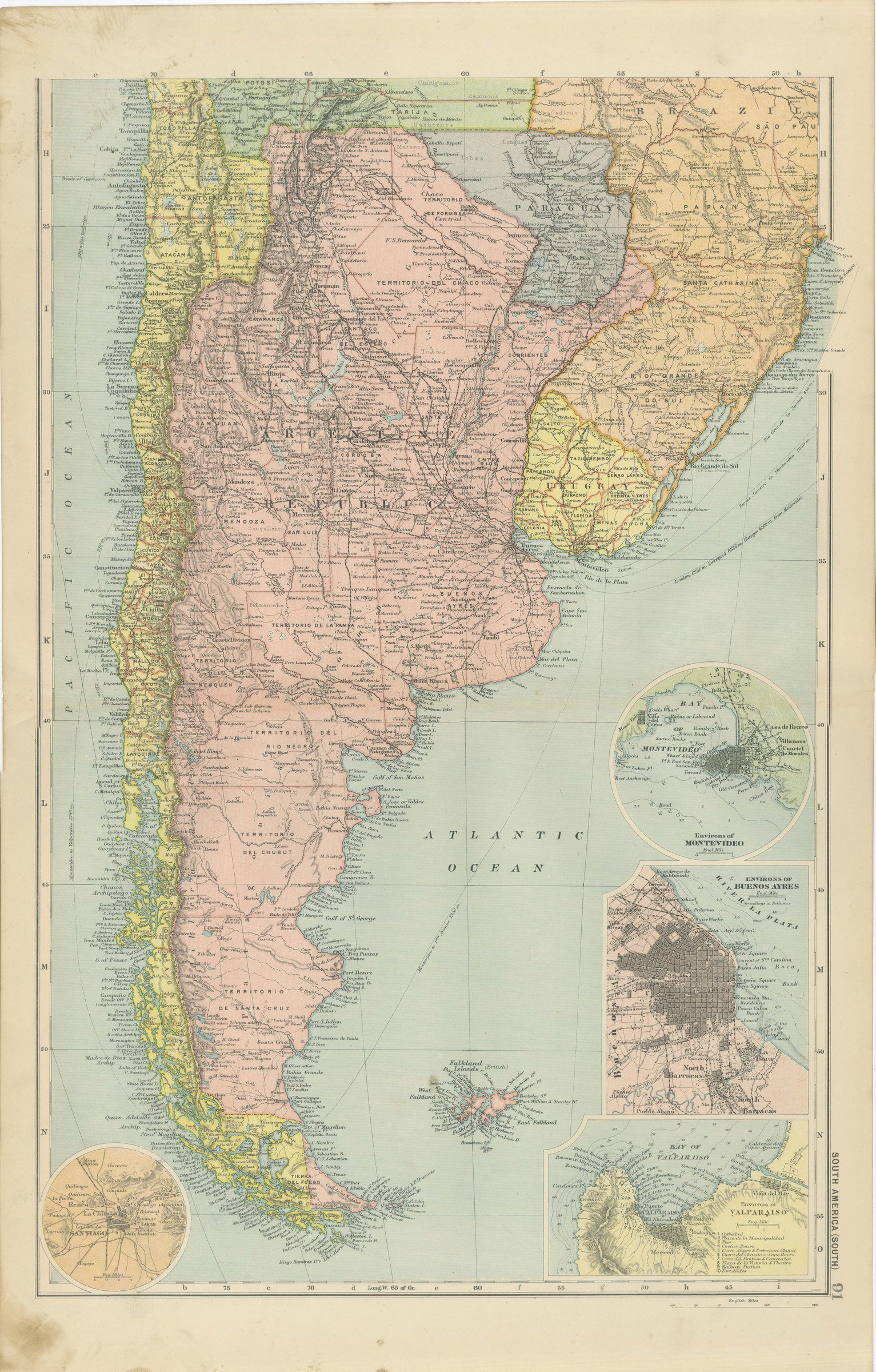
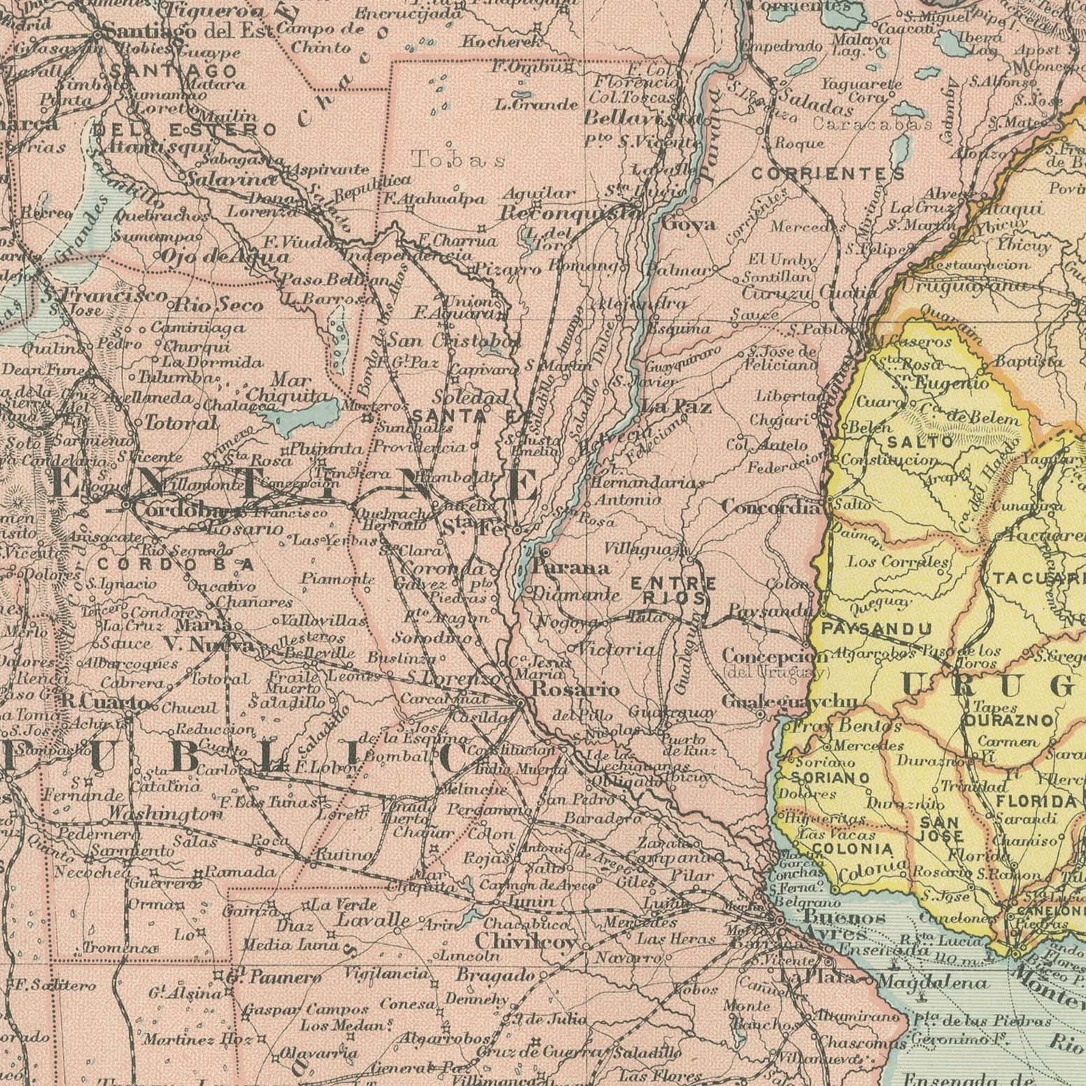
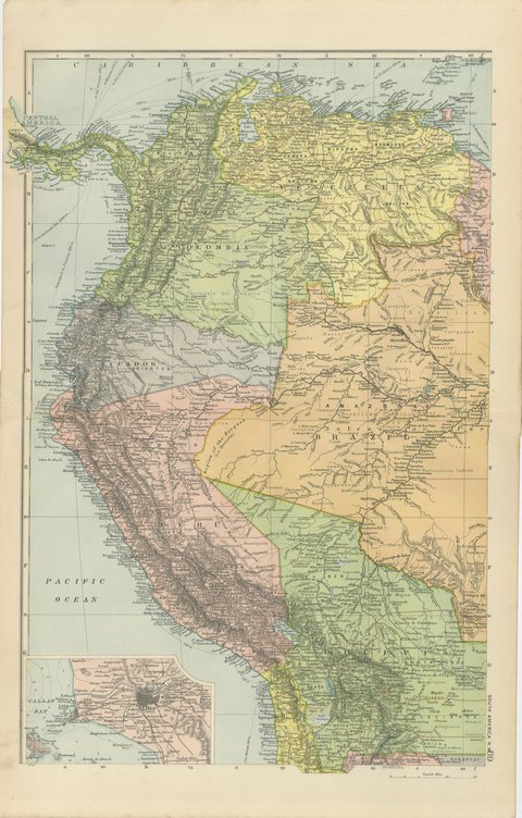
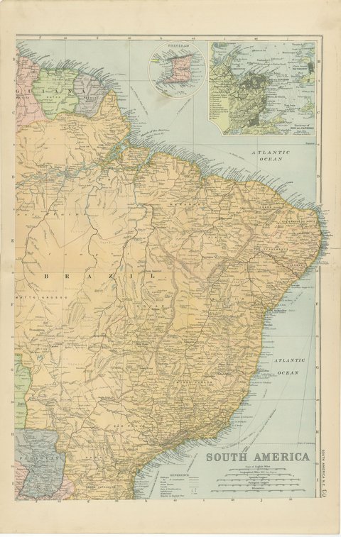
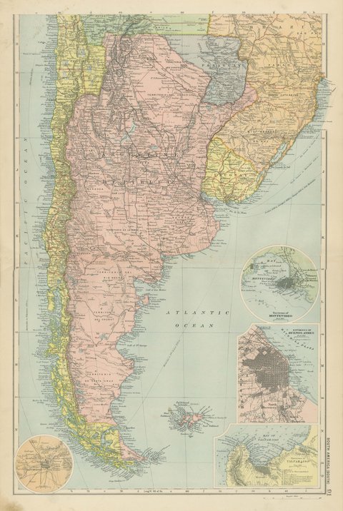
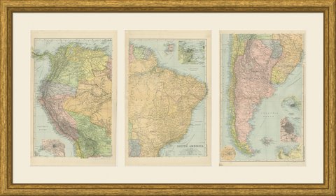
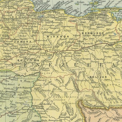
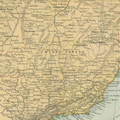
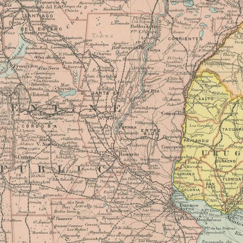
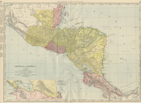
A set of three original antique maps that join to form the whole of South America, color printed in London in 1898 for G. W. Bacon's Commercial and Library Atlas of the World. The north western sheet covers Colombia, Ecuador, Peru and Bolivia with an inset of Lima and Callao Bay; the north eastern sheet carries Brazil and the Guianas with insets of Trinidad and the environs of Rio de Janeiro; the southern sheet runs from the Plate to Cape Horn with Argentina, Chile, Uruguay, Paraguay, Patagonia and the Falkland Islands, and insets of Montevideo, Buenos Ayres, Valparaiso and Santiago. These are three original sheets sold together as one set and are not offered separately.
The plate belongs to the 1898 edition of Bacon's Commercial and Library Atlas of the World with Index-Gazetteer, edited by G. W. Bacon of 127 Strand, London. Printed and colored at Bacon's Geographical Establishment, the atlas set out one hundred double page maps and one hundred inset maps, and its purpose was practical: it recorded the political world as the Victorians left it, a year after the Diamond Jubilee and a year before the South African War.
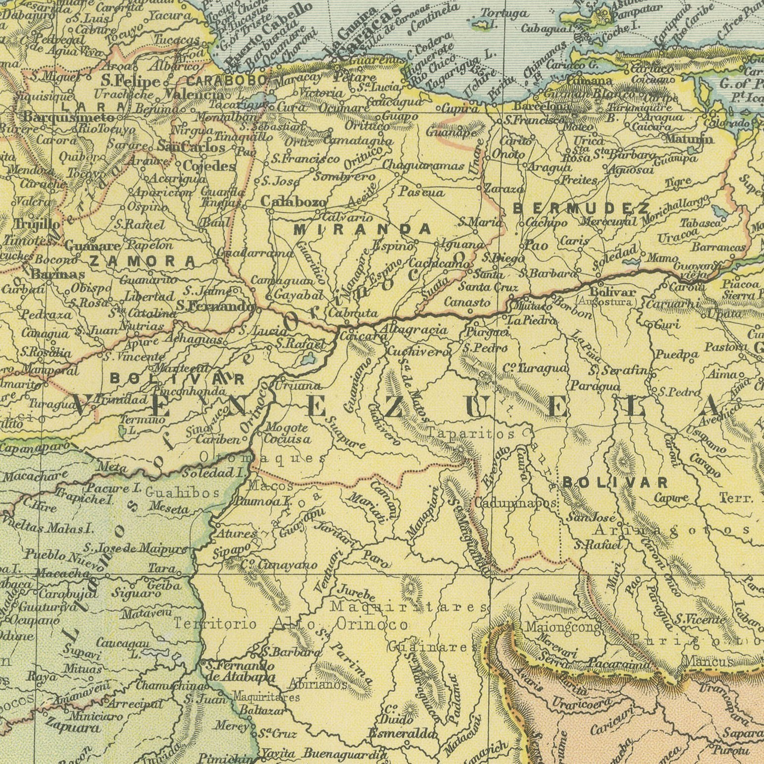
Hung as a block the three sheets make a continental map more than a meter tall, and the detail is far beyond what a single page map of South America can carry: the provinces of Argentina and the states of Brazil are named and colored, the Amazon tributaries are traced, and the nitrate ports of the Pacific coast are marked a few years after the war that transferred them from Peru and Bolivia to Chile. Bolivia still reaches the sea on this map only through treaty disputes already lost. Seven city insets across the three sheets give the set an unusual amount of urban detail.
Three sheets, all age toned. The paper darker along the edges of plate 89. Gray handling soiling in the margins of plate 91. Handling wear to the corners of all of them. The printed images are clean.
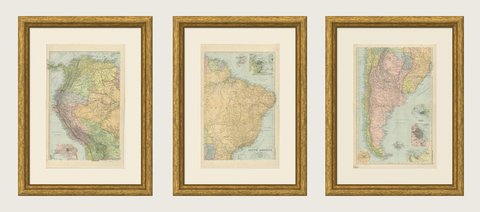
Hung in a plain frame with a generous mount, a map of this scale makes a strong center for a room, and it pairs naturally with other sheets from the same atlas if a wall calls for a group. It is equally at home in a study, a dining room or a set of offices. These are original antique maps, not modern reproductions. This item is sold unframed.