1916 · Maps
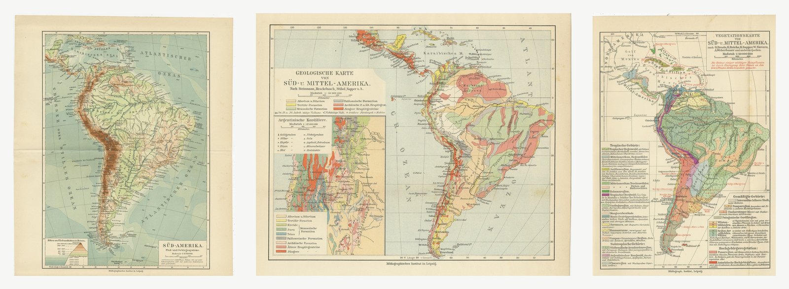
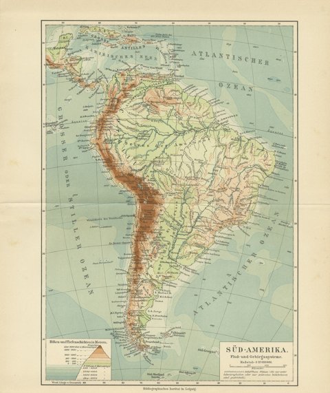
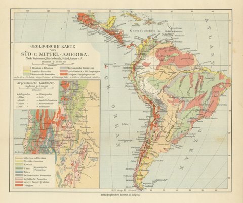
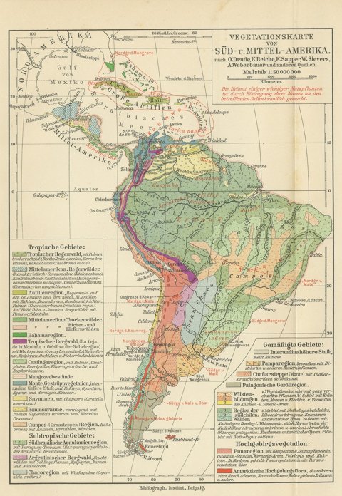
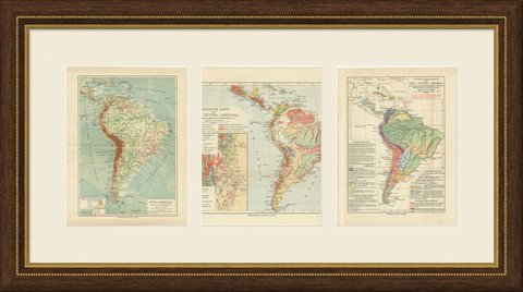
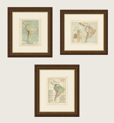
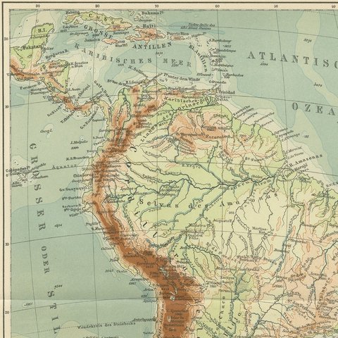
Antique Maps of South America, Relief, Geology and Plants, Set of Three, 1916
$255
€230 · dollar price at today's exchange rate
Buy now Ask a question
Shipping to the United States: $50 standard, $73 express, insured and tracked.
- Date
- 1916
- Kind
- Maps
- Technique
- Chromolithograph
- Color
- Printed color
- Size
- 30 × 24.5 cm (11.8 × 9.6 in)
- Condition
- Good. Even age toning throughout. Handling soiling along the edges of two of the three sheets. Slight wear at the corners of all three sheets. Center folds, as issued.
- Period
- The Twentieth Century
- Reference
- BG-06668-42
What the condition grades mean
- Excellent
- Bright and clean, with no faults worth mentioning.
- Very good
- Only light signs of age, such as faint toning.
- Good
- Normal signs of age for a sheet of this period: toning, some foxing, small marks or neat old repairs.
- Fair
- Clear faults such as staining, tears or repairs, priced to match.
Every fault we see is written in the condition note, and the whole sheet is shown uncropped in the photos.
Guaranteed original. This is an original of the period stated, not a later reproduction or print-on-demand copy. If it is ever shown to be otherwise, we refund you in full.
Shipping to the United States. Sent from our gallery in Langweer, the Netherlands, flat between boards or rolled in a tube, and fully insured.
Delivery and import charges.
About this piece
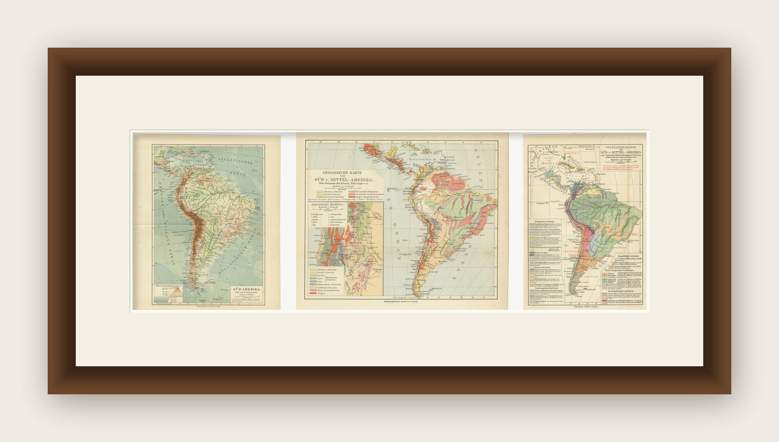
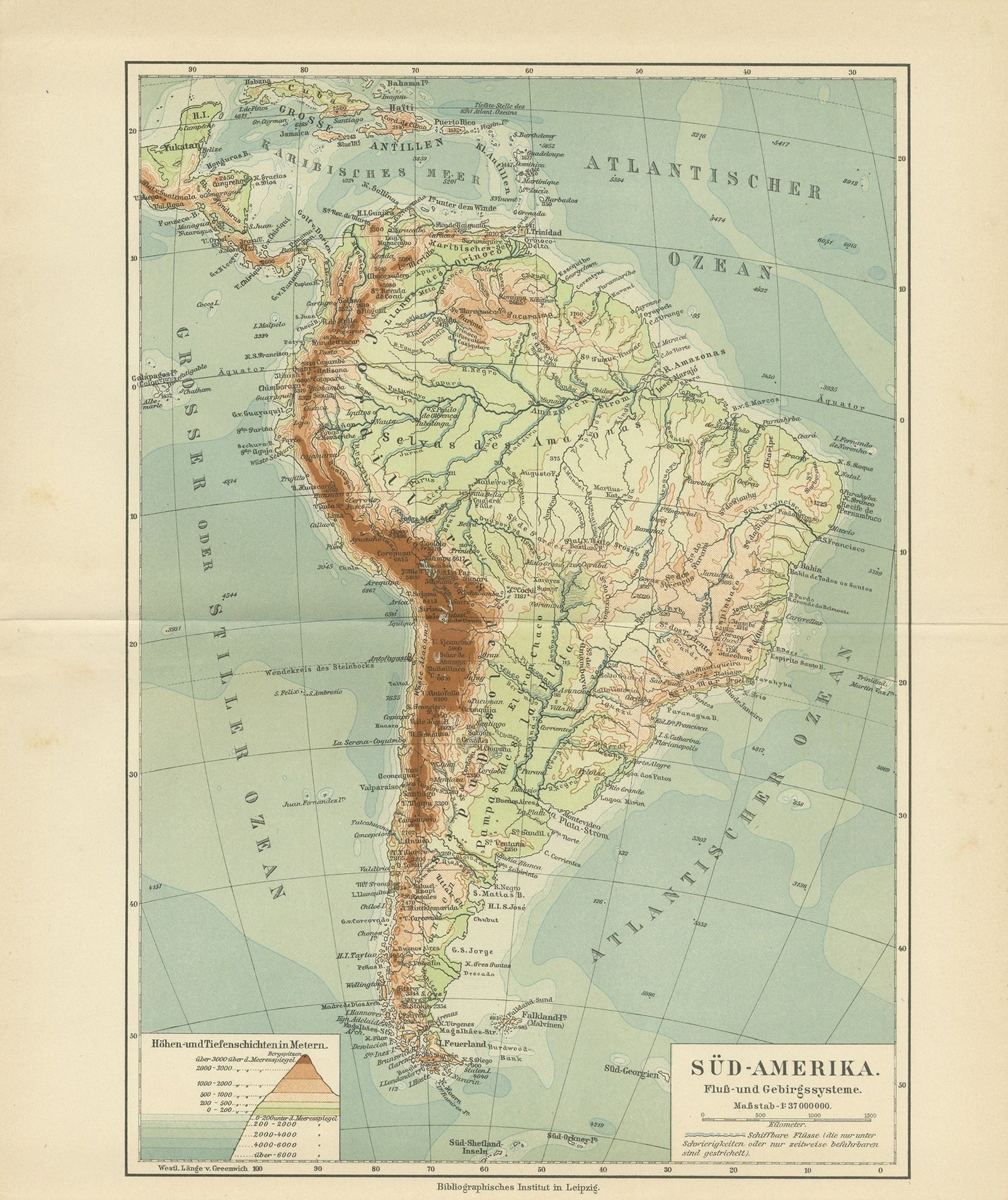
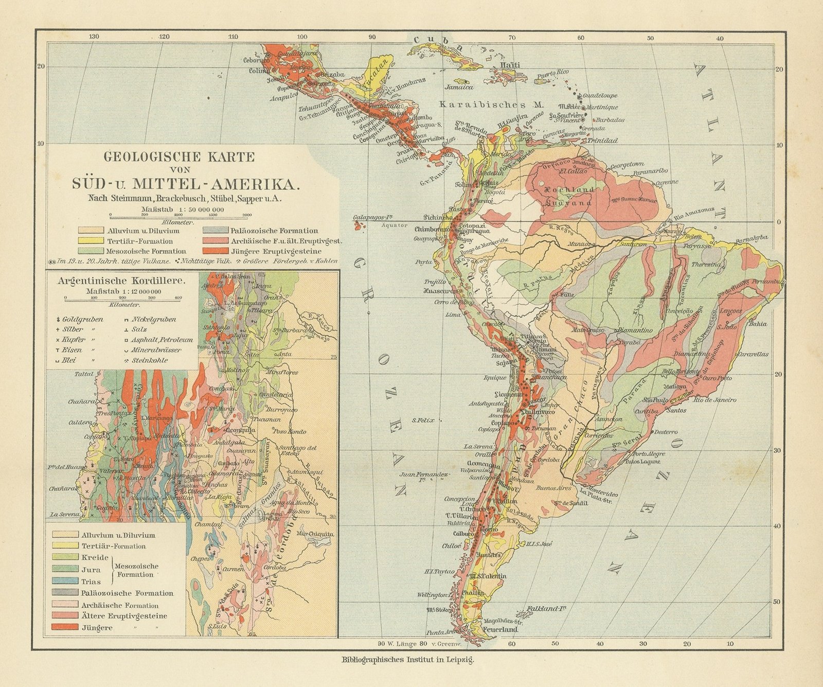
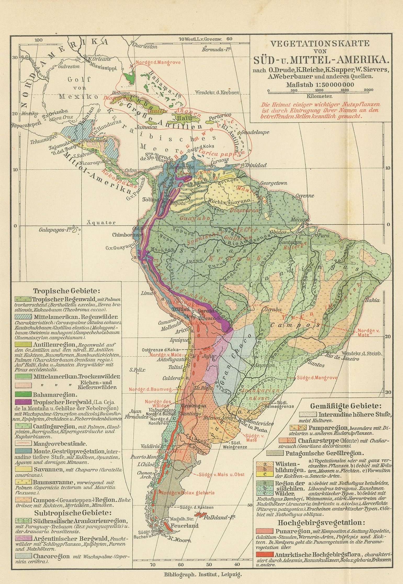
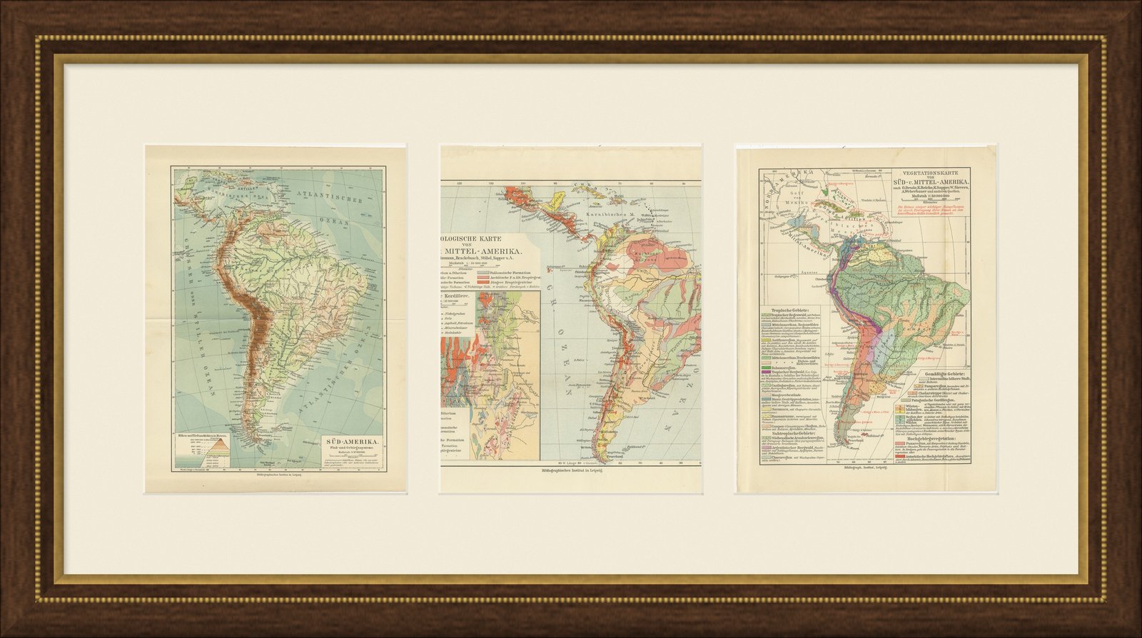
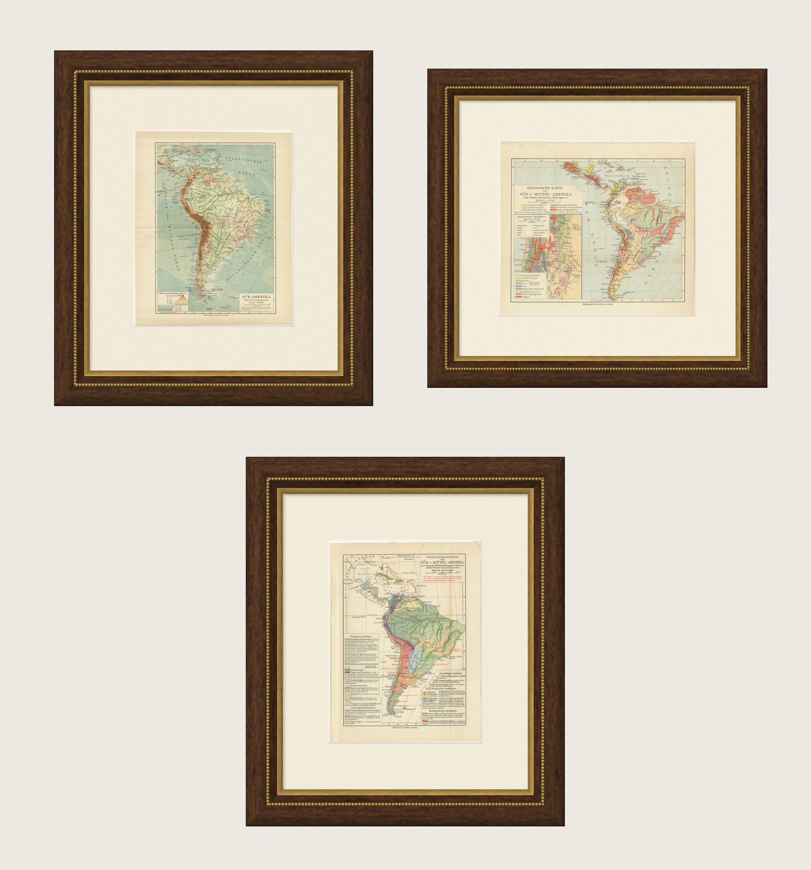
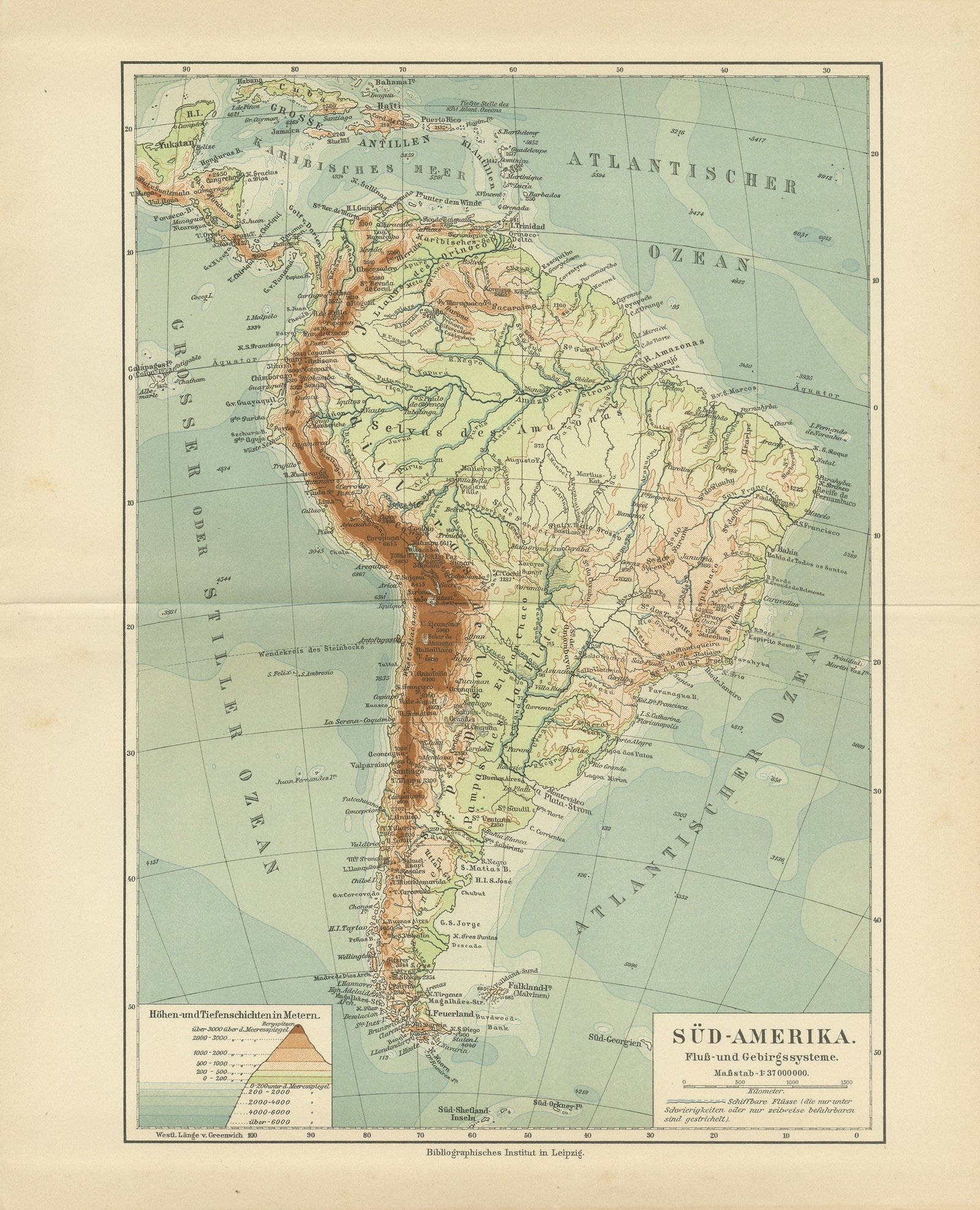
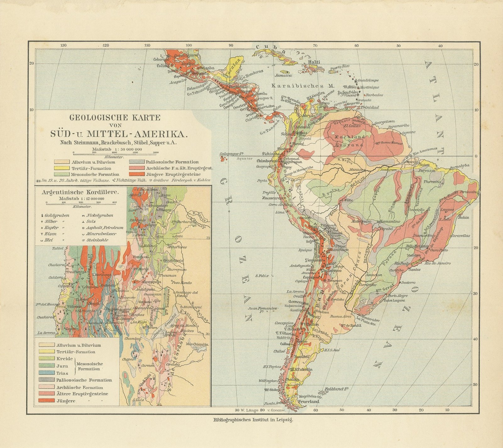
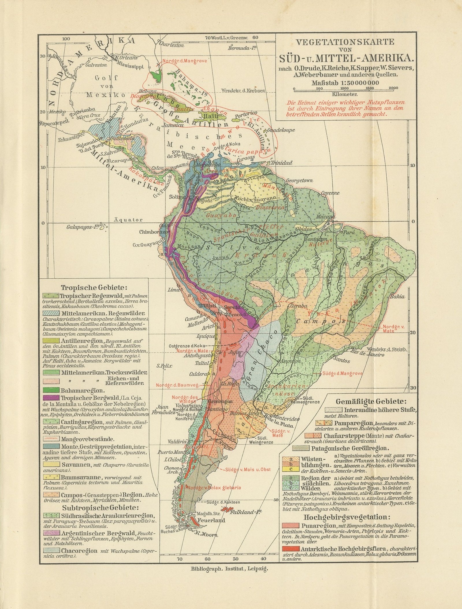
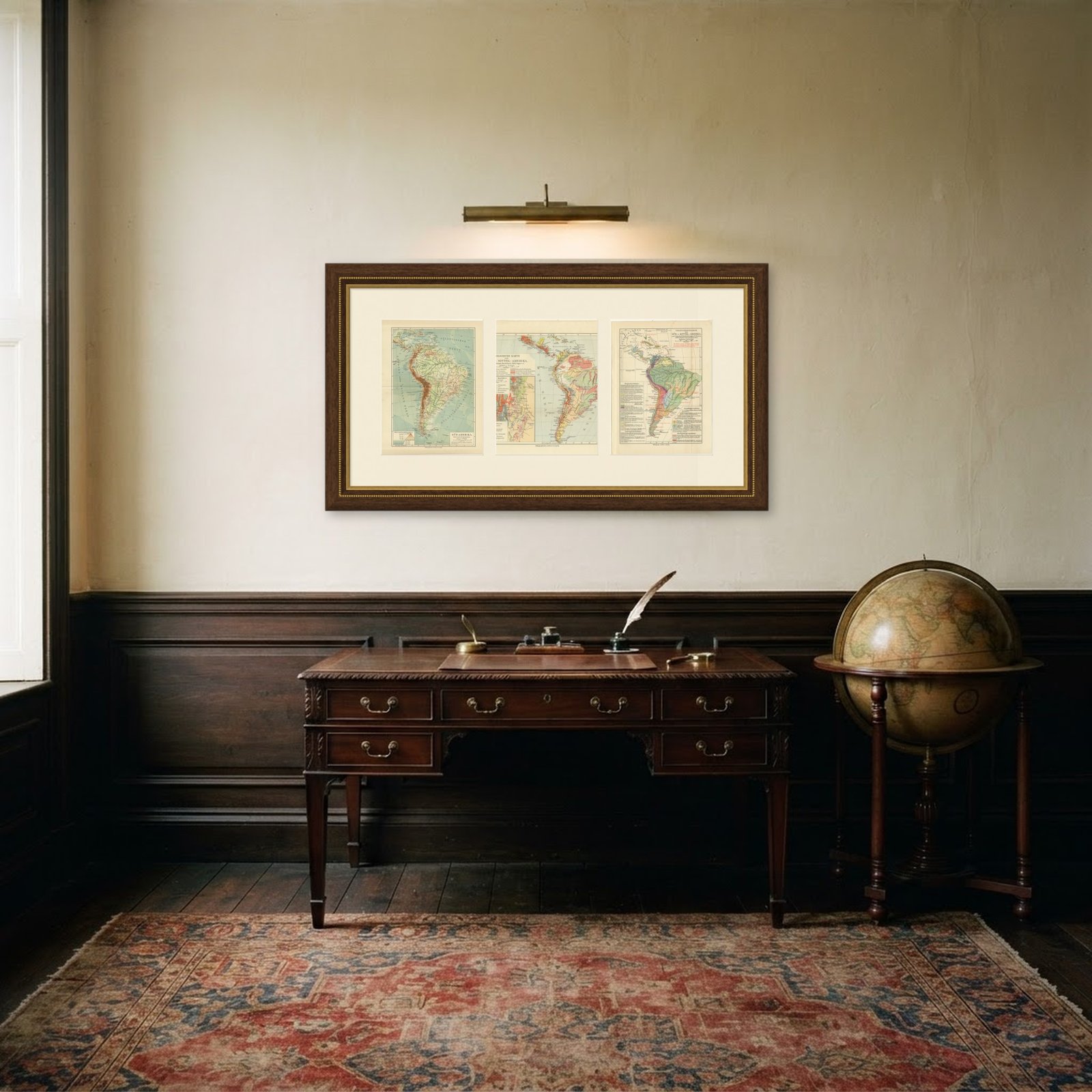
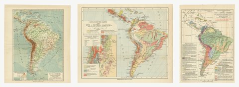
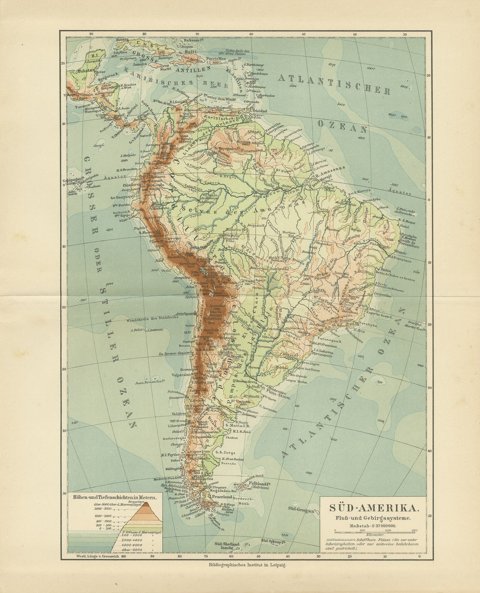
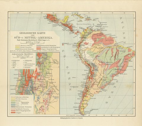
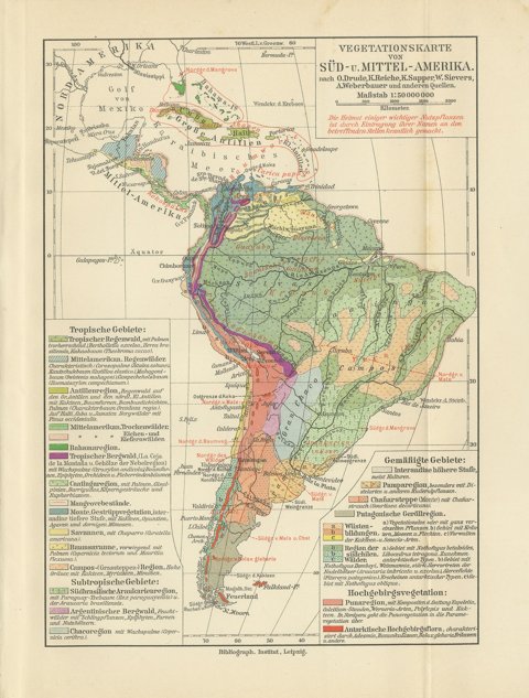
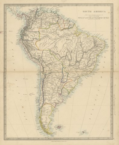
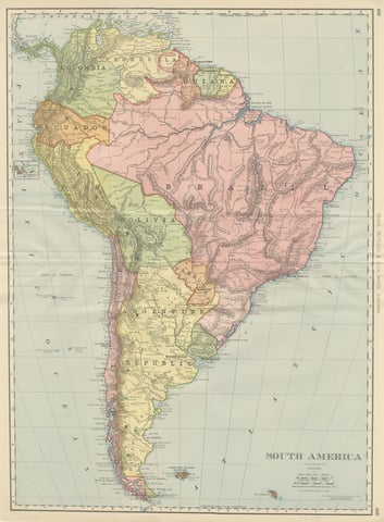
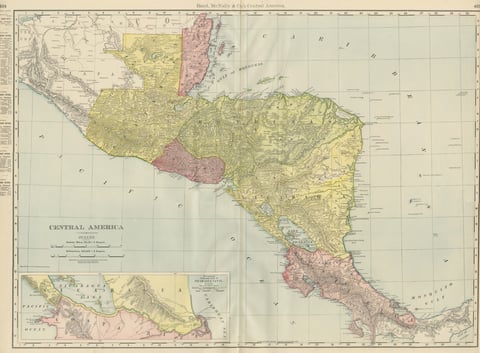
A set of three original antique thematic maps from Meyers Physikalischer Handatlas. They are three original sheets sold together, and the set is never split. The three sheets are South America, physical map of rivers and mountain systems; South and Central America, geological map with a mining inset of the Argentine Cordillera; South and Central America, vegetation map. Each was printed in color by the Bibliographisches Institut in Leipzig and Vienna in 1916.
All three maps come from the same atlas, Meyers Physikalischer Handatlas, fifty one maps of oceanography, morphology, geology, climatology, plant and animal geography and ethnology, published by the Bibliographisches Institut in Leipzig and Vienna in 1916. They share a typeface and a palette, which is the whole reason they work on a wall together: hung in a row or in a block they read as one considered group rather than as three unrelated prints. The atlas was the physical geography companion to Meyers Grosses Konversations-Lexikon and was compiled from the leading specialist sources of the day, including the Berghaus physical atlas, Alexander Supan, Julius Hann and Oscar Drude.
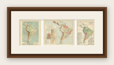
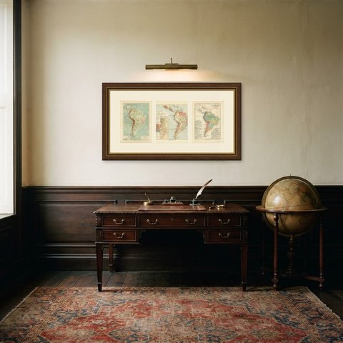
Thematic maps take one idea and lay it across a whole region in color, and a set of them shows the same ground answering three different questions at once. That is a more interesting wall than three views of the same thing. Framed in matching plain dark moldings with wide off white mats, a set like this suits a study, a library, a hallway, a boardroom or a stair wall.
Even age toning throughout. Handling soiling along the edges of two of the three sheets. Slight wear at the corners of all three sheets. Center folds, as issued.
These are original antique maps, not modern reproductions. This item is sold unframed.