1784 · Maps
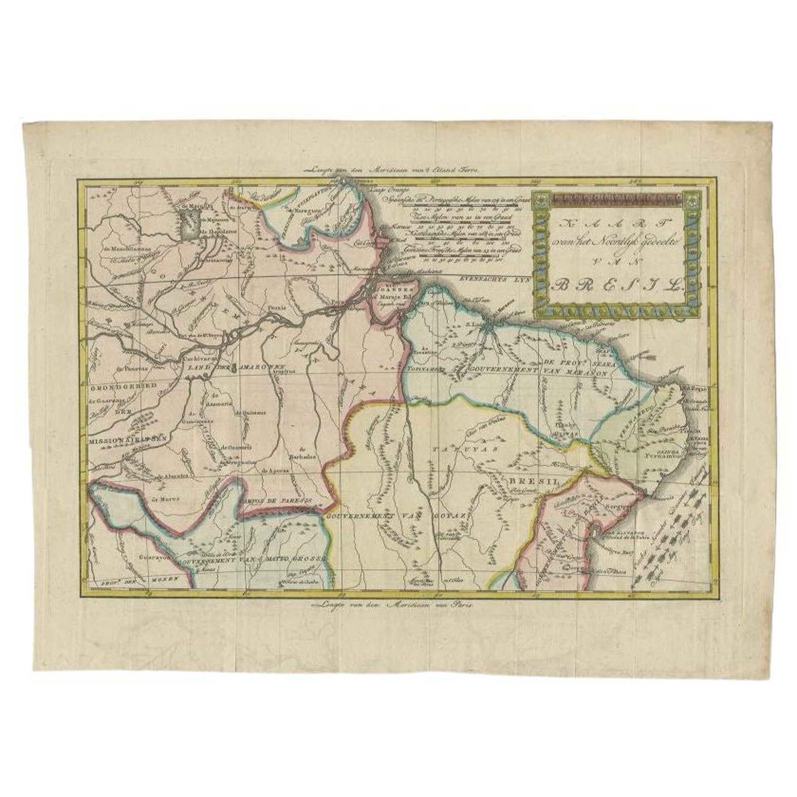
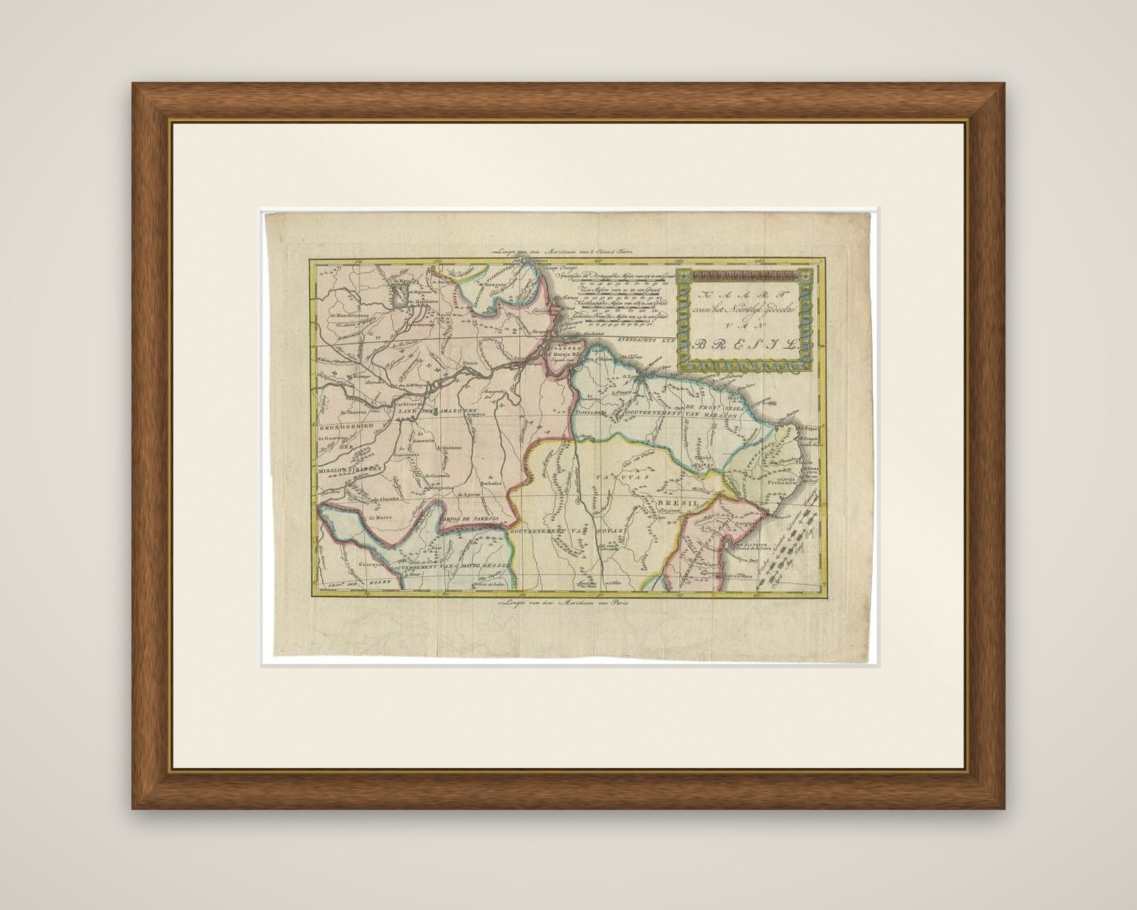
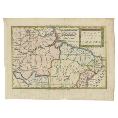
Antique Map of the Northern Part of Brazil by Raynal, 1784
$255
€227 · dollar price at today's exchange rate
Buy now Ask a question
Shipping to the United States: $51 standard, $73 express, insured and tracked.
- Date
- 1784
- Maker
- Rigobert Bonne
- Kind
- Maps
- Size
- 27.5 × 37 cm (10.8 × 14.6 in)
- Condition
- Good
- Period
- The Early Republic
- Places
- Brazil
- Reference
- BG-09446
What the condition grades mean
- Excellent
- Bright and clean, with no faults worth mentioning.
- Very good
- Only light signs of age, such as faint toning.
- Good
- Normal signs of age for a sheet of this period: toning, some foxing, small marks or neat old repairs.
- Fair
- Clear faults such as staining, tears or repairs, priced to match.
Every fault we see is written in the condition note, and the whole sheet is shown uncropped in the photos.
Guaranteed original. This is an original of the period stated, not a later reproduction or print-on-demand copy. If it is ever shown to be otherwise, we refund you in full.
Shipping to the United States. Sent from our gallery in Langweer, the Netherlands, flat between boards or rolled in a tube, and fully insured.
Delivery and import charges.
About this piece
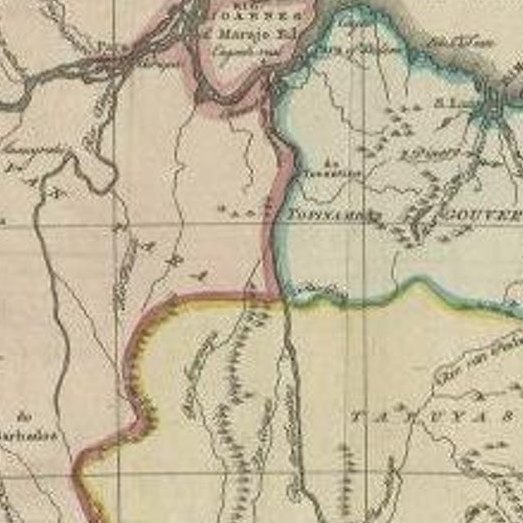
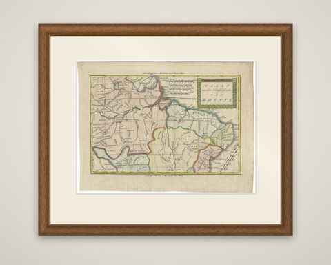
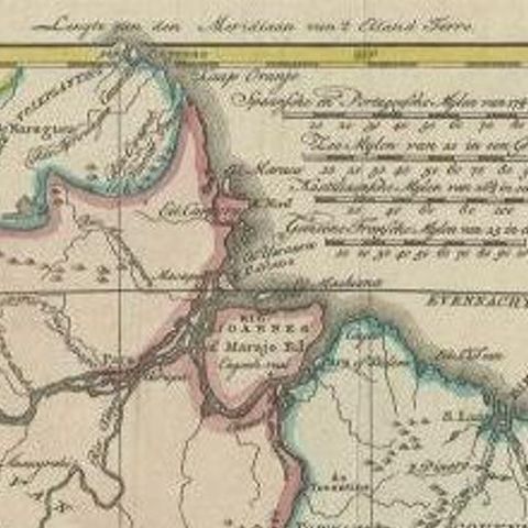
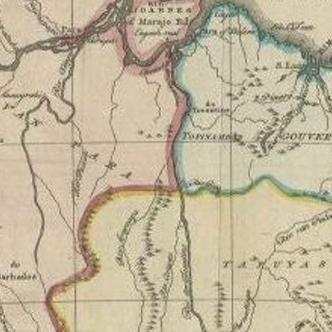
Northern Brazil in the late eighteenth century, titled "Kaart van het Noordlijk gedeelte van Bresil", an original copper engraving with hand outline color, engraved by Rigobert Bonne for the Dutch edition of Raynal's history of the European settlements in the East and West Indies, Wysgeerige en staatkundige geschiedenis van de bezittingen en den koophandel der Europeaanen in de beide Indiën, published in 1784. It is the Dutch version of Bonne's Atlas géographique for Raynal.
The map covers the mouth and lower basin of the Amazon and the Atlantic coast, with the "Land der Amazonen" and the "Gouvernement" of Goyas, Maranhão and Mato Grosso picked out in yellow, pink and green outline. The long title is set in a decorative cartouche with a border of green leaves at the upper right, with scales in Spanish and Portuguese leagues beside it. Rivers are drawn in fine lines, with the Amazon and its tributaries dominating the interior, and Dutch lettering names the missions of the interior and the settlements on the coast. The meridian of Paris is lettered at the head and foot of the sheet.
Raynal's work was one of the most widely read histories of European colonization in the eighteenth century, and its atlas appeared in several languages.