1903 · Maps
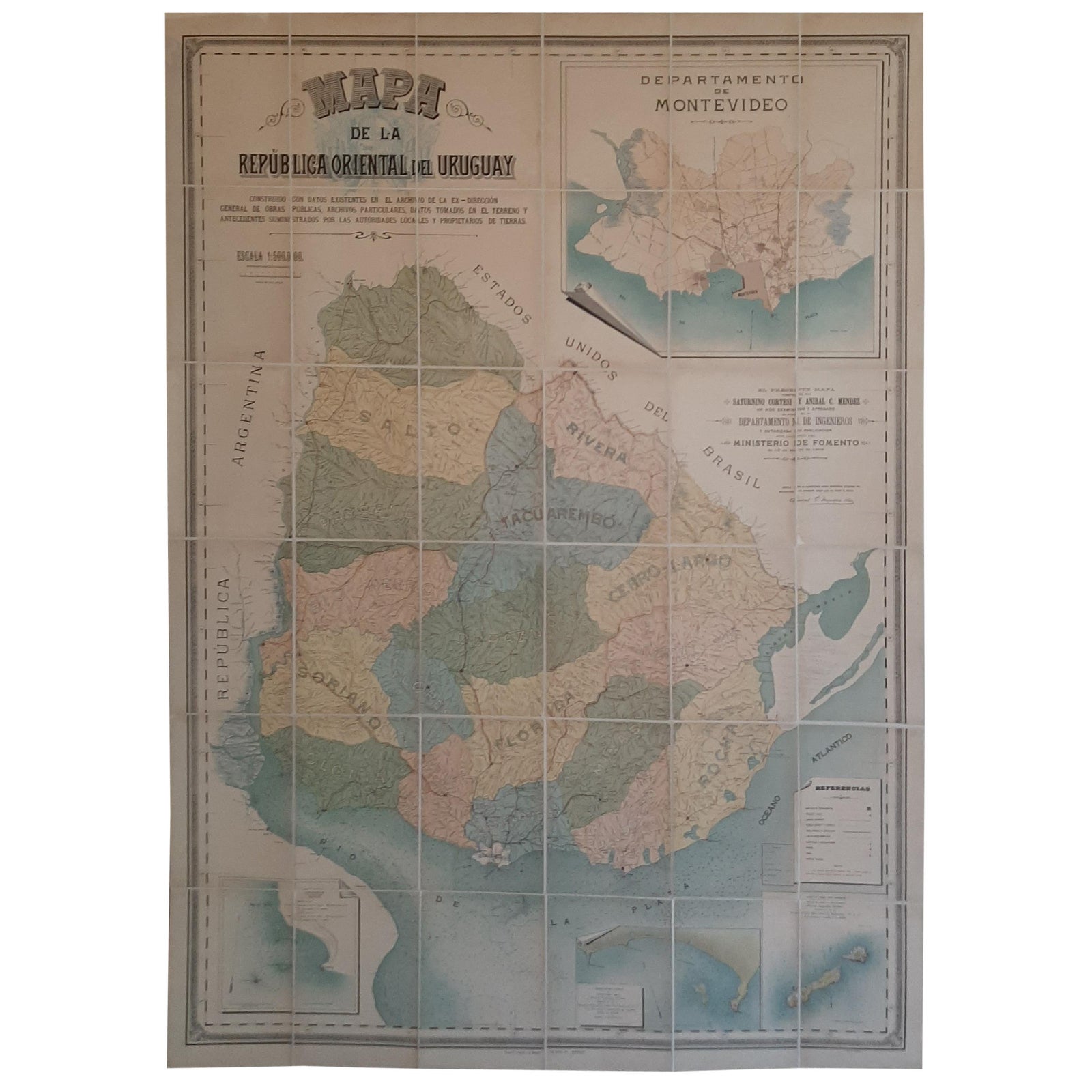
Cortesi's Masterpiece: A Comprehensive and Authoritative Map of Uruguay, 1903
$6,155
€5,500 · dollar price at today's exchange rate
Buy now Ask a question
Shipping to the United States: $51 standard, $73 express, insured and tracked.
- Date
- 1903
- Kind
- Maps
- Size
- 185 × 129 cm (72.8 × 50.8 in)
- Condition
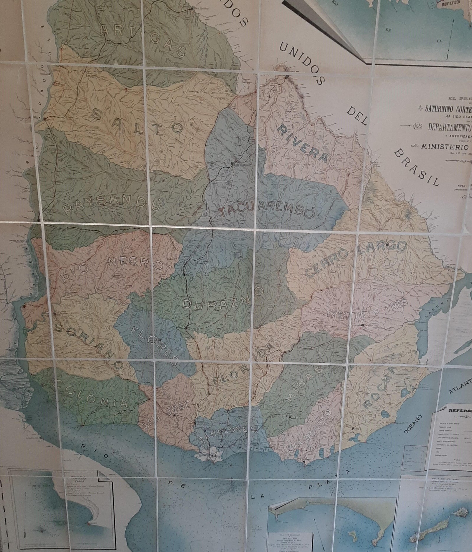
- Good. Repaired: Rebacking with linen. Minor structural damages. Few traces of worm holes (nearly invisible because of rebacking). Please study images carefully.
- Period
- The Twentieth Century
- Reference
- BG-11789
What the condition grades mean
- Excellent
- Bright and clean, with no faults worth mentioning.
- Very good
- Only light signs of age, such as faint toning.
- Good
- Normal signs of age for a sheet of this period: toning, some foxing, small marks or neat old repairs.
- Fair
- Clear faults such as staining, tears or repairs, priced to match.
Every fault we see is written in the condition note, and the whole sheet is shown uncropped in the photos.
Guaranteed original. This is an original of the period stated, not a later reproduction or print-on-demand copy. If it is ever shown to be otherwise, we refund you in full.
Shipping to the United States. Sent from our gallery in Langweer, the Netherlands, flat between boards or rolled in a tube, and fully insured.
Delivery and import charges.
About this piece
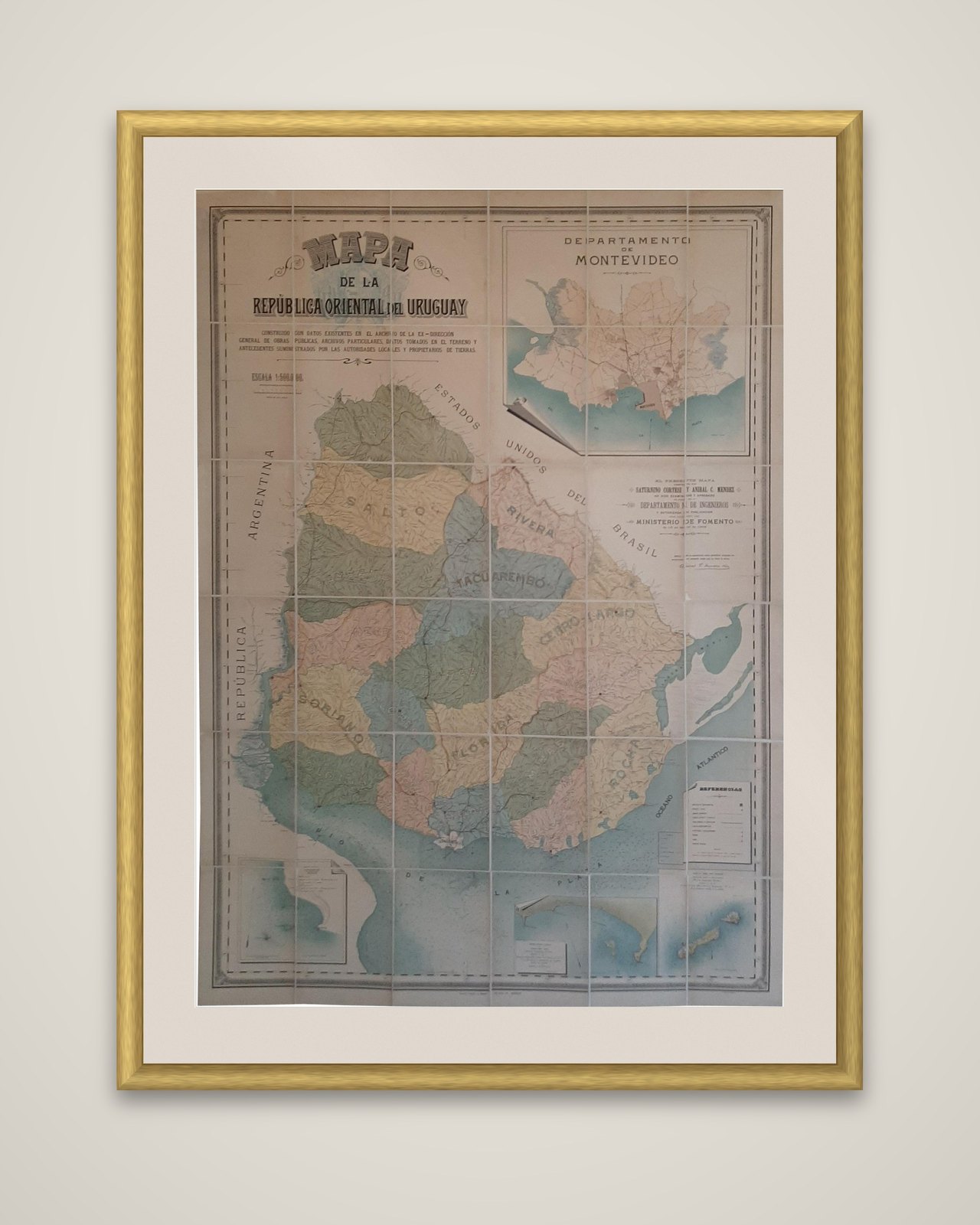
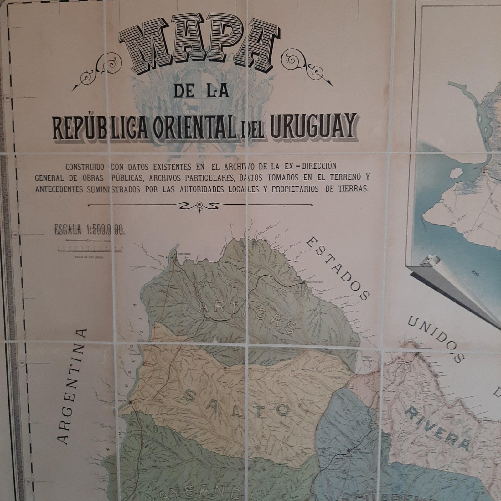
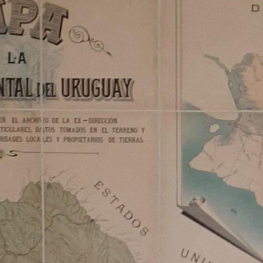
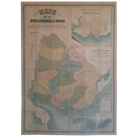
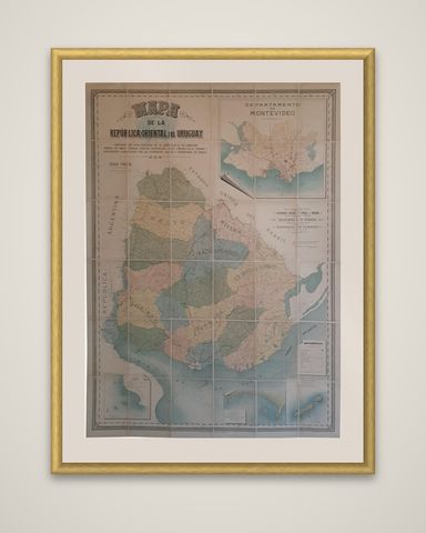
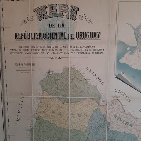
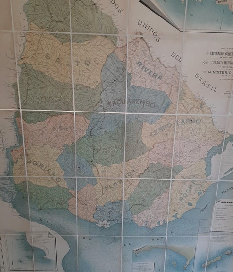
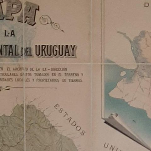
A large folding wall map of Uruguay, titled "Mapa de la República Oriental del Uruguay," compiled by Saturnino Cortesi with Aníbal C. Méndez and chromolithographed by La Minerva, Tipografía y Litografía, in Montevideo, 1903. The sheet is backed with linen and divided into folding panels.
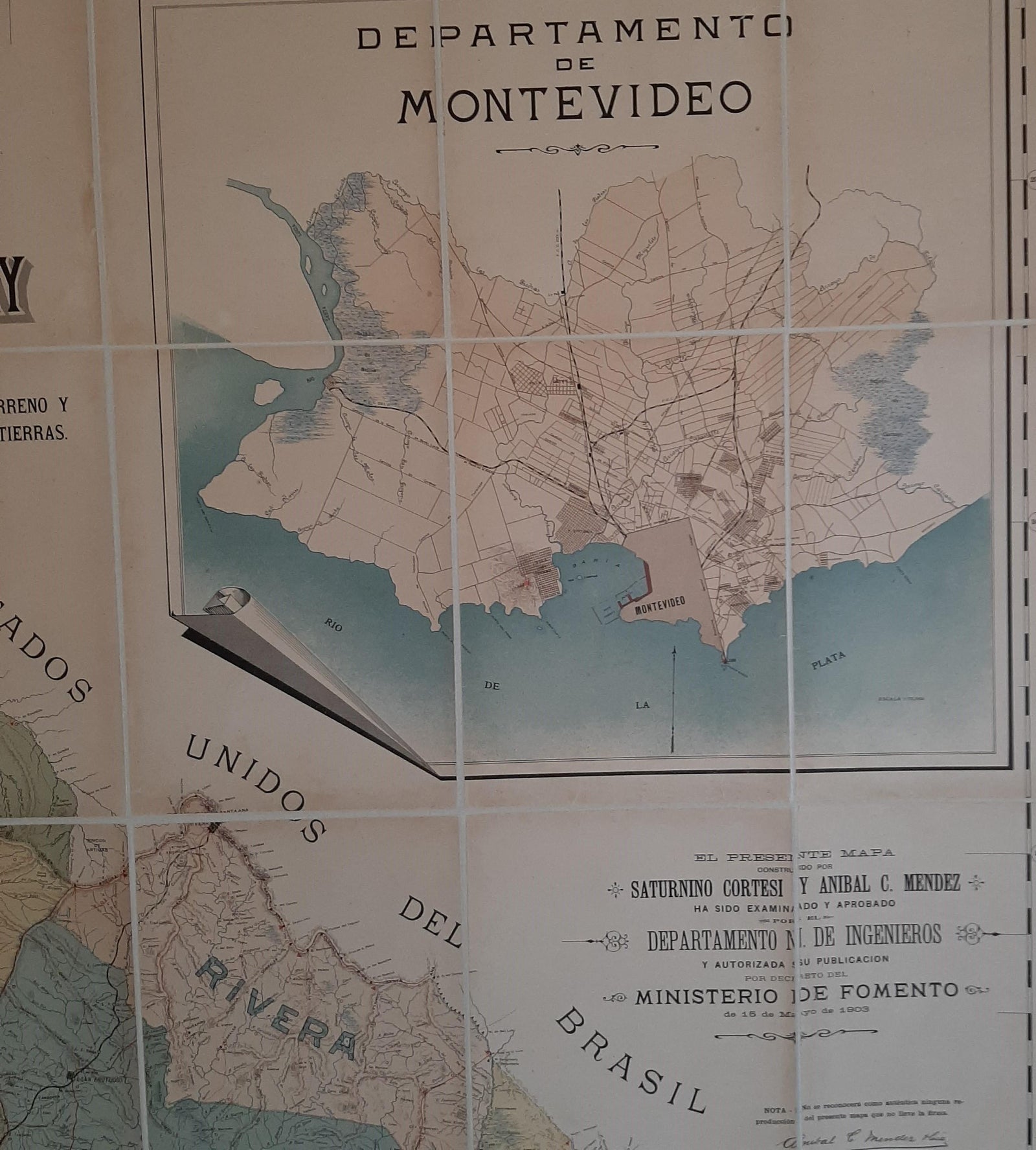
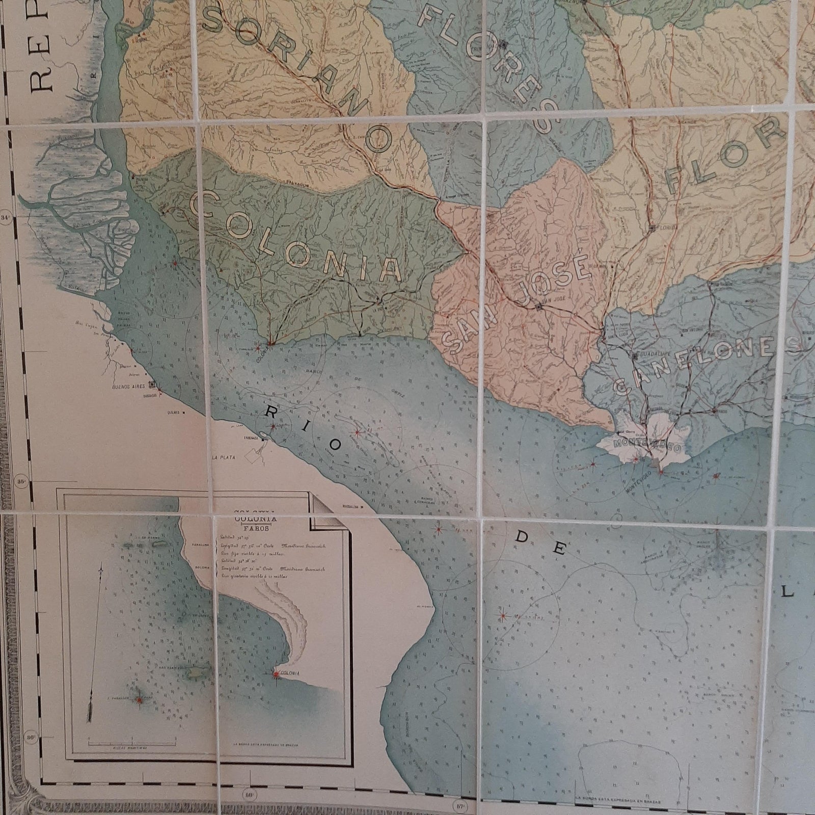
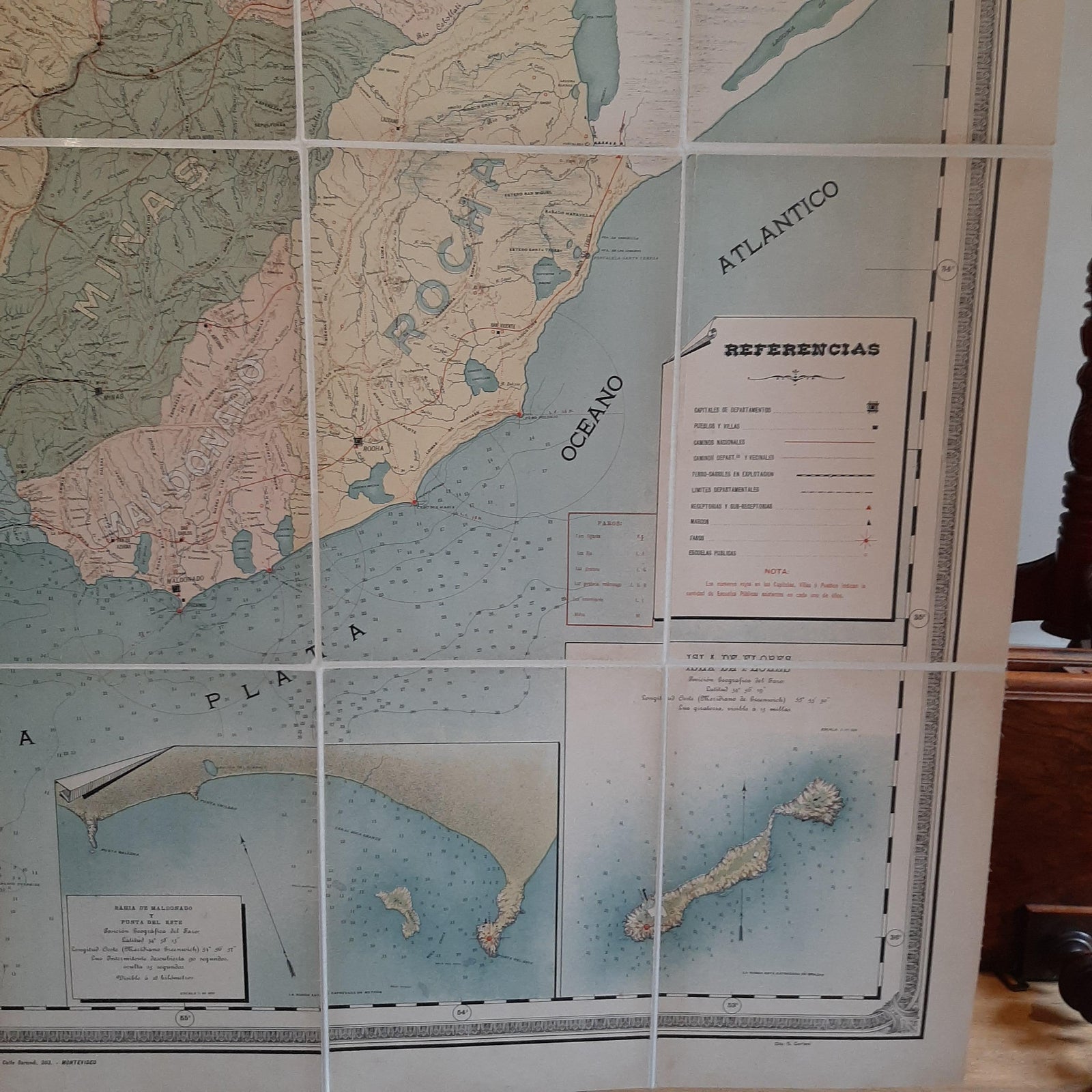
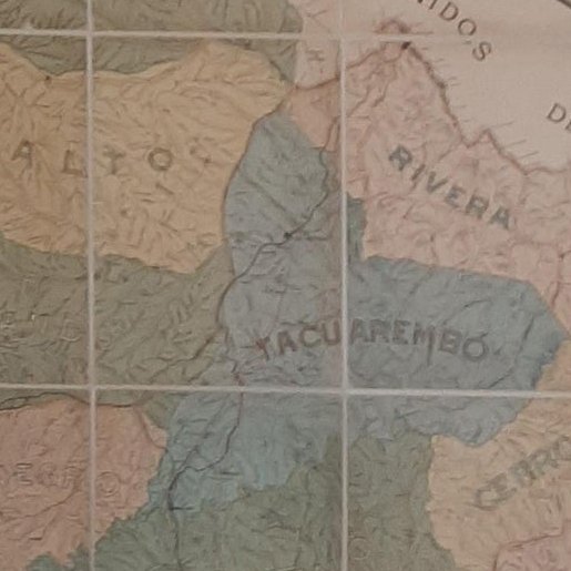
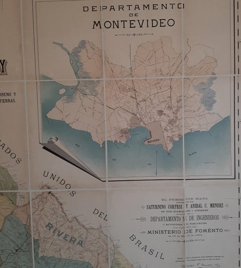
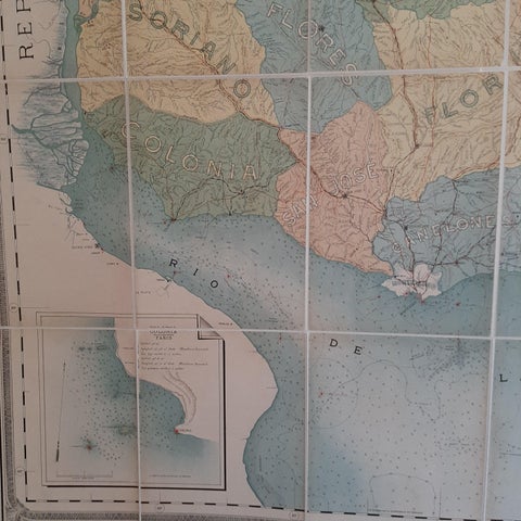
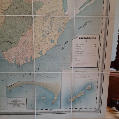
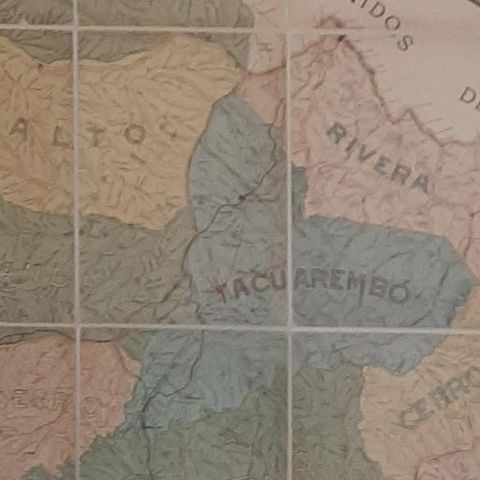
The map is the official national map of the republic. The 20 departments are tinted in separate colors, and a legend, "Referencias," identifies the symbols for departmental capitals, towns, roads, railways, public schools and lighthouses. Every river and stream is drawn and named, the ridges of hills are shown in delicate shading, and the Río de la Plata and the adjacent Atlantic are charted as a sea chart with soundings. Several insets surround the main map, including a large plan of the Department of Montevideo at upper right, with others for Colonia, Maldonado and Punta del Este, and the Island of Flores. An inscription states that the map, made by Cortesi and Méndez, was examined and approved by the National Department of Engineers and authorized for publication by decree of the Ministry of Development.
The Chamber of Representatives commissioned the work in 1901. It appeared in the year José Batlle y Ordóñez was elected president, at the start of a period of relative stability and growth.