Maps
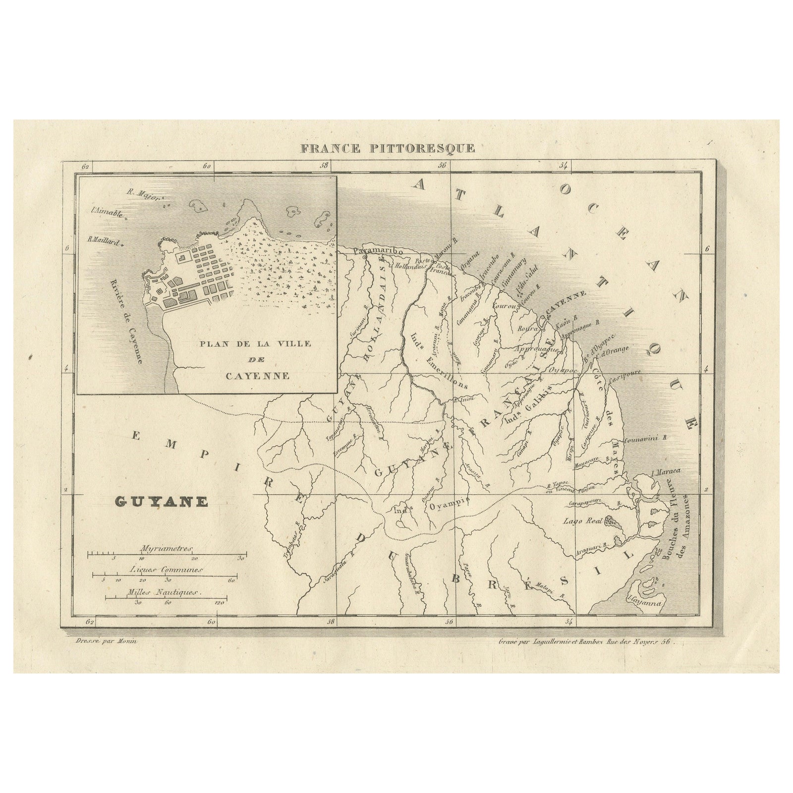
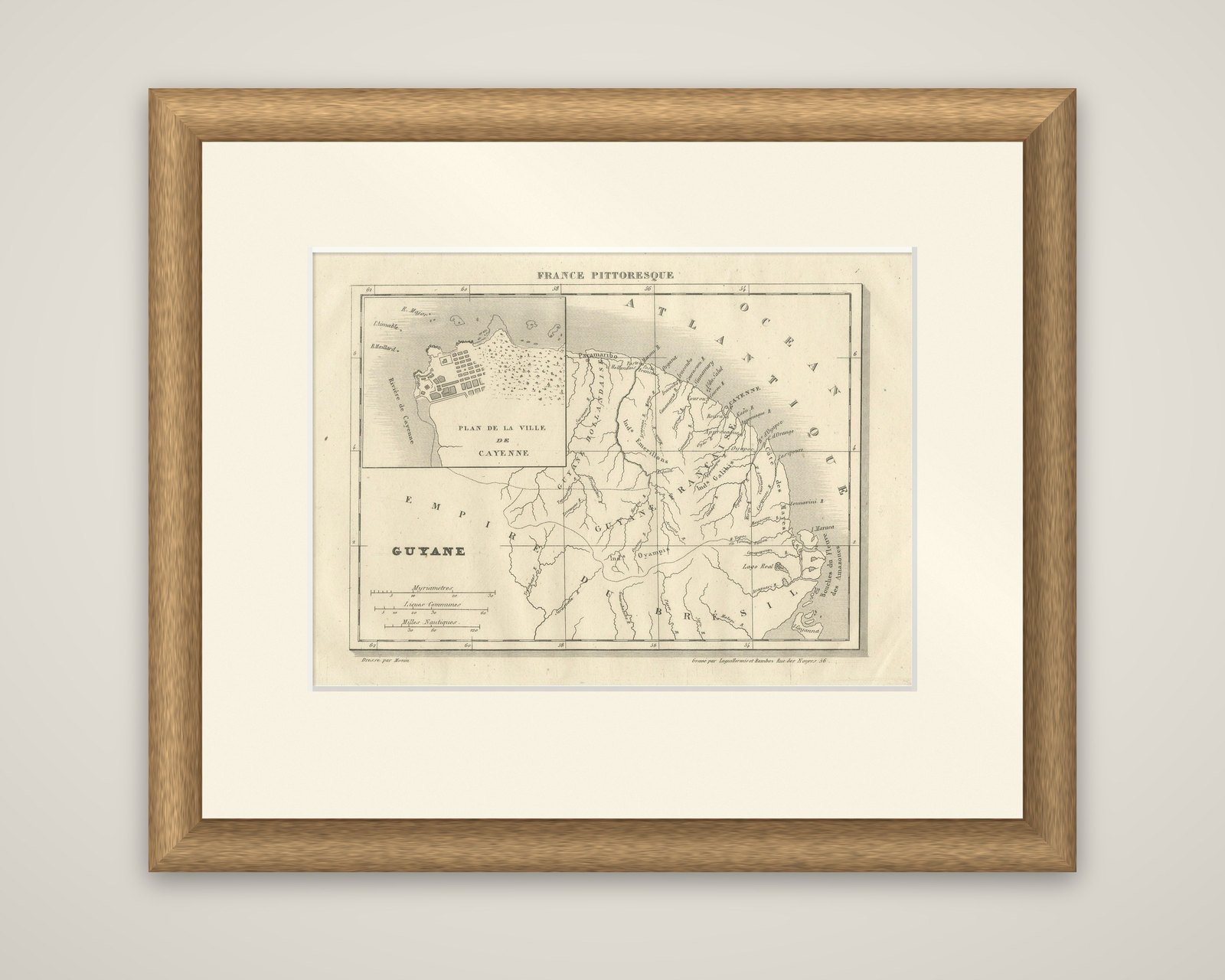
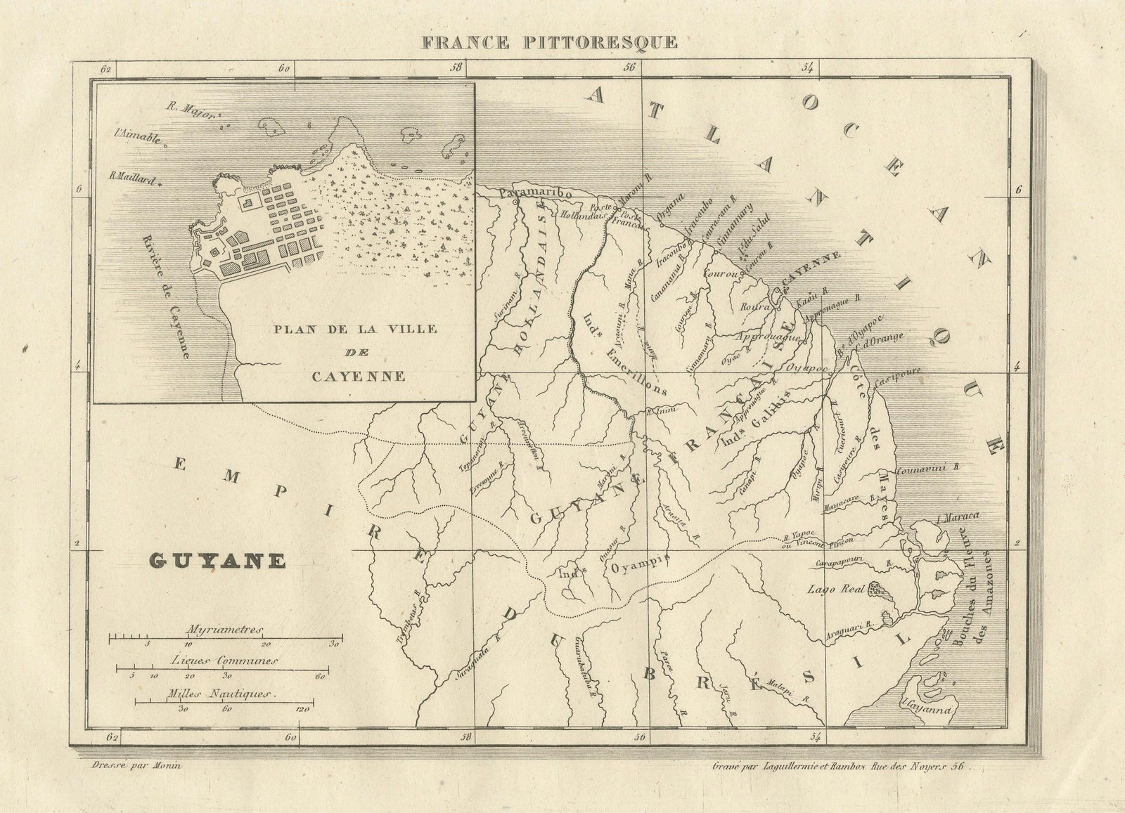
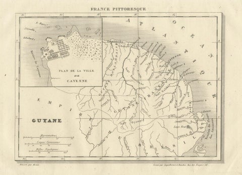
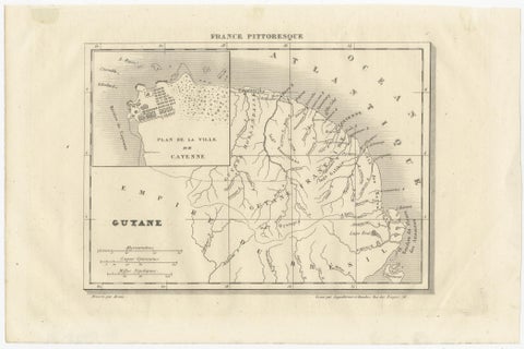
French Guiana and Cayenne: Mid-19th Century Map from France Pittoresque Series
$135
€120 · dollar price at today's exchange rate
Buy now Ask a question
Shipping to the United States: $51 standard, $73 express, insured and tracked.
- Kind
- Maps
- Size
- 17 × 28 cm (6.7 × 11 in)
- Places
- The Guianas
- Reference
- BG-13093-21
What the condition grades mean
- Excellent
- Bright and clean, with no faults worth mentioning.
- Very good
- Only light signs of age, such as faint toning.
- Good
- Normal signs of age for a sheet of this period: toning, some foxing, small marks or neat old repairs.
- Fair
- Clear faults such as staining, tears or repairs, priced to match.
Every fault we see is written in the condition note, and the whole sheet is shown uncropped in the photos.
Guaranteed original. This is an original of the period stated, not a later reproduction or print-on-demand copy. If it is ever shown to be otherwise, we refund you in full.
Shipping to the United States. Sent from our gallery in Langweer, the Netherlands, flat between boards or rolled in a tube, and fully insured.
Delivery and import charges.
About this piece
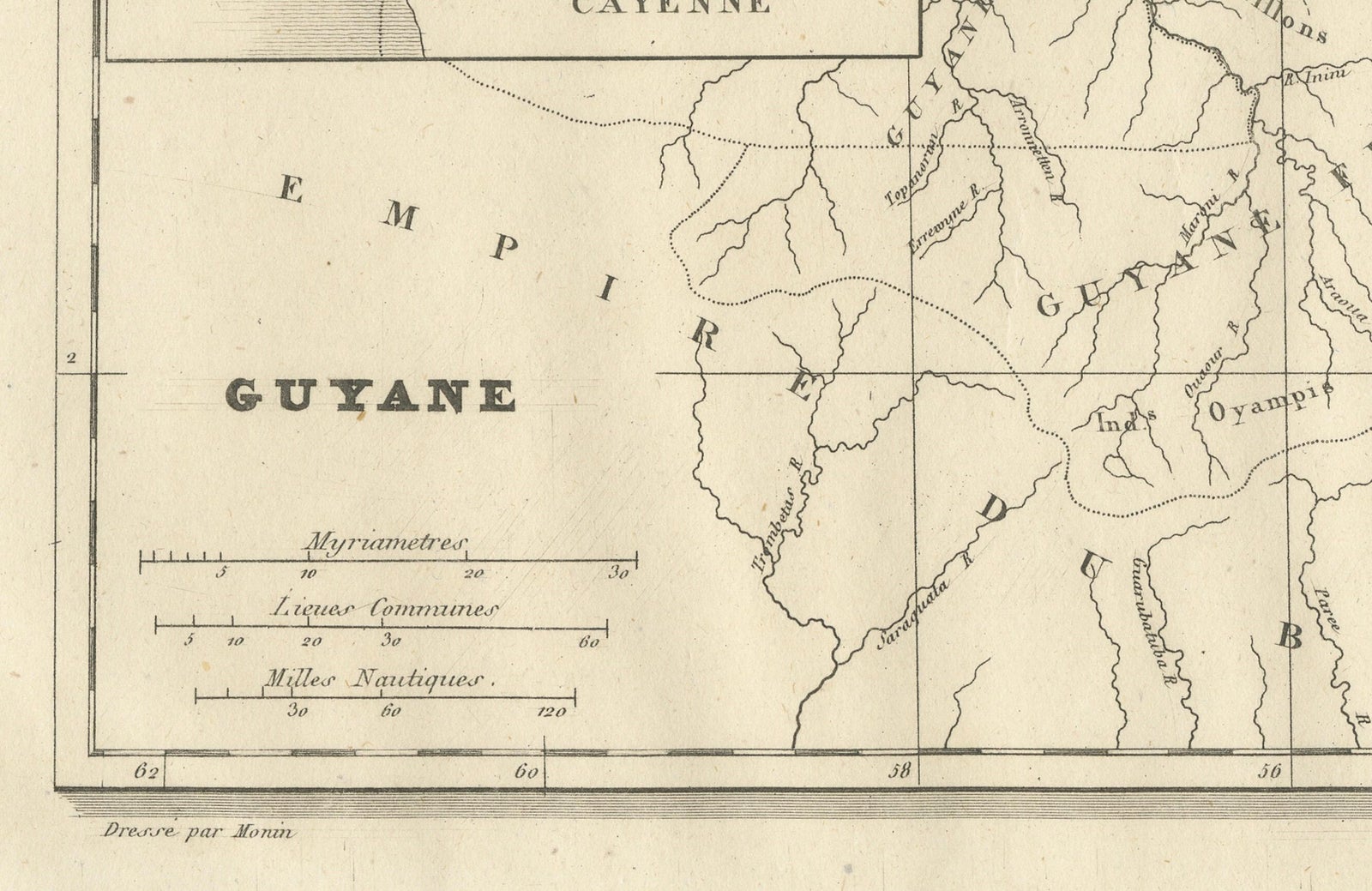
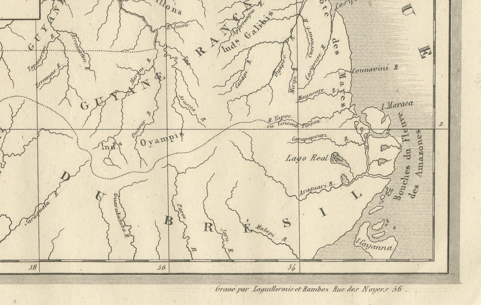
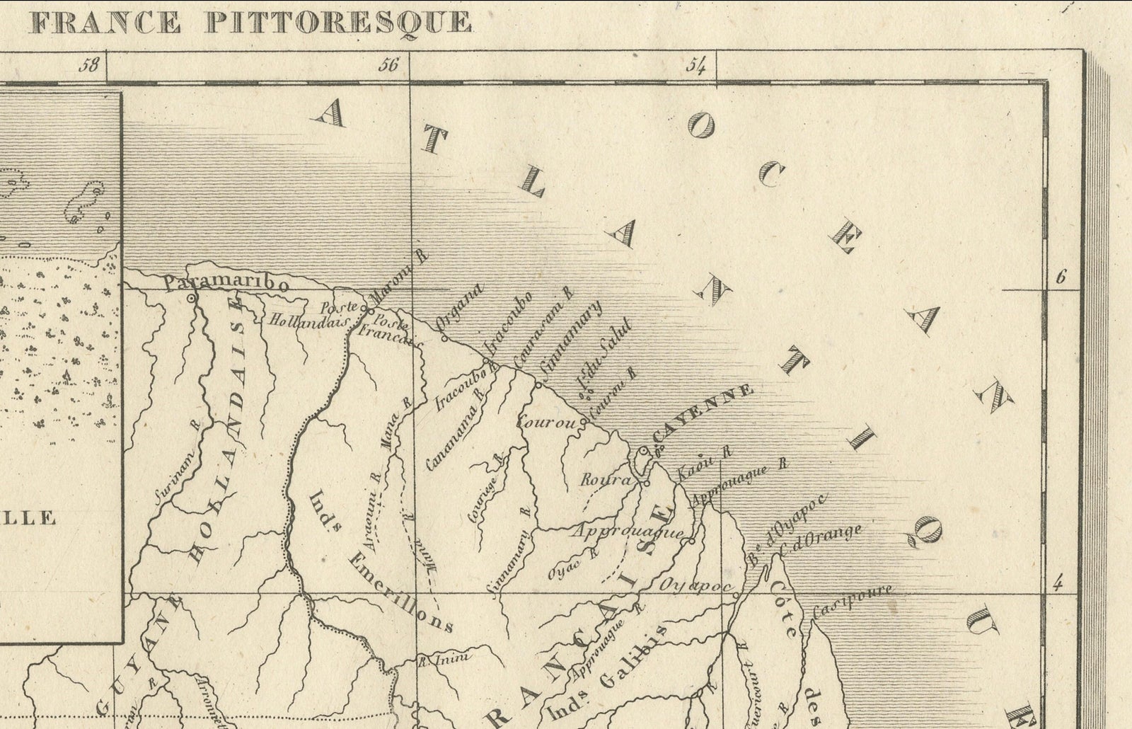
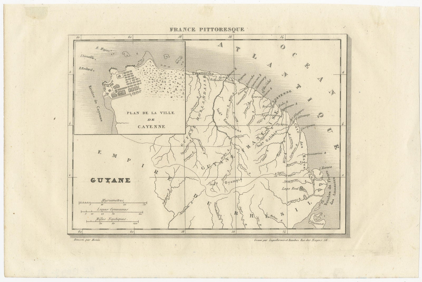
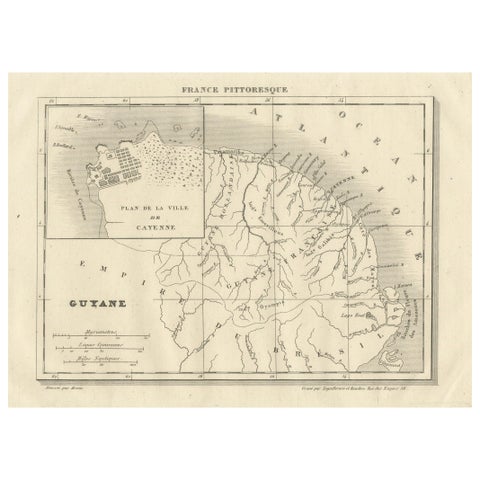
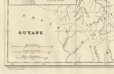
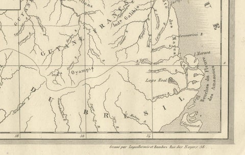
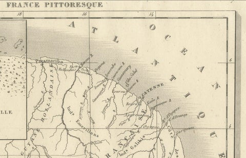
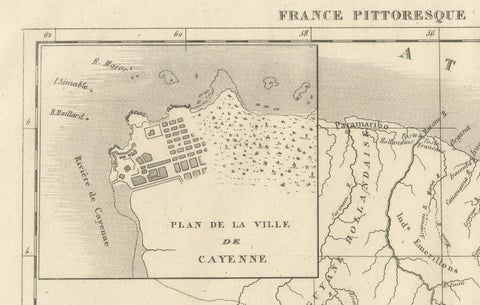
French Guiana and its neighbors on a small engraved map titled "Guyane" from the France Pittoresque series, headed "France Pittoresque" at the top of the sheet. The imprint reads "Dirigé par Monin" at the lower left and gives an engraver's address at the lower right as "Rue des Noyers 56", Paris. The map is printed in black, with light shading along the coast.
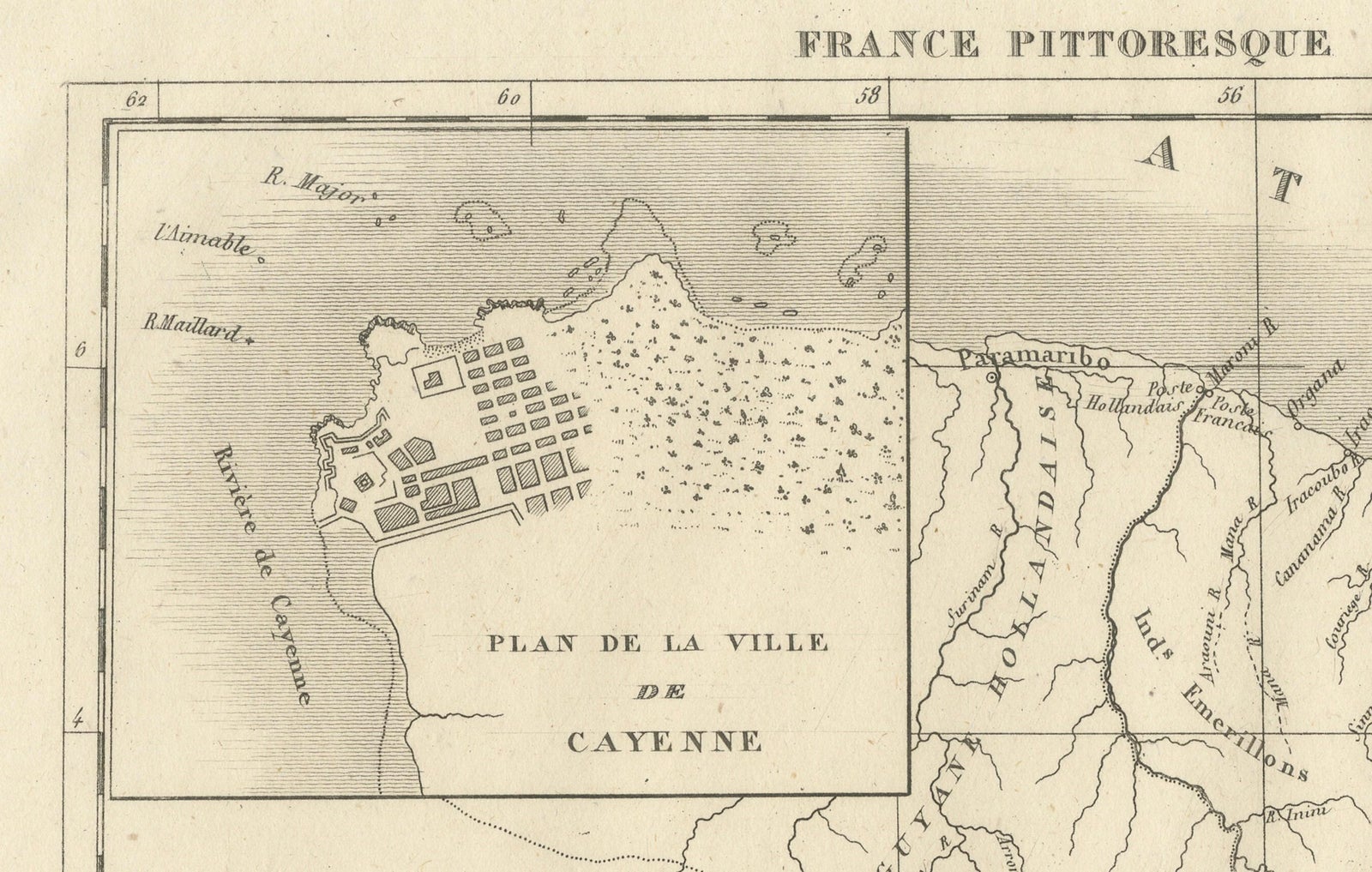
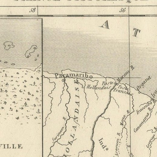
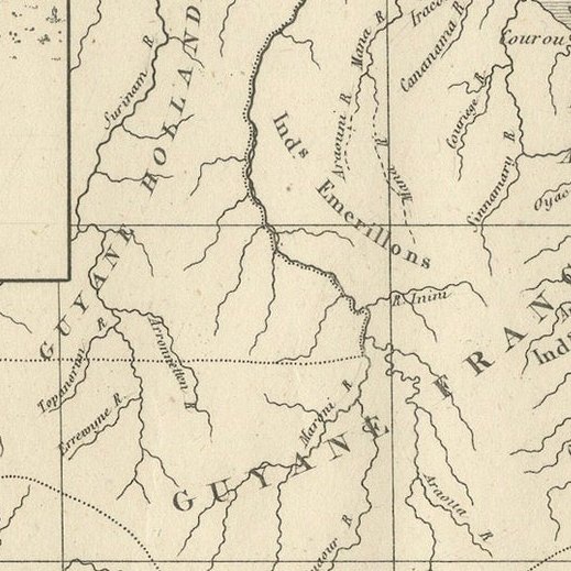
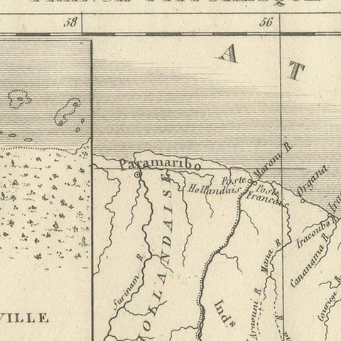
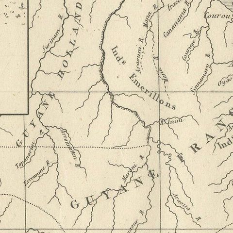
The map covers the coast of the Guianas from the Amazon mouths ("Bouches des Amazones") at the lower right to the Dutch colony in the west. "Guyane Hollandaise" lies to the west, "Guyane Française" fills the center, and "Empire du Brésil" is lettered across the south and southwest, a heading that dates the sheet to the years when Brazil was an empire. "Océan Atlantique" runs along the northern coast. Rivers are drawn in some detail, among them the Maroni, the Oyapock and the many short streams of the coast, with settlements and Cayenne marked on the shore. A framed inset at the upper left gives the "Plan de la Ville de Cayenne", showing its gridded streets and waterfront. Three scales at the lower left are given in myriameters, common leagues and nautical miles.
The sheet comes from a popular illustrated survey of France and its colonies, and shows Guiana as it was understood in the middle of the nineteenth century.