Maps
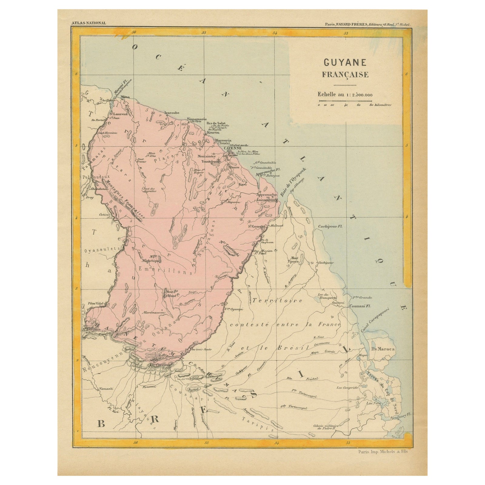
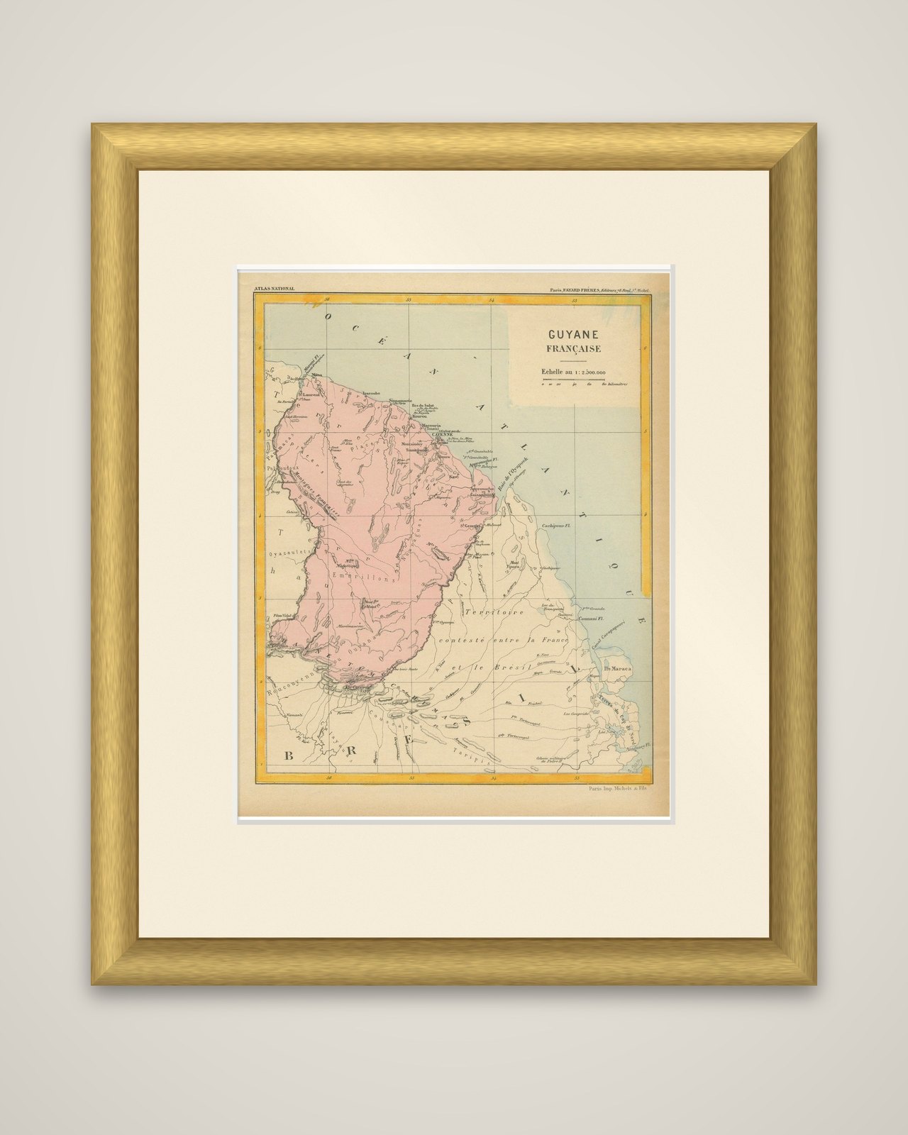
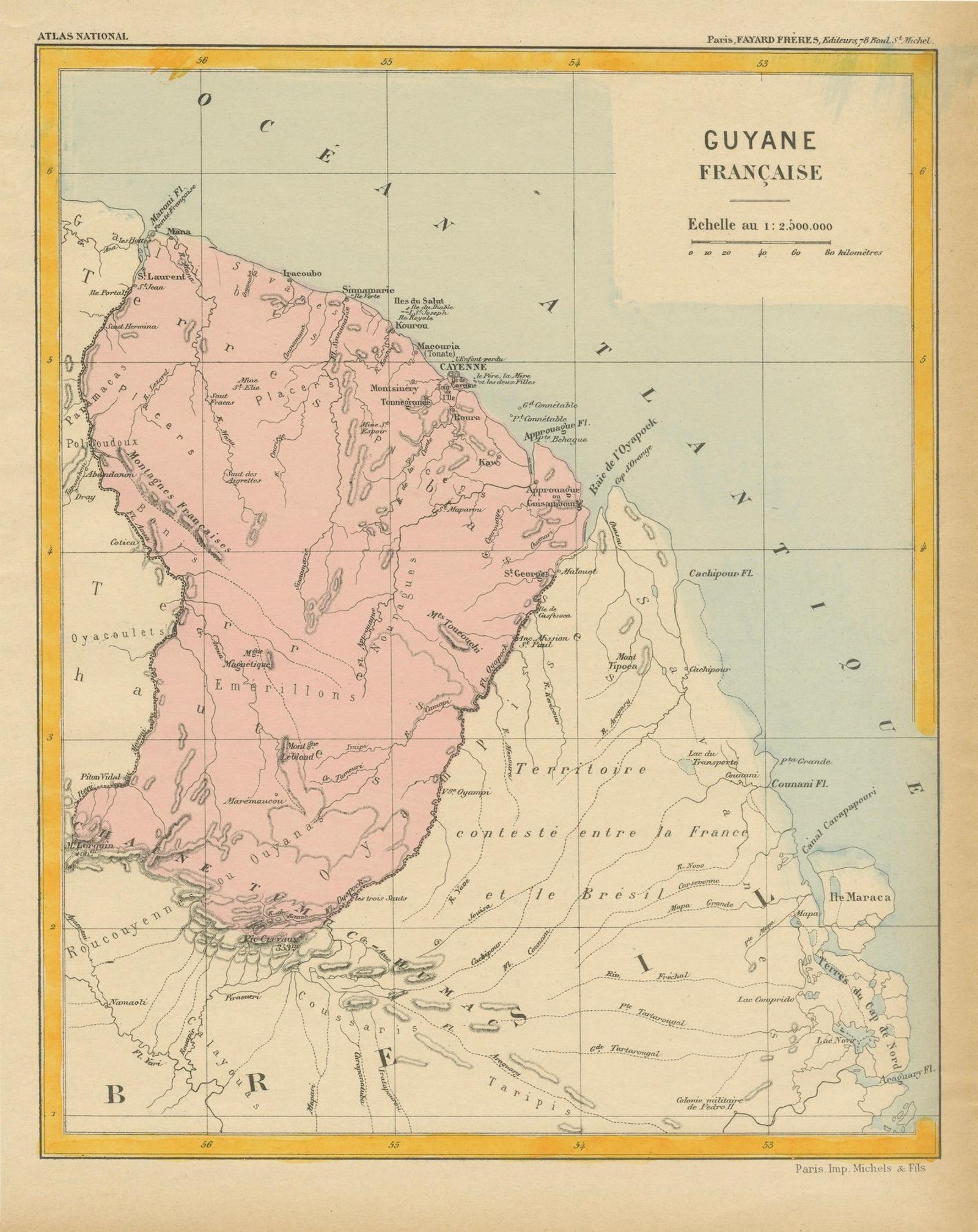
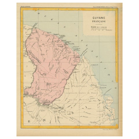
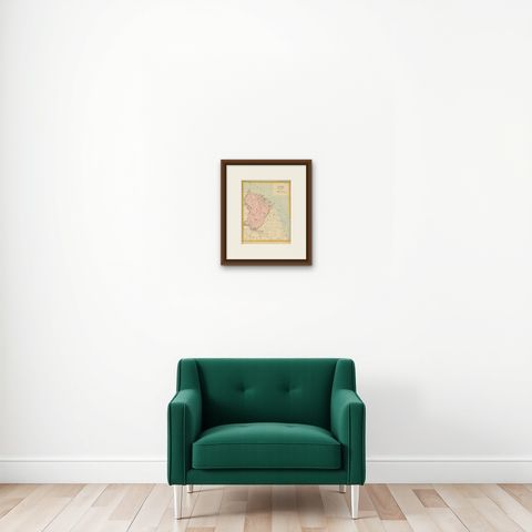
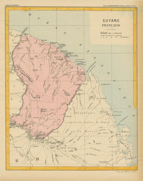
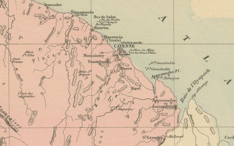
Map of French Guiana: 19th Century Atlas National Depiction of Guyane Française
$135
€120 · dollar price at today's exchange rate
Buy now Ask a question
Shipping to the United States: $51 standard, $73 express, insured and tracked.
- Kind
- Maps
- Size
- 29 × 23 cm (11.4 × 9.1 in)
- Places
- The Guianas
- Reference
- BG-13093-30
What the condition grades mean
- Excellent
- Bright and clean, with no faults worth mentioning.
- Very good
- Only light signs of age, such as faint toning.
- Good
- Normal signs of age for a sheet of this period: toning, some foxing, small marks or neat old repairs.
- Fair
- Clear faults such as staining, tears or repairs, priced to match.
Every fault we see is written in the condition note, and the whole sheet is shown uncropped in the photos.
Guaranteed original. This is an original of the period stated, not a later reproduction or print-on-demand copy. If it is ever shown to be otherwise, we refund you in full.
Shipping to the United States. Sent from our gallery in Langweer, the Netherlands, flat between boards or rolled in a tube, and fully insured.
Delivery and import charges.
About this piece
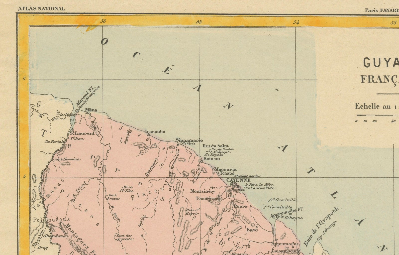
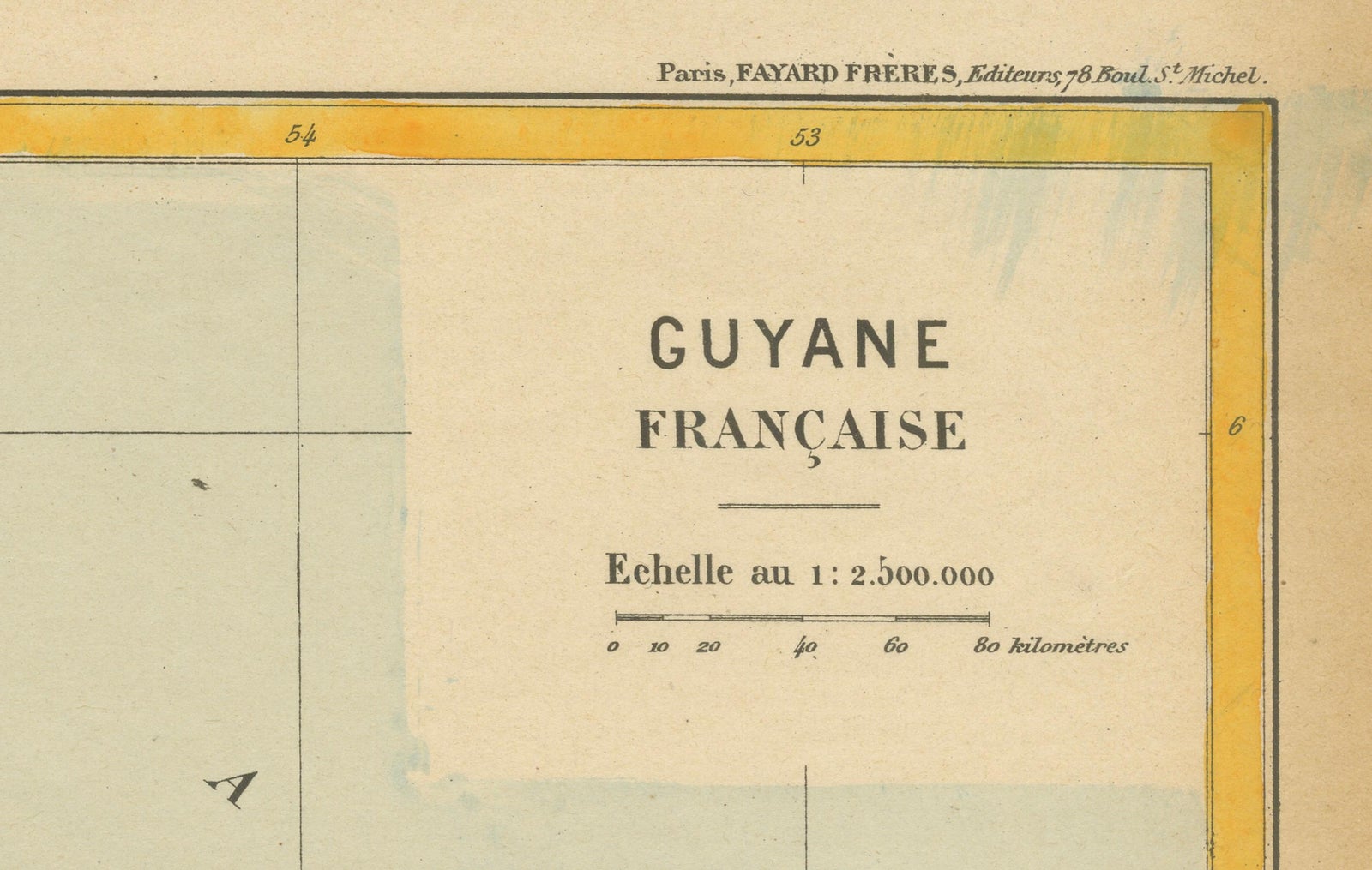
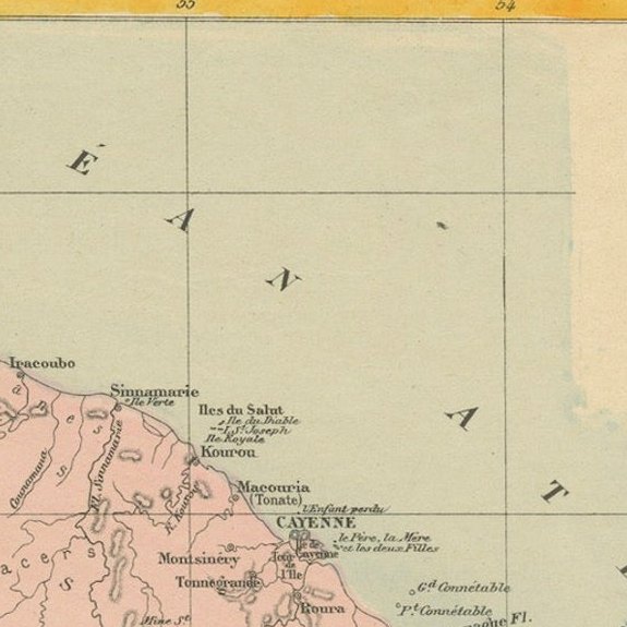
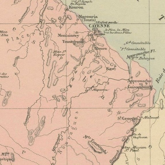
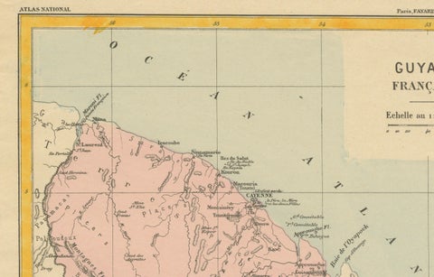
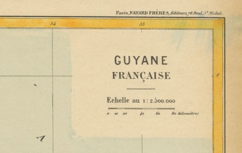
French Guiana, shown on a color-printed sheet titled "Guyane Française" from the Atlas National, with the publisher's line "Fayard Frères, éditeurs" at the head of the sheet. The map is a lithographed late-nineteenth-century atlas plate in the pink, cream and yellow tones of its period, bordered by a broad yellow frame.
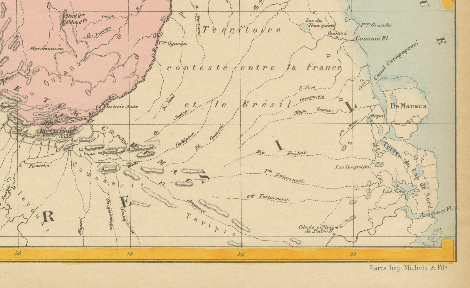
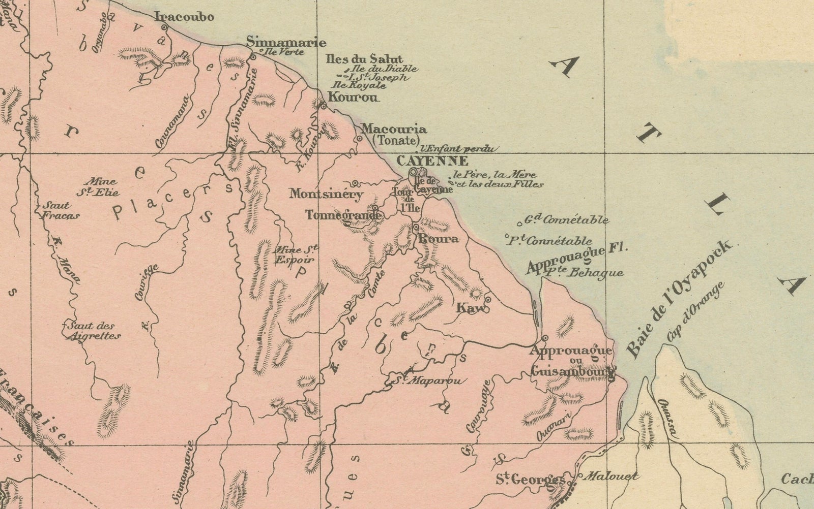
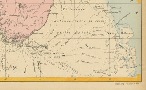
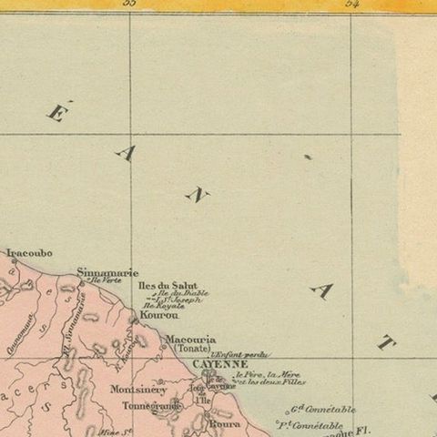
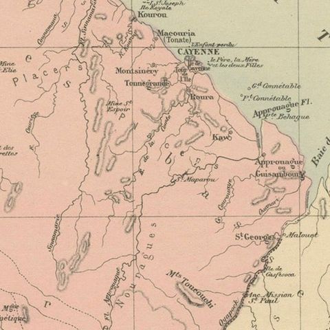
French Guiana is tinted pink and fills the left and center of the sheet, its Atlantic coast running up to the top and curving south-east. The coast is dotted with settlements, with Cayenne marked on its island at the center of the shoreline, and with rivers entering the sea. Rivers run inland through the forested interior, which is mostly blank apart from a few station names. The western boundary is formed by the Maroni, and at the right the Oyapock marks the line with Brazil. The cream area to the south-east beyond it is lettered "Territoire contesté entre la France et le Brésil", with the island of Maraca near the right edge. "Océan Atlantique" is lettered across the sea at the top, and a scale bar sits in the title panel.
The disputed territory on the map was settled by arbitration in 1900 in Brazil's favor, so the sheet predates that decision.