1820 · Maps
Map of French Guiana, Suriname and Cayenne: Plan from Petit Atlas National, 1820
$180
€160 · dollar price at today's exchange rate
Buy now Ask a question
Shipping to the United States: $51 standard, $73 express, insured and tracked.
- Date
- 1820
- Kind
- Maps
- Size
- 24 × 31.5 cm (9.4 × 12.4 in)
- Period
- The Early Republic
- Places
- The Guianas
- Reference
- BG-13093-26
What the condition grades mean
- Excellent
- Bright and clean, with no faults worth mentioning.
- Very good
- Only light signs of age, such as faint toning.
- Good
- Normal signs of age for a sheet of this period: toning, some foxing, small marks or neat old repairs.
- Fair
- Clear faults such as staining, tears or repairs, priced to match.
Every fault we see is written in the condition note, and the whole sheet is shown uncropped in the photos.
Guaranteed original. This is an original of the period stated, not a later reproduction or print-on-demand copy. If it is ever shown to be otherwise, we refund you in full.
Shipping to the United States. Sent from our gallery in Langweer, the Netherlands, flat between boards or rolled in a tube, and fully insured.
Delivery and import charges.
About this piece
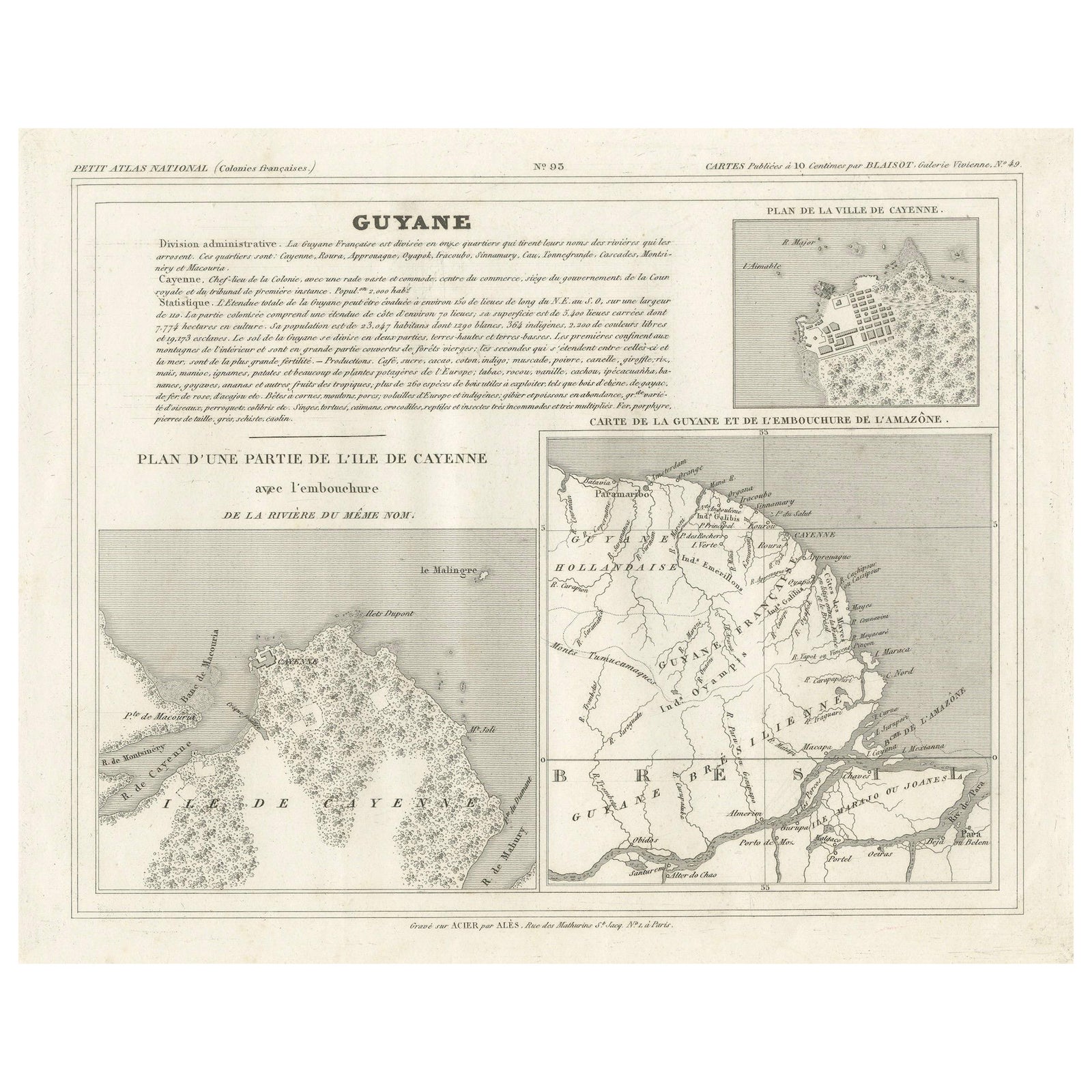
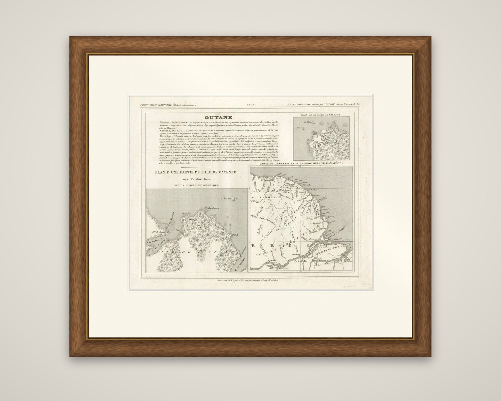
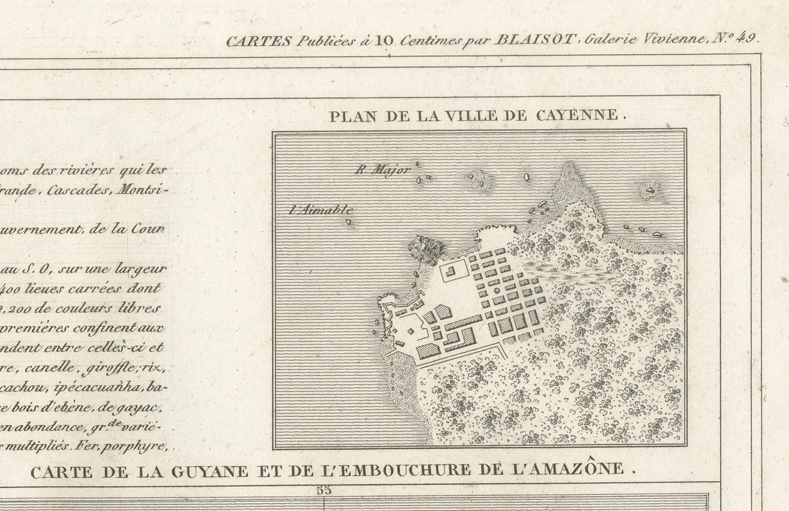
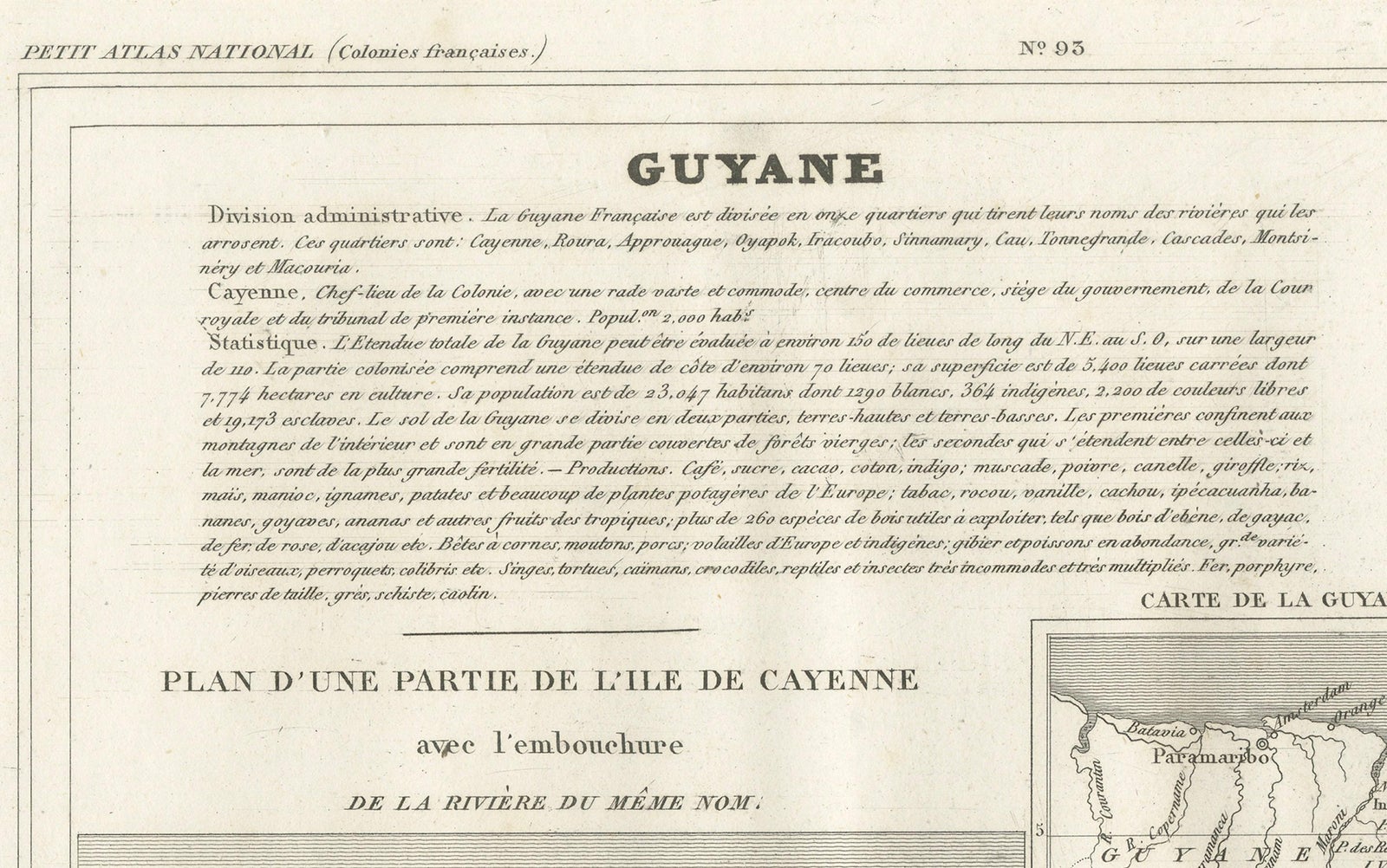
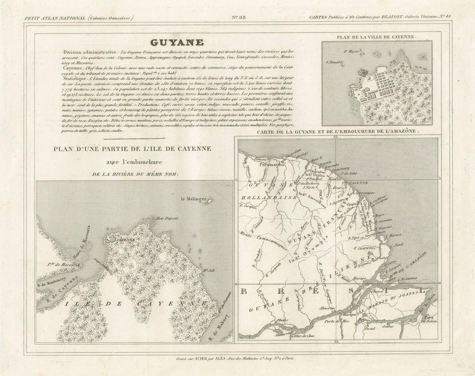
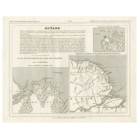
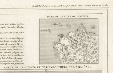
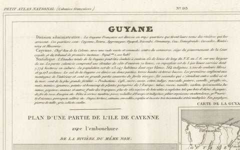
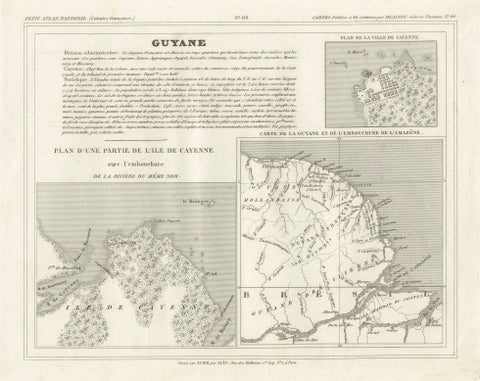
French Guiana on a single engraved sheet from the Petit Atlas National (Colonies françaises), circa 1820, titled "Guyane". The imprint reads "Cartes publiées à 10 centimes par Blaisot, galerie Vivienne" at the head and "Gravé sur acier par Alès, rue des Mathurins, à Paris" at the foot. The sheet is an original steel engraving printed in black.
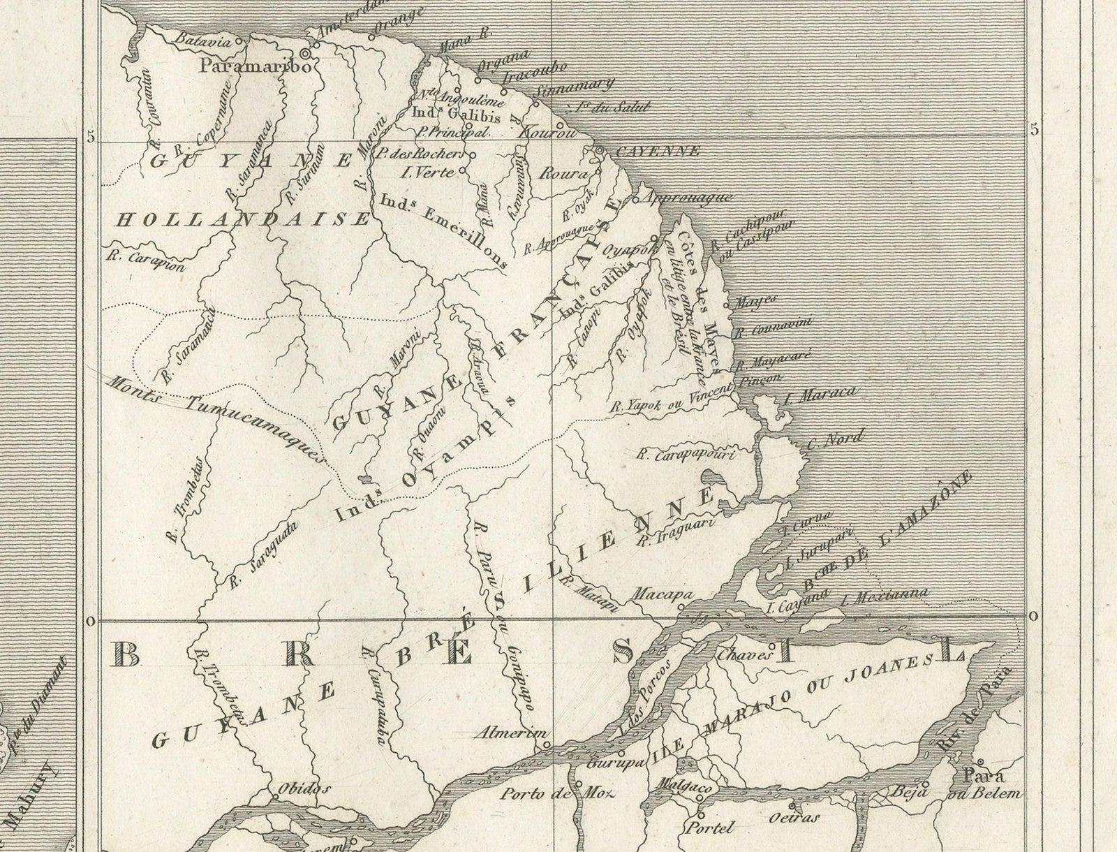
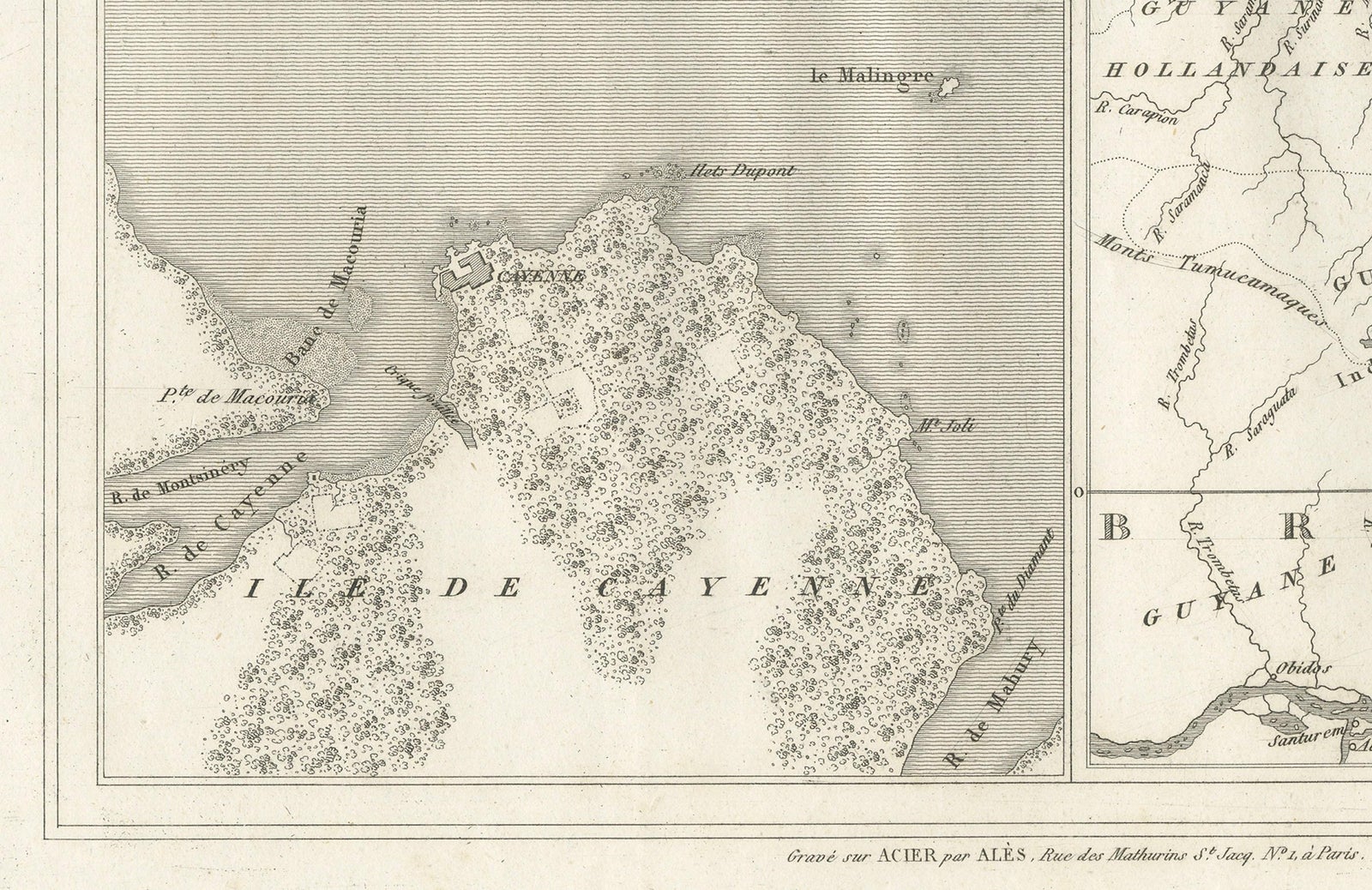
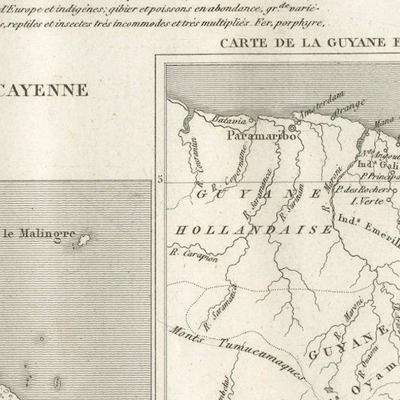
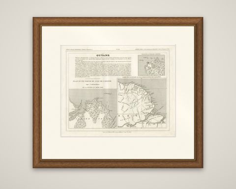
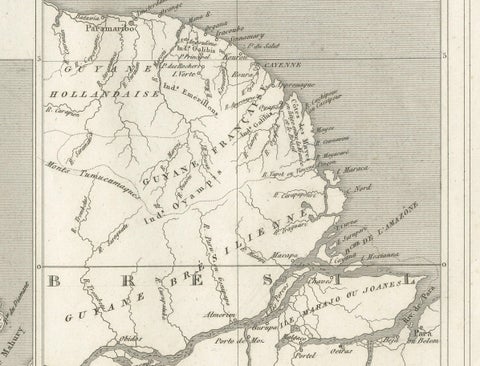
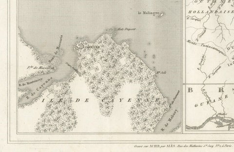
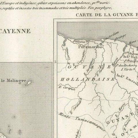
Three maps share the page. At the lower left, the "Plan d'une partie de l'Île de Cayenne avec l'embouchure de la rivière du même nom" shows the island of Cayenne in stippled texture, cut by the river mouth. At the upper right, a small "Plan de la Ville de Cayenne" gives the street grid of the town and its fort on the waterfront. At the lower right, the "Carte de la Guyane et de l'embouchure de l'Amazone" shows the whole coast, with "Guyane Hollandaise" to the west, "Guyane Française" at the center, and Brazil ("Brésil") and the Amazon mouth to the south.
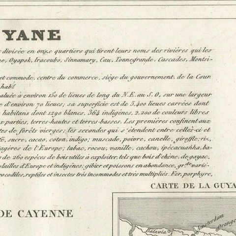
The upper left is filled by a printed text block headed "Guyane". It sets out the administrative division of the colony into its quarters, named after rivers, and gives statistics on its extent, population and products.