A Bartele Gallery CollectionLangweer · Jakarta

American Maps & Prints
Original antique maps, charts & prints of the Americas ★ Originals only


Home › Latin America › Brazil
Original 1947 Map of Brazil by Charles Burki – Dutch Colonial Graphic Design
1947 · Maps

Original 1947 Map of Brazil by Charles Burki – Dutch Colonial Graphic Design

$695
€620 · dollar price at today's exchange rate

Buy now Ask a question

Shipping to the United States: $51 standard, $73 express, insured and tracked.

Date
1947
Kind
Maps
Size
31.5 × 22.5 cm (12.4 × 8.9 in)
Condition
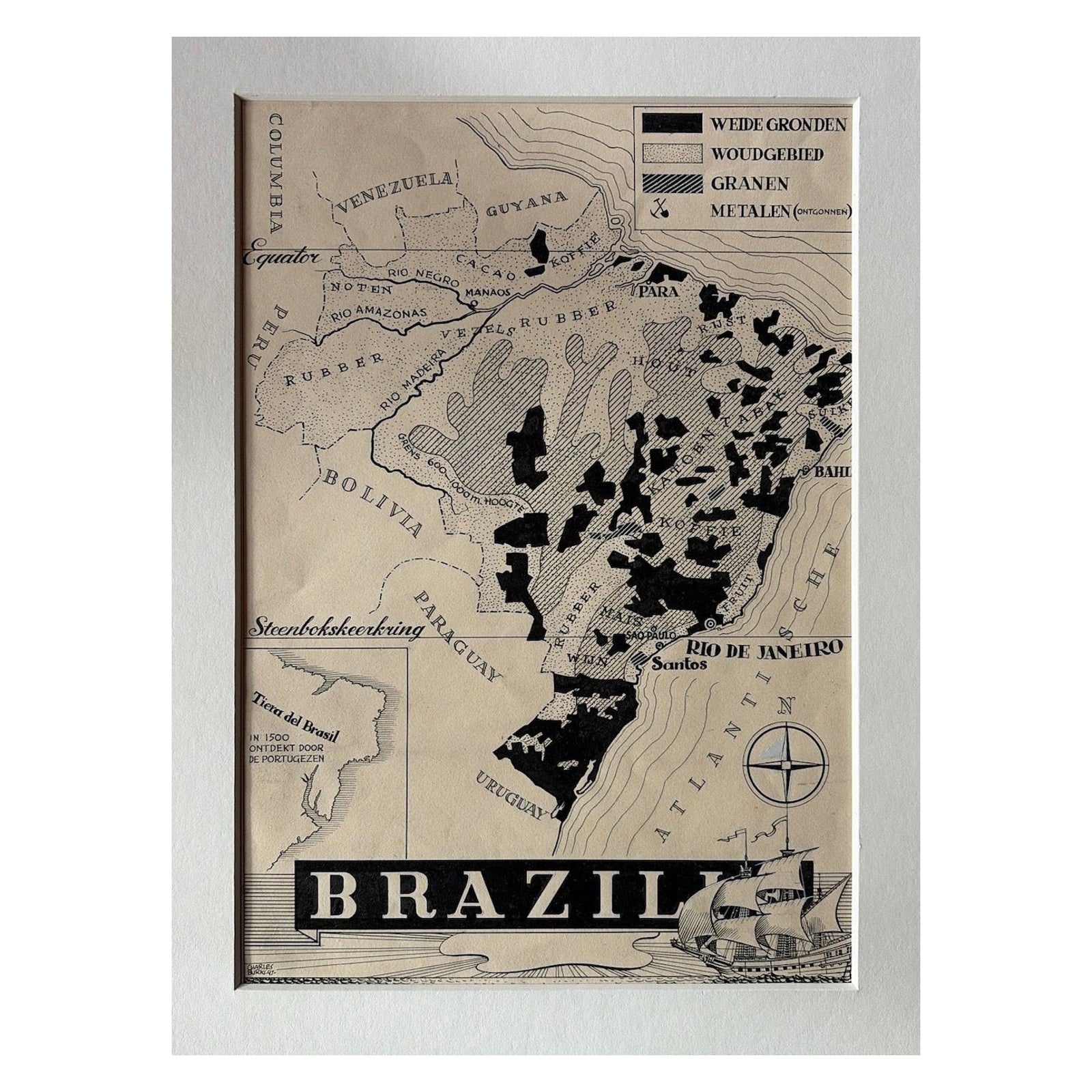
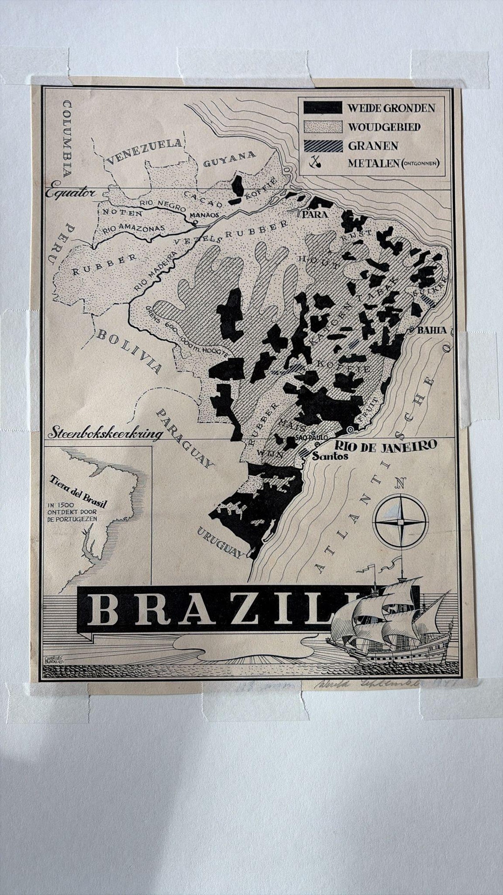
Good. Condition report: Very good condition with minor toning consistent with age, small traces of mounting tape on margins, and light handling marks. The printed surface remains crisp, with rich blacks and clean lines.
Period
The Twentieth Century
Places
Brazil
Reference
BG-Bea34
What the condition grades mean
Excellent
Bright and clean, with no faults worth mentioning.
Very good
Only light signs of age, such as faint toning.
Good
Normal signs of age for a sheet of this period: toning, some foxing, small marks or neat old repairs.
Fair
Clear faults such as staining, tears or repairs, priced to match.

Every fault we see is written in the condition note, and the whole sheet is shown uncropped in the photos.

Guaranteed original. This is an original of the period stated, not a later reproduction or print-on-demand copy. If it is ever shown to be otherwise, we refund you in full.
Shipping to the United States. Sent from our gallery in Langweer, the Netherlands, flat between boards or rolled in a tube, and fully insured. Delivery and import charges.


About this piece

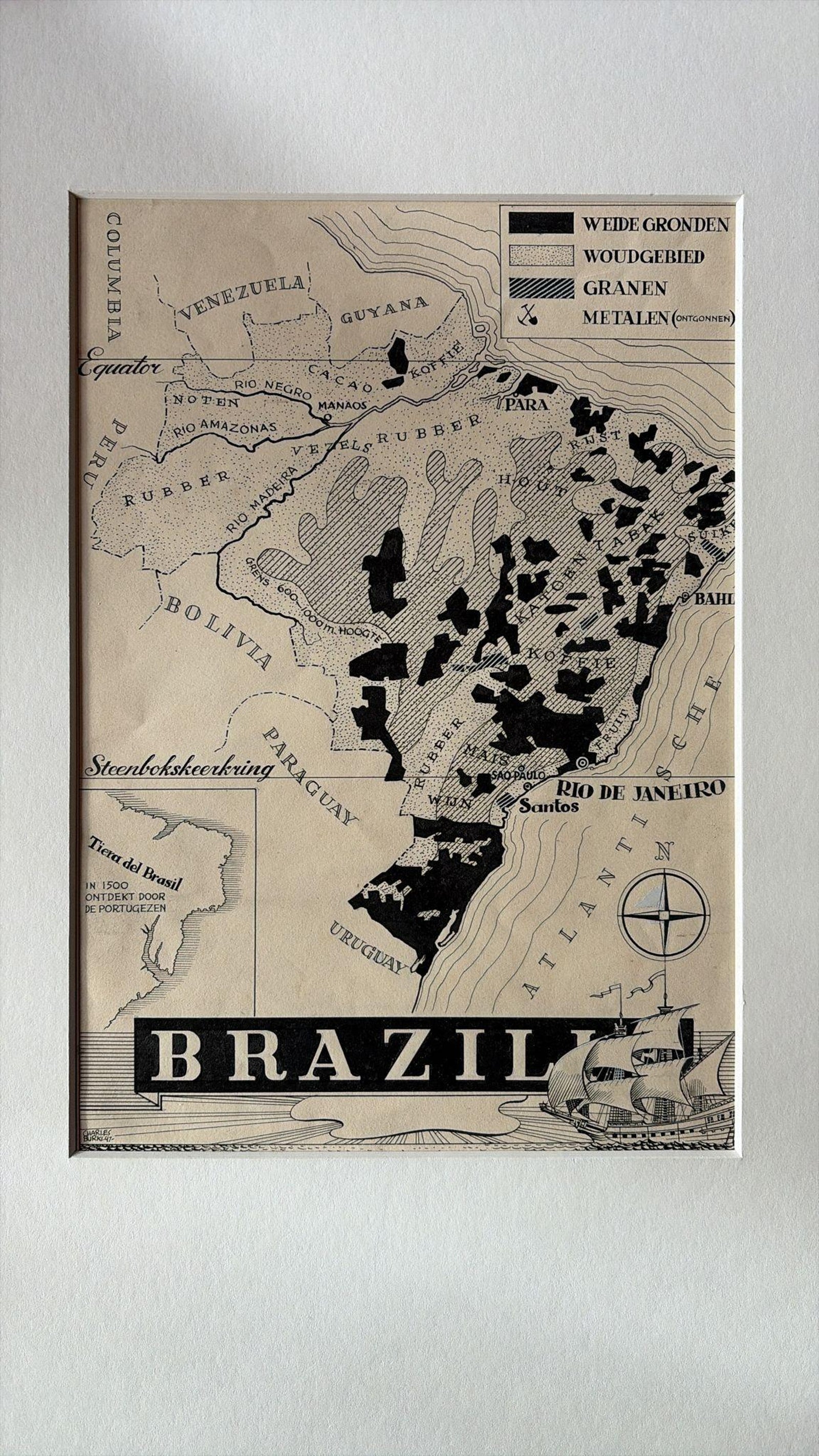
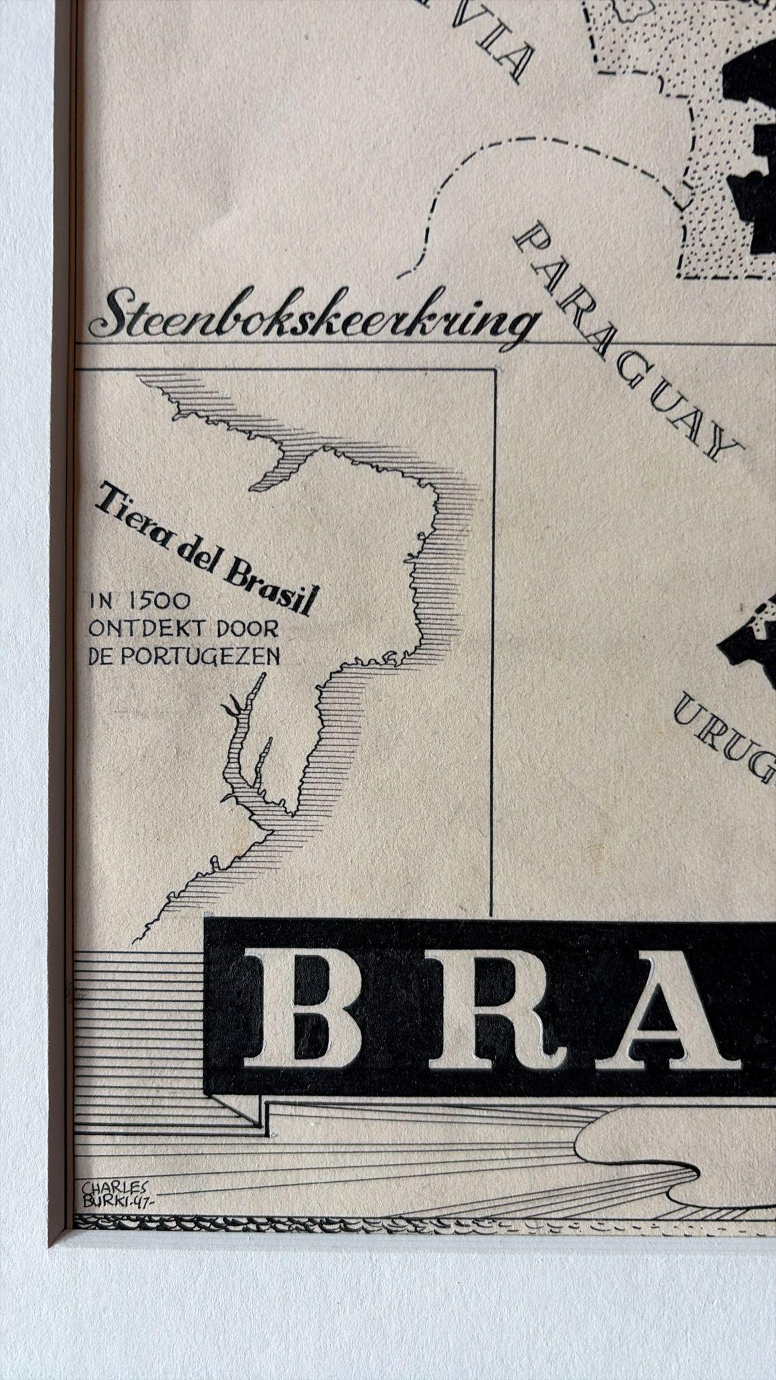
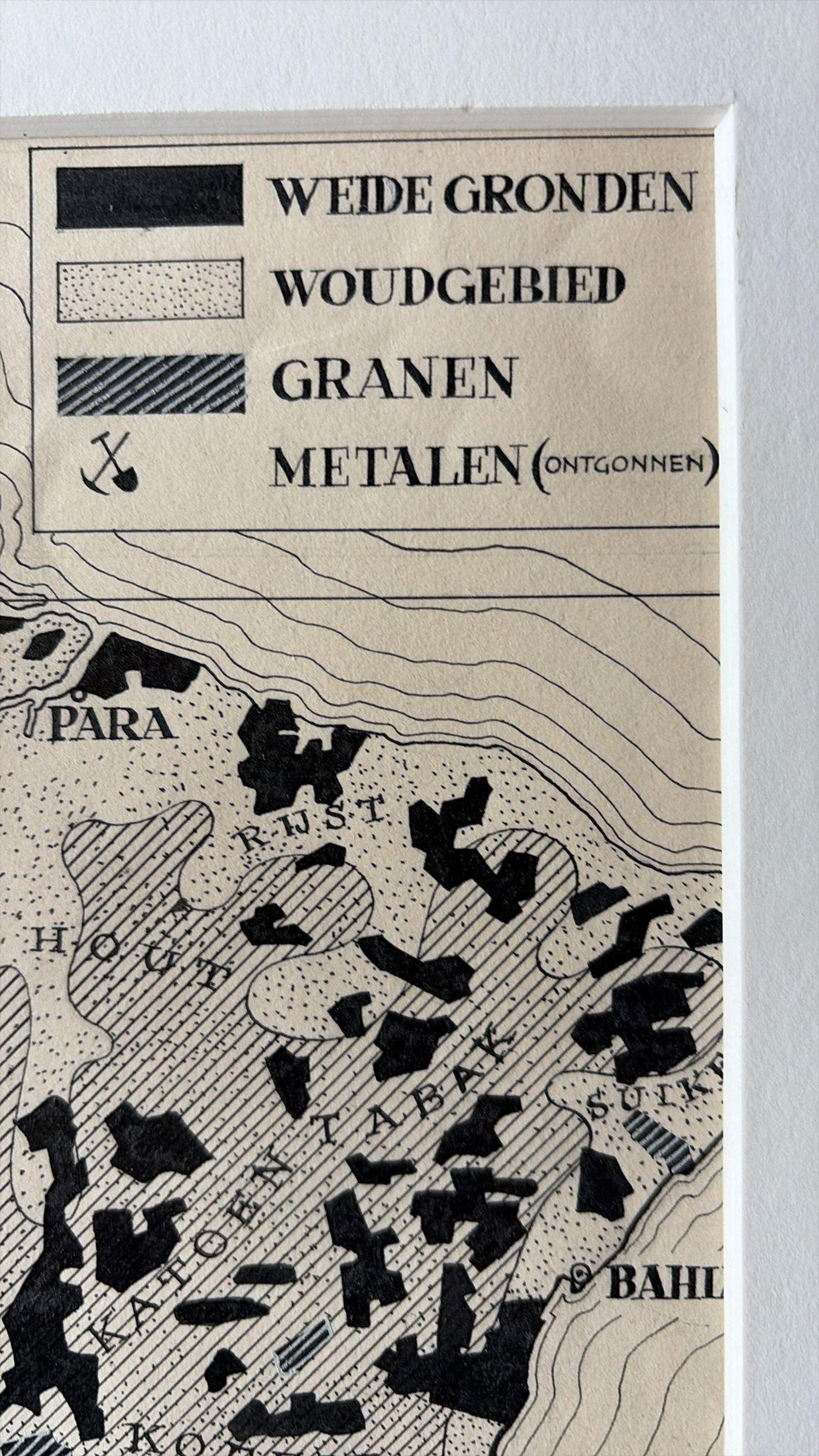
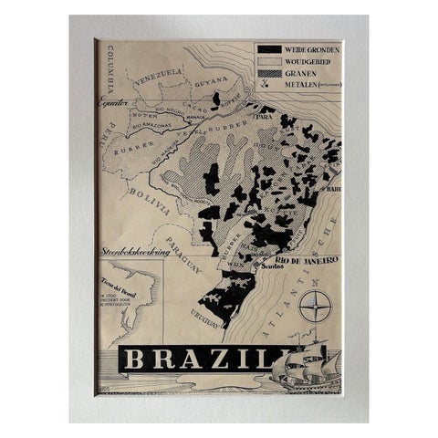
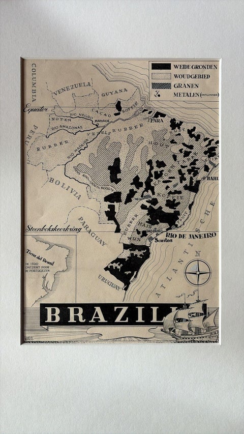
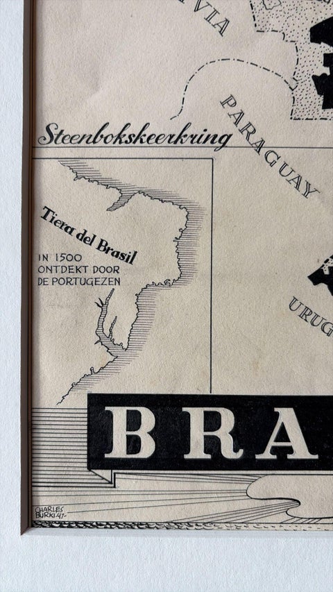
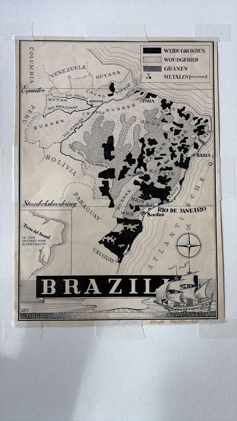
Brazil as an original pen-and-ink map by the Dutch artist Charles Burki (1909-1994), signed and dated 1947, drawn in black ink on cream paper. The lettering is mostly Dutch, and the sheet was made as finished artwork for an educational or commercial publication.

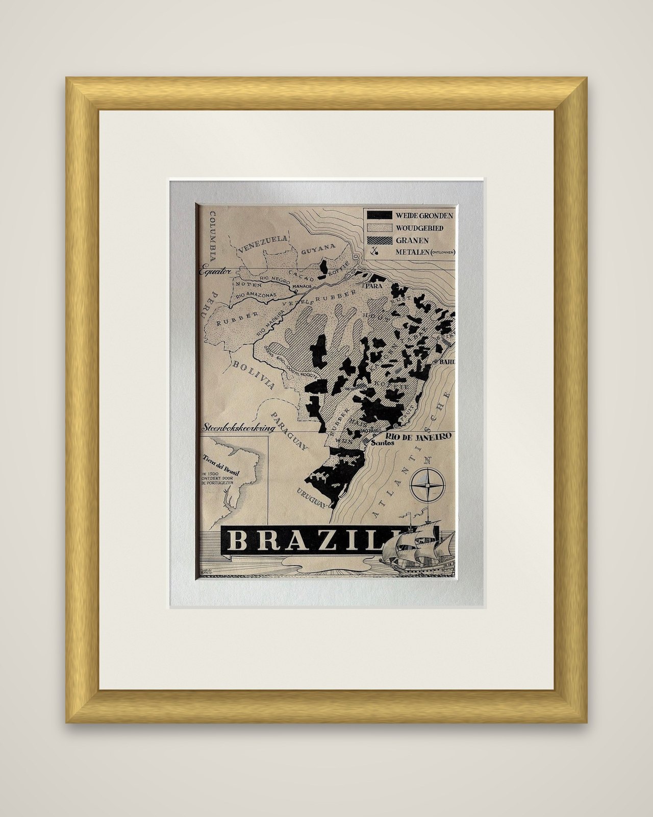
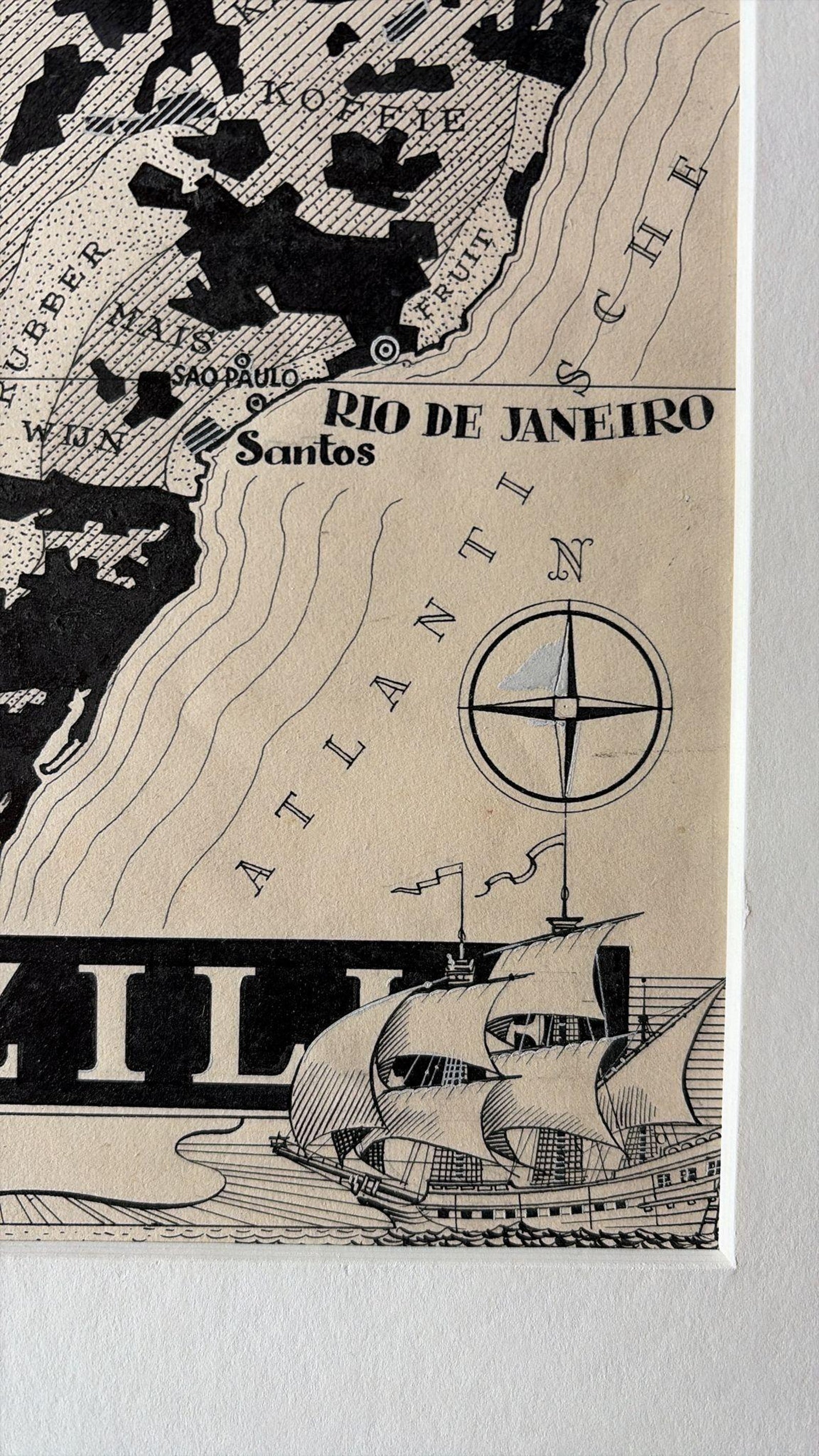
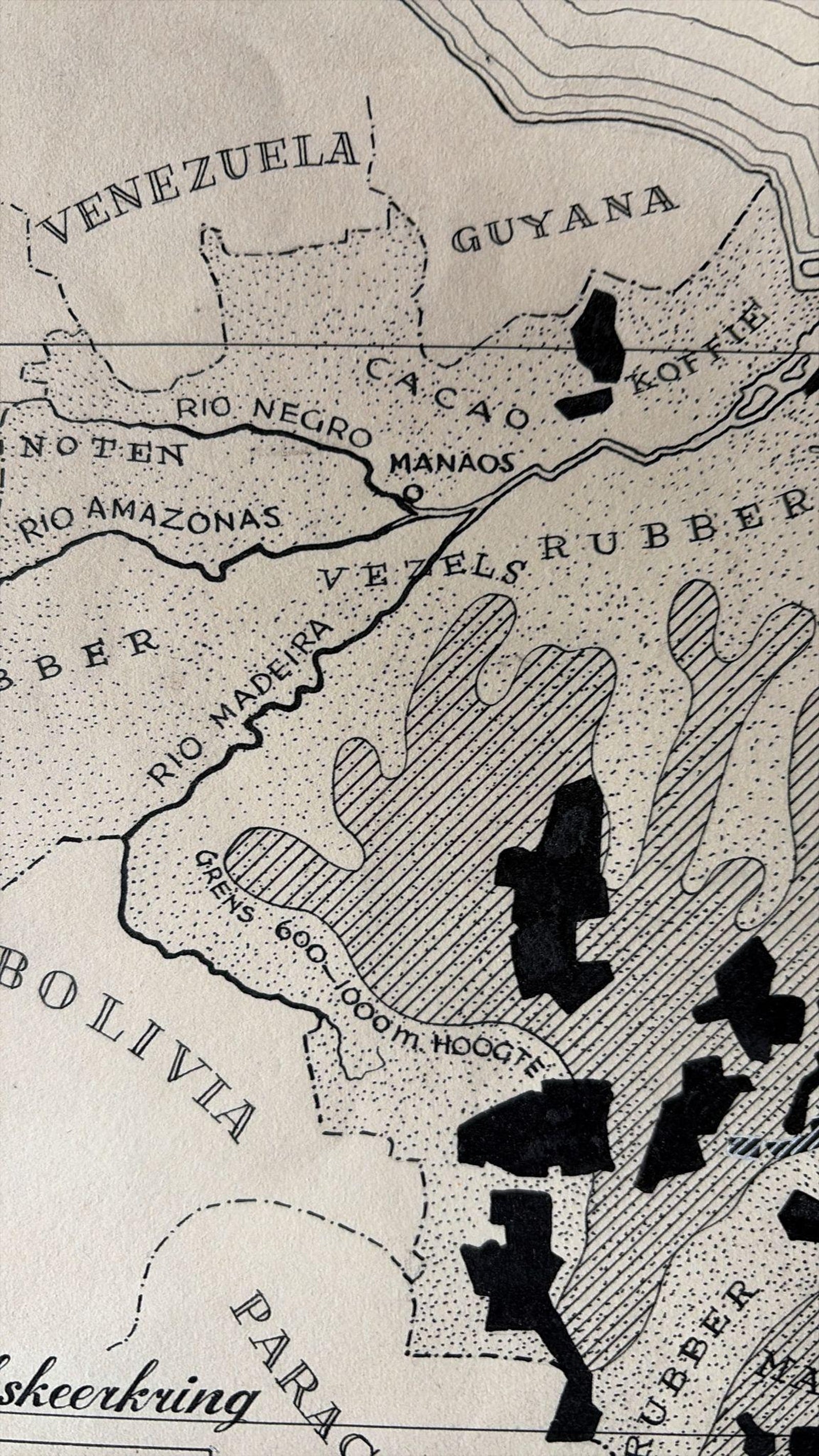
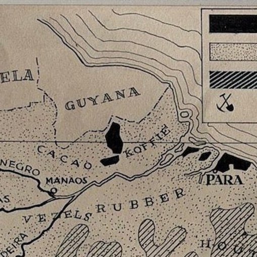
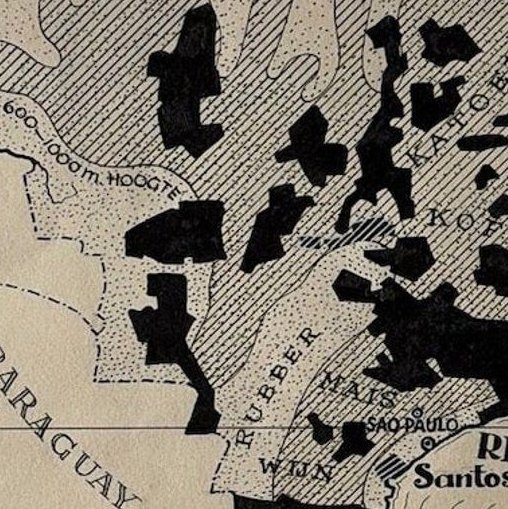
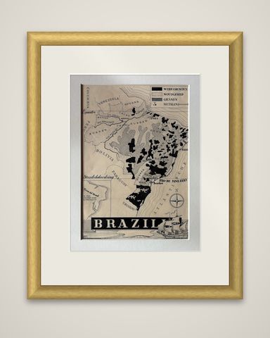
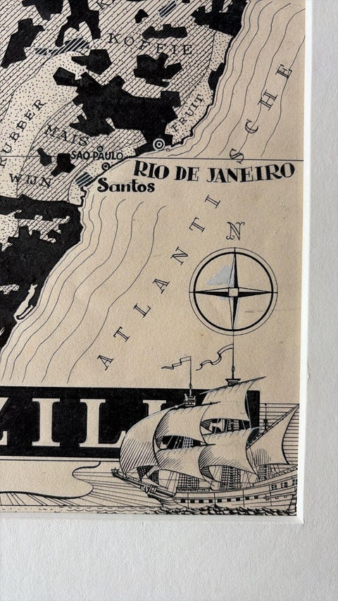
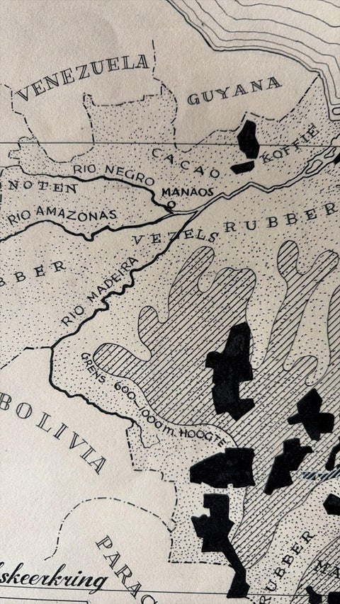
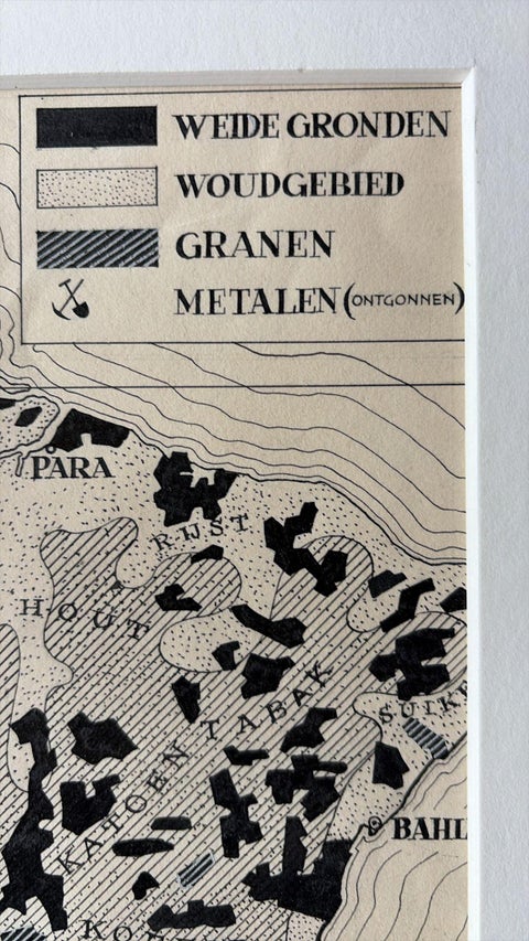
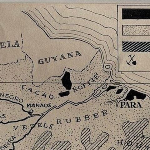
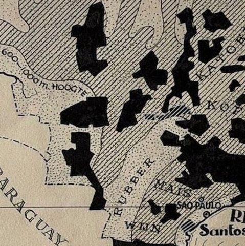
The country is shown in strong black-and-white contrasts, with a boxed legend at the top right that distinguishes "Weide Gronden" (pasture), "Woudgebied" (forest), "Granen" (grain) and "Metalen (ontgonnen)" (mined metals). Solid black patches mark the pasture lands across the south and east, while stippling and hatching describe forest and grain zones. Products such as rubber, coffee, cacao, wine and maize are lettered across the regions. The Amazon, Rio Negro and Rio Madeira are drawn, and Manaos, Para, Sao Paulo, Santos and Rio de Janeiro are named, along with the neighboring countries and the Steenbokskeerkring (Tropic of Capricorn) and Equator. A small inset at lower left carries the note "Tierra del Brasil, in 1500 ontdekt door de Portugeezen". A bold block title "BRAZIL" runs along the foot, beside a compass rose and a square-rigged ship at the lower right.

Burki trained as an architect and was born in the Dutch East Indies, and his postwar maps for Dutch publishers combine economic information with strong graphic design.

★

You might also like


Antique Map of the West Coast of South America with Costume Figures, circa 1860
circa 1860
$610
Antique Map of the Brazilian Coast with Rio de Janeiro Province, circa 1860
circa 1860
$325
Antique Map of South America with the Falklands and South Georgia, 1858
1858
$270
Antique Map of South America, with the Amazon Basin, Rand McNally, 1899
1899 · Rand McNally
$330
Antique Map of Central America, with Proposed Nicaragua Canal, 1899
1899 · Rand McNally
$385
Antique Hand-Colored Map of Chili by Willem Blaeu, 1658
1658 · Blaeu
$1,435
Map of South America 1792 by Elwe – Hand-Colored Antique Dutch Engraving
1792 · Guillaume Delisle
$1,905
Antique Map of South America ‘North’ by A.K. Johnston, 1865
1865 · W. & A. K. Johnston
$310

Ask about this print

We reply by email, usually within one working day.

Your favorites

Saved in this browser. Email the list to yourself to keep it on any device.

We use your email to send this list and, only if you tick the box and confirm, for occasional new arrivals. Every email has an unsubscribe link. Bartele Gallery, the Netherlands.

Your bag

Total

Each piece is bought on its own; shipping is added at checkout.





