1948 · Maps
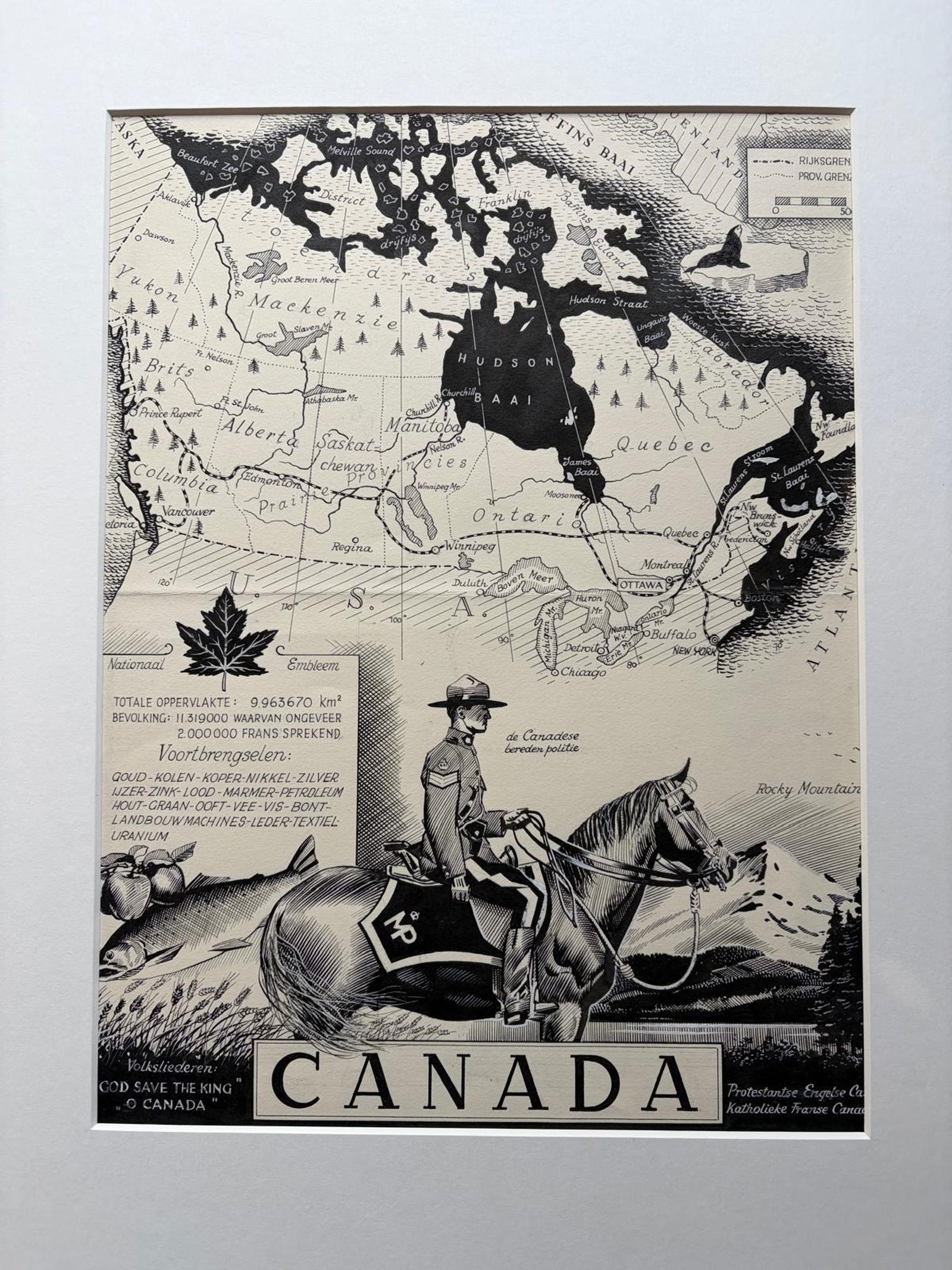
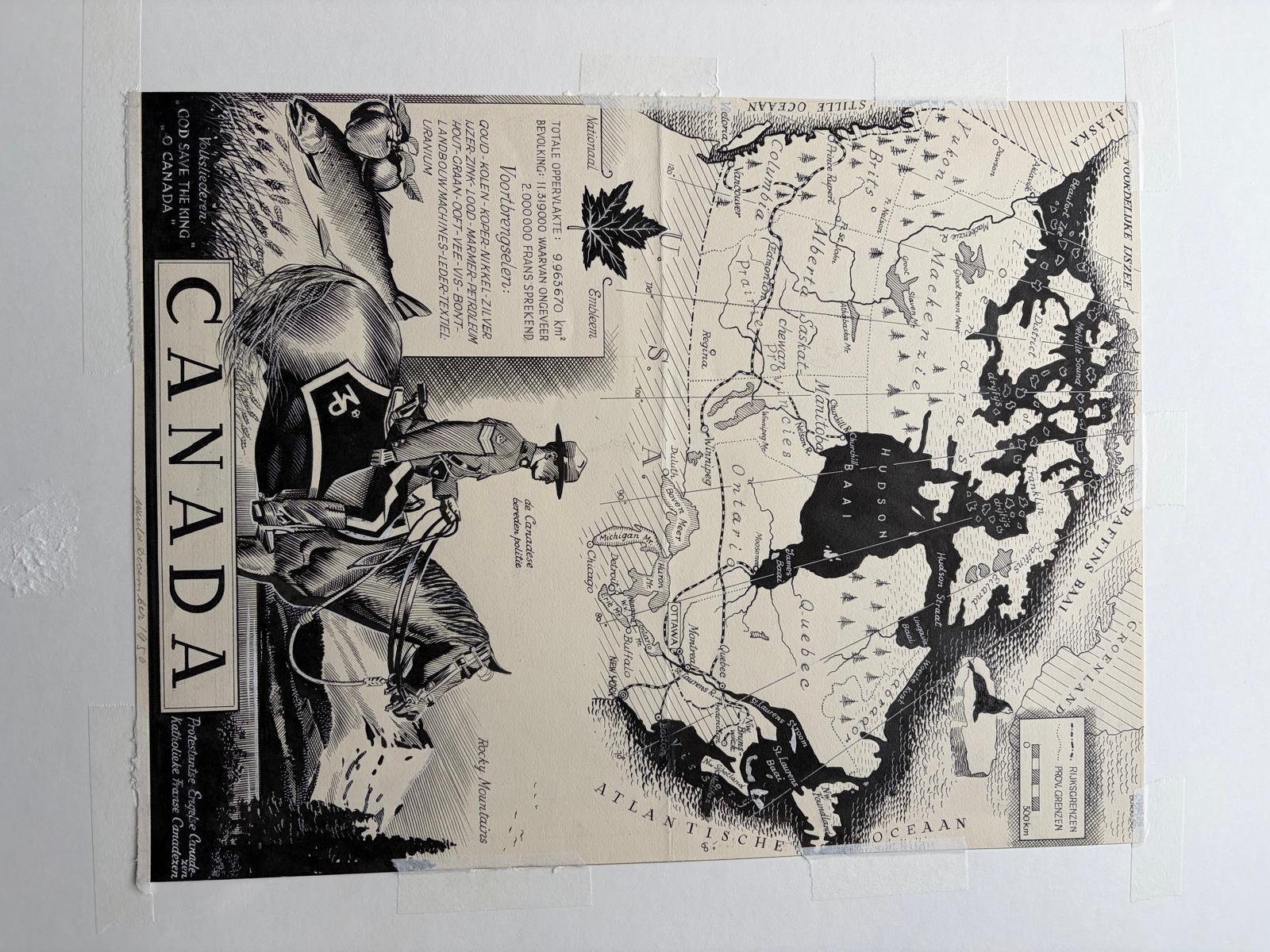
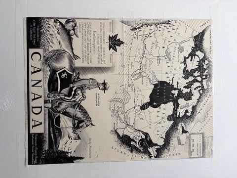
Original 1948 Map of Canada by Charles Burki – Art Deco Mountie Illustration
$650
€580 · dollar price at today's exchange rate
Buy now Ask a question
Shipping to the United States: $51 standard, $73 express, insured and tracked.
- Date
- 1948
- Kind
- Maps
- Size
- 37.5 × 26.5 cm (14.8 × 10.4 in)
- Condition
- Good. Condition report: Very good condition with light toning and faint handling traces consistent with age. Minor mounting tape visible on the edges. The black ink remains bold and even.
- Period
- The Twentieth Century
- Places
- Canada
- Reference
- BG-Bea36
What the condition grades mean
- Excellent
- Bright and clean, with no faults worth mentioning.
- Very good
- Only light signs of age, such as faint toning.
- Good
- Normal signs of age for a sheet of this period: toning, some foxing, small marks or neat old repairs.
- Fair
- Clear faults such as staining, tears or repairs, priced to match.
Every fault we see is written in the condition note, and the whole sheet is shown uncropped in the photos.
Guaranteed original. This is an original of the period stated, not a later reproduction or print-on-demand copy. If it is ever shown to be otherwise, we refund you in full.
Shipping to the United States. Sent from our gallery in Langweer, the Netherlands, flat between boards or rolled in a tube, and fully insured.
Delivery and import charges.
About this piece
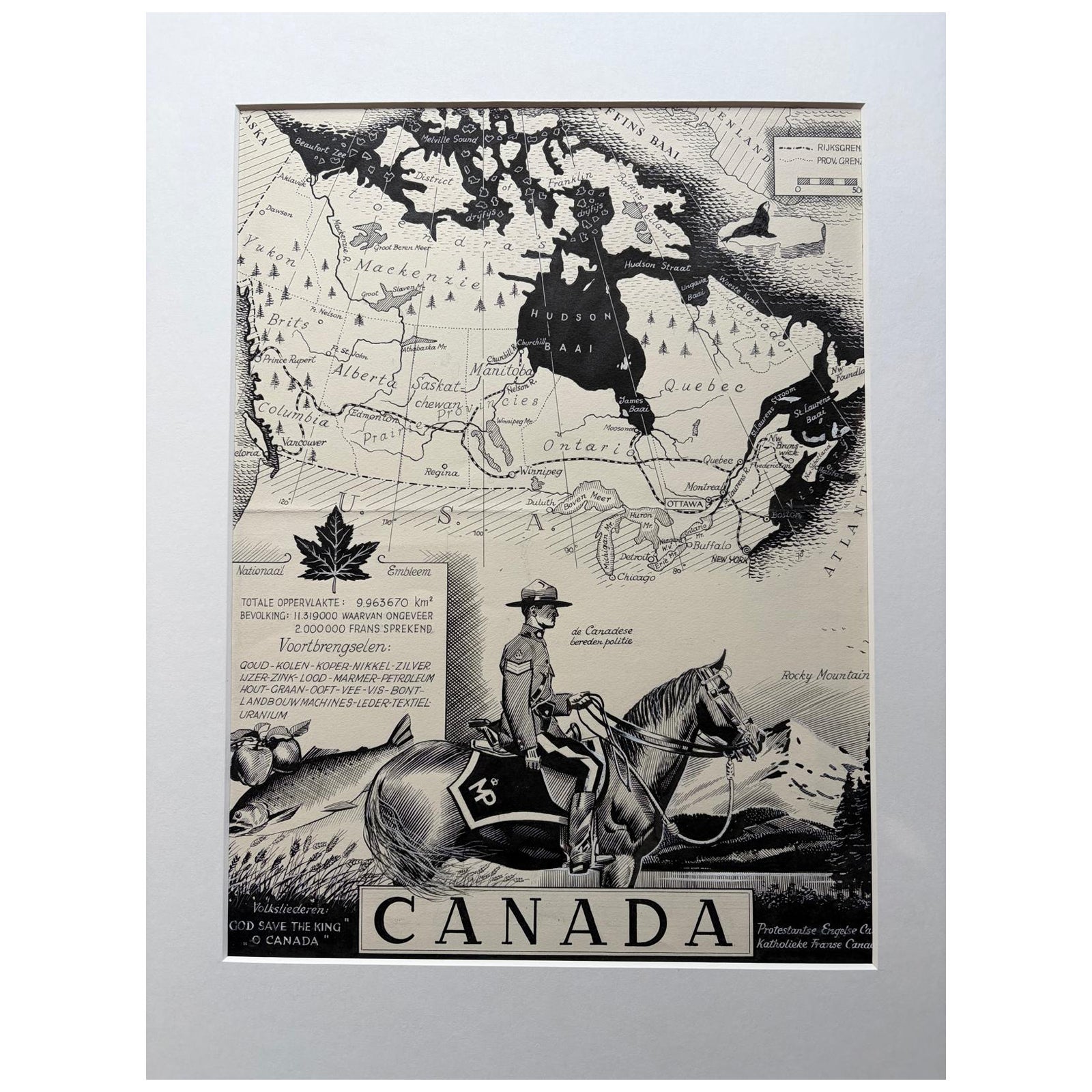
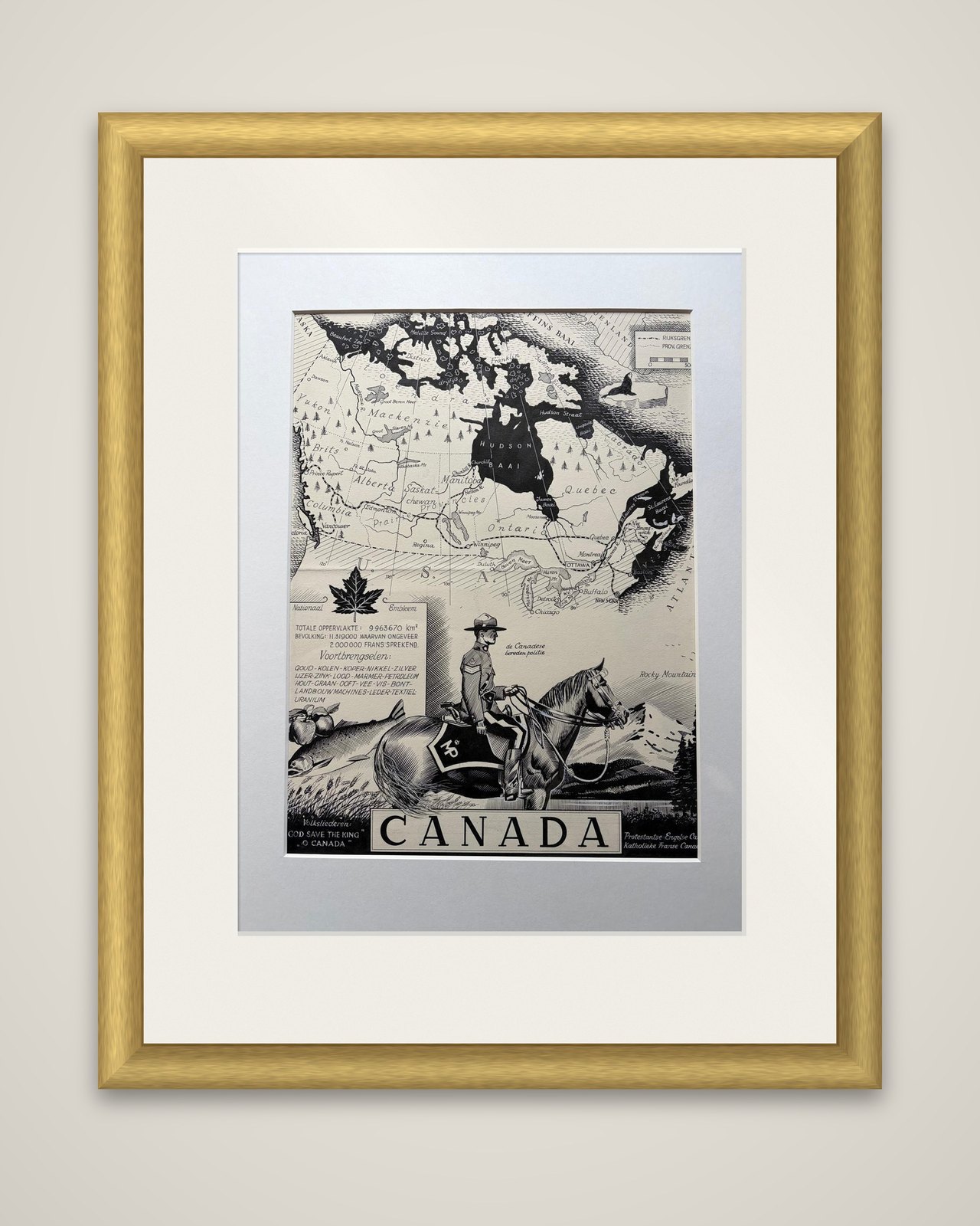
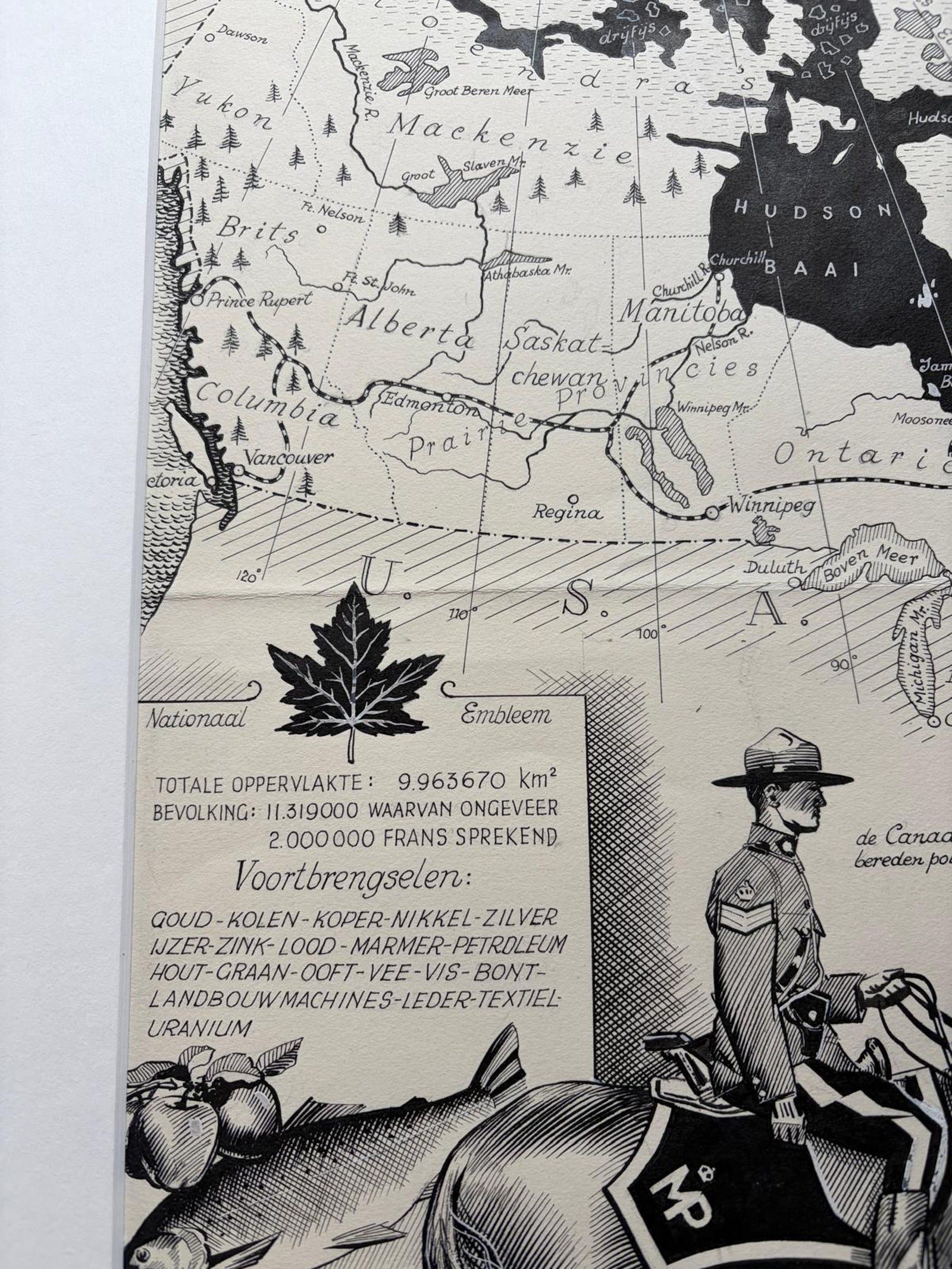
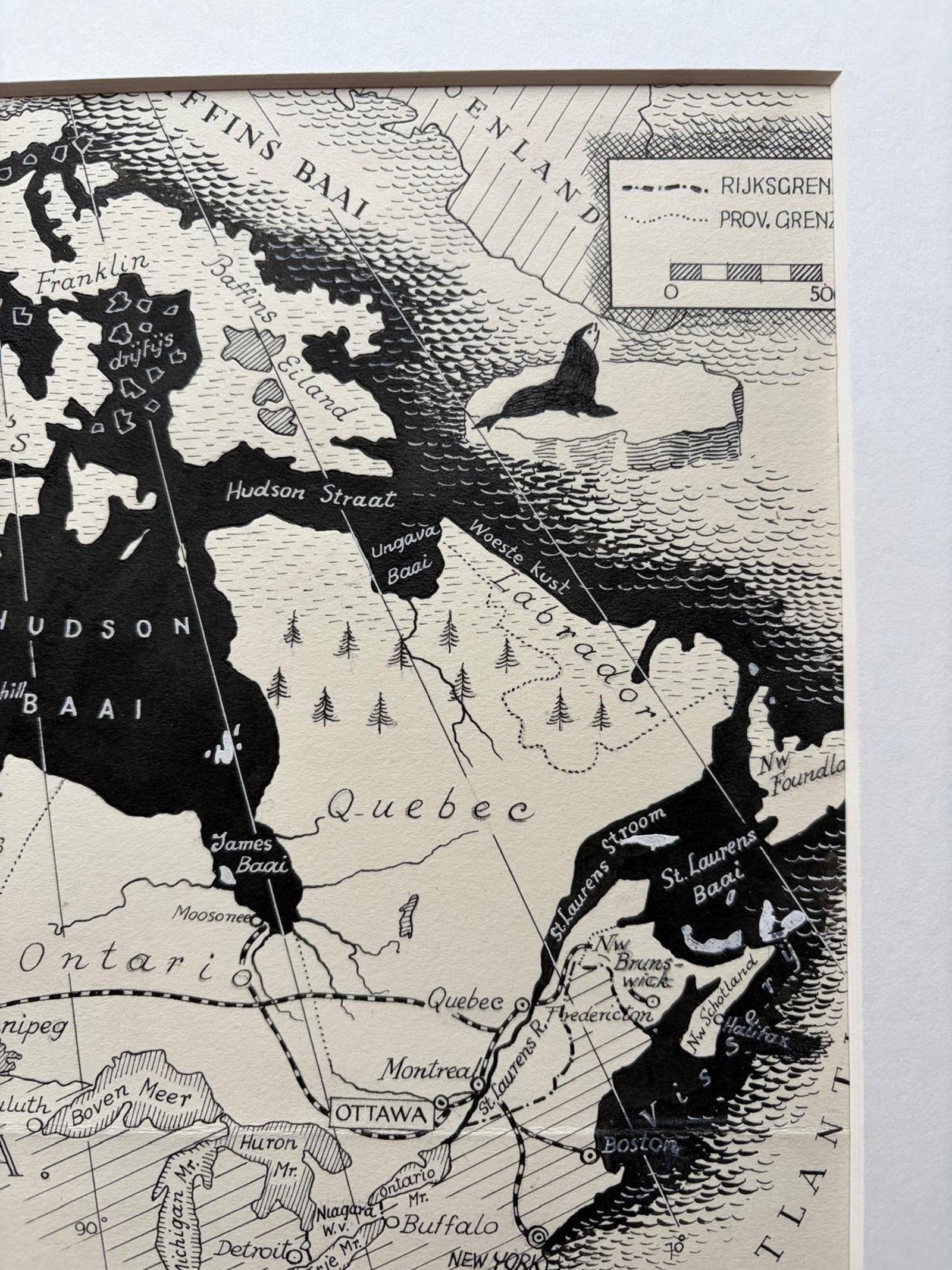
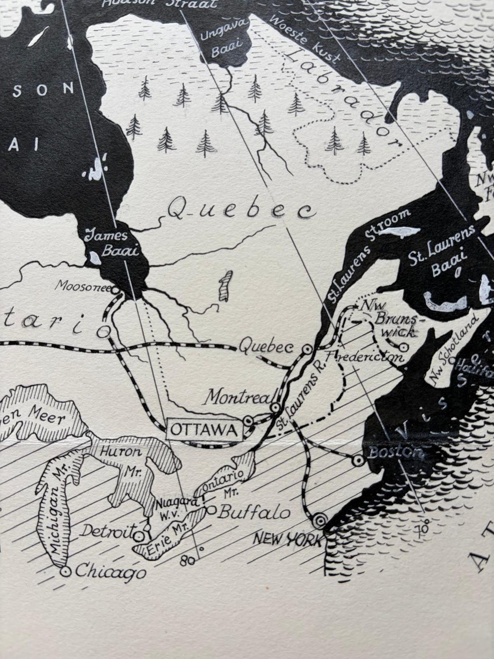
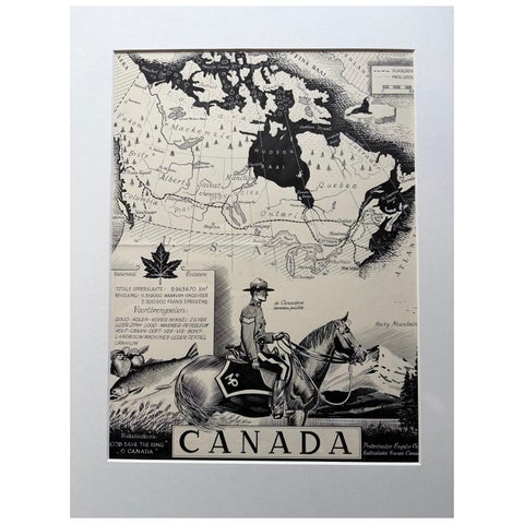
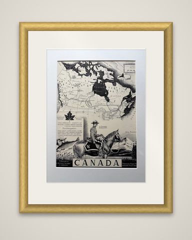
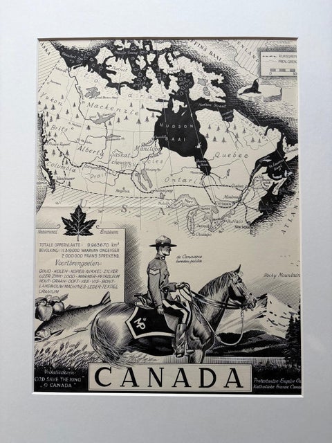
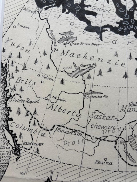
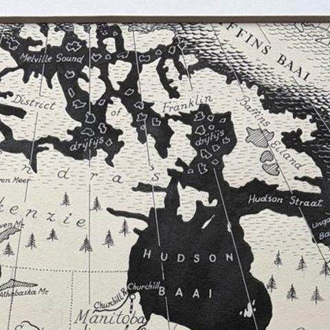
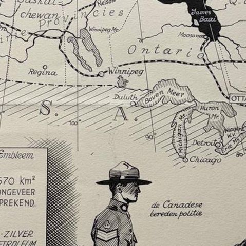
Canada as an original pen-and-ink map by the Dutch artist Charles Burki (1909-1994), signed and dated 1948, drawn in black ink on cream paper. The text is in Dutch, and the sheet was made as finished artwork for a published geography.
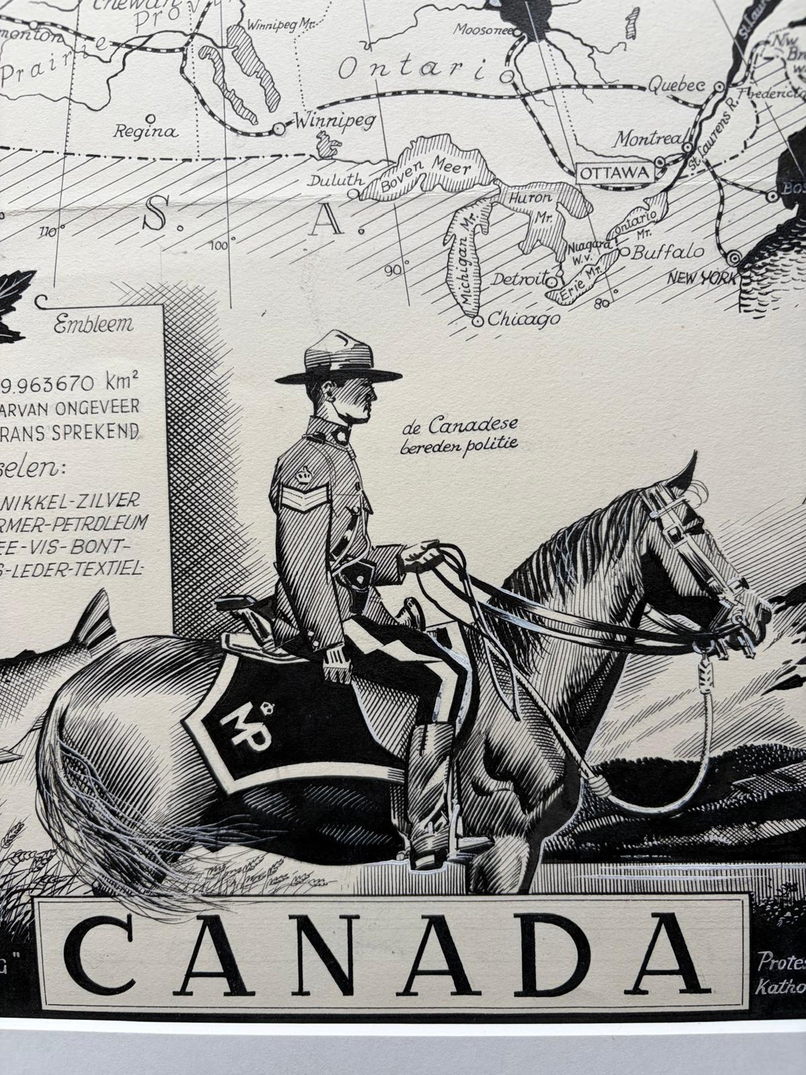
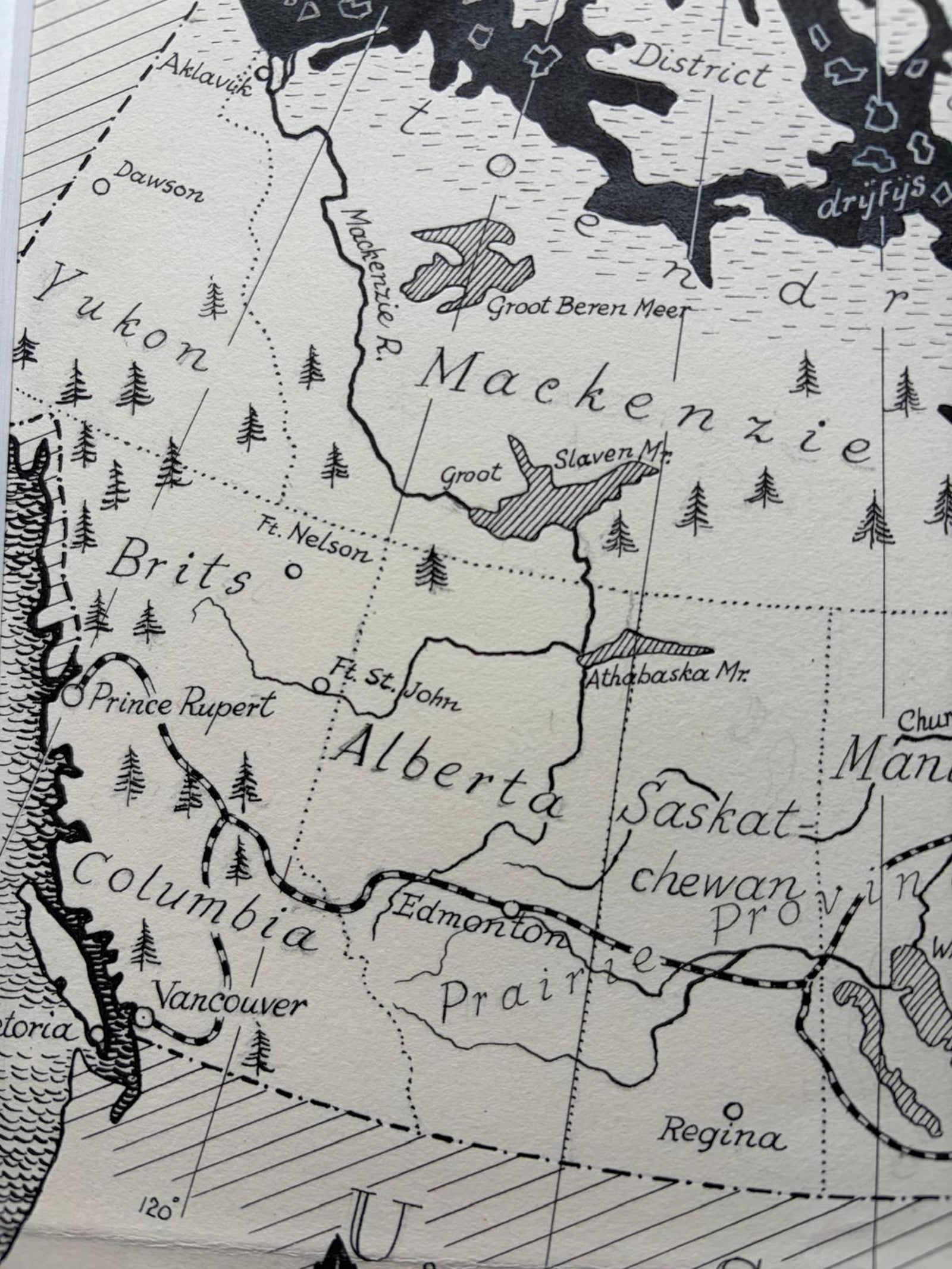
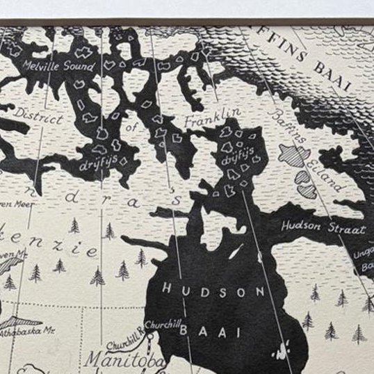
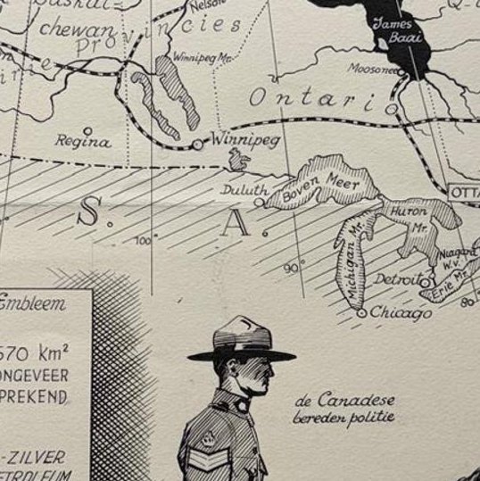
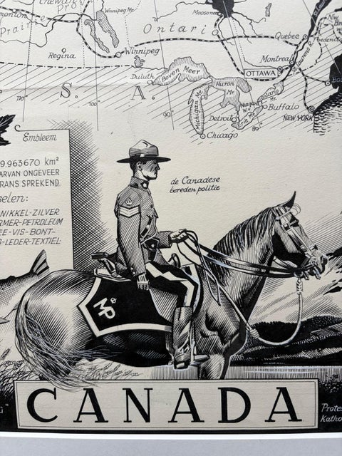
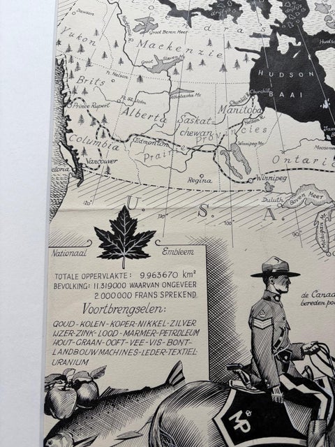
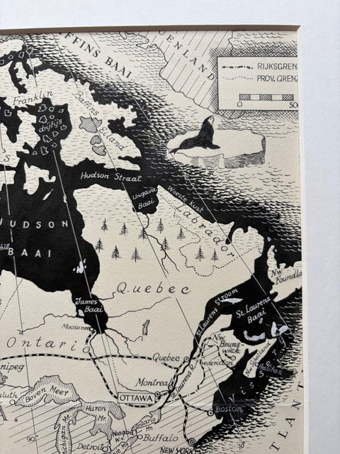
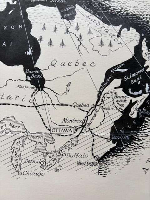
The map covers the whole country in fine linework, from the Yukon and British Columbia across Alberta, Saskatchewan, Manitoba, Ontario and Quebec to the Maritimes, with Hudson Bay ("Hudson Baai") solid black at the center. Vancouver, Edmonton, Winnipeg, Ottawa, Quebec, Montreal and Toronto are among the cities named, and the United States border is drawn along the south with Chicago and Buffalo just beyond it. A framed text block gives the total area as 8,963,670 square kilometers and the population as 11,319,000, of whom about 2,000,000 are French-speaking, followed by a list of products including gold, coal, copper, nickel, silver, iron, zinc, lead, petroleum, grain, timber, fish, furs, machinery, leather and uranium. A maple leaf is labeled as the national emblem. The foreground is dominated by a Royal Canadian Mounted Police officer on horseback before the Rocky Mountains, with apples, a fish and a sheaf of wheat at the left. The title "CANADA" runs along the foot, with the words "God Save the King" and "O Canada" at either side.
Burki was born in the Dutch East Indies and became a leading postwar illustrator in the Netherlands.