1825 · Maps
Original Antique Map of Pennsylvania Showing Interesting Statistics Etc, 1825
$390
€350 · dollar price at today's exchange rate
Buy now Ask a question
Shipping to the United States: $51 standard, $73 express, insured and tracked.
- Date
- 1825
- Kind
- Maps
- Size
- 30.5 × 43.2 cm (12 × 17 in)
- Condition
- Good
- Period
- The Early Republic
- Places
- Pennsylvania
- Reference
- BG-13191-6
What the condition grades mean
- Excellent
- Bright and clean, with no faults worth mentioning.
- Very good
- Only light signs of age, such as faint toning.
- Good
- Normal signs of age for a sheet of this period: toning, some foxing, small marks or neat old repairs.
- Fair
- Clear faults such as staining, tears or repairs, priced to match.
Every fault we see is written in the condition note, and the whole sheet is shown uncropped in the photos.
Guaranteed original. This is an original of the period stated, not a later reproduction or print-on-demand copy. If it is ever shown to be otherwise, we refund you in full.
Shipping to the United States. Sent from our gallery in Langweer, the Netherlands, flat between boards or rolled in a tube, and fully insured.
Delivery and import charges.
About this piece
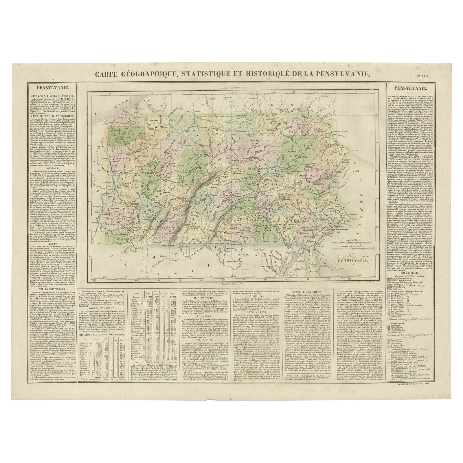
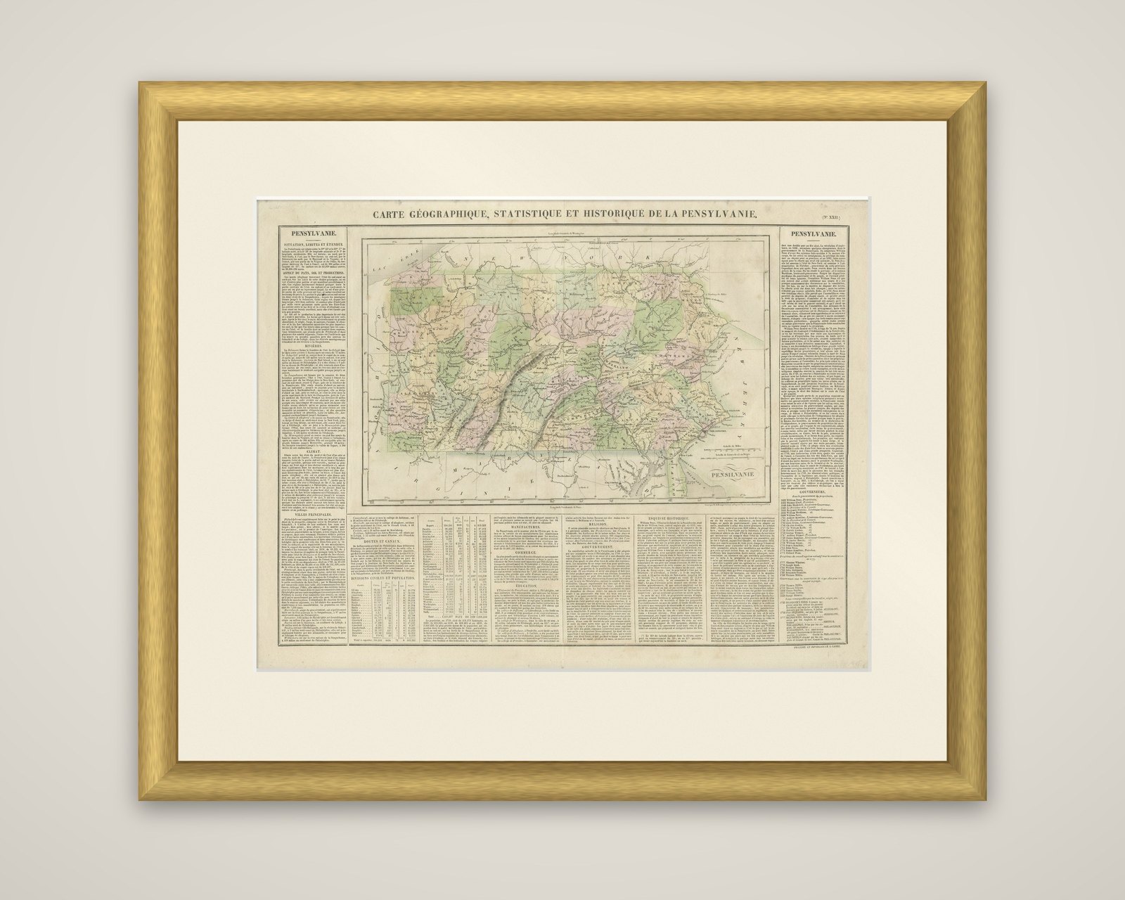
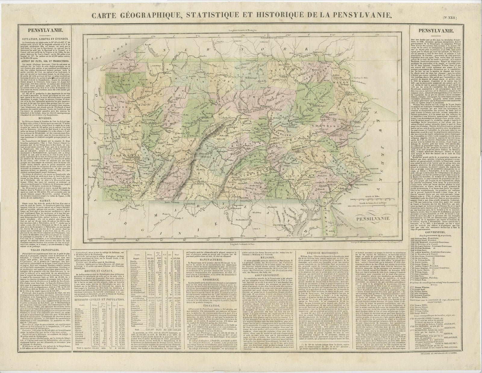
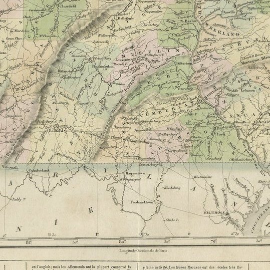
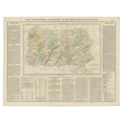
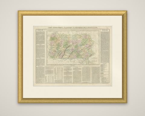
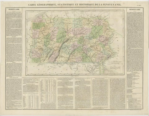
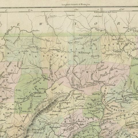
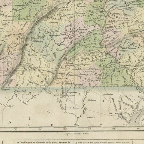
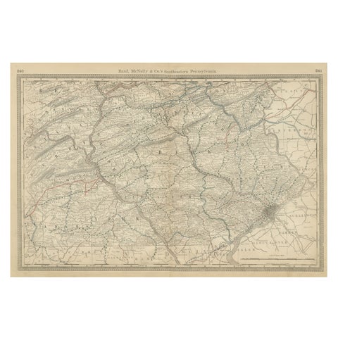
Pennsylvania, an original antique map titled "Carte Géographique, Statistique et Historique de la Pensylvanie," from the French edition of Carey and Lea's American Atlas, dated 1825. The sheet is an engraving with original color, with the counties distinguished by colored borders and washes in pink, green and yellow.
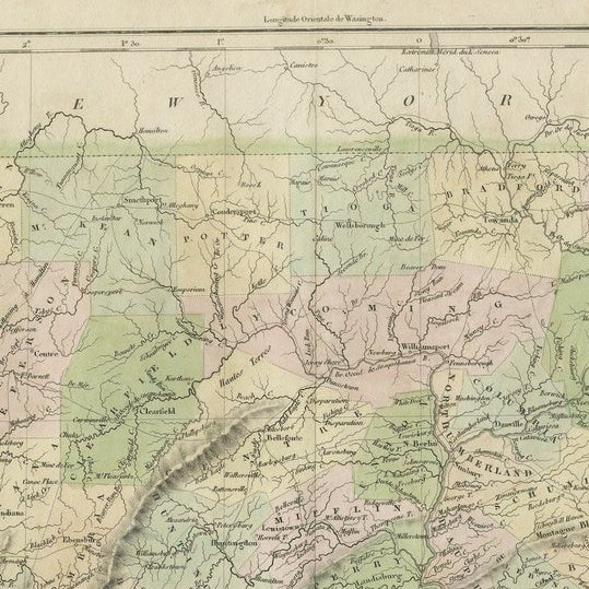
The map shows the state from Lake Erie to the Delaware, with its counties, towns, roads, rivers and bridges, and the parallel ridges of the Allegheny mountains drawn in hachures across the center. Philadelphia is at the lower right and neighboring New York, New Jersey, Maryland and Virginia are lettered at the borders. Around the map, the French text columns set out the state's situation and extent, rivers, climate, population, principal towns, manufactures and commerce, religion, education, government and history. A table of counties and a numbered list of the principal places fill the foot and the right margin.
Carey and Lea of Philadelphia published the American Atlas in 1822. This French edition, with its printed statistics on the same sheet, gives a picture of the state in the 1820s as the French reading public was shown it.