A Bartele Gallery CollectionLangweer · Jakarta

American Maps & Prints
Original antique maps, charts & prints of the Americas ★ Originals only


Home › The United States › Massachusetts
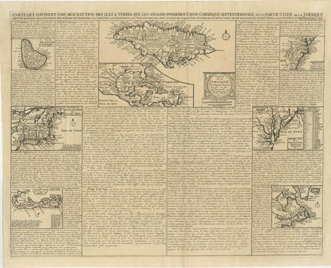
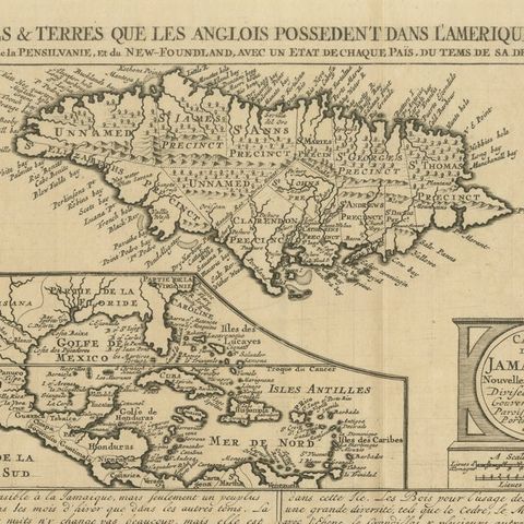
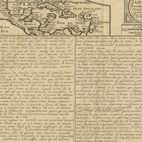
Rare French Colonial America Map, Jamaica Barbados Carolina, c.1719
1719 · Maps

Rare French Colonial America Map, Jamaica Barbados Carolina, c.1719

$1,450
€1,295 · dollar price at today's exchange rate

Buy now Ask a question

Shipping to the United States: $51 standard, $73 express, insured and tracked.

Date
1719
Kind
Maps
Size
44.2 × 54.5 cm (17.4 × 21.5 in)
Condition
Good. Good condition with age-related toning, fold lines, and occasional minor spotting consistent with early 18th century paper. Strong engraved impression with attractive overall preservation. Minor marginal wear and handling marks consistent with age.
Period
Colonial America
Places
Bermuda, Canada, Jamaica, The Lesser Antilles, Massachusetts, North Carolina, Pennsylvania, South Carolina, Virginia
Reference
BG-13755-4
What the condition grades mean
Excellent
Bright and clean, with no faults worth mentioning.
Very good
Only light signs of age, such as faint toning.
Good
Normal signs of age for a sheet of this period: toning, some foxing, small marks or neat old repairs.
Fair
Clear faults such as staining, tears or repairs, priced to match.

Every fault we see is written in the condition note, and the whole sheet is shown uncropped in the photos.

Guaranteed original. This is an original of the period stated, not a later reproduction or print-on-demand copy. If it is ever shown to be otherwise, we refund you in full.
Shipping to the United States. Sent from our gallery in Langweer, the Netherlands, flat between boards or rolled in a tube, and fully insured. Delivery and import charges.
About this piece

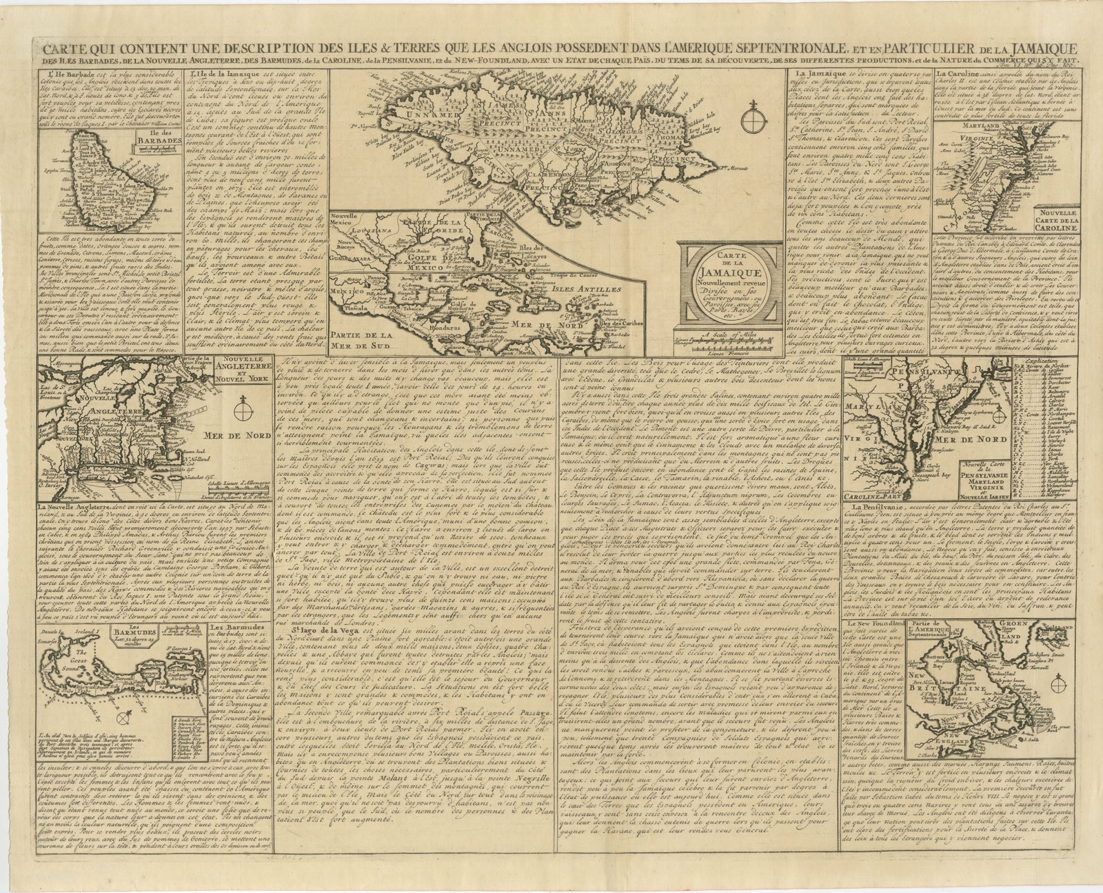
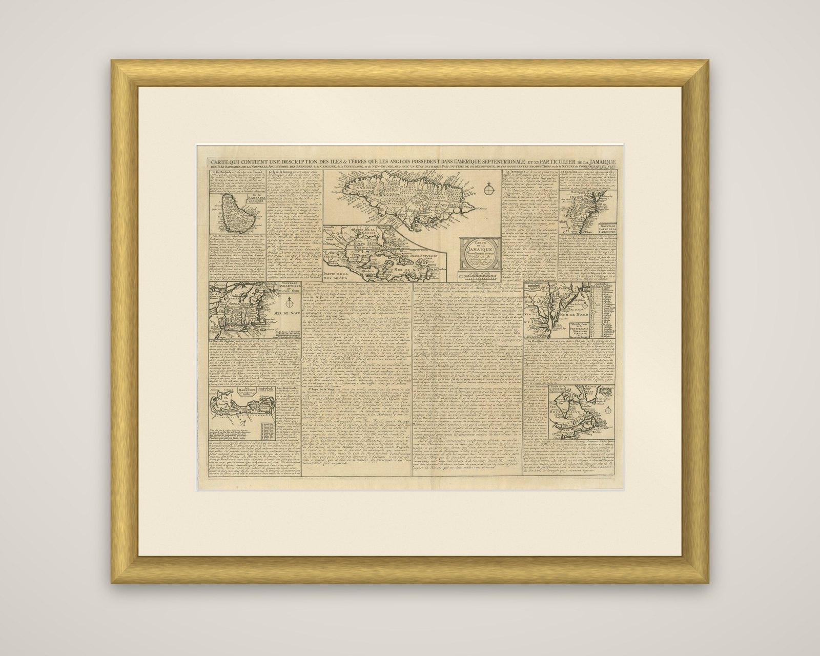
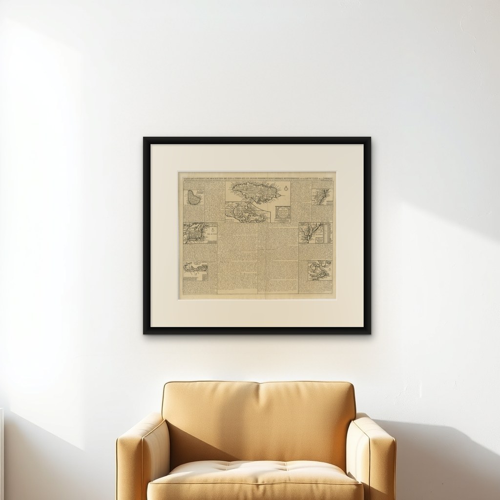
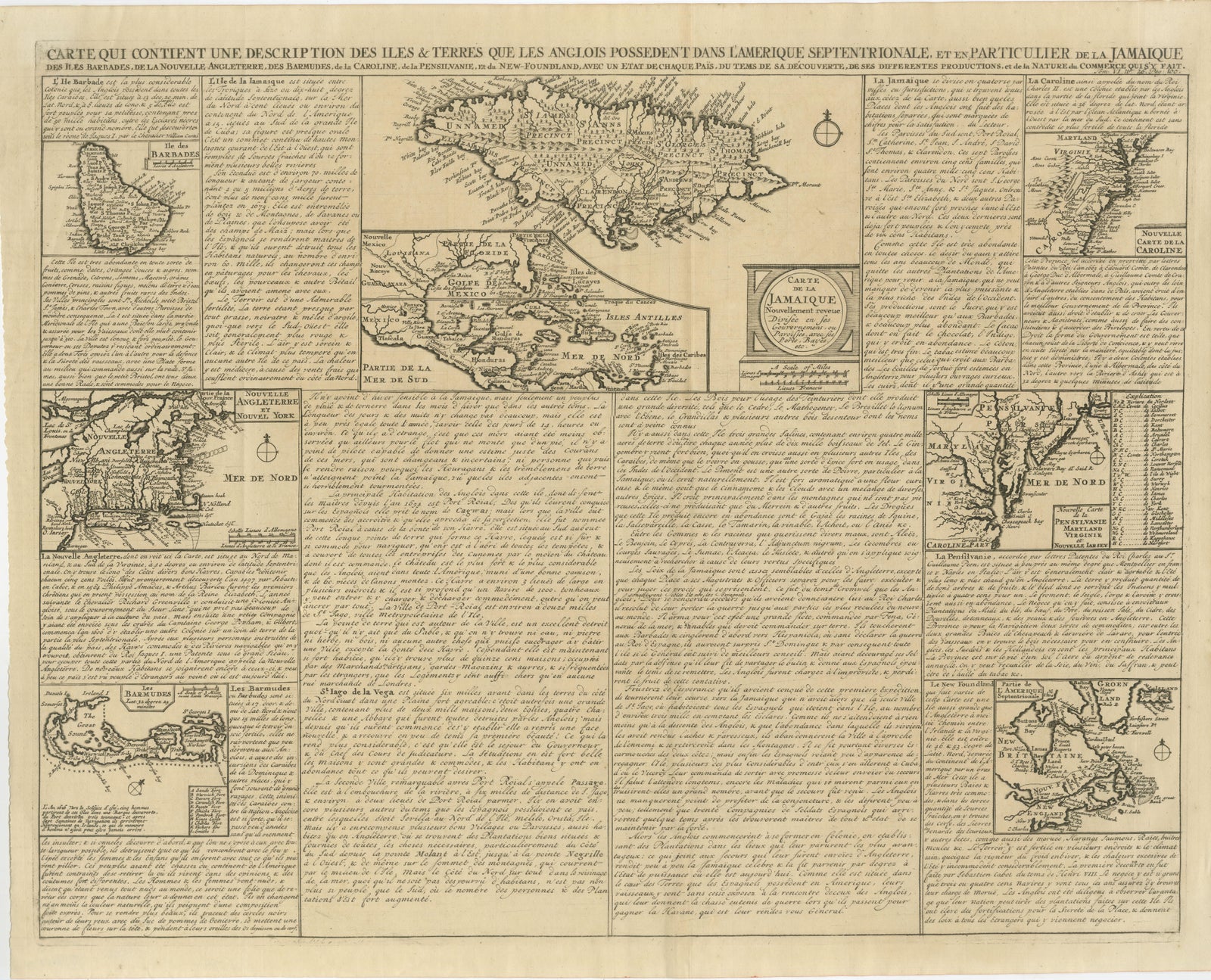
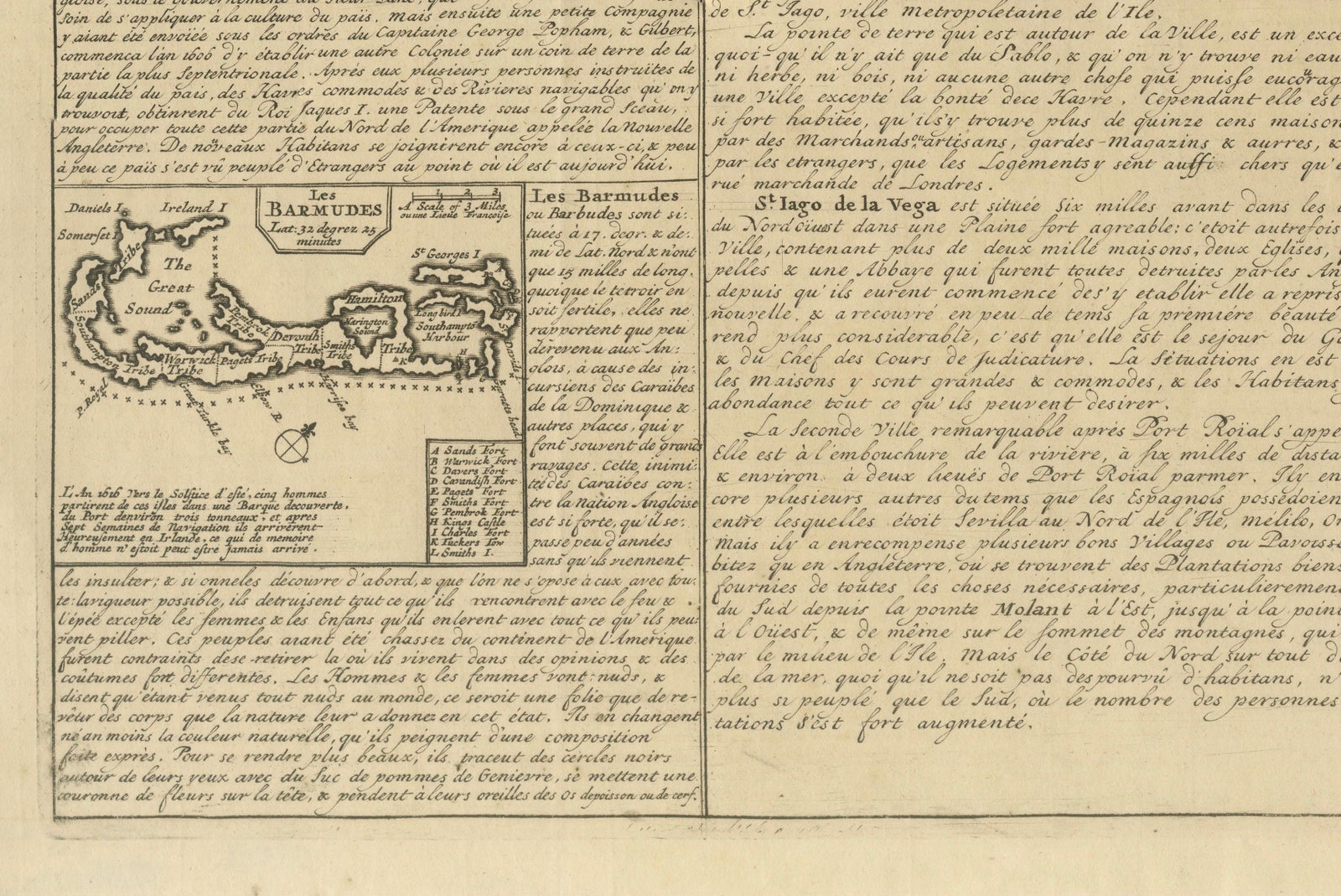
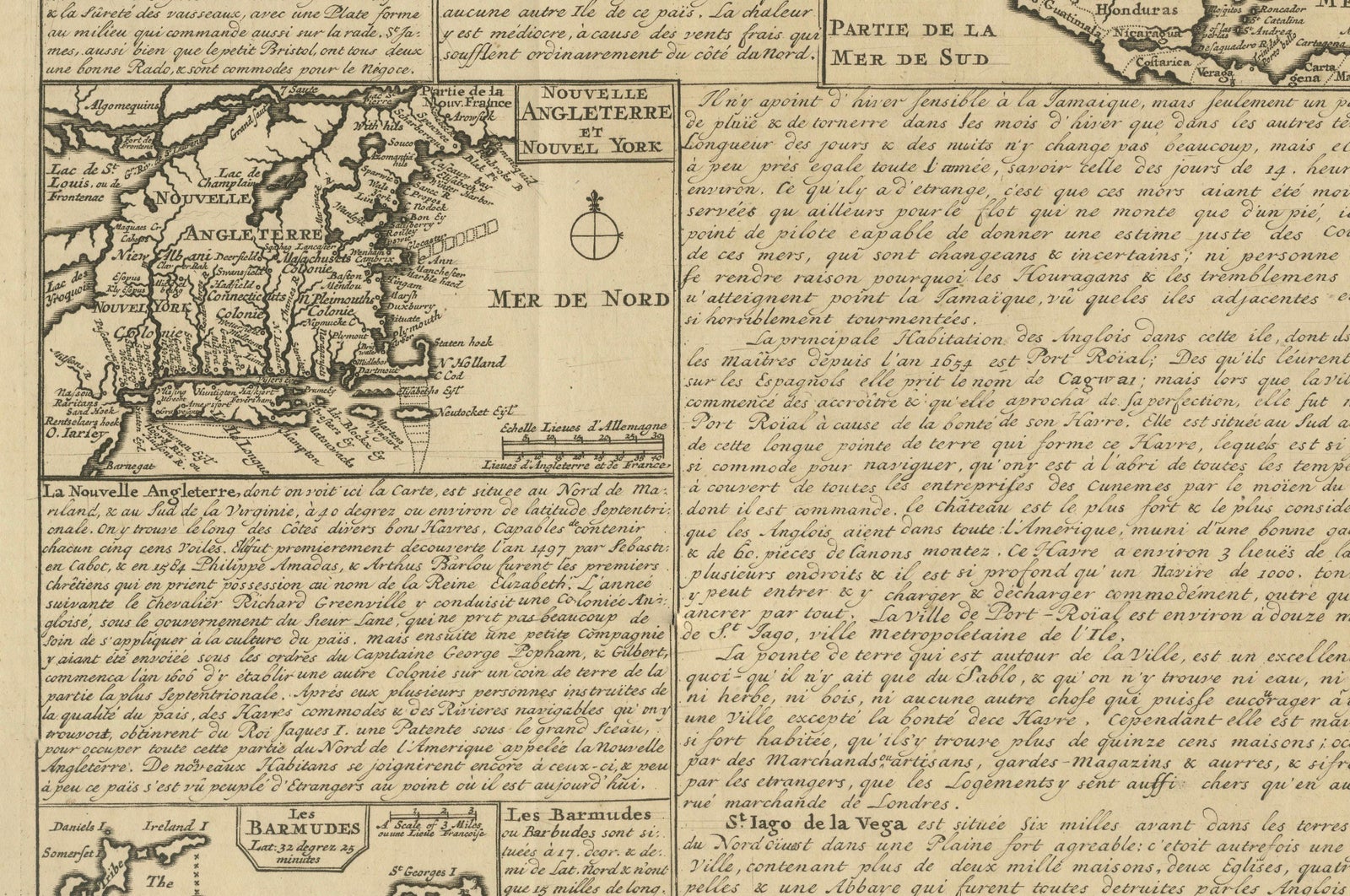
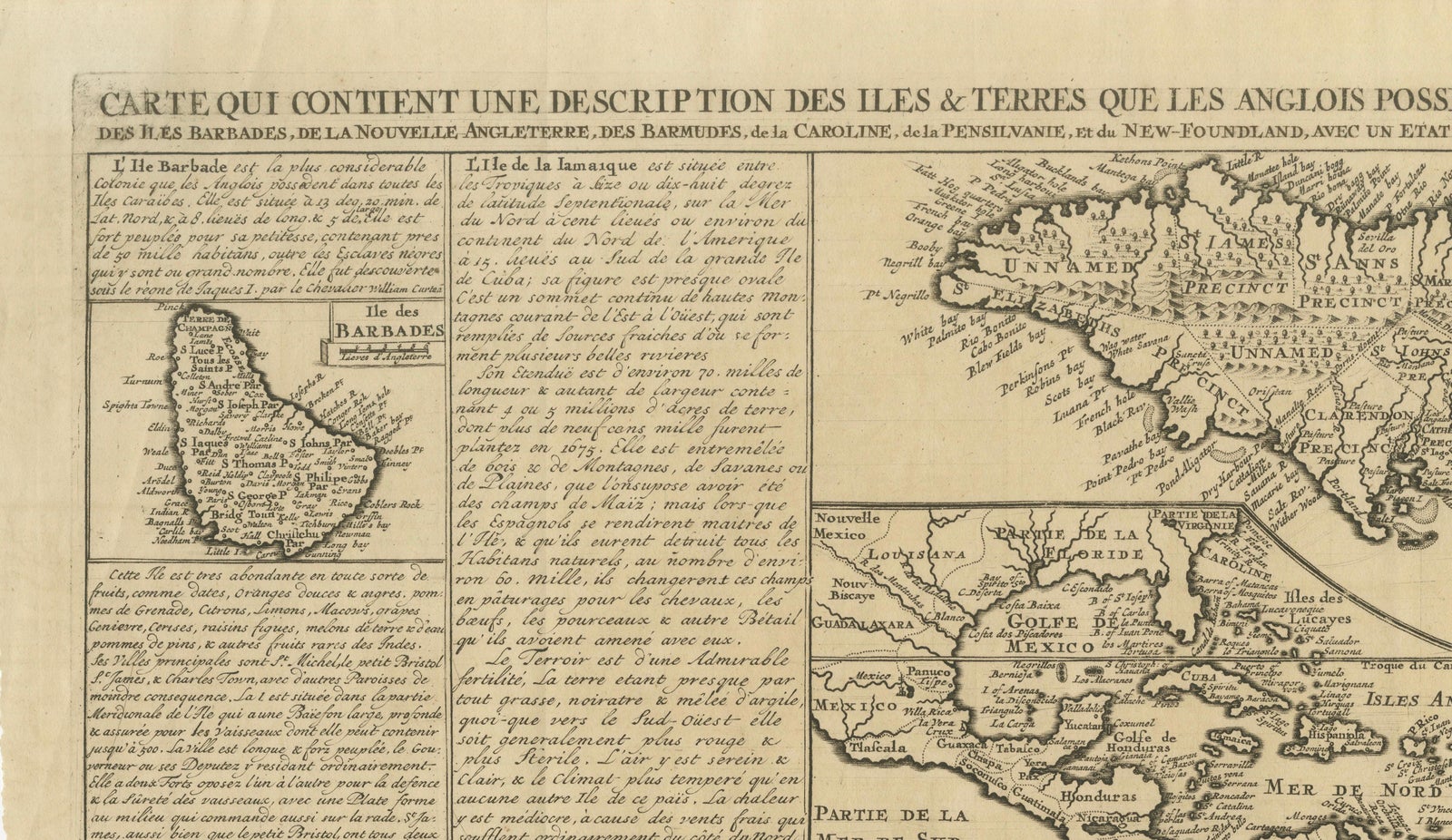
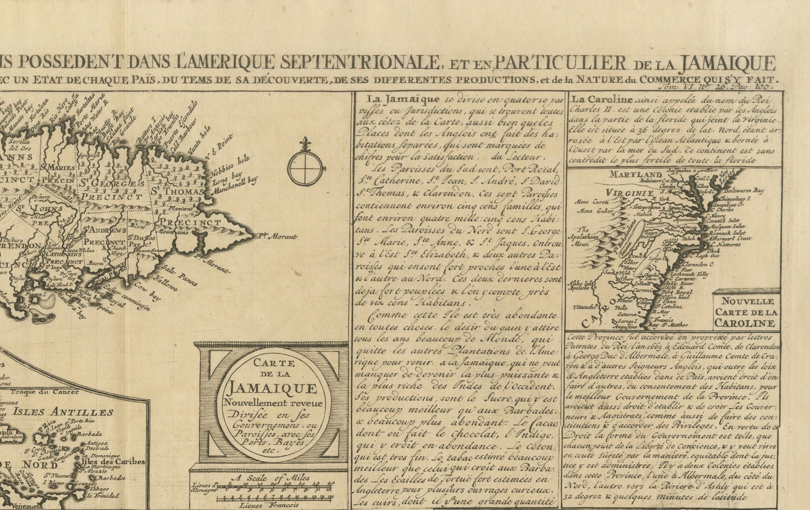
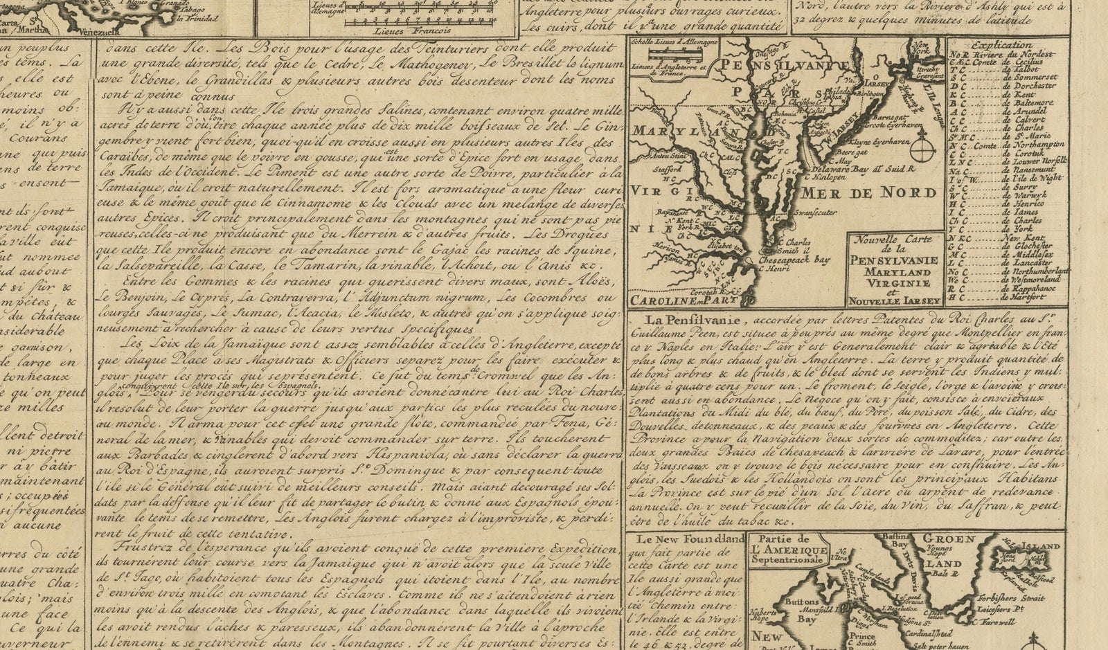
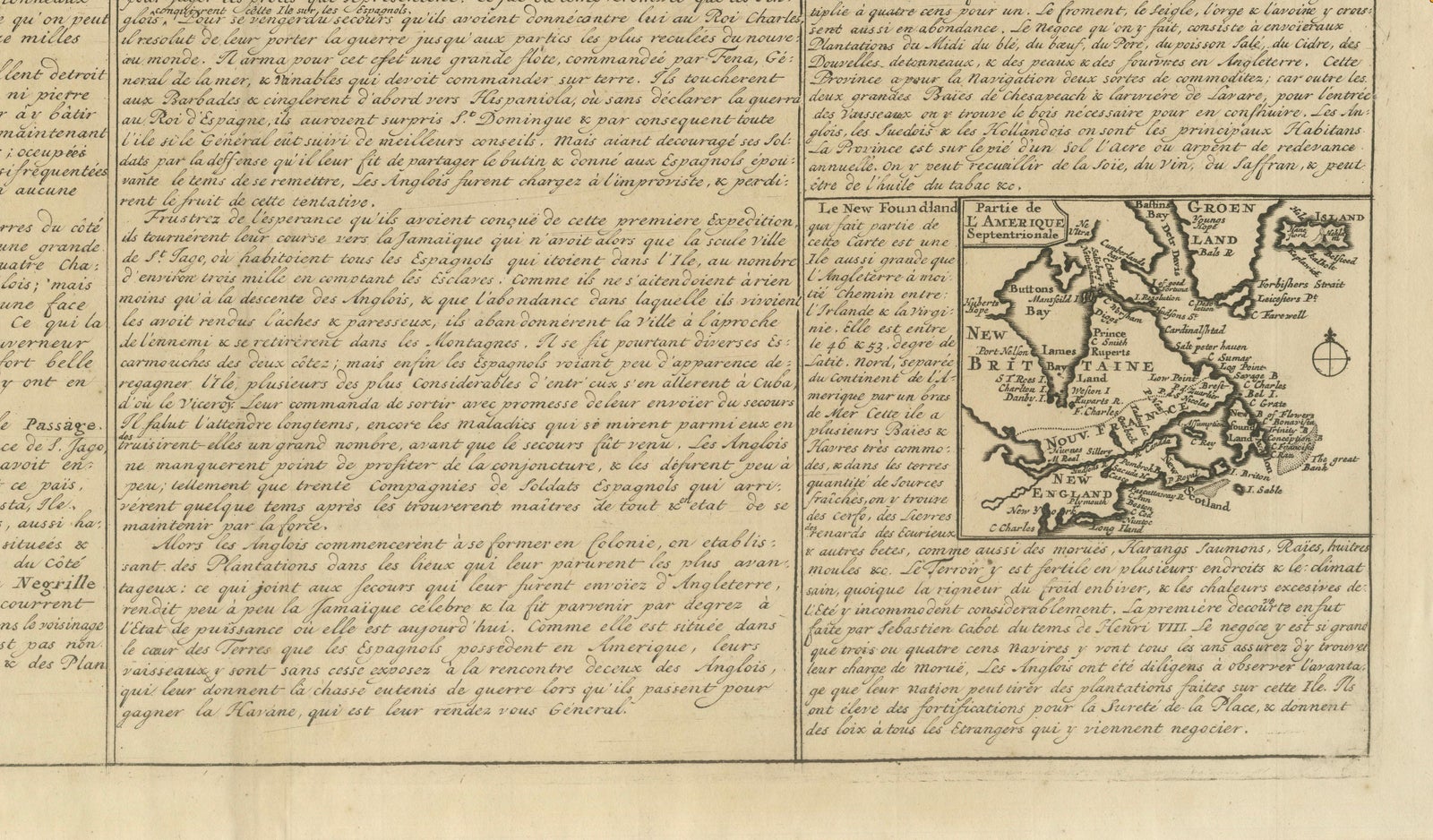
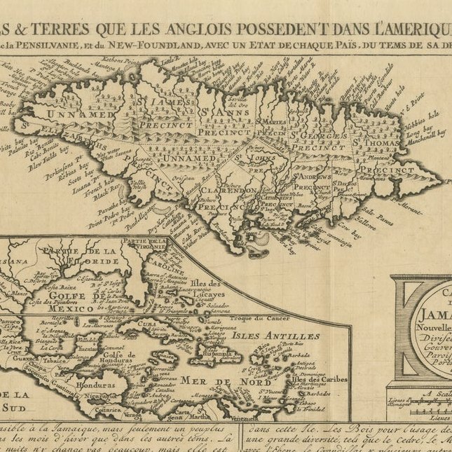
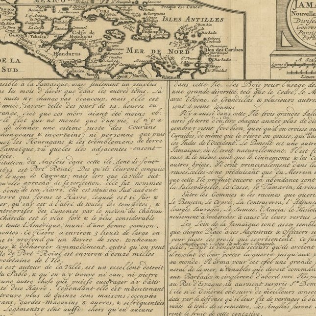
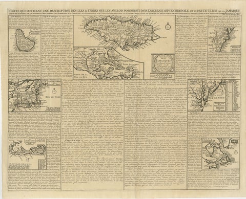
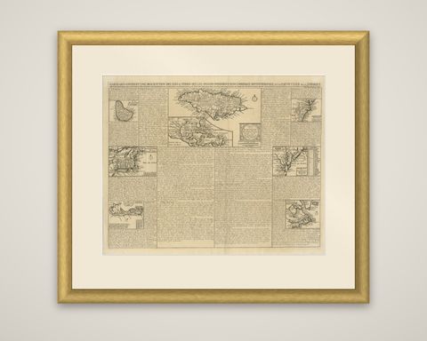
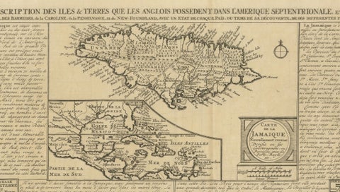
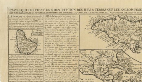
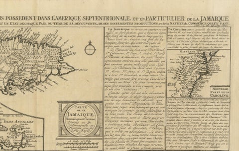
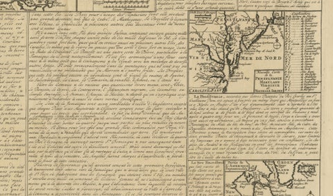
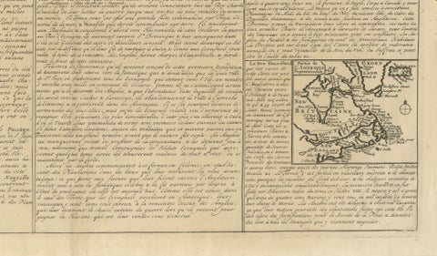
French map of England's Atlantic colonies, engraved in 1719 as a single sheet that combines a title, several regional maps and long columns of descriptive text. The engraved title announces a map describing the islands and lands the English possess in North America, in particular Jamaica, Barbados, New England, Bermuda, Carolina, Pennsylvania and Newfoundland. The sheet is an original engraving printed in black.

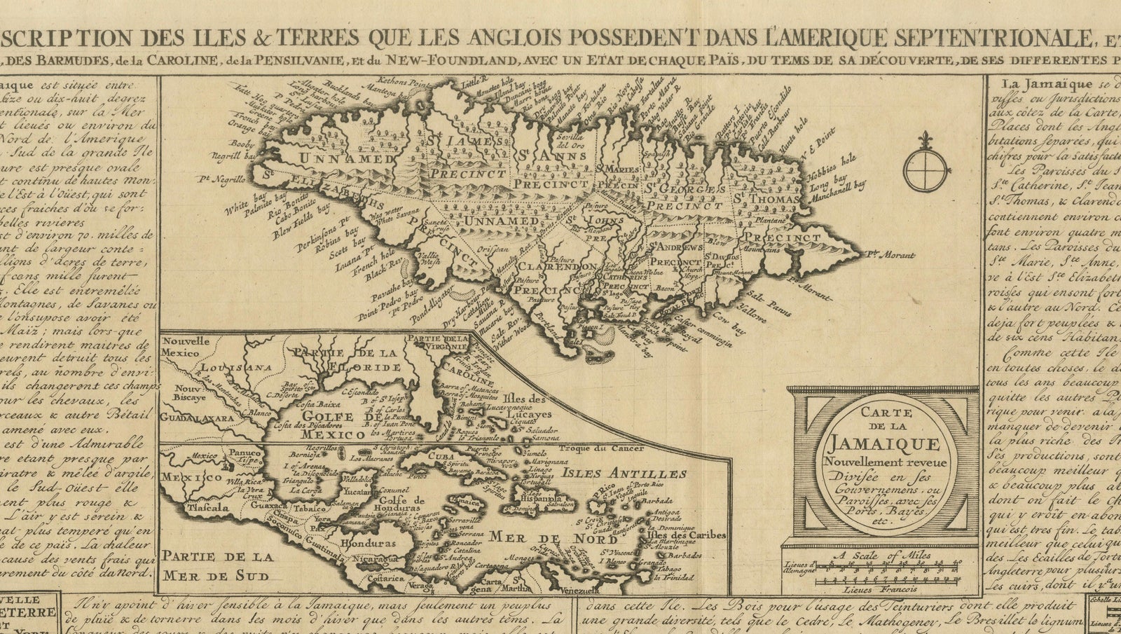
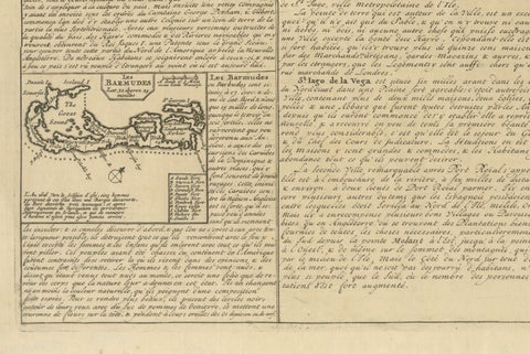
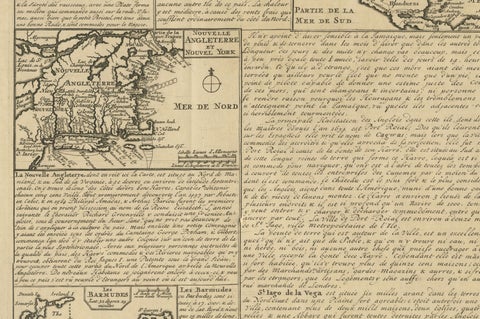
The sheet is organized around a large map of Jamaica at the top, with a titled cartouche, "Carte de la Jamaique", and a smaller map of the Caribbean and Gulf of Mexico beside it. Around the edges sit separate maps of Barbados, Bermuda, New England, the Carolina coast ("Nouvelle Carte de la Caroline"), Virginia with Pennsylvania, and Newfoundland. French text fills the spaces between them and describes each colony's geography, products, trade and settlement, so the sheet works as both a set of maps and a short printed geography.

Maps of this kind were made for readers who wanted an overview of English possessions overseas, and the Carolina and Chesapeake sections are early printed views of the southern colonies as they stood in the first decades of the eighteenth century.

★

More of Massachusetts


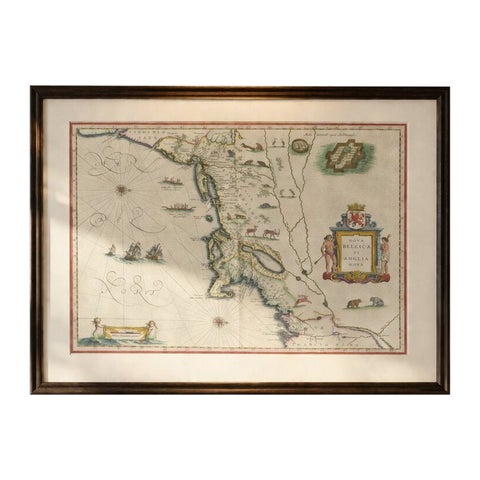
Antique New England Map Blaeu c.1642 – Nova Belgica & Anglia, Ships
1642 · Blaeu
$8,785
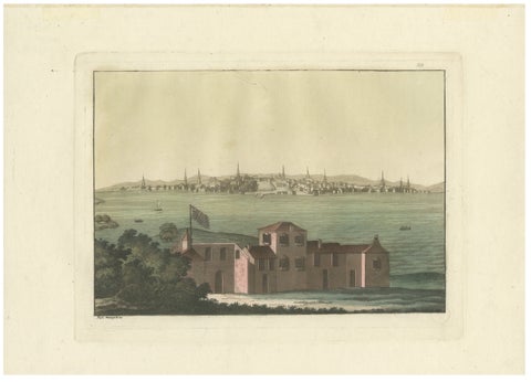
Boston Harbor View from Castle William, Hand-Colored Aquatint by Fumagalli, 1827
1827
$985
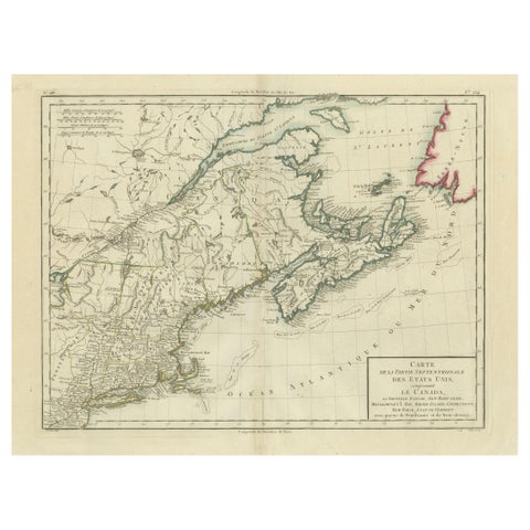
Antique Map of the Northeastern United States and Canada by Tardieu, 1802
1802
$625
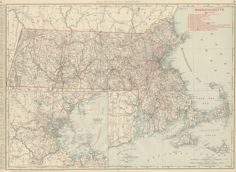
Antique Map of Massachusetts, The Bay State, Rand McNally, 1899
1899 · Rand McNally
$440
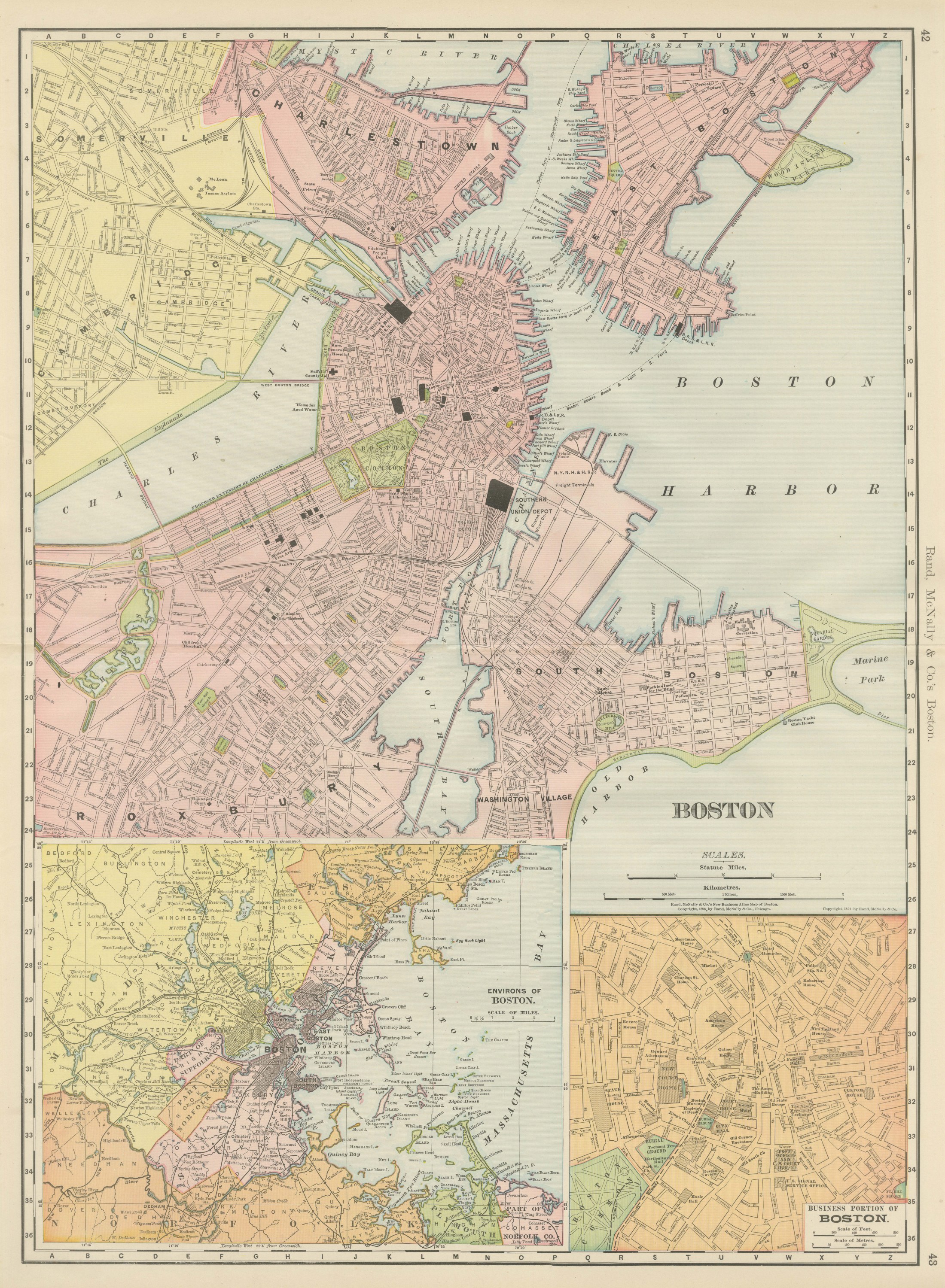
Antique Map of Boston, with Harbor and Environs Inset, Rand McNally, 1899
1899 · Rand McNally
$440
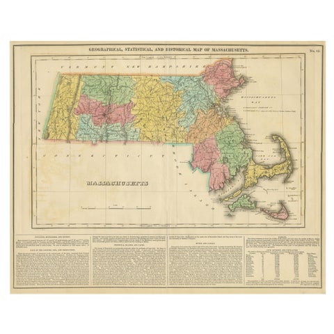
Antique Geographical, Historical and Statistical Map of Massachusetts, 1822
1822
$425
Rare 1864 Civil War Era Map of Massachusetts, Connecticut, and Rhode Island
1864
$405
Hancock House Boston - Antique Engraving American Revolution, ca.1830
1830
$370

Ask about this print

We reply by email, usually within one working day.

Your favorites

Saved in this browser. Email the list to yourself to keep it on any device.

We use your email to send this list and, only if you tick the box and confirm, for occasional new arrivals. Every email has an unsubscribe link. Bartele Gallery, the Netherlands.

Your bag

Total

Each piece is bought on its own; shipping is added at checkout.