A Bartele Gallery CollectionLangweer · Jakarta

American Maps & Prints
Original antique maps, charts & prints of the Americas ★ Originals only


Home › Latin America › South America
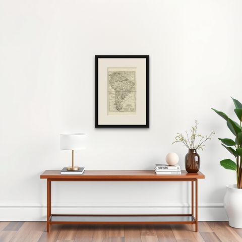
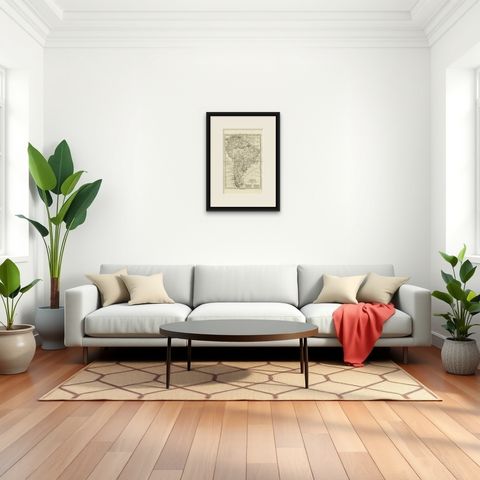
South America – Original Antique Enlightenment Map by Rigobert Bonne, c.1780
1780 · Maps

South America – Original Antique Enlightenment Map by Rigobert Bonne, c.1780

$490
€440 · dollar price at today's exchange rate

Buy now Ask a question

Shipping to the United States: $51 standard, $73 express, insured and tracked.

Date
1780
Maker
Rigobert Bonne
Kind
Maps
Size
41 × 26 cm (16.1 × 10.2 in)
Condition
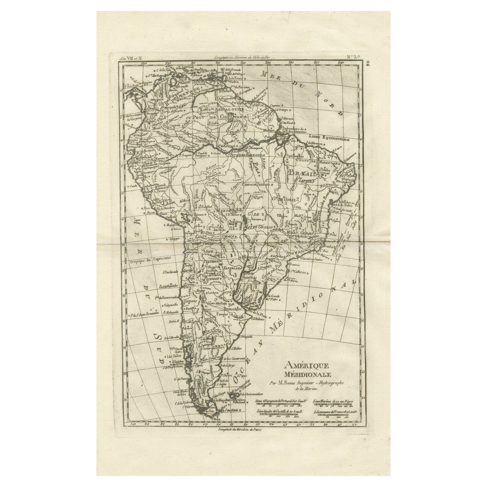
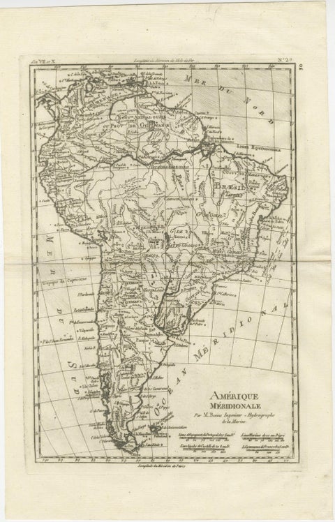
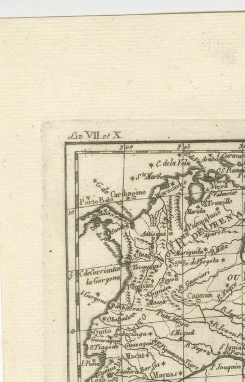
Good. Good antique condition. Light age toning and minor handling wear consistent with 18th-century copperplate engraving. Original centerfold as issued. Clean impression with strong legibility; margins ample for framing.
Period
The Early Republic
Places
South America
Reference
BG-14105-30
What the condition grades mean
Excellent
Bright and clean, with no faults worth mentioning.
Very good
Only light signs of age, such as faint toning.
Good
Normal signs of age for a sheet of this period: toning, some foxing, small marks or neat old repairs.
Fair
Clear faults such as staining, tears or repairs, priced to match.

Every fault we see is written in the condition note, and the whole sheet is shown uncropped in the photos.

Guaranteed original. This is an original of the period stated, not a later reproduction or print-on-demand copy. If it is ever shown to be otherwise, we refund you in full.
Shipping to the United States. Sent from our gallery in Langweer, the Netherlands, flat between boards or rolled in a tube, and fully insured. Delivery and import charges.


About this piece

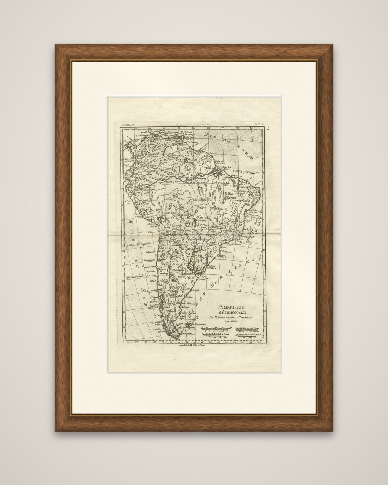
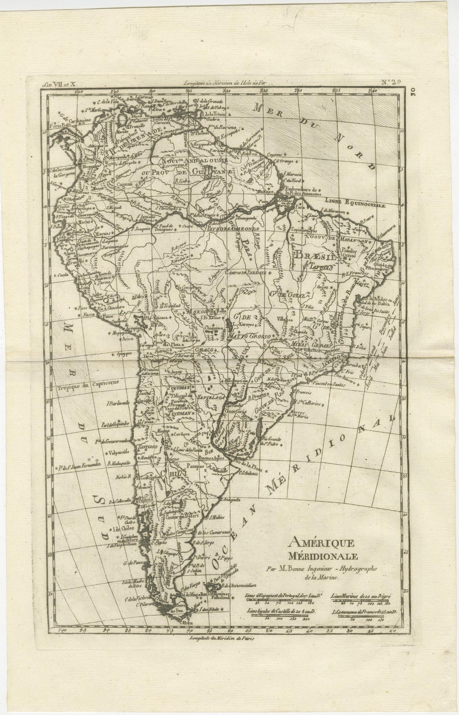
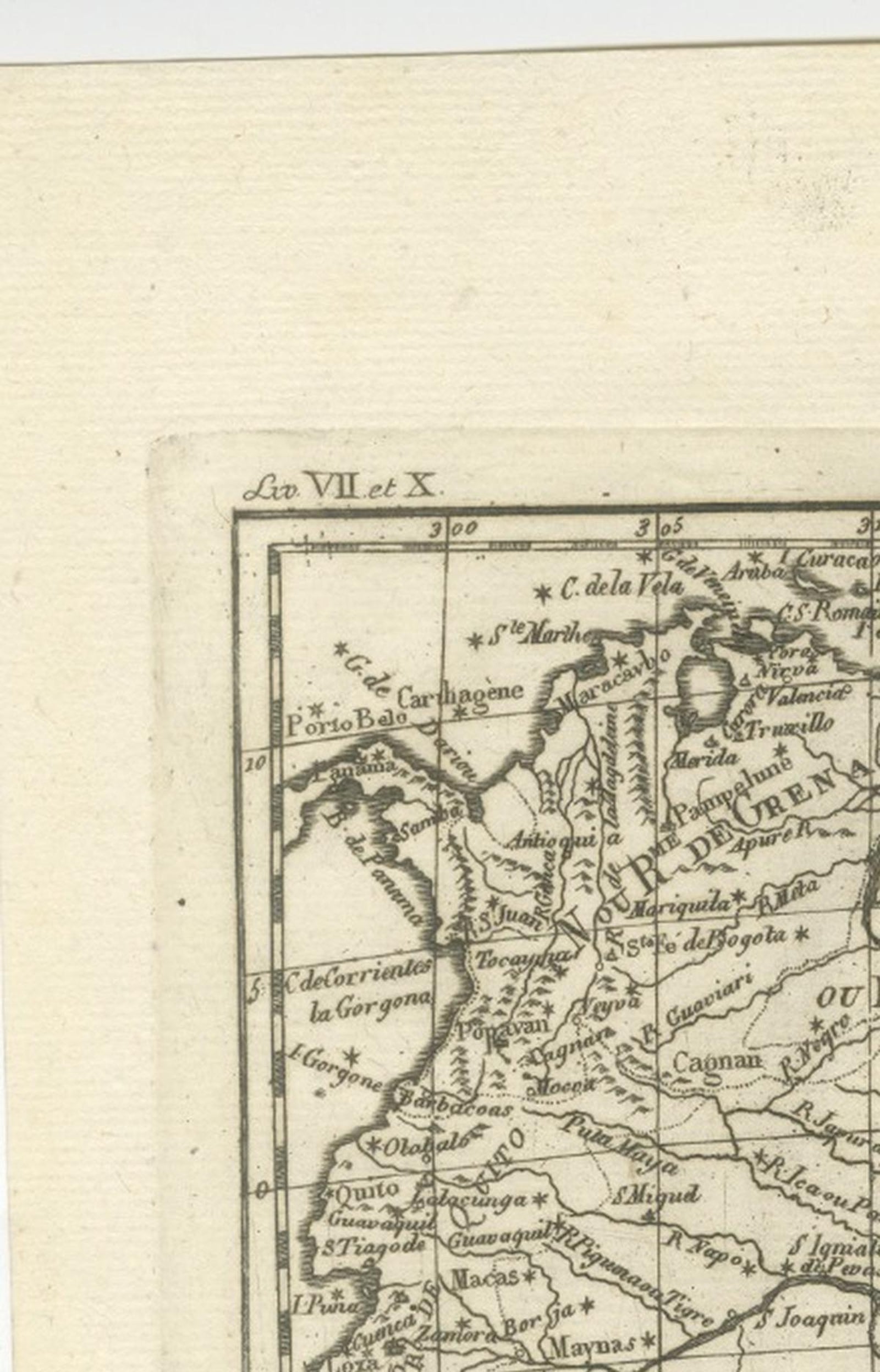
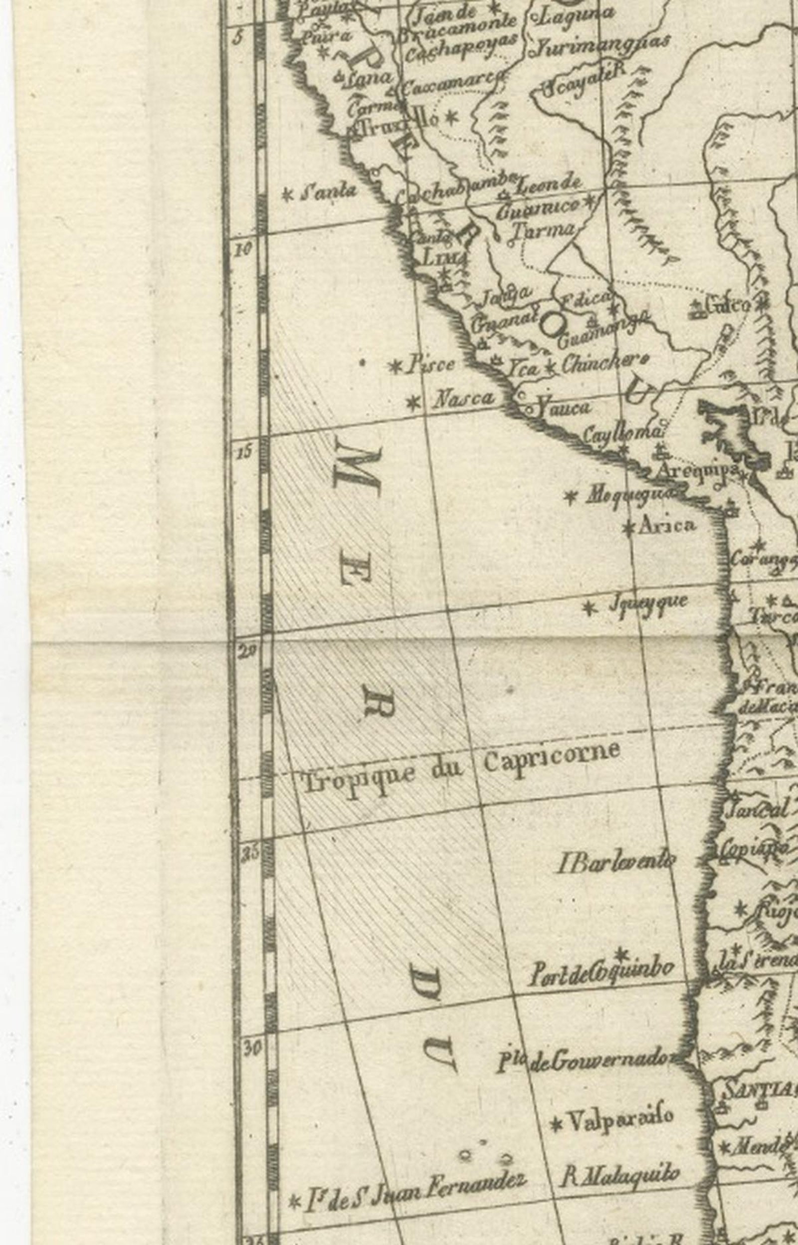
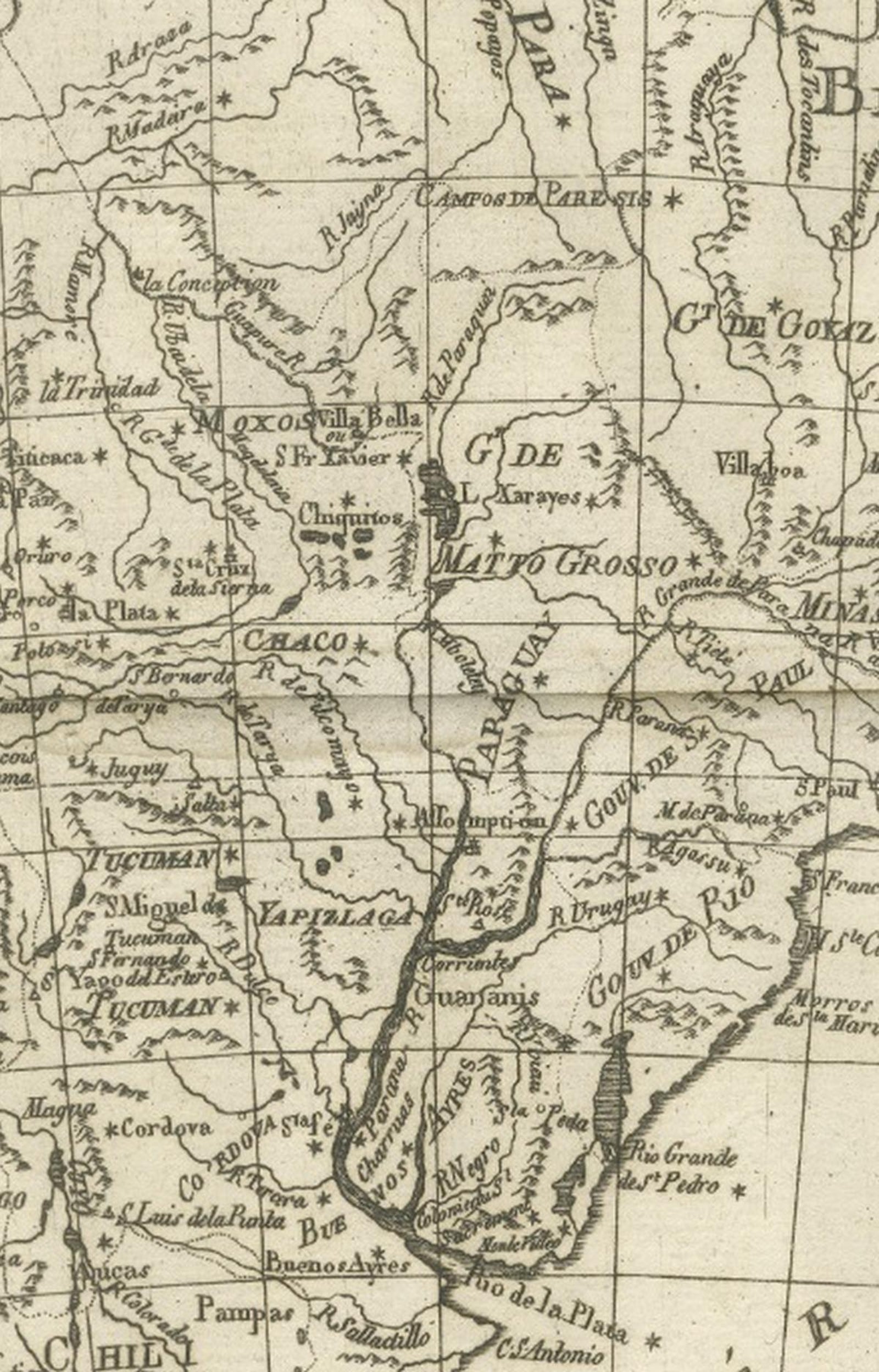
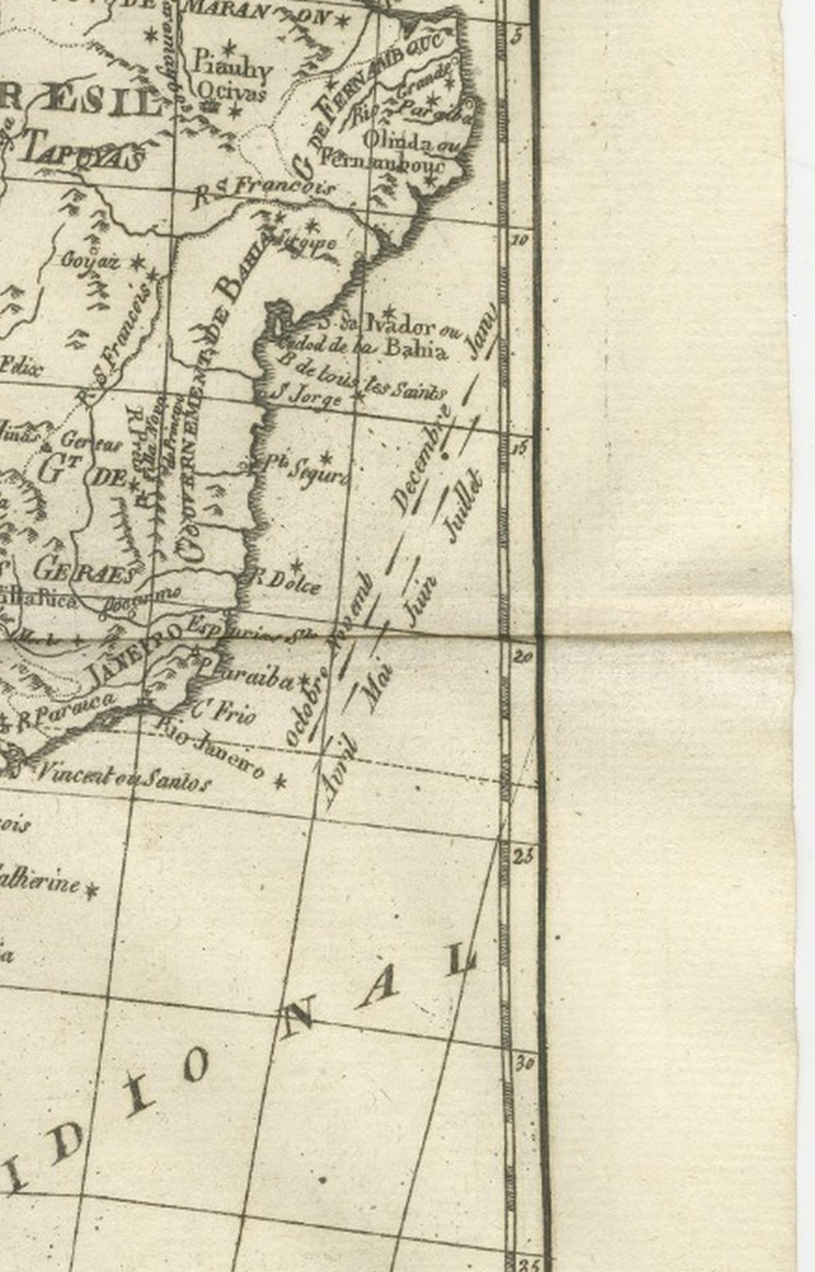
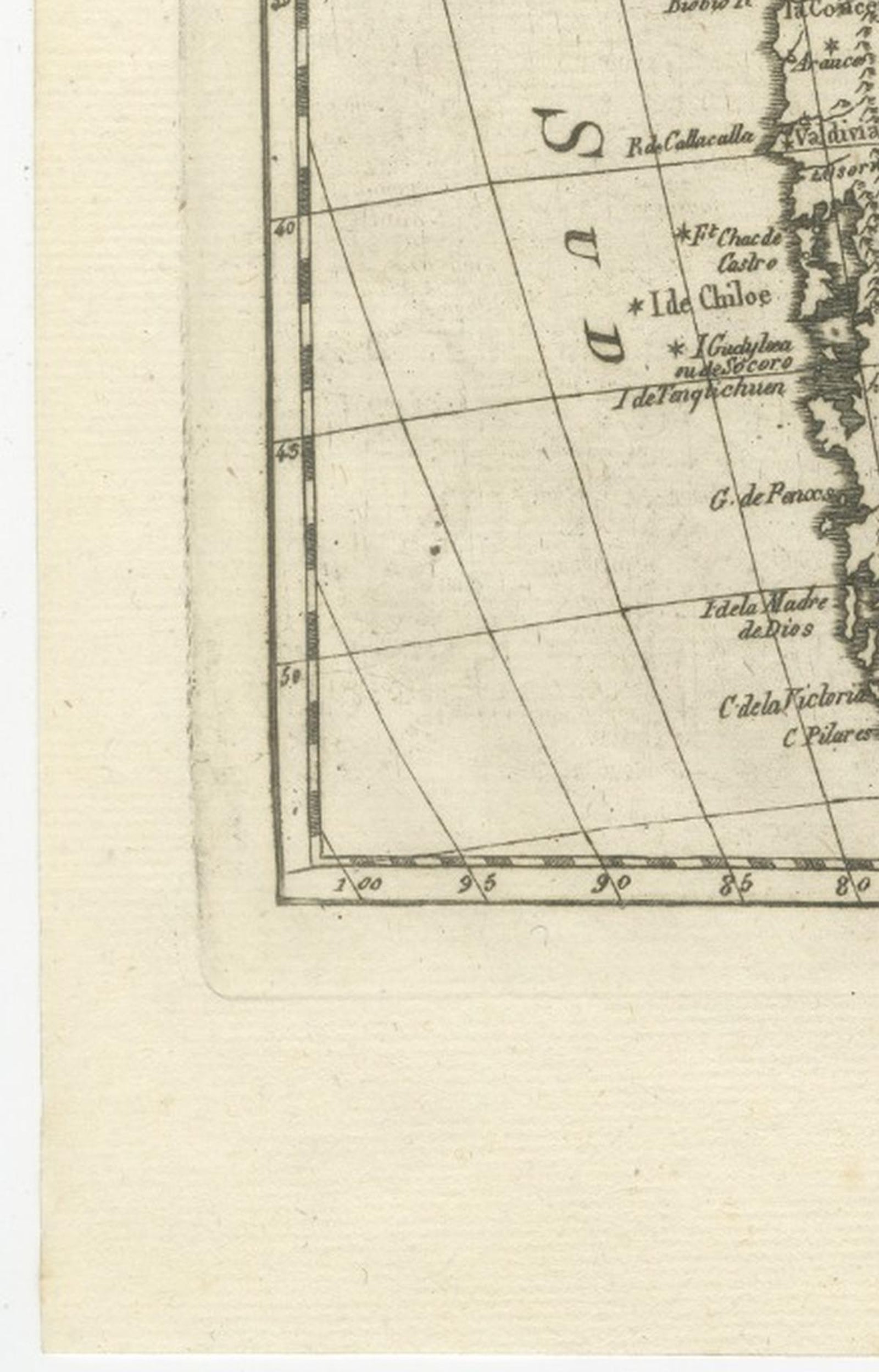
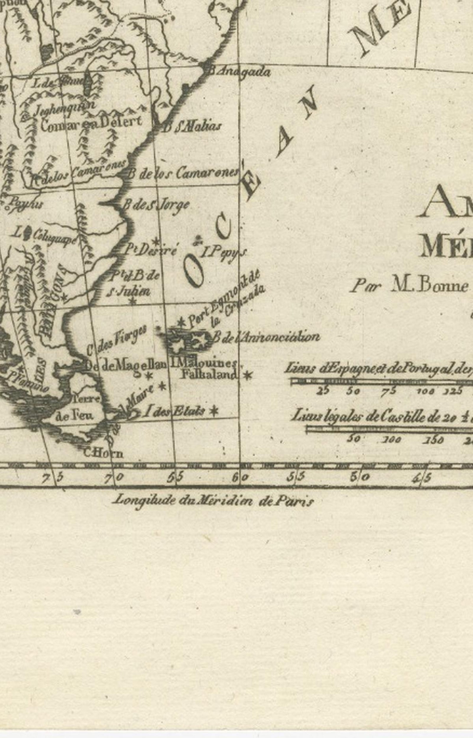
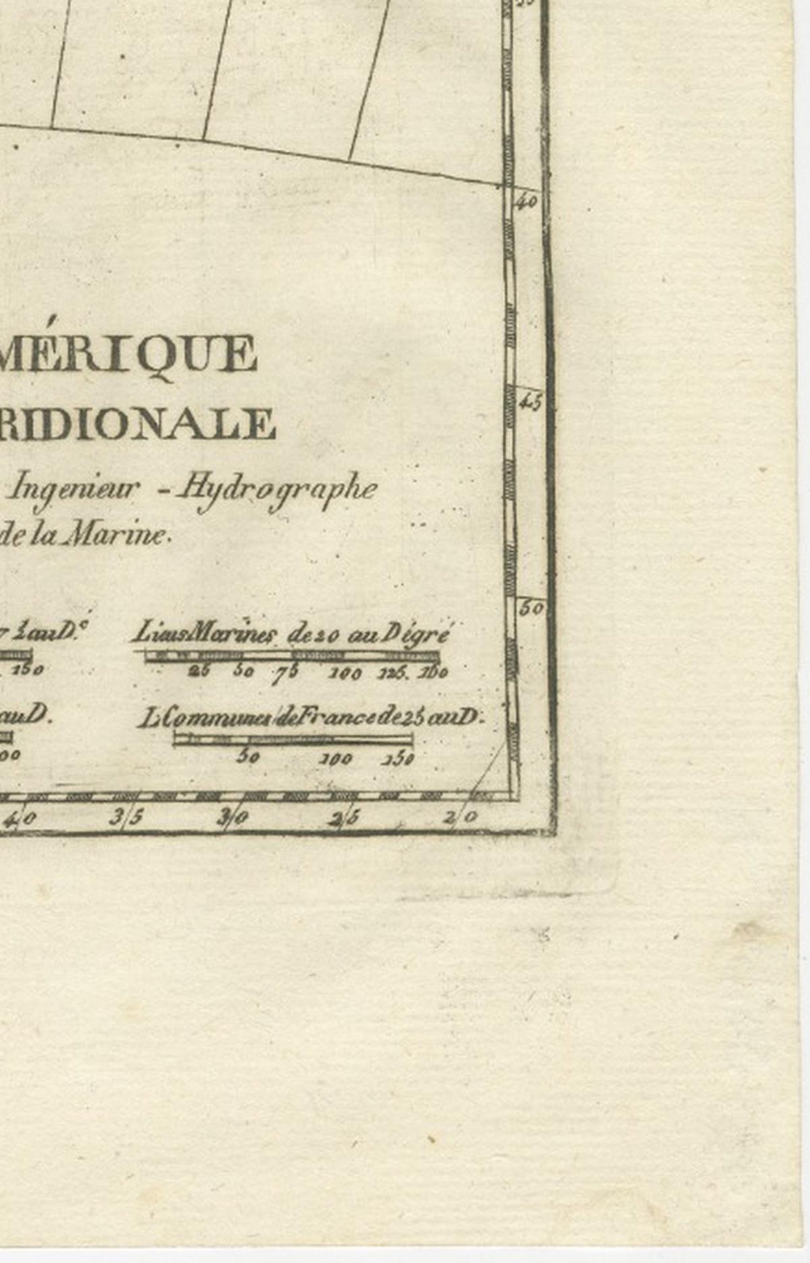
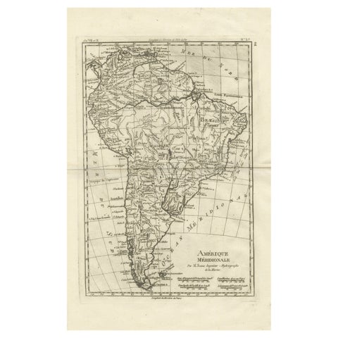
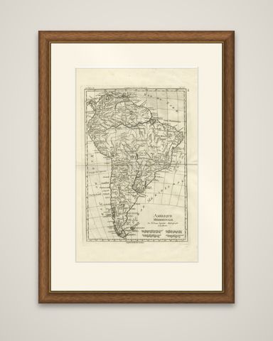
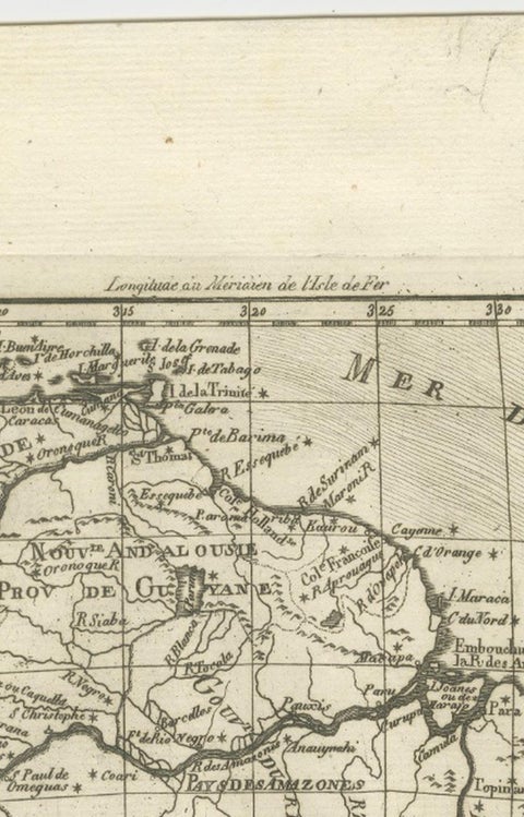
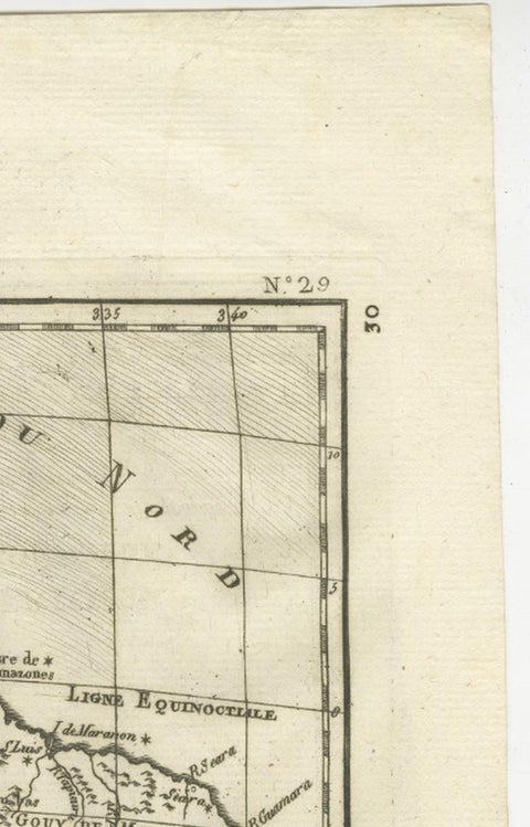
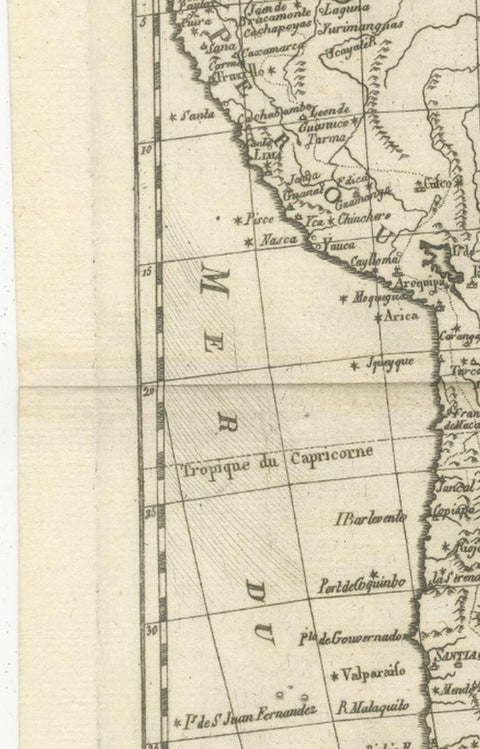
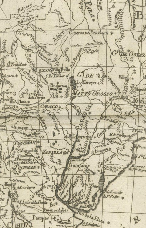
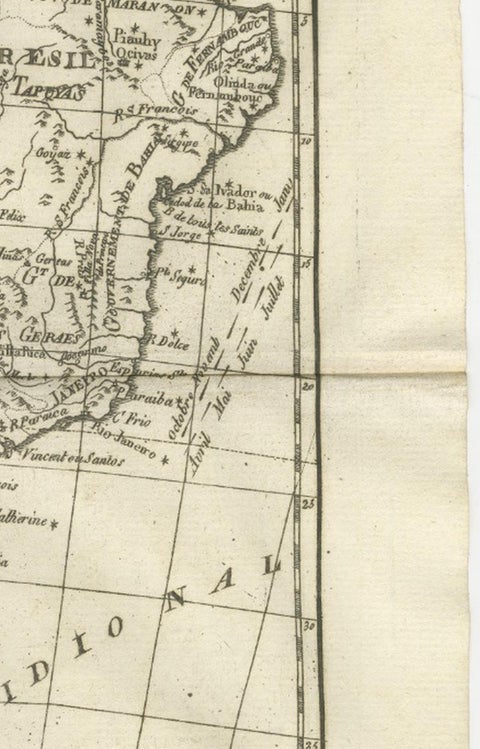
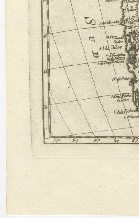
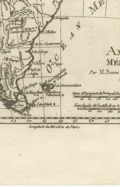
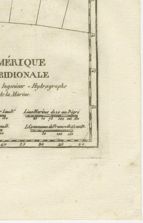
The whole of South America in a copper engraving by Rigobert Bonne, circa 1780, titled "Amérique Méridionale" and credited "Par M. Bonne, Ingénieur Hydrographe de la Marine." The sheet is printed in black without color, with a graticule of latitude and longitude and the meridian of Paris lettered along the foot.

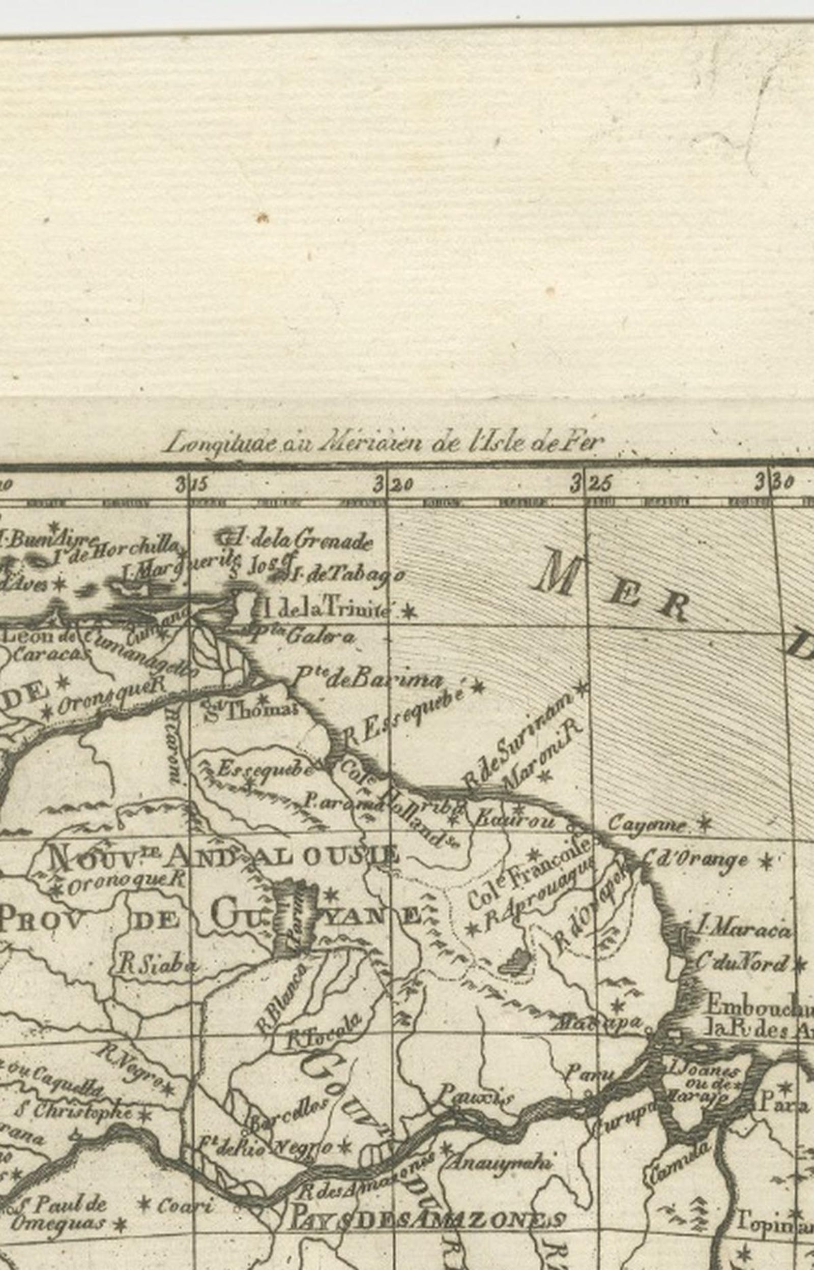
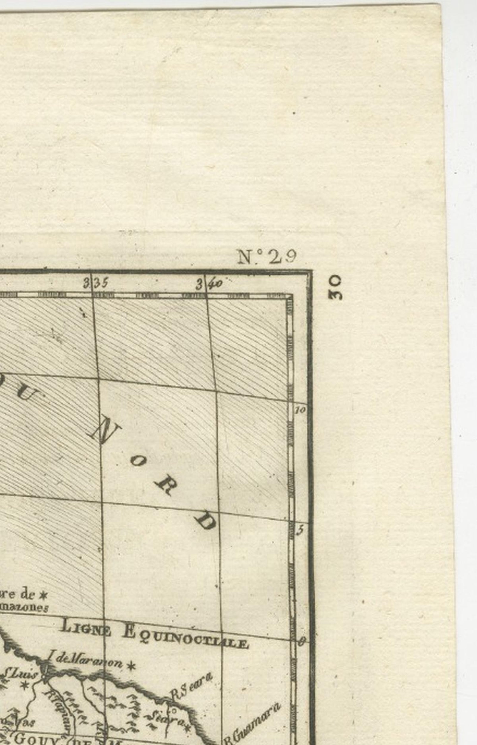
The continent is shown from the Caribbean coast down to Tierra del Fuego, with the "Mer du Nord" at the top, the "Océan Méridional" on the Atlantic side and the "Mer du Sud" along the Pacific. Brazil ("Brésil") fills the broad eastern bulge, and the Amazon is traced across the interior from the Andes to its mouth, with its "Ligne Equinoxiale" crossing near the equator. The Río de la Plata opens at the south, Chile and Peru line the Pacific coast, and the Tropic of Capricorn is marked at the left. Provinces, settlements and rivers are lettered throughout. Scale bars at the lower right give Spanish, Portuguese, Castilian and common French leagues.

Bonne was hydrographer to the French navy at the Dépôt de la Marine in Paris, succeeding Jacques-Nicolas Bellin. The sheet is part of the set of continental and regional maps he issued around 1780, and it records the Spanish and Portuguese division of the continent in the years before independence.

★

You might also like


Antique Map of the West Coast of South America with Costume Figures, circa 1860
circa 1860
$610
Antique Map of the Brazilian Coast with Rio de Janeiro Province, circa 1860
circa 1860
$325
Antique Map of South America with the Falklands and South Georgia, 1858
1858
$270
Antique Map of South America, with the Amazon Basin, Rand McNally, 1899
1899 · Rand McNally
$330
Antique Map of Central America, with Proposed Nicaragua Canal, 1899
1899 · Rand McNally
$385
Antique Hand-Colored Map of Chili by Willem Blaeu, 1658
1658 · Blaeu
$1,435
Map of South America 1792 by Elwe – Hand-Colored Antique Dutch Engraving
1792 · Guillaume Delisle
$1,905
Antique Map of South America ‘North’ by A.K. Johnston, 1865
1865 · W. & A. K. Johnston
$310

Ask about this print

We reply by email, usually within one working day.

Your favorites

Saved in this browser. Email the list to yourself to keep it on any device.

We use your email to send this list and, only if you tick the box and confirm, for occasional new arrivals. Every email has an unsubscribe link. Bartele Gallery, the Netherlands.

Your bag

Total

Each piece is bought on its own; shipping is added at checkout.





