New arrivals
Added in the last 30 days, newest first.
★ 205 original pieces ★
Type a place, a mapmaker or a year in the search box above.
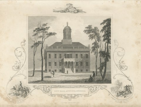
City Hall, Augusta, Georgia, with Kettle Creek 1779 Vignette, circa 1850
circa 1850
$205
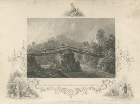
Head Waters of the Juniata, Pennsylvania, Penn's Treaty Vignette, circa 1850
circa 1850
$195
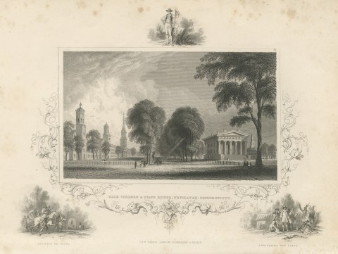
Yale College and State House, New Haven, Settlers En Route Vignette, circa 1850
circa 1850
$245
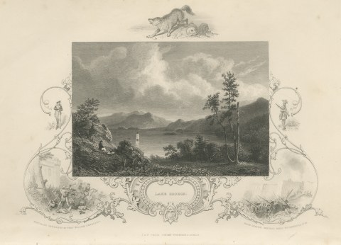
Lake George, New York, Fort William Henry and Ticonderoga Vignettes, circa 1850
circa 1850
$205
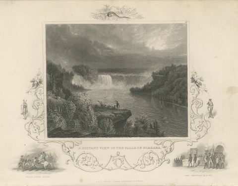
A Distant View of Niagara Falls, Major Andre Seized and Executed, circa 1850
circa 1850
$250
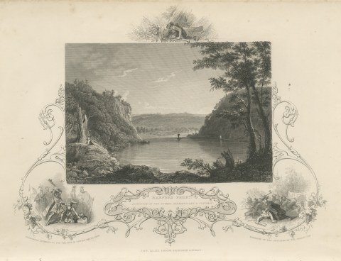
Harpers Ferry, Junction of the Shenandoah and Potomac, Pocahontas, circa 1850
circa 1850
$220
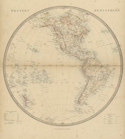
Antique Map of the Western Hemisphere with Highest Mountains Table, 1858
1858
$225
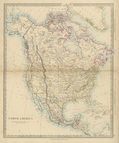
Antique Map of North America with Russian America and West Georgia, 1858
1858
$245
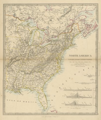
Antique Map of Canada and the United States with Canal Profiles, 1858
1858
$325
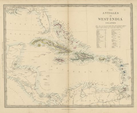
Antique Map of the Antilles or West India Islands with Island Areas, 1858
1858
$300

Antique Map of South America with the Falklands and South Georgia, 1858
1858
$270
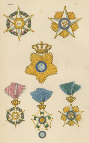
Orders of Brazil, Order of the Rose and Southern Cross, Plate XVI, 1844
1844
$330
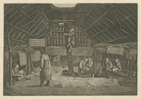
House in Oonalashka, Captain Cook Voyage, after Webber, Engraving, circa 1820
circa 1820 · Captain Cook voyages
$235
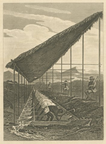
Enslaved Workers Washing for Diamonds in Brazil, Antique Engraving, 1815
1815
$290
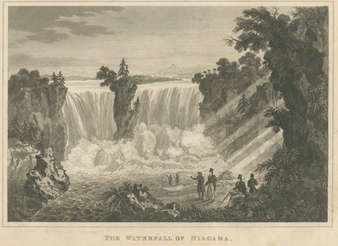
The Waterfall of Niagara, Engraving Published by Thomas Kelly, circa 1830
circa 1830
$255
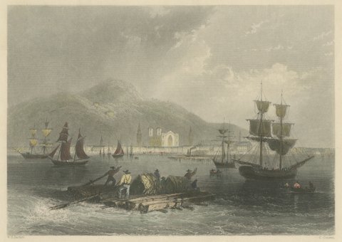
Montreal, Canadian Scenery, after W. H. Bartlett, Antique Engraving, circa 1842
circa 1842
$270
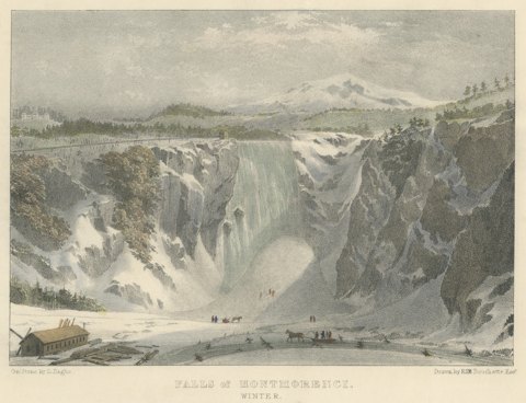
Montmorenci Falls, Canadian Winter Scene, Lithograph after Bouchette, circa 1832
circa 1832
$360
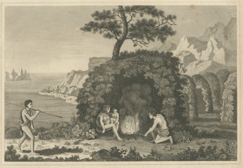
Inhabitants of Tierra del Fuego, Engraving Published by Thomas Kelly, circa 1825
circa 1825 · Captain Cook voyages
$180
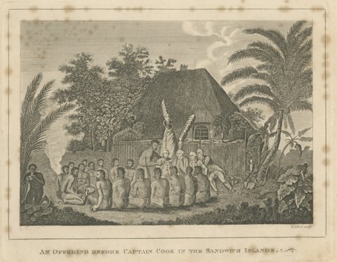
Offering Before Captain Cook, Hawaii, after Webber, Engraving, circa 1790
circa 1790 · Captain Cook voyages
$125
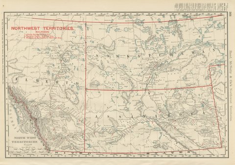
Antique Map of the North West Territories, Before Alberta and Saskatchewan, 1899
1899 · Rand McNally
$330
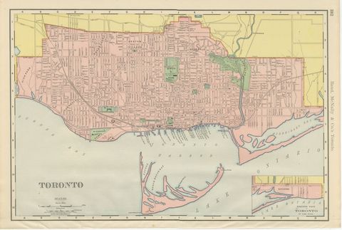
Antique Map of Toronto, with Queen's Park, Rand McNally, 1899
1899 · Rand McNally
$330
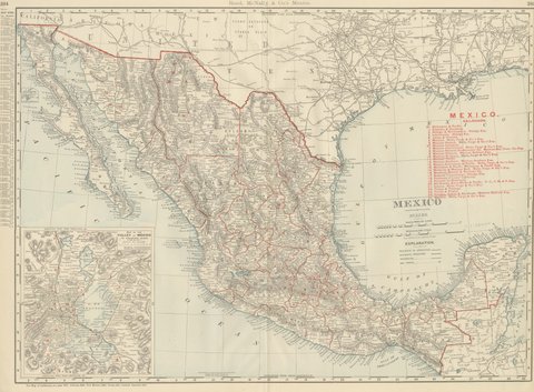
Antique Map of Mexico, with Valley of Mexico Inset, Rand McNally, 1899
1899 · Rand McNally
$440
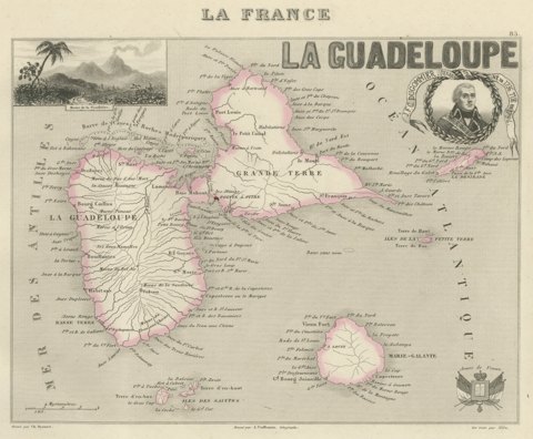
Antique Map of Guadeloupe, Marie-Galante and the Saintes, circa 1860
circa 1860
$360
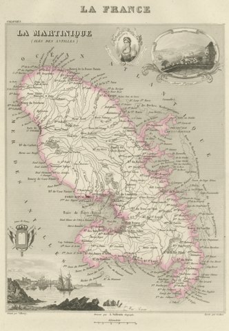
Antique Map of Martinique, Fort-Royal and the Caravelle, circa 1860
circa 1860
$360