Original antique maps & prints of
Washington, D.C.
★ 3 original pieces ★
Laid out in the 1790s on a plan by Pierre L'Enfant, Washington became the seat of government in 1800. We currently hold 3 original sheets of Washington, D.C., published between 1872 and 1899. Of these, 3 are maps and 1 is a view or print. The earliest is Antique Print of the United States Capitol by Johnson '1872'.
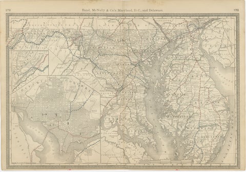
Maryland, D.C. & Delaware Antique Map – Old Line State Railroads, c.1888
1888 · Rand McNally
$515
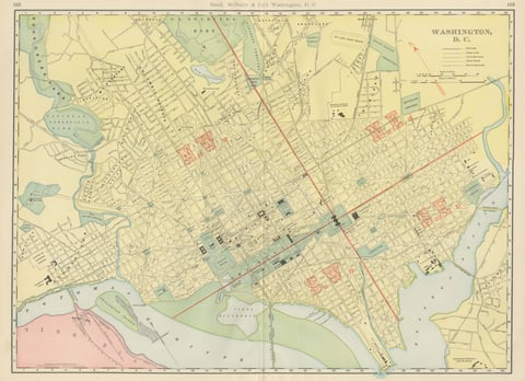
Antique Map of Washington, D.C., The Nation's Capital, Rand McNally, 1899
1899 · Rand McNally
$500
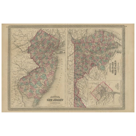
Antique Map of New Jersey, Delaware and Maryland by Johnson, 1872
1872 · A. J. Johnson
$335
★
More of Mid-Atlantic