Original antique maps & prints of
New Jersey
★ 10 original pieces ★
Between New York and Philadelphia, New Jersey was crossed by some of the earliest railroads in the country. We currently hold 10 original sheets of New Jersey, published between 1802 and 1899. Of these, 7 are maps and 3 are views and prints. The earliest is Antique Map of the Northeastern United States and Canada by Tardieu, 1802.
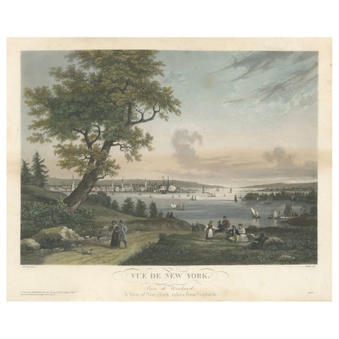
View of New York City from Weehawken, Rare Hand-Colored 1834 Aquatint Print
1834
$6,045
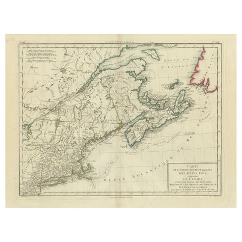
Antique Map of the Northeastern United States and Canada by Tardieu, 1802
1802
$625
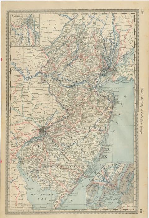
New Jersey Antique Map – The Garden State, Railroads & Counties, c.1888
1888 · Rand McNally
$515
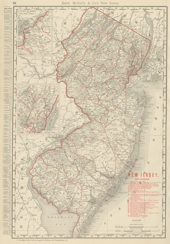
Antique Map of New Jersey, The Garden State, Rand McNally, 1899
1899 · Rand McNally
$385
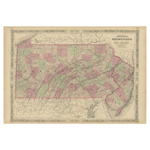
Historic 1864 Civil War Map of Pennsylvania and New Jersey with Coastal Focus
1864
$380
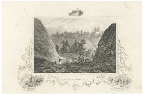
Passaic Falls Antique Engraving, New Jersey Landscape, c.1830
1830
$370
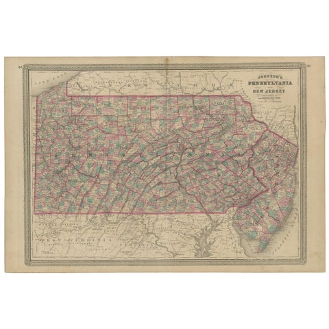
Antique Map of Pennsylvania and New Jersey by Johnson, 1872
1872 · A. J. Johnson
$360
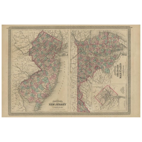
Antique Map of New Jersey, Delaware and Maryland by Johnson, 1872
1872 · A. J. Johnson
$335
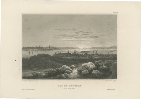
Bay of New York from Hoboken – Antique New York Harbor Engraving, c.1850
1850
$325
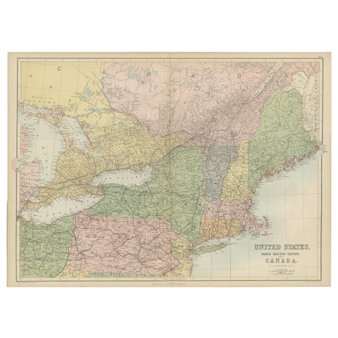
Antique Map of The United States and Canada by A & C. Black, 1870
1870 · Adam & Charles Black
$280
★
More of Mid-Atlantic