A Bartele Gallery CollectionLangweer · Jakarta

American Maps & Prints
Original antique maps, charts & prints of the Americas ★ Originals only


Home › United States › The Pacific Coast
Original antique maps & prints of

Hawaii

★ 6 original pieces ★

Called the Sandwich Islands by Captain Cook in 1778, Hawaii was annexed by the United States in 1898 and became a state in 1959. We currently hold 6 original sheets of Hawaii, published between 1778 and 1960. Of these, 6 are maps and 33 are views and prints. The earliest is The Ceremonial Offering to Captain Cook in Hawaii, Engraved in 1778.
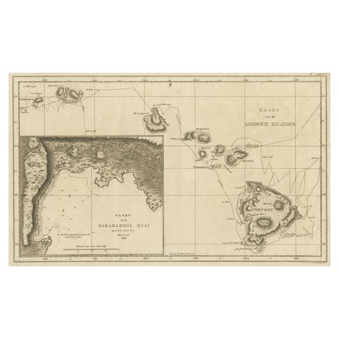
Map of the Hawaiian Islands with a Large Inset of Karakakooa Bay, 1803
1803
$2,520
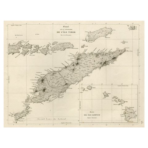
Rare Antique Map with Timor and Nearby Islands Plus an Inset of Hawaii, 1825
1825
$950
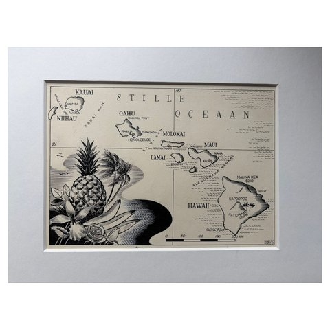
Original Illustration Map of Hawaii by Charles Burki, ca. 1948 – Ink Drawing
1948
$885
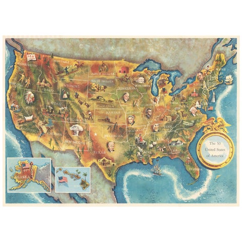
American Election Map and 1960 Presidential Fact Sheet, Published 1960
1960
$670
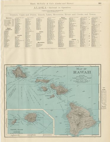
Antique Map of Hawaii, with Oahu and Honolulu, Rand McNally, 1899
1899 · Rand McNally
$500
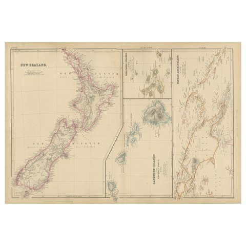
New Zealand, Antique Map, Pacific Islands, Sandwich Islands, Blackie Atlas 1860
1860
$405
★

More of The Pacific Coast


Alaska
19 pieces
California
42 pieces
Oregon
4 pieces
Washington
5 pieces

Your favorites

Saved in this browser. Email the list to yourself to keep it on any device.

We use your email to send this list and, only if you tick the box and confirm, for occasional new arrivals. Every email has an unsubscribe link. Bartele Gallery, the Netherlands.

Your bag

Total

Each piece is bought on its own; shipping is added at checkout.