Original antique maps & prints of
Indiana
★ 6 original pieces ★
Indiana was admitted as a state in 1816, part of the settlement of the old Northwest Territory. We currently hold 6 original sheets of Indiana, published between 1864 and 1899. The earliest is Decorative 1864 Civil War Era Map of Indiana with Lake Michigan Detail.

Antique Map of the Coal Fields of the United States by Walker '1874'
1874
$760
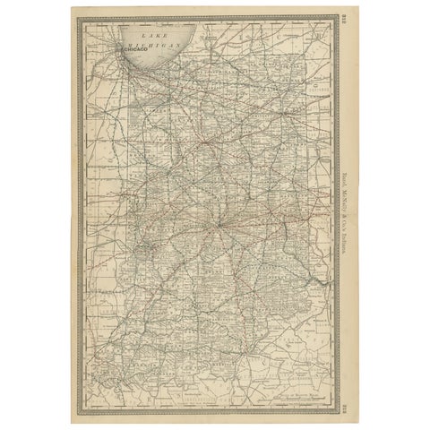
Antique Map of Indiana – The Hoosier State with Railroads & Counties, 1888
1888 · Rand McNally
$515
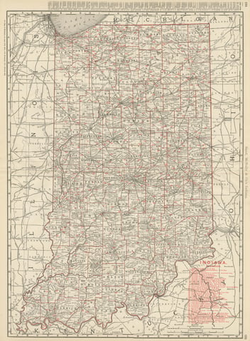
Antique Map of Indiana, The Hoosier State, Rand McNally, 1899
1899 · Rand McNally
$385
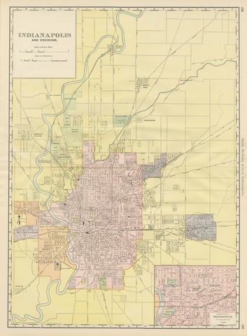
Antique Map of Indianapolis, The Circle City, Rand McNally, 1899
1899 · Rand McNally
$385
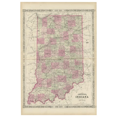
Decorative 1864 Civil War Era Map of Indiana with Lake Michigan Detail
1864
$380
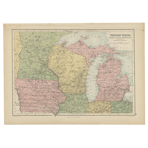
Antique Map of Western States, Michigan, Wisconsin, Iowa by A & C. Black, 1870
1870 · Adam & Charles Black
$195
★
More of The Midwest