Original antique maps & prints of
Minnesota
★ 7 original pieces ★
Minnesota was admitted as a state in 1858, its lakes and the headwaters of the Mississippi drawn in detail on its maps. We currently hold 7 original sheets of Minnesota, published between 1850 and 1899. Of these, 5 are maps and 2 are views and prints. The earliest is Mississippi River Bluffs St. Paul, Antique Steel Engraving c.1850.
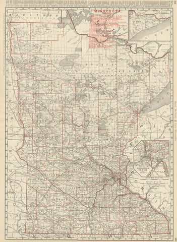
Antique Map of Minnesota, The North Star State, Rand McNally, 1899
1899 · Rand McNally
$440
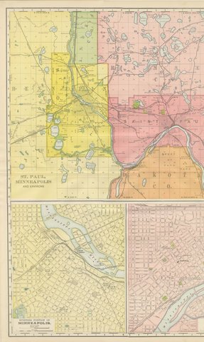
Antique Map of St. Paul and Minneapolis, The Twin Cities, Rand McNally, 1899
1899 · Rand McNally
$385
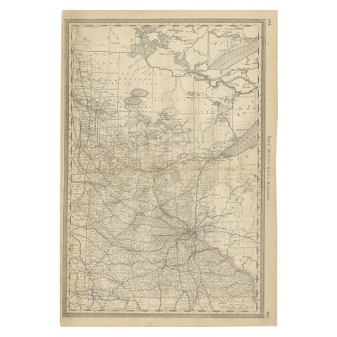
Antique Minnesota Map Wall Art by Rand McNally, Color Lithograph, 1888
1888 · Rand McNally
$380
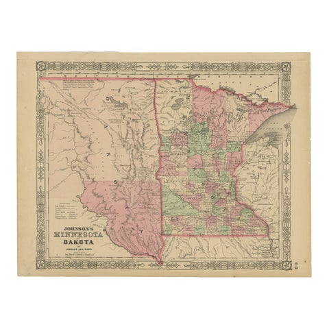
Minnesota and Dakota Map – Johnson, Hand-Colored, USA c.1864
1864
$325
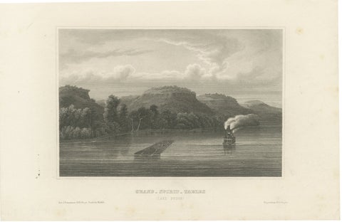
Grand Spirit Tables, Lake Pepin – Mississippi River Steamboat View, c.1850
1850
$270
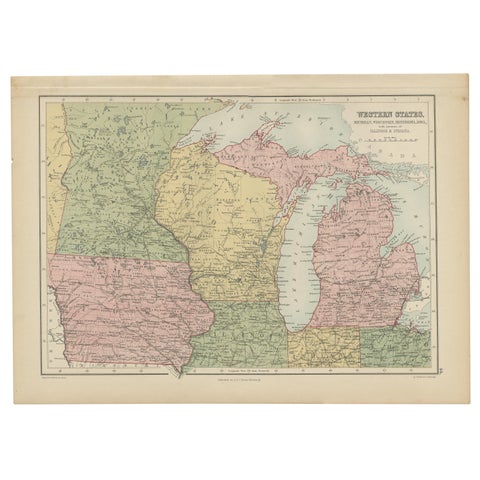
Antique Map of Western States, Michigan, Wisconsin, Iowa by A & C. Black, 1870
1870 · Adam & Charles Black
$195
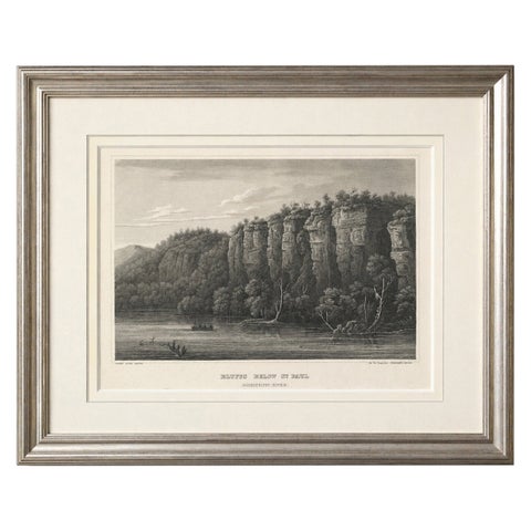
Mississippi River Bluffs St. Paul, Antique Steel Engraving c.1850
1850
$195
★
More of The Midwest