Original antique maps & prints of
Maine
★ 6 original pieces ★
Part of Massachusetts until 1820, Maine became a state under the Missouri Compromise. We currently hold 6 original sheets of Maine, published between 1817 and 1899. Of these, 5 are maps and 1 is a view or print. The earliest is Boundary Marker at St. Croix River Source, 1817 – A Historic Diplomatic Monument.
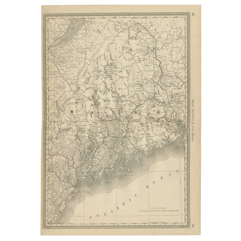
Maine Antique Railroad Map c.1888 – Pine Tree State Counties & Settlements
1888 · Rand McNally
$515
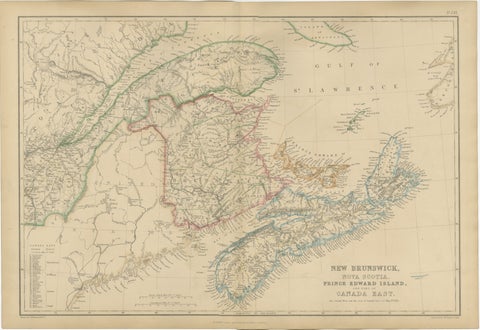
Antique Map of New Brunswick, Nova Scotia, Prince Edward Island and Canada East
$405
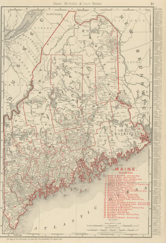
Antique Map of Maine, The Pine Tree State, Rand McNally, 1899
1899 · Rand McNally
$385
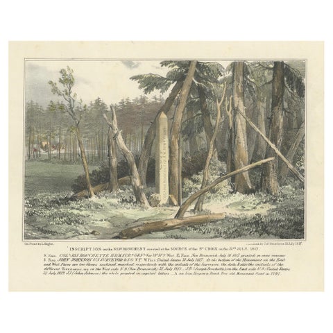
Boundary Marker at St. Croix River Source, 1817 – A Historic Diplomatic Monument
1817
$300
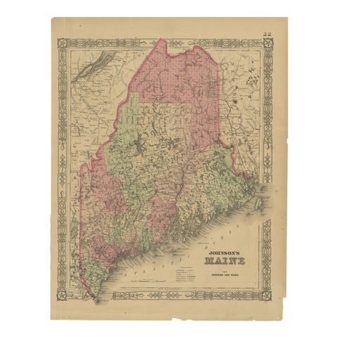
Maine County Map – Johnson, Hand-Colored, USA c.1864
1864
$300
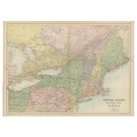
Antique Map of The United States and Canada by A & C. Black, 1870
1870 · Adam & Charles Black
$280
★
More of New England