Original antique maps & prints of
Massachusetts
★ 15 original pieces ★
Plymouth, Boston and Cape Cod: the oldest English settlements in New England and some of the earliest American places to be mapped in detail. We currently hold 15 original sheets of Massachusetts, published between 1642 and 1899. Of these, 8 are maps and 7 are views and prints. The earliest is Antique New England Map Blaeu c.1642 – Nova Belgica & Anglia, Ships.
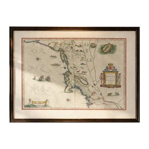
Antique New England Map Blaeu c.1642 – Nova Belgica & Anglia, Ships
1642 · Blaeu
$8,785
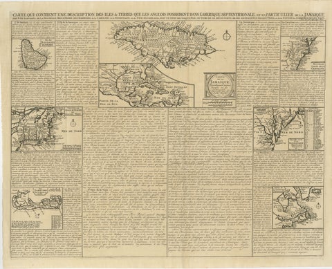
Rare French Colonial America Map, Jamaica Barbados Carolina, c.1719
1719
$1,450
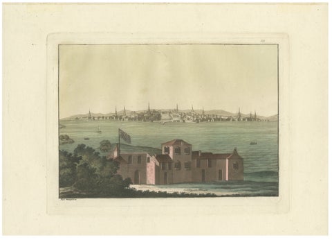
Boston Harbor View from Castle William, Hand-Colored Aquatint by Fumagalli, 1827
1827
$985
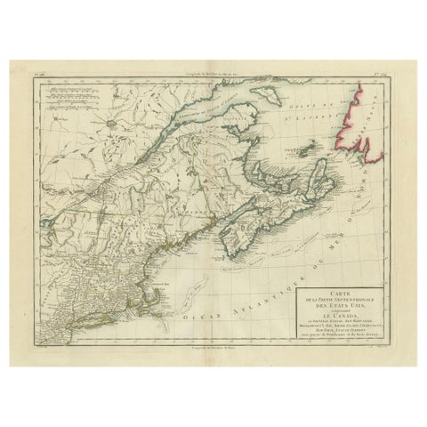
Antique Map of the Northeastern United States and Canada by Tardieu, 1802
1802
$625
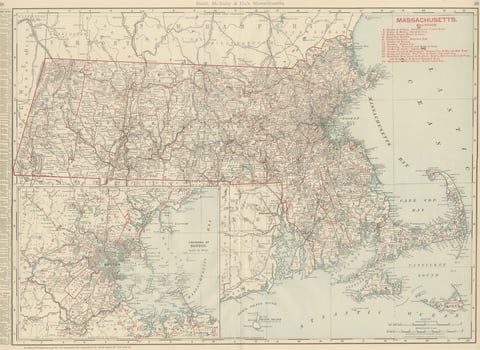
Antique Map of Massachusetts, The Bay State, Rand McNally, 1899
1899 · Rand McNally
$440
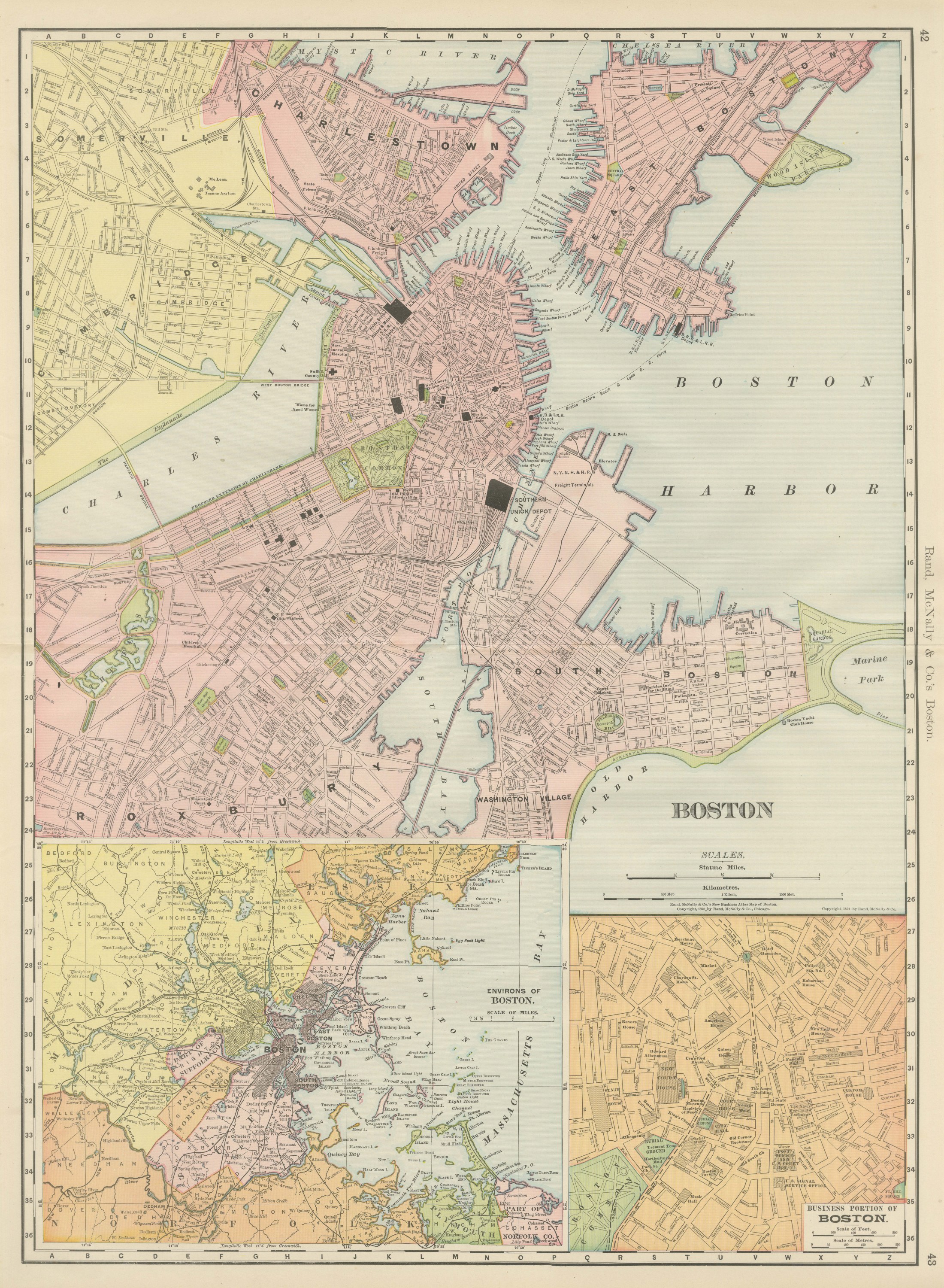
Antique Map of Boston, with Harbor and Environs Inset, Rand McNally, 1899
1899 · Rand McNally
$440
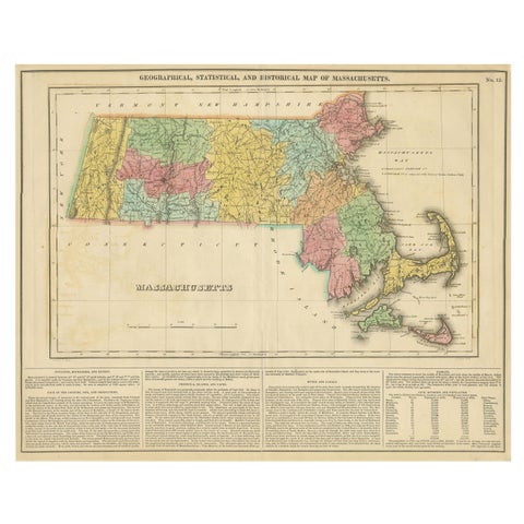
Antique Geographical, Historical and Statistical Map of Massachusetts, 1822
1822
$425
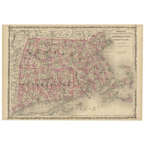
Rare 1864 Civil War Era Map of Massachusetts, Connecticut, and Rhode Island
1864
$405
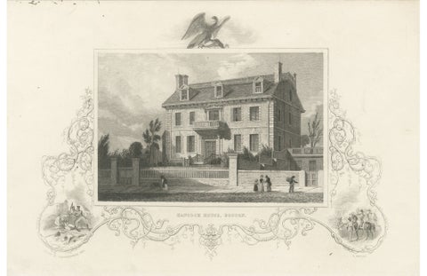
Hancock House Boston - Antique Engraving American Revolution, ca.1830
1830
$370
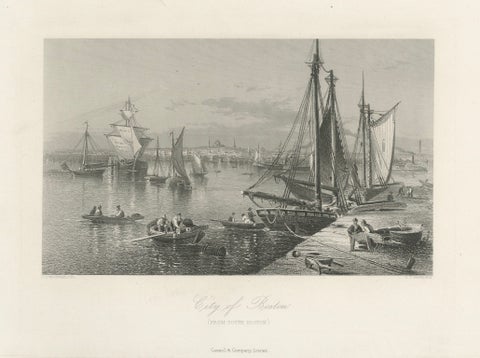
City of Boston, Harbor View from South Boston – Antique Maritime Engraving, 1870
1870
$325
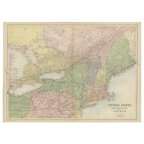
Antique Map of The United States and Canada by A & C. Black, 1870
1870 · Adam & Charles Black
$280
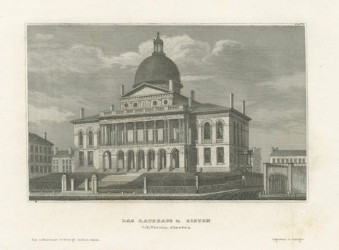
Boston State House on Beacon Hill, Antique Steel Engraving ca. 1850
1850
$270
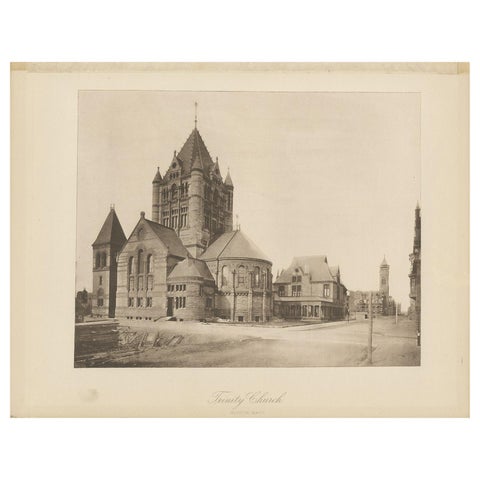
Antique Print of the Trinity Church in the city of Boston, 1887
1887
$170
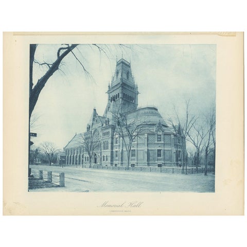
Antique Print of Memorial Hall in Cambridge, '1887'
1887
$170
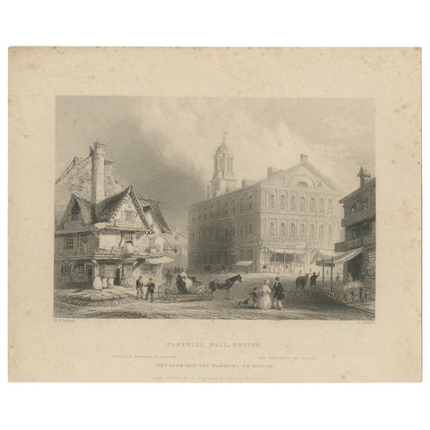
Antique Print of Faneuil Hall in Boston, circa 1860
1860
$110
★
More of New England