Original antique maps & prints of
Connecticut
★ 6 original pieces ★
One of the thirteen colonies, Connecticut adopted its Fundamental Orders in 1639. We currently hold 6 original sheets of Connecticut, published between 1802 and 1899. Of these, 4 are maps and 2 are views and prints. The earliest is Antique Map of the Northeastern United States and Canada by Tardieu, 1802.
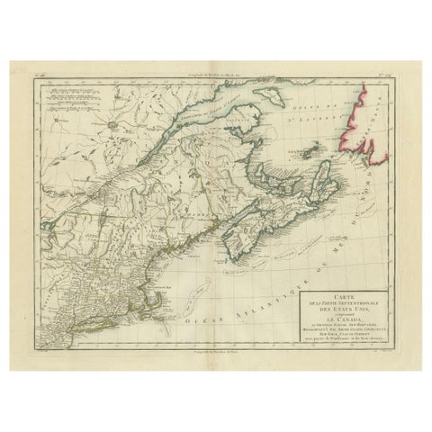
Antique Map of the Northeastern United States and Canada by Tardieu, 1802
1802
$625
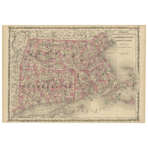
Rare 1864 Civil War Era Map of Massachusetts, Connecticut, and Rhode Island
1864
$405
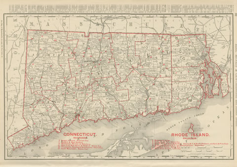
Antique Map of Connecticut and Rhode Island, with Narragansett Bay, 1899
1899 · Rand McNally
$385
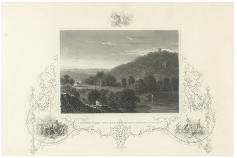
Monte Video Residence Antique Engraving, Connecticut View, c.1830
1830
$370
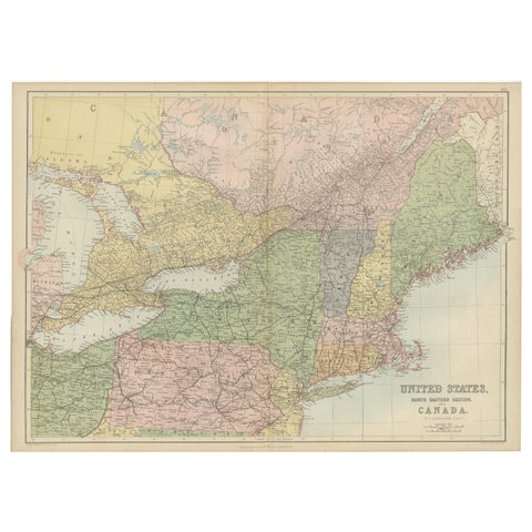
Antique Map of The United States and Canada by A & C. Black, 1870
1870 · Adam & Charles Black
$280
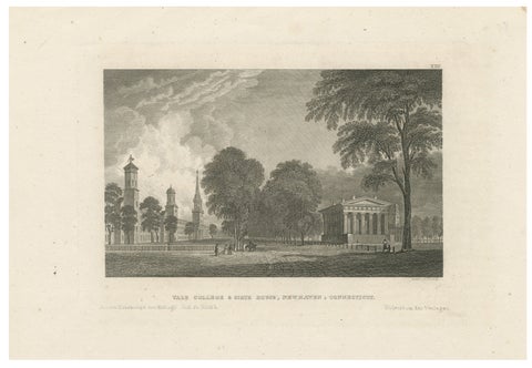
Antique Yale College & State House New Haven Connecticut, Meyer ca. 1850
1850
$270
★
More of New England