Original antique maps & prints of
New York
★ 30 original pieces ★
From New Netherland and New Amsterdam to the Erie Canal and the Manhattan street grid, New York is the most frequently mapped state in our collection. We currently hold 30 original sheets of New York, published between 1642 and 1964. Of these, 15 are maps and 38 are views and prints. The earliest is Antique New England Map Blaeu c.1642 – Nova Belgica & Anglia, Ships.
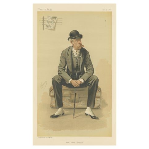
Chromolithograph Vanity Fair Caricature Print 'New York Herald'
1884
$245
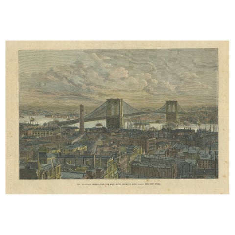
The Brooklyn Bridge Over the East River, Between Long Island and New York, 1883
1883
$245
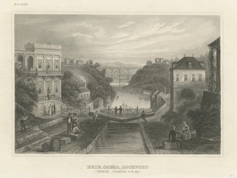
Erie Canal Lockport New York – Antique Canal Engineering Steel Engraving, 1854
1854 · Meyer
$235
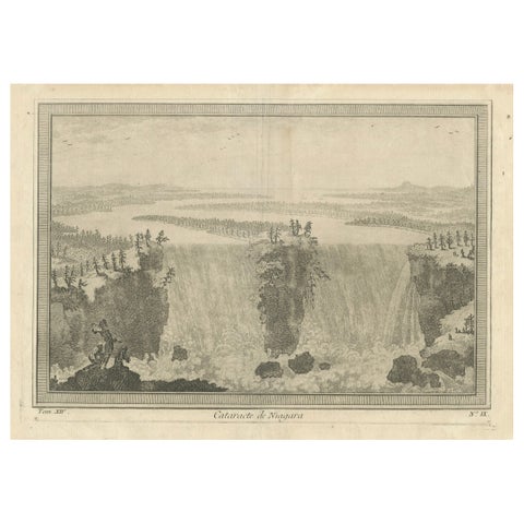
Niagara Falls, Cataracte de Niagara – Early French Engraved View, c.1780
1780
$225
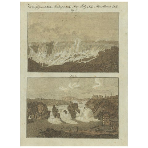
Majestic Waterfalls: Niagara Falls and Rhine Falls in 19th-Century Engraving
$145
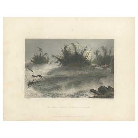
Antique Print of the Rapids of the Niagara Falls by Brandard, 1837
1837
$110
← PreviousPage 2 of 2
★
More of Mid-Atlantic