Original antique maps & prints of
New York
★ 6 original pieces ★
From New Netherland and New Amsterdam to the Erie Canal and the Manhattan street grid, New York is the most frequently mapped state in our collection. We currently hold 6 original sheets of New York, published between 1642 and 1964. Of these, 15 are maps and 38 are views and prints. The earliest is Antique New England Map Blaeu c.1642 – Nova Belgica & Anglia, Ships.
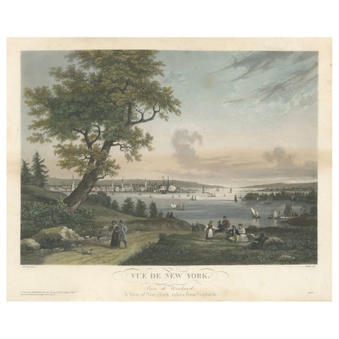
View of New York City from Weehawken, Rare Hand-Colored 1834 Aquatint Print
1834
$6,045
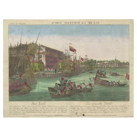
Optical View of New York City Manhattan Harbor Hand-Colored Augsburg - ca.1775
1775
$440
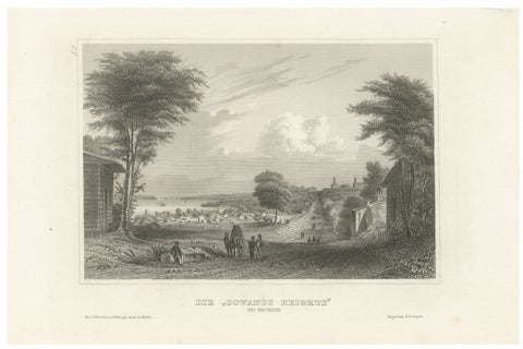
Antique View of Gowanus Heights Brooklyn New York, Meyer ca. 1850
1850
$270
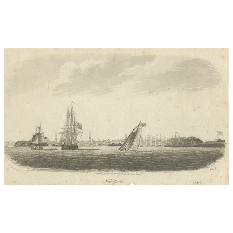
New York Harbor Panorama, sailing ships & city skyline, British engraving, 18050
1805
$245
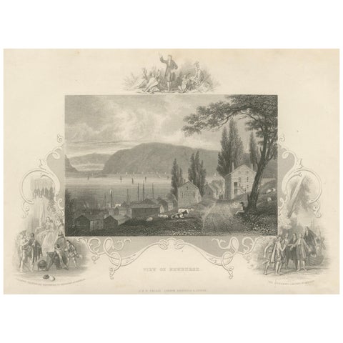
Hudson River View of Newburgh NY – Antique Engraving from c. 1850
1850 · John Tallis
$145
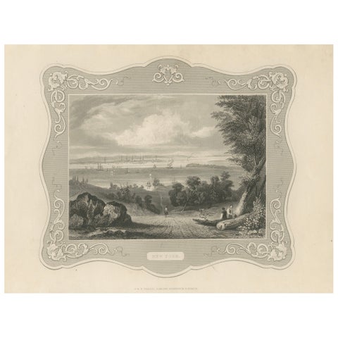
Panoramic View of New York City – Antique Engraving, c. 1850
1850 · John Tallis
$145
★
More of Mid-Atlantic