Original antique maps & prints of
New York
★ 2 original pieces ★
From New Netherland and New Amsterdam to the Erie Canal and the Manhattan street grid, New York is the most frequently mapped state in our collection. We currently hold 2 original sheets of New York, published between 1642 and 1964. Of these, 15 are maps and 38 are views and prints.
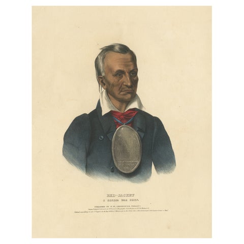
Large Antique Print of Red-Jacket, a Seneca War Chief, circa 1838
1838
$2,125
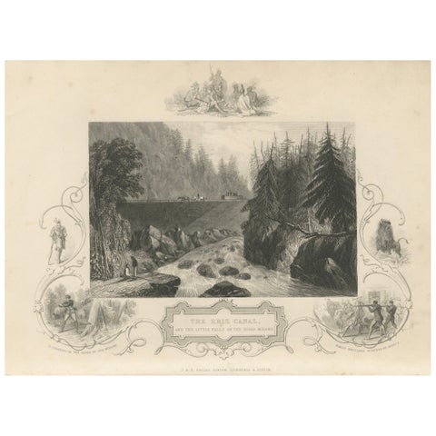
Antique Engraving of the Erie Canal and Little Falls on the River Mohawk, c.1850
1850 · John Tallis
$145
★
More of Mid-Atlantic