Original antique maps & prints of
Nevada
★ 4 original pieces ★
The Comstock Lode, found in 1859, made Nevada; it was admitted as a state in 1864, during the Civil War. We currently hold 4 original sheets of Nevada, published between 1855 and 1945. Of these, 2 are maps and 2 are views and prints. The earliest is Franklin Valley, Great Basin Nevada – Beckwith Survey Engraving, c.1855.
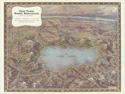
Vintage Lake Tahoe Bird’s-Eye View Pictorial Map by Gerald A. Eddy, circa 1945
1945
$605
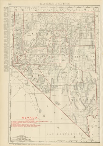
Antique Map of Nevada, The Silver State, Rand McNally, 1899
1899 · Rand McNally
$385
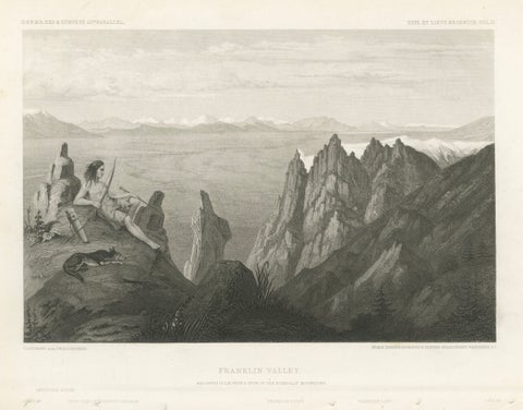
Franklin Valley, Great Basin Nevada – Beckwith Survey Engraving, c.1855
1855
$290
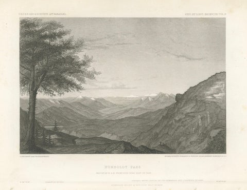
Humboldt Pass, Great Basin Nevada – Beckwith Survey Engraving, c.1855
1855 · Alexander von Humboldt
$245
★
More of The Mountain West