Original antique maps & prints of
The Caribbean
★ 99 original pieces ★
The West Indies were among the most contested and most mapped waters in the world. Original charts, island maps and views of Cuba, Hispaniola, Jamaica, the Bahamas, Bermuda and the Lesser Antilles.
Cuba
16 pieces
Jamaica
18 pieces
Hispaniola (Haiti & Dominican Republic)
16 pieces
The Bahamas
3 pieces
Bermuda
2 pieces
The Lesser Antilles
34 pieces
The West Indies
70 pieces
★
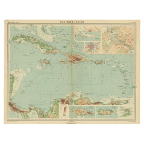
Antique Map of the West Indies in Full Color, 1922
1922
$140
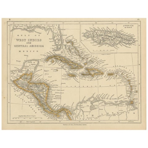
Antique Map of the West Indies and Central America by Lowry '1852'
1852
$110
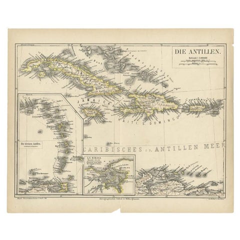
Antique Map of the Antilles by Meyer, 1878
1878 · Meyer
$100
← PreviousPage 5 of 5