Original antique maps & prints of
The Lesser Antilles
★ 34 original pieces ★
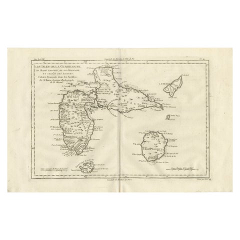
Antique Map Guadeloupe & Marie Galante, Rigobert Bonne Caribbean Chart c1780
circa 1780 · Rigobert Bonne
$325
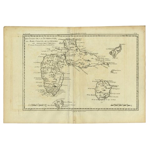
Antique Map of Guadeloupe with Les Saintes, Grand Bourg and La Désirade, c.1780
1780 · Jacques-Nicolas Bellin
$315
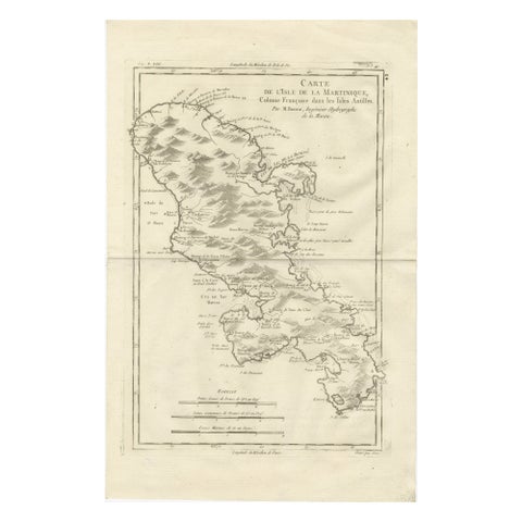
Antique Map Martinique Caribbean Island Chart, Rigobert Bonne French Map, c.1780
1780 · Rigobert Bonne
$315
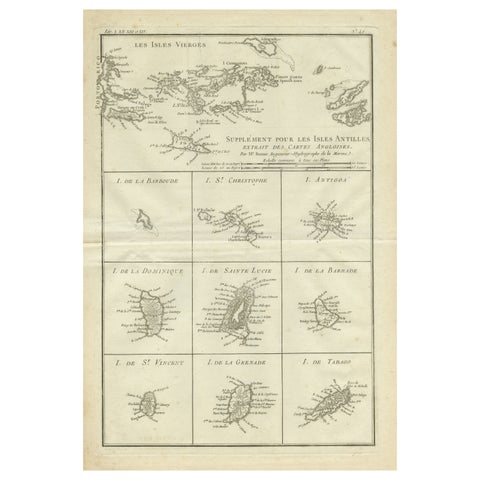
Original Antique Map of the Virgin Islands with Insets of Caribbean Isles, 1787
1787 · Jacques-Nicolas Bellin
$290
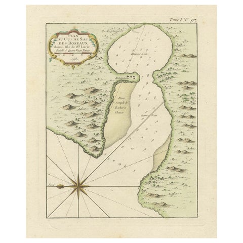
Roseaux, St. Lucia Island Map by Bellin, Handcolored Engraving, 1763
1763 · Jacques-Nicolas Bellin
$275
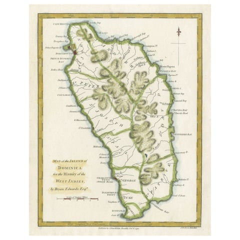
Original Antique Map of the Island of Dominica in the West Indies, 1794
1794
$270
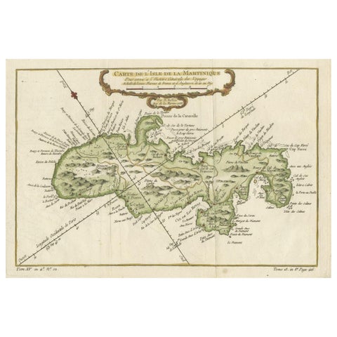
Martinique Island in the Caribbean by Bellin Original Original Antique Map, 1780
1780 · Jacques-Nicolas Bellin
$265
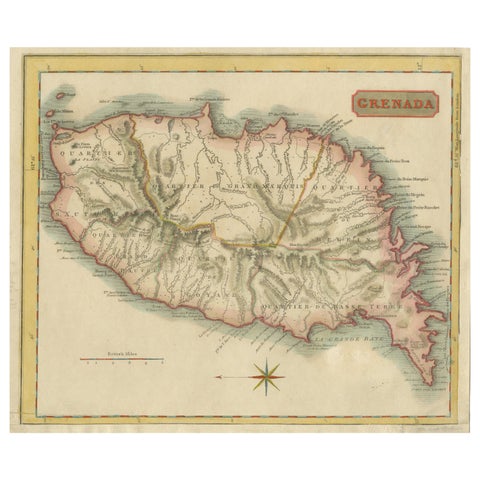
Copper Engraved Grenada Map by John Thompson Published in 1810
1810 · John Thomson
$255
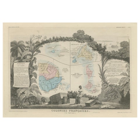
Map of French Colonies in the Americas: St. Martin, French Guiana and St. Pierre
$215
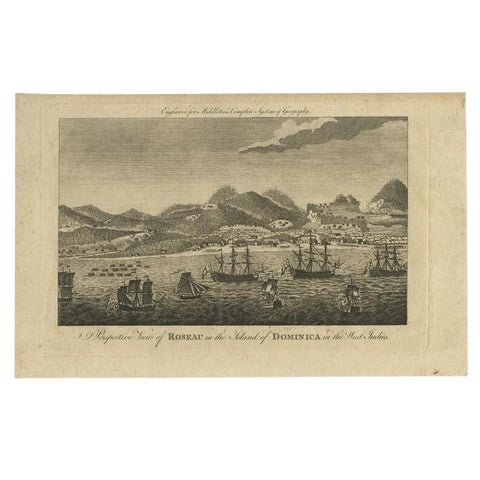
Antique Print of Roseau, Place in Dominica Island in the West-Indies, 1779
1779
$200
← PreviousPage 2 of 2
★
More of The Caribbean