Antique maps & prints of the Americas
Colonial America
★ 87 original pieces ★
Before independence the continent was drawn mostly in Amsterdam, Paris and London. Maps from this period show coasts better than interiors, rival colonial claims, and occasionally California as an island.
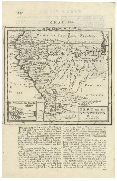
Antique Map of Peru and the Amazon by Herman Moll with Galapagos, c.1709
1709 · Herman Moll
$335
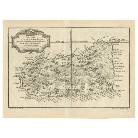
Original Engraved Map of Saint Lucia in the West Indies by Bellin, 1758
1758 · Jacques-Nicolas Bellin
$300
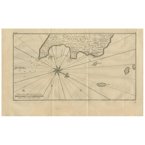
Antique Map of Coiba Island by Anson '1749'
1749
$280
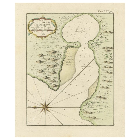
Roseaux, St. Lucia Island Map by Bellin, Handcolored Engraving, 1763
1763 · Jacques-Nicolas Bellin
$275
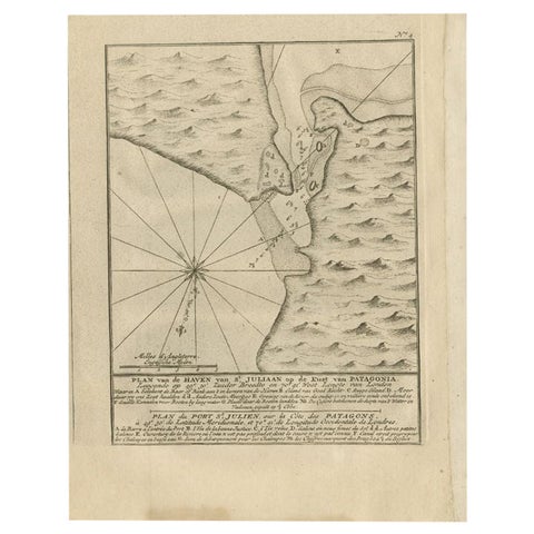
Antique Map of Puerto San Julian in Patagonia, 1749
1749
$270
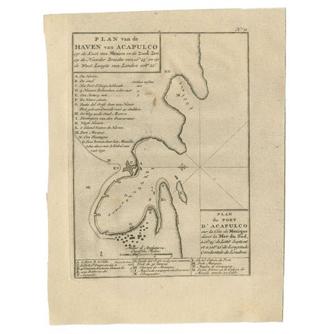
Antique Map of the Port of Acapulco in Mexico, 1749
1749
$270
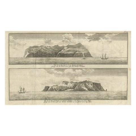
Engraving of Alejandro Selkirk Island, Juan Fernández-archipel, Chile, 1749
1749
$245
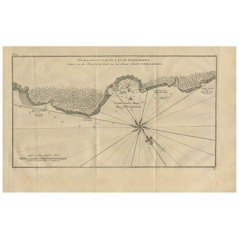
Antique Map of Juan Fernandez Island and Cumberland Bay, Chile - ca.1749
1749
$225
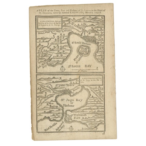
Antique Map of Fort Saint Louis and Santiago de Cuba, 1748
1748
$215
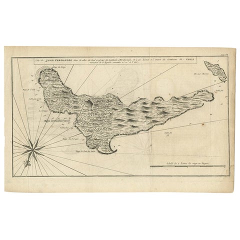
Antique Map of Juan Fernandez, Chile, c.1740
1740
$215
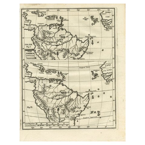
Antique Map of South America by Scherer, c.1700
1700 · Thomas Kitchin
$170
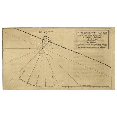
Navigational Chart of Mexico's Coast, with Acapulco and Port Marquis, 1748
1748
$155
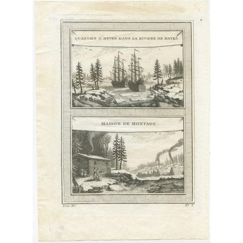
Antique Print of the Region of the Hayes river, Northern Manitoba, Canada, 1759
1759
$145
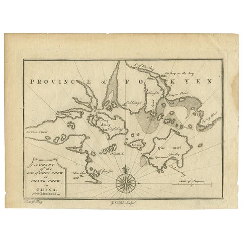
Antique Map of the Bay of Cordes and Surroundings by Hawkesworth, 1774
1774
$125
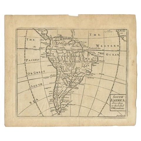
Antique Map of South America by Gordon, c.1745
1745
$85
← PreviousPage 4 of 4
★
Other periods