Antique maps & prints of the Americas
Colonial America
★ 7 original pieces ★
Before independence the continent was drawn mostly in Amsterdam, Paris and London. Maps from this period show coasts better than interiors, rival colonial claims, and occasionally California as an island.
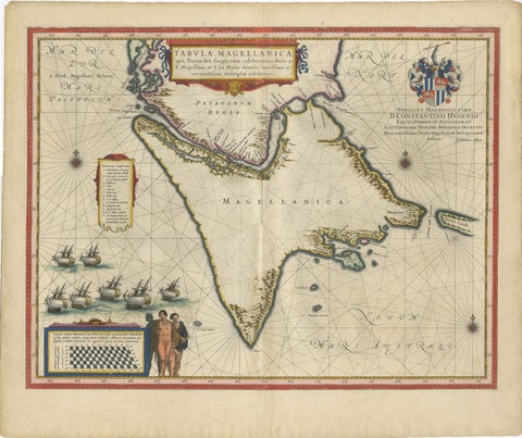
Blaeu Strait of Magellan Map – Tierra del Fuego, Decorative Sea Chart, 1642
1642 · Blaeu
$7,555
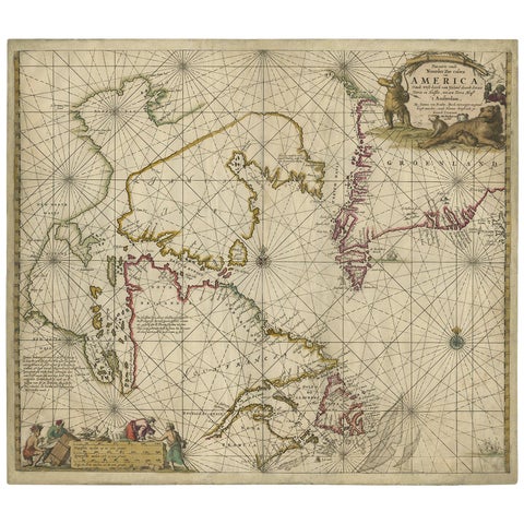
Antique Sea Chart of Hudson Bay and Arctic Canada by Van Keulen, circa 1681
1681 · Van Keulen
$5,315
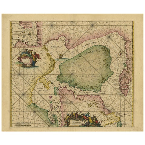
Greenland & North America – Antique Sea Chart by Frederick de Wit, 1745
1745 · Frederick de Wit
$3,920
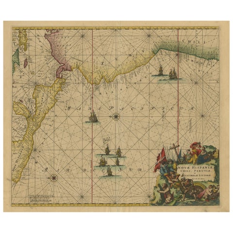
Sea Chart of Central America and the Northwest Coast of South America, ca.1745
1745 · Frederick de Wit
$2,740
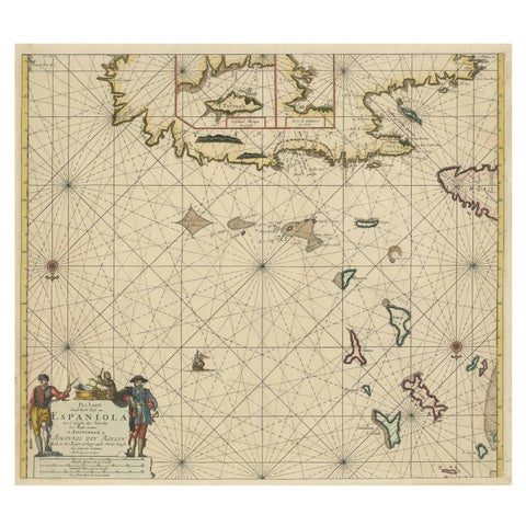
Original Antique Sea Chart - the Northern Part of Hispaniola, Western Cuba, 1684
1684 · Van Keulen
$2,125
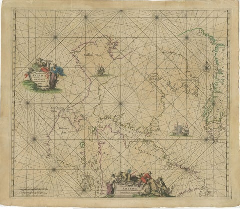
1690 Frederick de Wit Sea Chart of Hudson Bay, Baffin Bay and Greenland
1690 · Frederick de Wit
$1,500
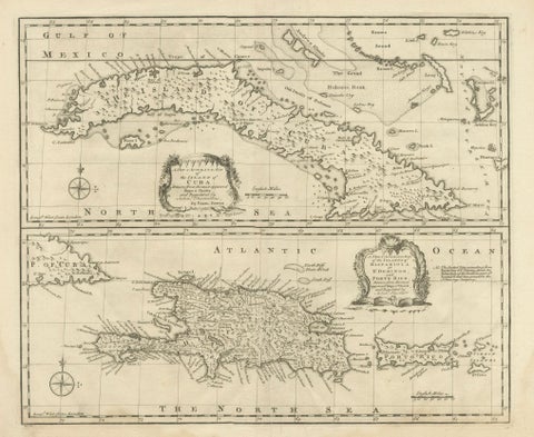
Antique Map of Cuba & Hispaniola, Caribbean Sea Chart by Bowen, 1744
1744 · Emanuel Bowen
$985
★
Other periods