1684 · Maps
1684 Mallet Map of Amazon River & Kingdom of Amazons – Hand Colored, Miniature
$490
€440 · dollar price at today's exchange rate
Buy now Ask a question
Shipping to the United States: $51 standard, $73 express, insured and tracked.
- Date
- 1684
- Kind
- Maps
- Size
- 20 × 14 cm (7.9 × 5.5 in)
- Condition
- Good. Condition is good. A dark impression on a sheet with the watermark of three circles and minor marginal soiling.
- Period
- Colonial America
- Places
- Brazil
- Reference
- BG-13867
What the condition grades mean
- Excellent
- Bright and clean, with no faults worth mentioning.
- Very good
- Only light signs of age, such as faint toning.
- Good
- Normal signs of age for a sheet of this period: toning, some foxing, small marks or neat old repairs.
- Fair
- Clear faults such as staining, tears or repairs, priced to match.
Every fault we see is written in the condition note, and the whole sheet is shown uncropped in the photos.
Guaranteed original. This is an original of the period stated, not a later reproduction or print-on-demand copy. If it is ever shown to be otherwise, we refund you in full.
Shipping to the United States. Sent from our gallery in Langweer, the Netherlands, flat between boards or rolled in a tube, and fully insured.
Delivery and import charges.
About this piece
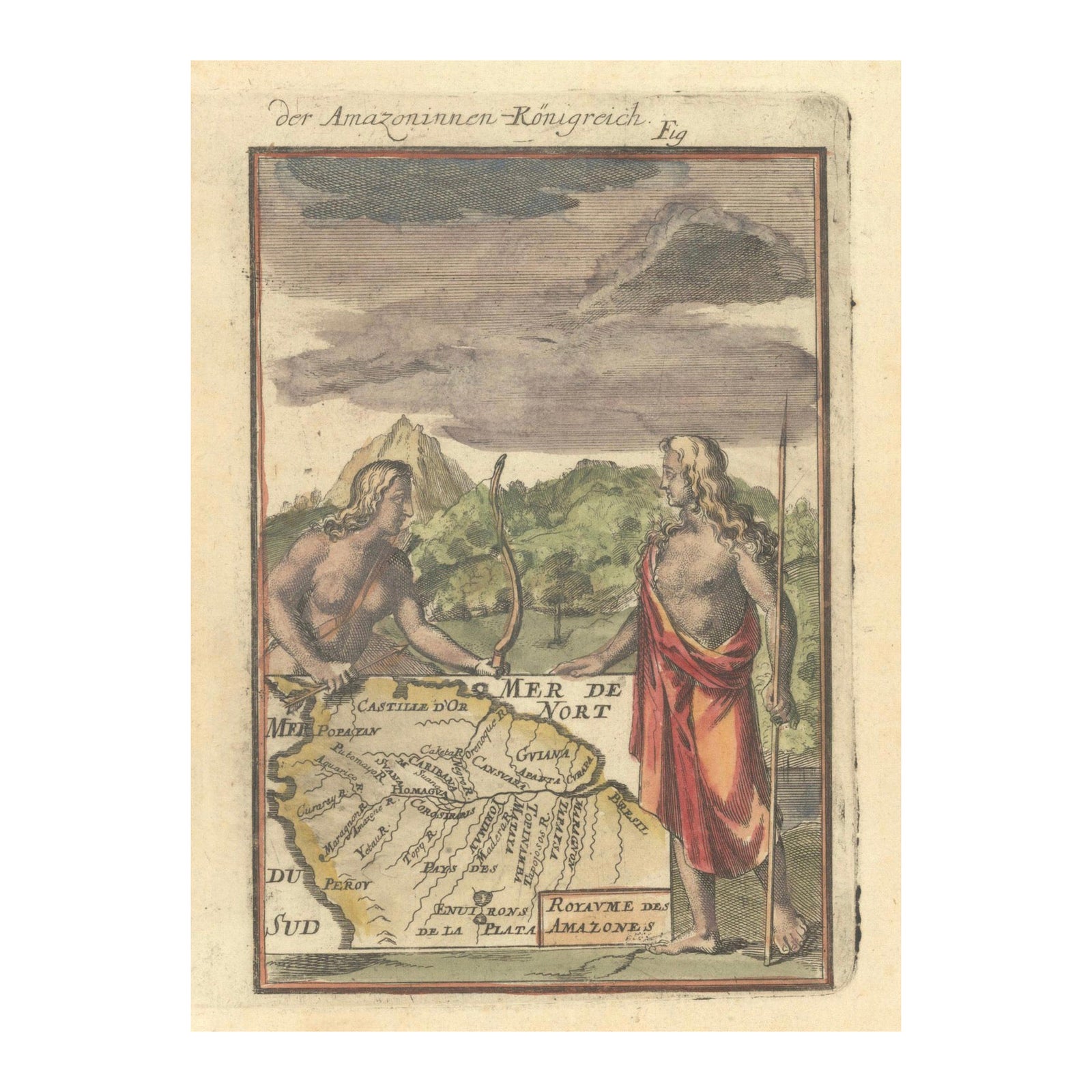
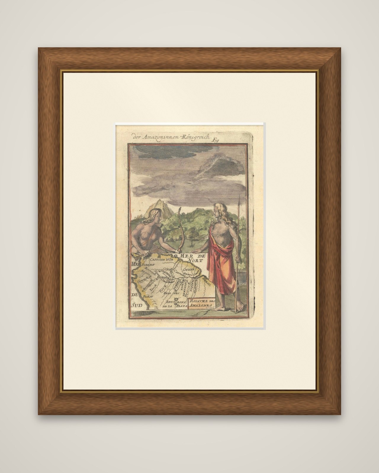
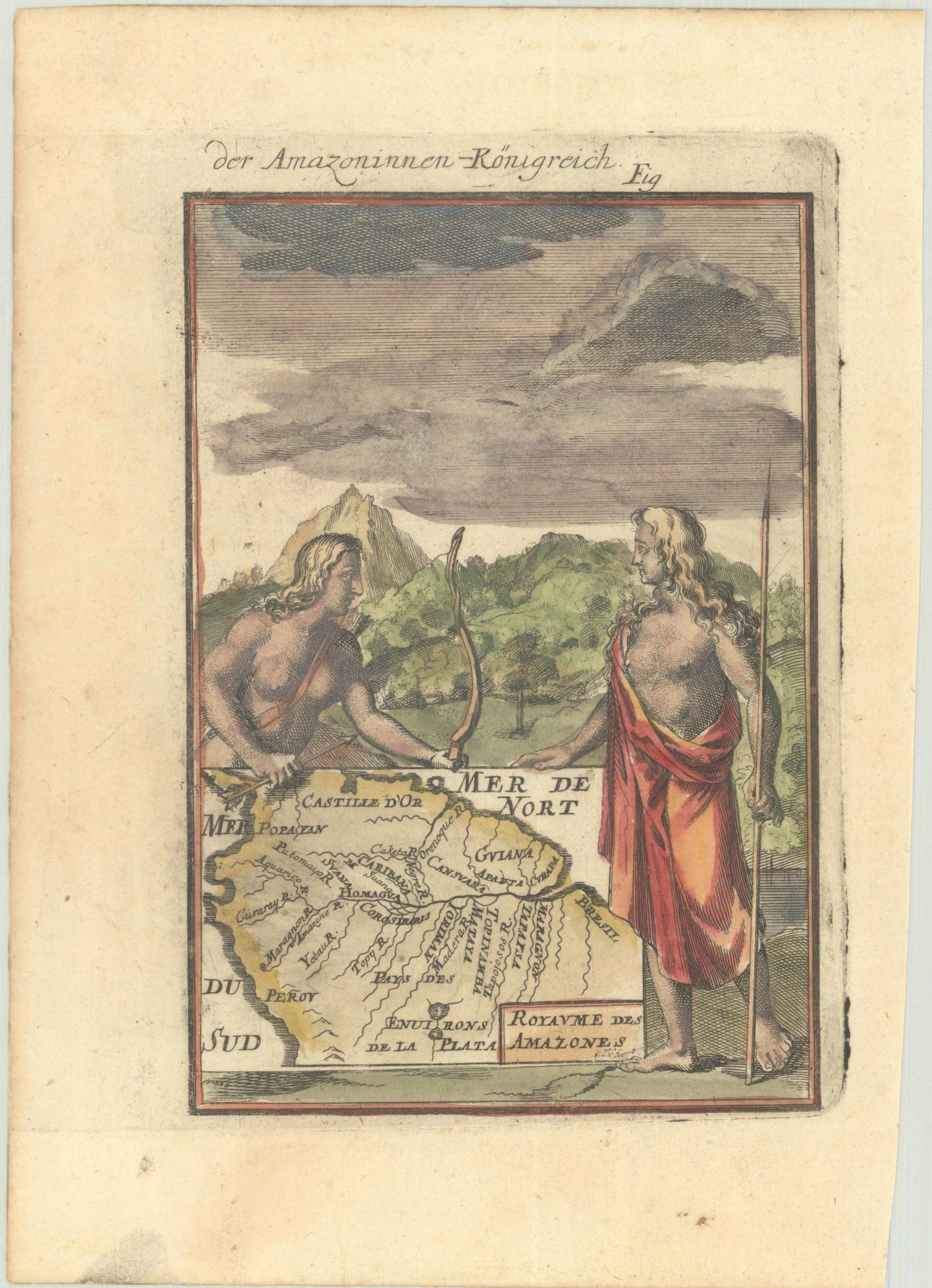
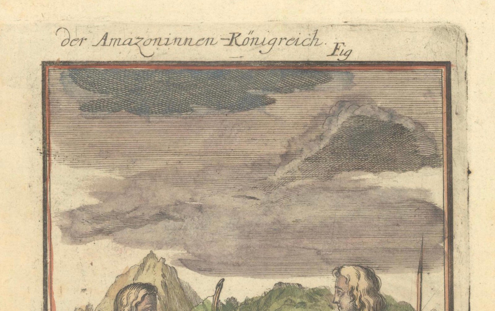
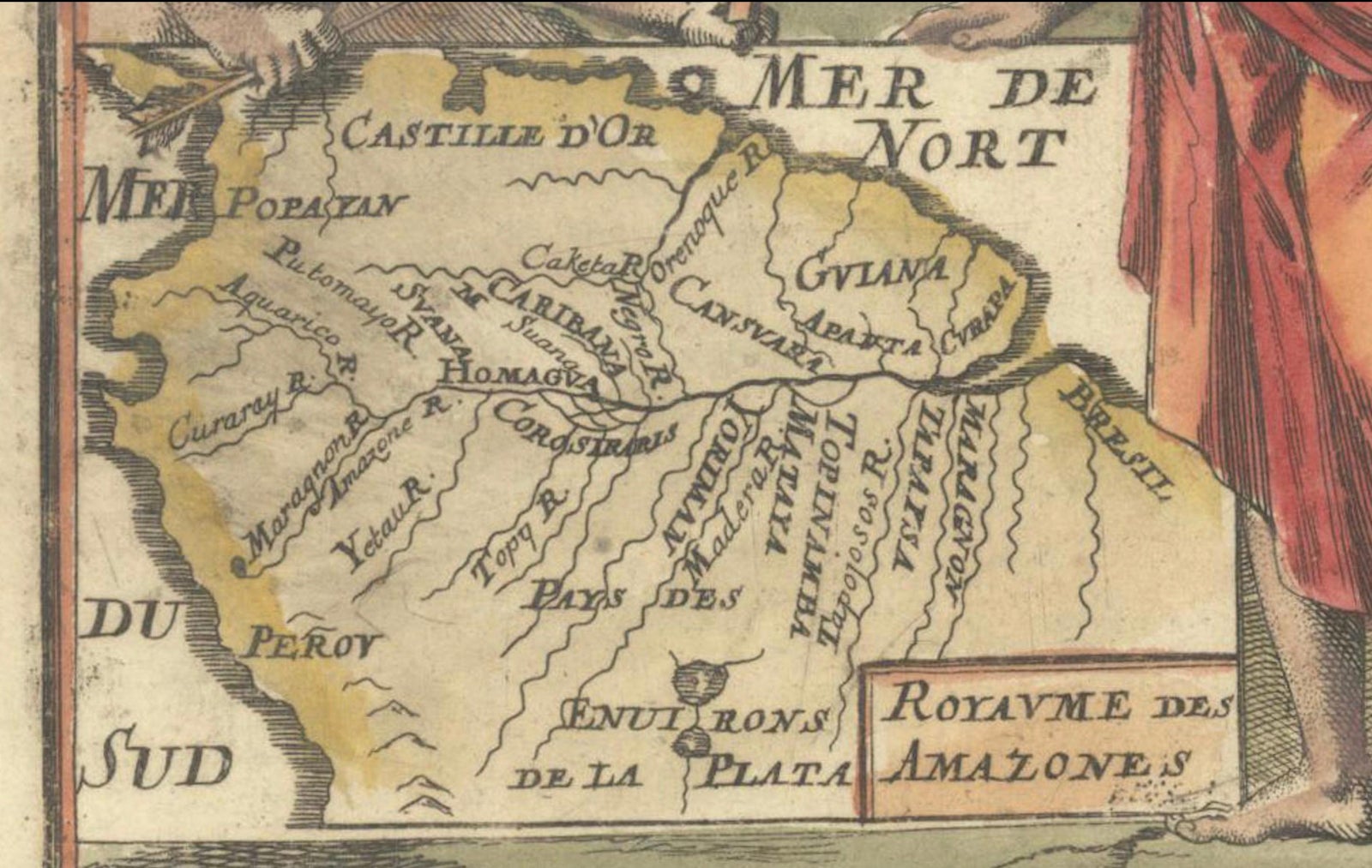
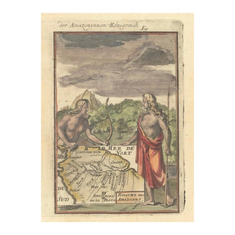
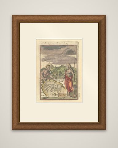
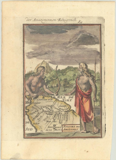
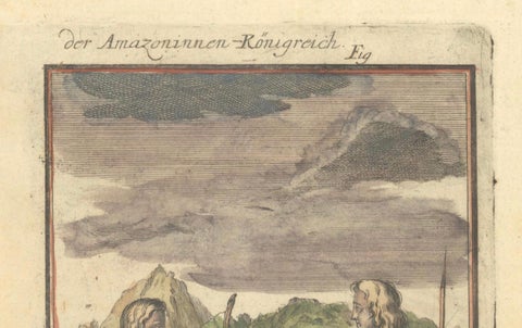
The legendary Kingdom of the Amazons in a miniature hand-colored map by Alain Manesson Mallet, 1684, from the German edition of his Description de l'Univers (Beschreibung des gantzen Welt-Kreisses). The sheet is headed "der Amazoninnen Königreich" with a figure number at the upper right, and the map label inside reads "Royaume des Amazones".
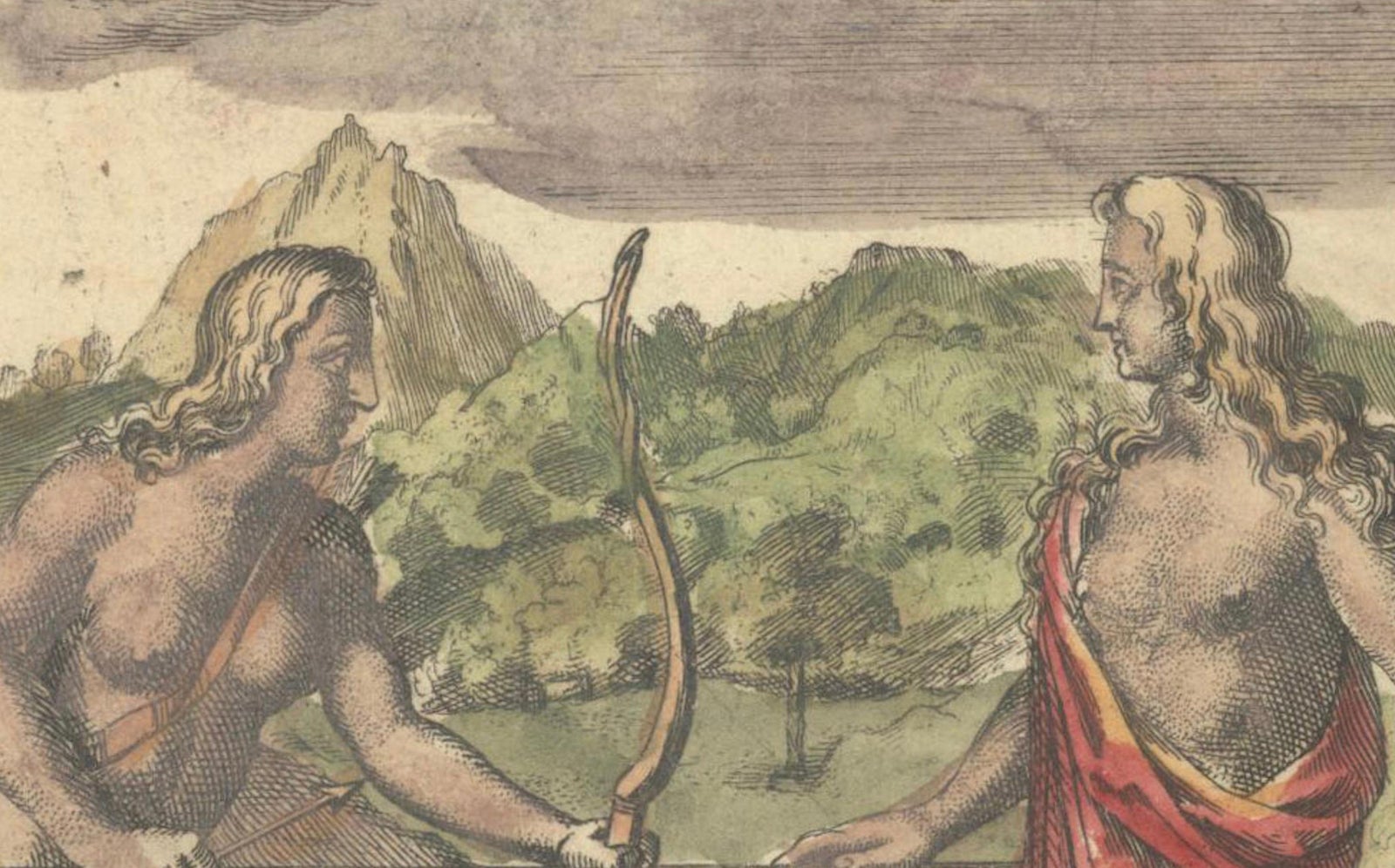
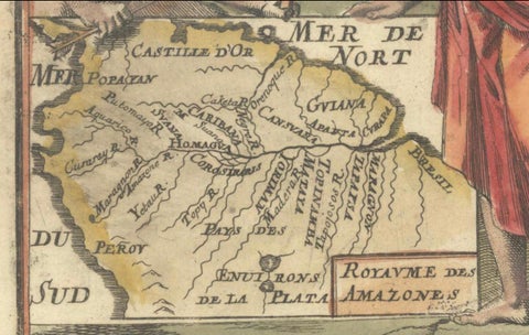
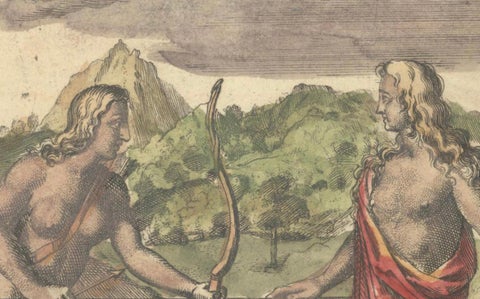
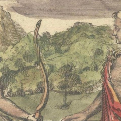
The engraving is a vignette in the usual Mallet manner: two tall figures stand in the foreground in front of a green landscape of wooded hills and a mountain peak under a dark, clouded sky. The figure at the left holds a bow and the one at the right holds a long spear and wears a red mantle, and each rests a hand on the corner of a small map that fills the lower part of the picture. The map shows northern South America with the sea lettered "Mer de Nort" and "Mer du Sud", Castille d'Or and Guyana along the Caribbean coast, Peru at the left, "Environs de la Plata" at the foot and the Amazon region in the center, with the "Royaume des Amazones" named in a small box at the lower right.
Mallet's small plates were designed to be bound into a volume, and this one illustrates the old tale of a nation of warrior women said to live along the Amazon, a belief that early European maps took seriously.