1746 · Maps
Antique Map Dedicated to British Merchants Trading to North America, ca.1746
$950
€850 · dollar price at today's exchange rate
Buy now Ask a question
Shipping to the United States: $51 standard, $73 express, insured and tracked.
- Date
- 1746
- Maker
- Jacques-Nicolas Bellin
- Kind
- Maps
- Size
- 35.5 × 50 cm (14 × 19.7 in)
- Condition
- Good. GoodWear consistent with age and use.
- Period
- Colonial America
- Places
- Canada
- Reference
- BG-11318
What the condition grades mean
- Excellent
- Bright and clean, with no faults worth mentioning.
- Very good
- Only light signs of age, such as faint toning.
- Good
- Normal signs of age for a sheet of this period: toning, some foxing, small marks or neat old repairs.
- Fair
- Clear faults such as staining, tears or repairs, priced to match.
Every fault we see is written in the condition note, and the whole sheet is shown uncropped in the photos.
Guaranteed original. This is an original of the period stated, not a later reproduction or print-on-demand copy. If it is ever shown to be otherwise, we refund you in full.
Shipping to the United States. Sent from our gallery in Langweer, the Netherlands, flat between boards or rolled in a tube, and fully insured.
Delivery and import charges.
About this piece
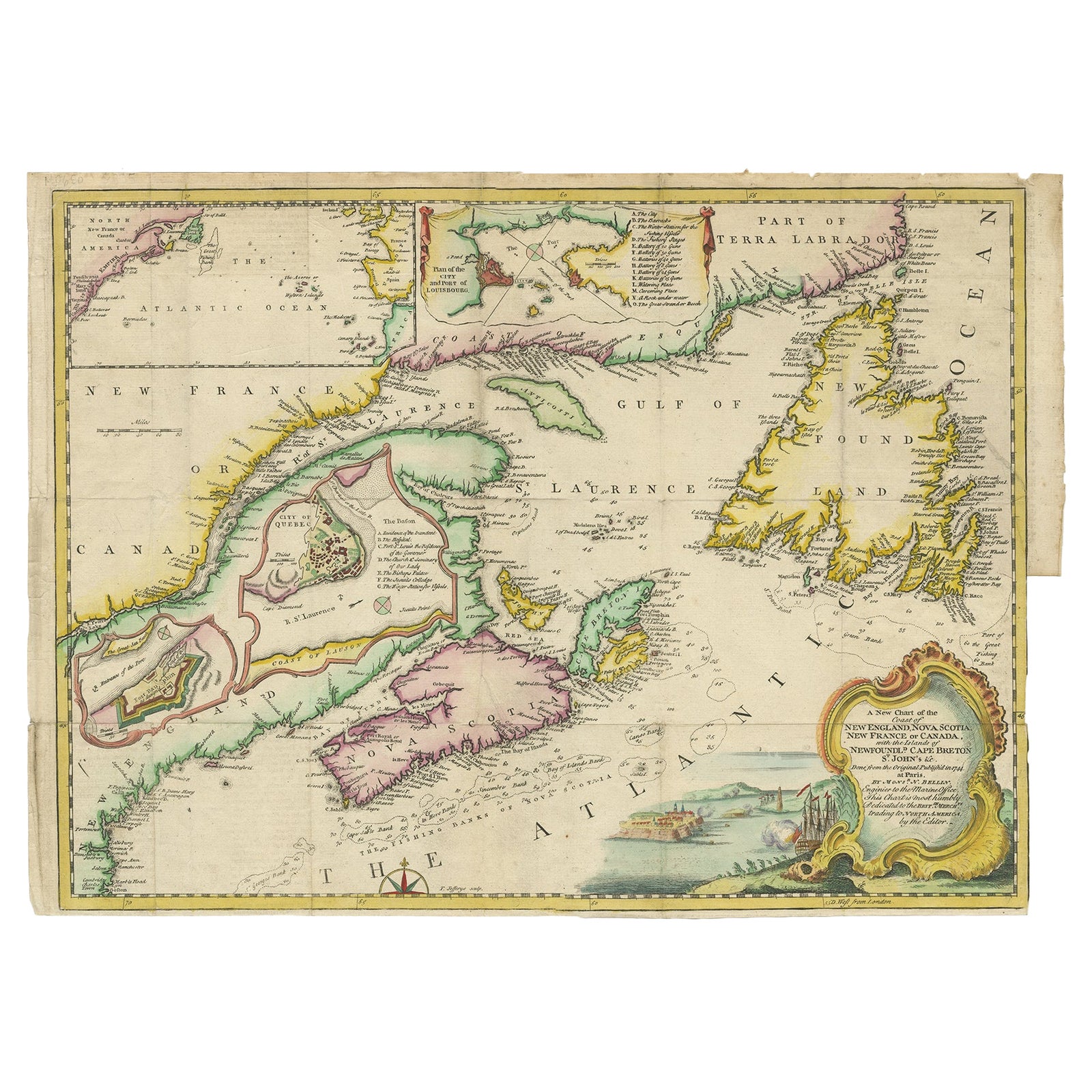
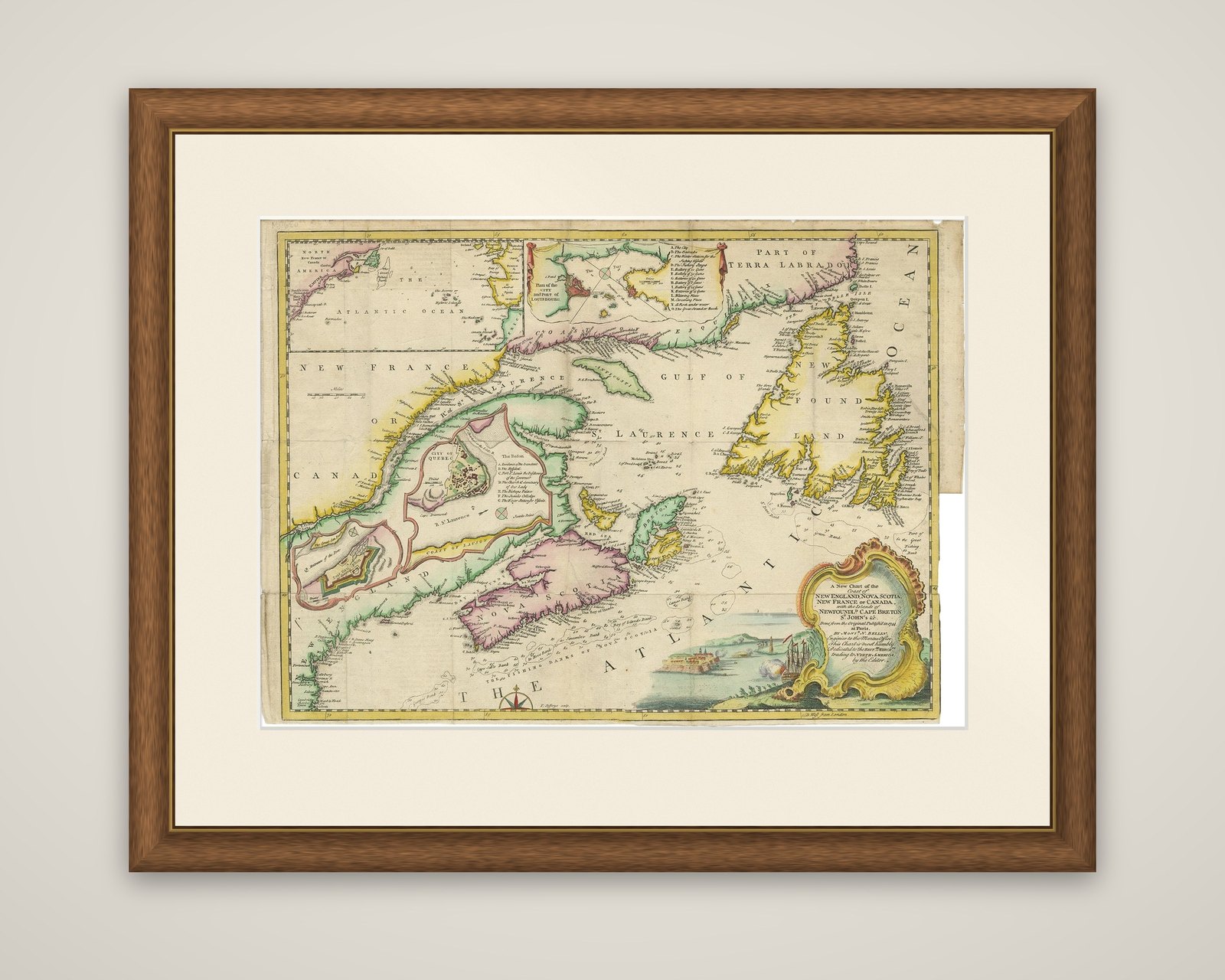
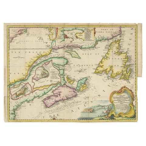
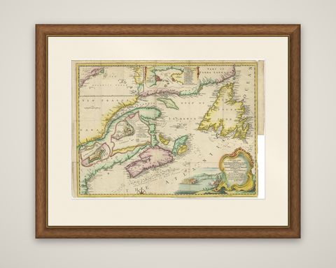
A New Chart of the Coast of New England, Nova Scotia, New France or Canada, with the islands of Newfoundland, Cape Breton, St. John's and the adjacent seas, engraved by Thomas Jefferys after the French hydrographer Jacques Nicolas Bellin and published in The Gentleman's Magazine in 1746. The copper engraving is finished in hand color and folds out from the magazine.
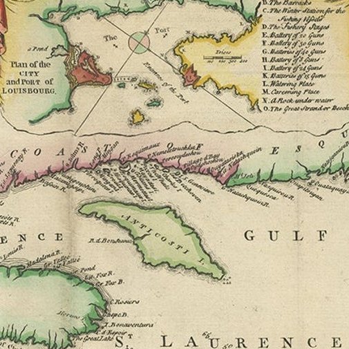
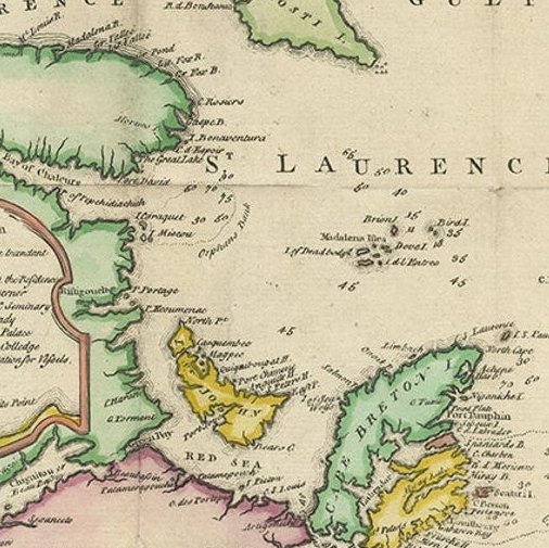
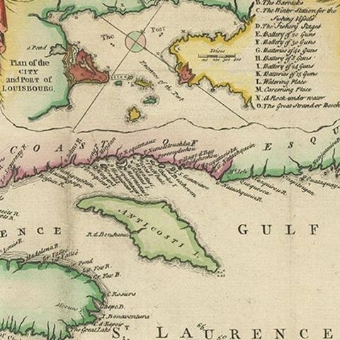
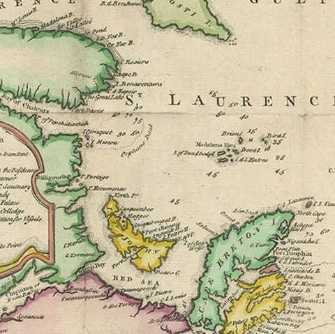
The chart reaches from Boston in the south to Labrador in the north, with the Gulf of St. Lawrence at its center. The fishing banks off Nova Scotia and Newfoundland are marked with soundings, and the outlines of Nova Scotia, Cape Breton, Prince Edward Island and Newfoundland are washed in yellow, pink and green. Insets show the city of Quebec with a numbered key, a plan of Louisbourg and its harbor, Fort Dauphin and a small map of the Atlantic Ocean. A rococo title cartouche at the lower right is topped by a vignette of a fortified harbor with ships firing.
Jefferys dedicated the chart to the British merchants trading to North America. Published in the year after the capture of Louisbourg by New England forces, it served readers of the magazine following the contest for the northern fisheries and the St. Lawrence.