1882 · Maps
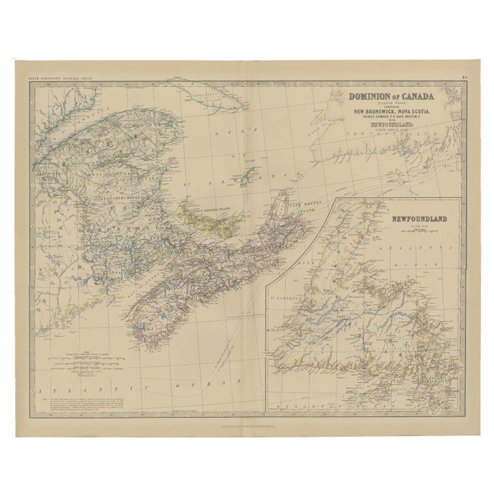
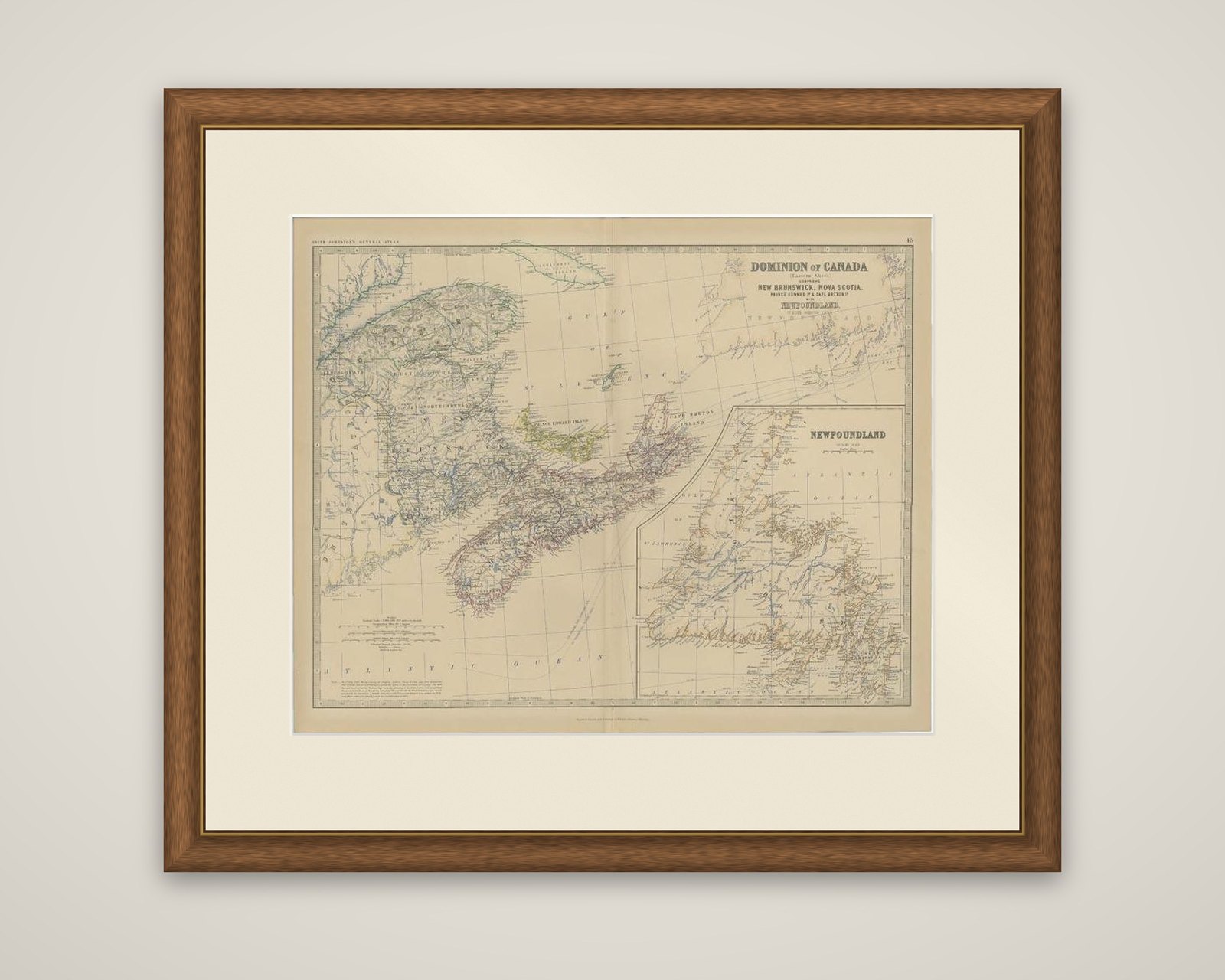
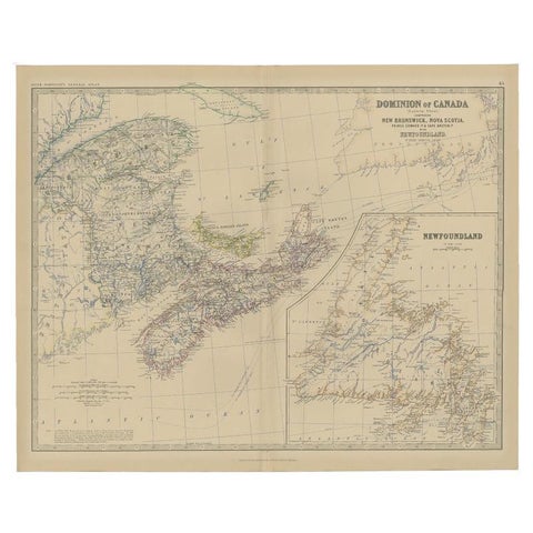
Antique Map of Eastern Canada with an inset Map of Newfoundland, 1882
$315
€280 · dollar price at today's exchange rate
Buy now Ask a question
Shipping to the United States: $51 standard, $73 express, insured and tracked.
- Date
- 1882
- Maker
- W. & A. K. Johnston
- Kind
- Maps
- Size
- 49.5 × 61.2 cm (19.5 × 24.1 in)
- Condition
- Good
- Period
- The Gilded Age
- Places
- Canada
- Reference
- BG-11823-45
What the condition grades mean
- Excellent
- Bright and clean, with no faults worth mentioning.
- Very good
- Only light signs of age, such as faint toning.
- Good
- Normal signs of age for a sheet of this period: toning, some foxing, small marks or neat old repairs.
- Fair
- Clear faults such as staining, tears or repairs, priced to match.
Every fault we see is written in the condition note, and the whole sheet is shown uncropped in the photos.
Guaranteed original. This is an original of the period stated, not a later reproduction or print-on-demand copy. If it is ever shown to be otherwise, we refund you in full.
Shipping to the United States. Sent from our gallery in Langweer, the Netherlands, flat between boards or rolled in a tube, and fully insured.
Delivery and import charges.
About this piece
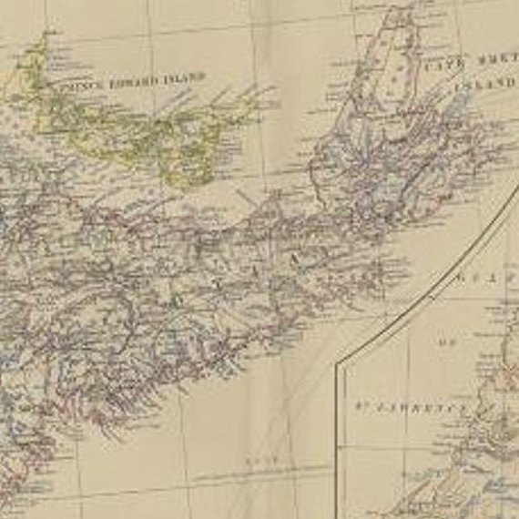
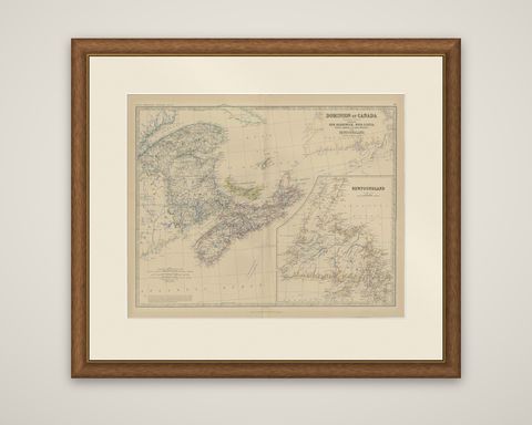
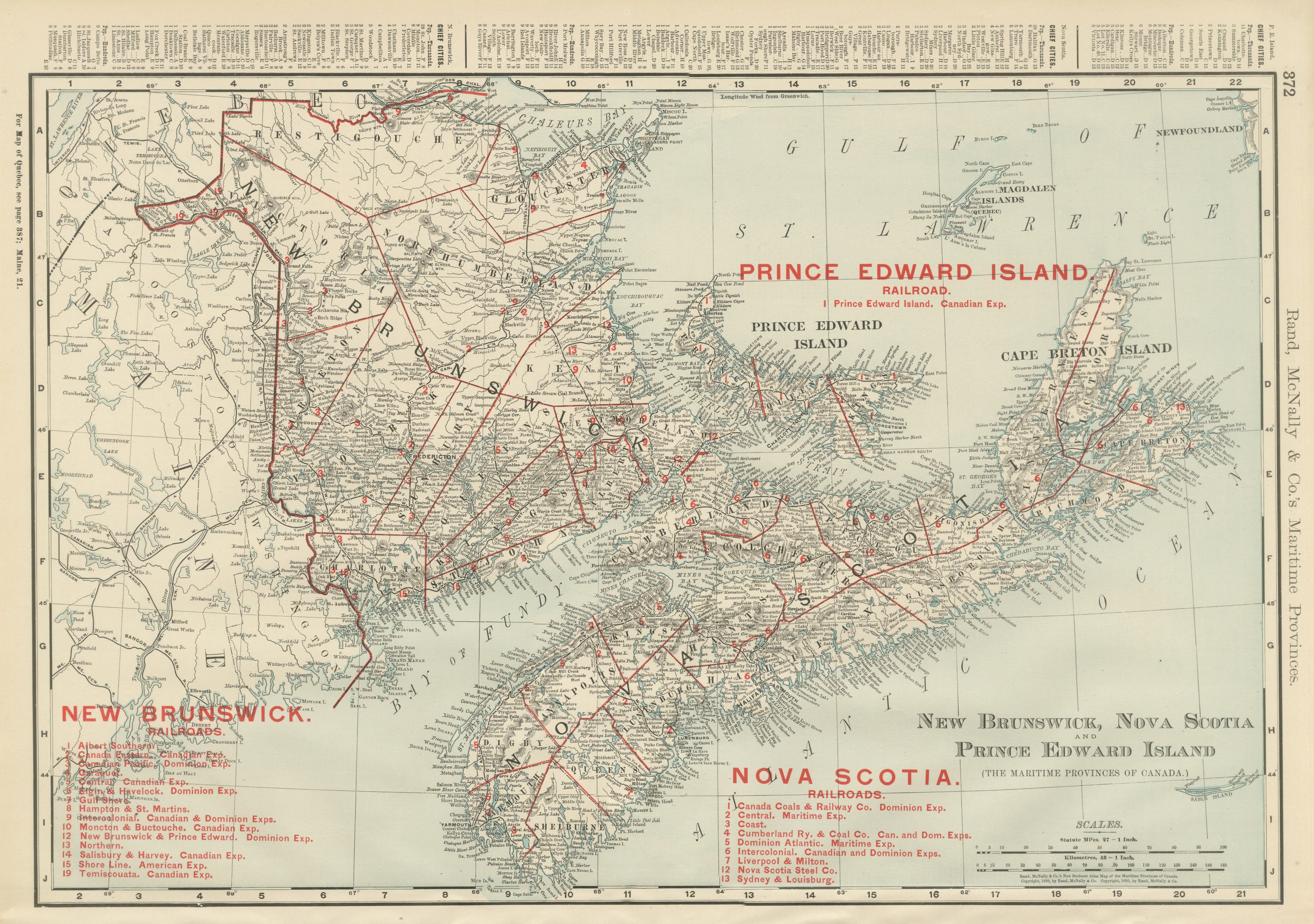
Eastern Canada and Newfoundland, an original antique map titled "Dominion of Canada (Eastern Sheet)," from The Royal Atlas of Modern Geography by A. K. Johnston, published by W. and A. K. Johnston in 1882. The sheet is an atlas map printed in color, with colored outlines for the provinces, and the title block at the upper right lists New Brunswick, Nova Scotia, Prince Edward Island and Cape Breton Island "with Newfoundland."
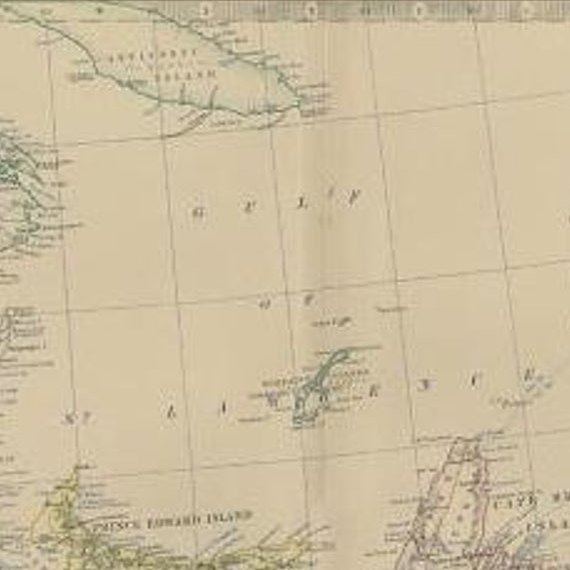
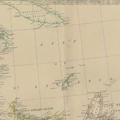
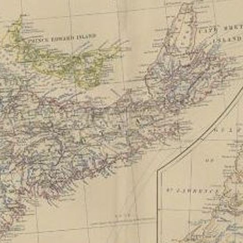
The main map covers southern Quebec, New Brunswick, Nova Scotia, Prince Edward Island and Cape Breton Island around the Gulf of St. Lawrence, with Anticosti Island at the top and the Atlantic coast at the foot. Rivers, lakes, counties, railways and towns are lettered throughout, and soundings and sailing tracks mark the surrounding sea. A large inset at the right is titled "Newfoundland" and gives the island its own sheet with its deeply indented coast, bays and settlements.
In 1882 the Dominion of Canada did not yet include Newfoundland, which remained a separate colony and joined Canada only in 1949. The firm of W. and A. K. Johnston, founded by Alexander Keith Johnston and his brother William in Edinburgh, was among the leading Scottish atlas publishers of the century.