Antique maps & prints by
W. & A. K. Johnston
★ 34 original pieces ★
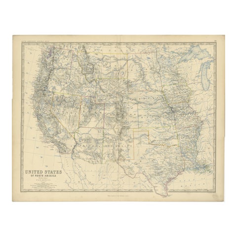
1874 Map of Western United States – Detailed Atlas by Keith Johnston
1874 · W. & A. K. Johnston
$615
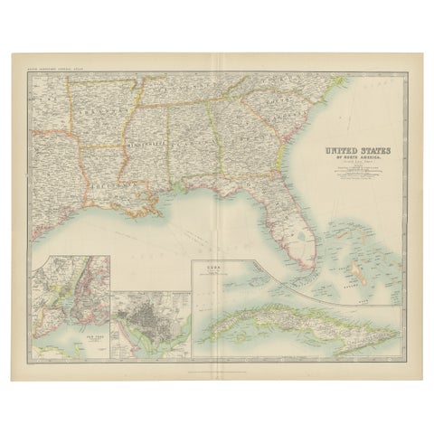
Antique Map of the United States ' South East ' by Johnston '1909'
1909 · W. & A. K. Johnston
$390
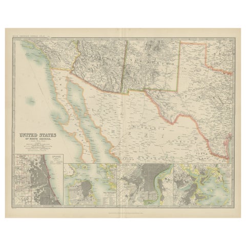
Antique Map of the United States of North America by Johnston '1909'
1909 · W. & A. K. Johnston
$390
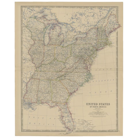
Antique Map of the United States of North America, c.1882
1882 · W. & A. K. Johnston
$390
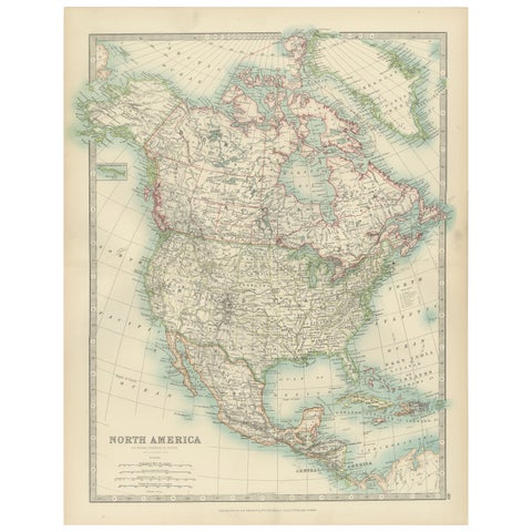
Explore North America in 1903 - Intricately Detailed Antique Map
1903 · W. & A. K. Johnston
$380
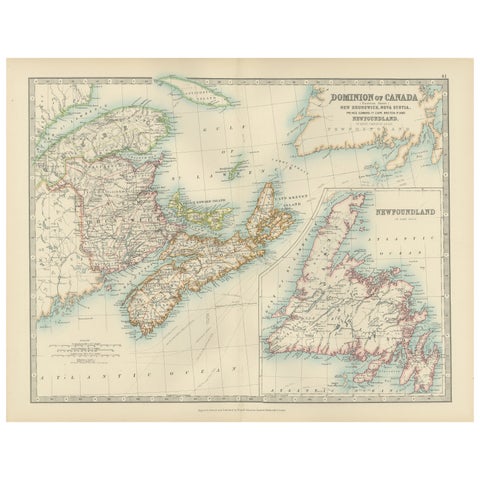
Canada Dominion Map 1903 - A Detailed View of Eastern Canada and Newfoundland
1903 · W. & A. K. Johnston
$380
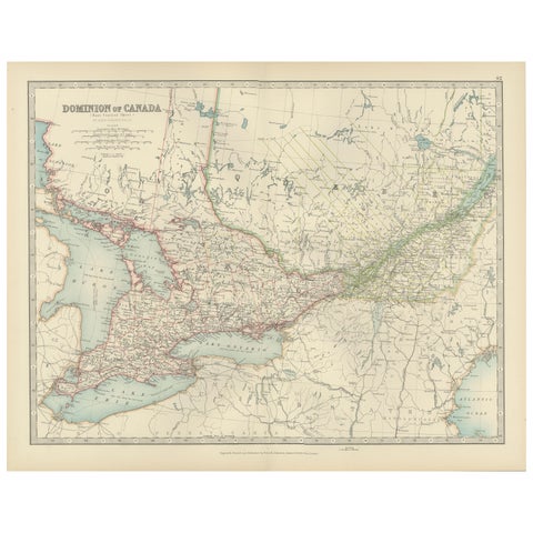
Canada Map 1903 - East Central Dominion - Ontario, Quebec & More
1903 · W. & A. K. Johnston
$380
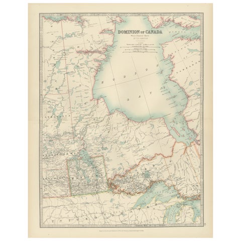
Canada Map 1903 - Dominion of Canada, West Central Sheet
1903 · W. & A. K. Johnston
$380
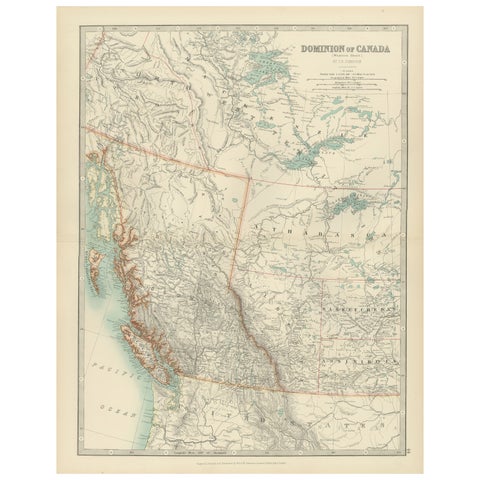
Canada’s West – 1903 Engraved Map by Johnston – Unique and Historic
1903 · W. & A. K. Johnston
$380
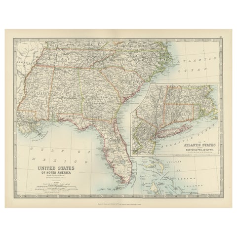
Map of the Southeastern USA and Atlantic States – Vintage 1903 Geography
1903 · W. & A. K. Johnston
$380
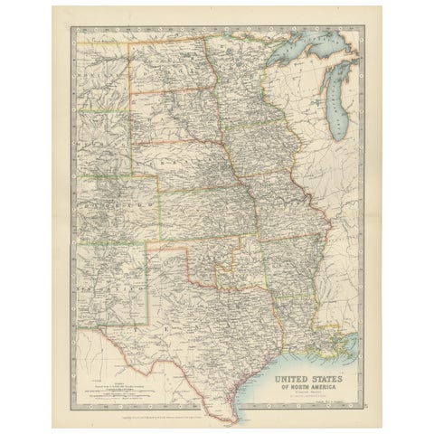
Map of United States Central Sheet 1903 – Railroads, States, and Topography
1903 · W. & A. K. Johnston
$380
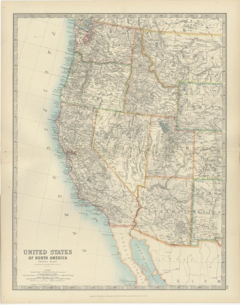
Map of Western United States 1903 – Railroads, State Borders, and Terrain
1903 · W. & A. K. Johnston
$380
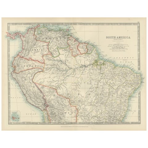
Map of Northern South America – Vibrant Engraving by Keith Johnston, 1903
1903 · W. & A. K. Johnston
$380
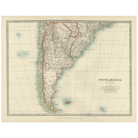
Map of Southern South America – Richly Detailed Engraving by K.Johnston, 1903
1903 · W. & A. K. Johnston
$380
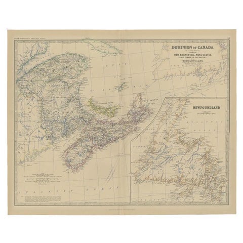
Antique Map of Eastern Canada with an inset Map of Newfoundland, 1882
1882 · W. & A. K. Johnston
$315
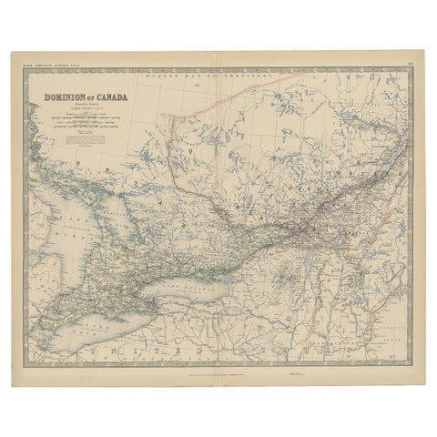
Old Original Antique Map of Western Canada, 1882
1882 · W. & A. K. Johnston
$315

Antique Map of South America ‘North’ by A.K. Johnston, 1865
1865 · W. & A. K. Johnston
$310
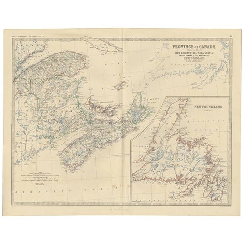
Antique Map of the Province of Canada 'East' by A.K. Johnston, 1865
1865 · W. & A. K. Johnston
$290
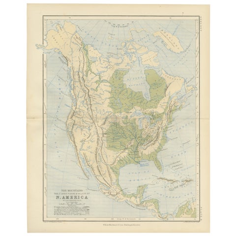
Geological Map of North America by A.K. Johnston – Mountains and Valleys 1852
1852 · W. & A. K. Johnston
$290
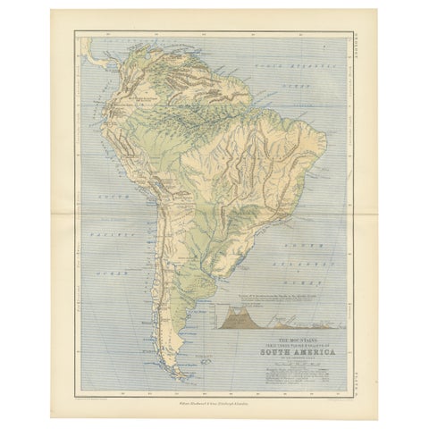
Geological Map of South America by A.K. Johnston – Mountains and Valleys 1852
1852 · W. & A. K. Johnston
$290
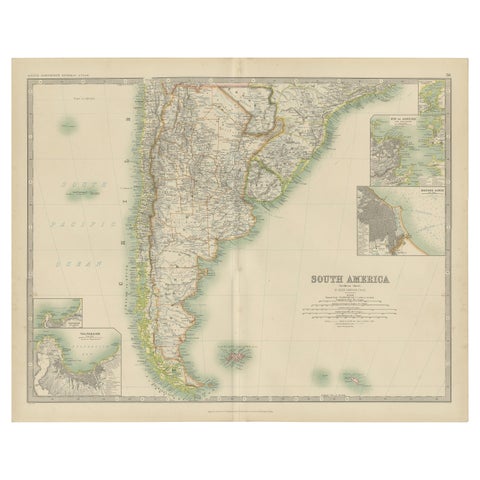
Antique Map of South America by Johnston '1909'
1909 · W. & A. K. Johnston
$280
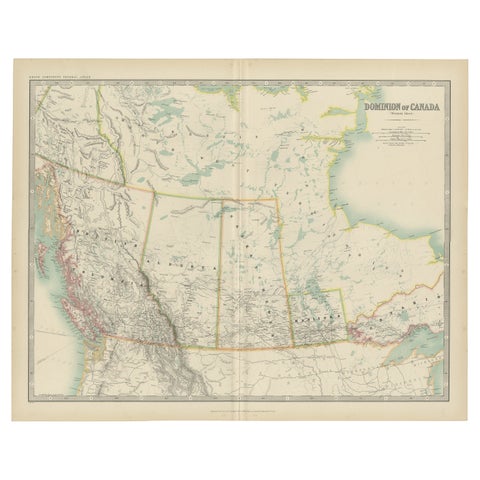
Antique Map of Canada by Johnston '1909'
1909 · W. & A. K. Johnston
$280
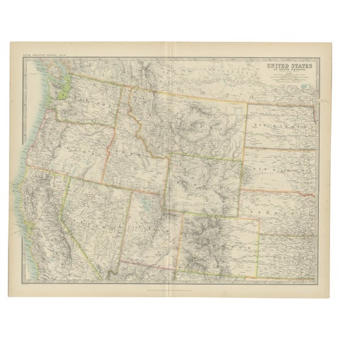
Antique Map of the United States 'North West' by Johnston, '1909'
1909 · W. & A. K. Johnston
$280
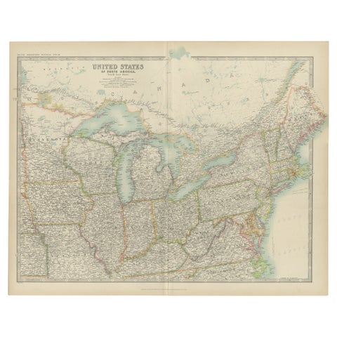
Antique Map of the United States ' North East ' by Johnston '1909'
1909 · W. & A. K. Johnston
$280
Page 1 of 2Next →
★
Other mapmakers and artists
Rand McNally
135 pieces
J. H. Colton
5 pieces
A. J. Johnson
14 pieces
John James Audubon
10 pieces
Mark Catesby
5 pieces
Blaeu
14 pieces
Theodor de Bry
10 pieces
Montanus & Ogilby
9 pieces
Frederick de Wit
3 pieces
Guillaume Delisle
9 pieces
Jacques-Nicolas Bellin
15 pieces
Robert de Vaugondy
5 pieces
Rigobert Bonne
27 pieces
Homann Heirs
3 pieces
Thomas Kitchin
6 pieces
Emanuel Bowen
13 pieces
John Thomson
4 pieces
John Tallis
16 pieces
Adam & Charles Black
13 pieces
Stieler
12 pieces
Meyer
15 pieces
Van Keulen
3 pieces
Captain Cook voyages
17 pieces
La Perouse
4 pieces
Alexander von Humboldt
3 pieces
Auguste Wahlen
5 pieces