1733 · Maps
Antique Map of Paraguay and Jesuit Missions by D’Anville, 1733
$550
€490 · dollar price at today's exchange rate
Buy now Ask a question
Shipping to the United States: $51 standard, $73 express, insured and tracked.
- Date
- 1733
- Kind
- Maps
- Size
- 35.9 × 31 cm (14.1 × 12.2 in)
- Period
- Colonial America
- Places
- Argentina, Brazil
- Reference
- BG-14078-39
What the condition grades mean
- Excellent
- Bright and clean, with no faults worth mentioning.
- Very good
- Only light signs of age, such as faint toning.
- Good
- Normal signs of age for a sheet of this period: toning, some foxing, small marks or neat old repairs.
- Fair
- Clear faults such as staining, tears or repairs, priced to match.
Every fault we see is written in the condition note, and the whole sheet is shown uncropped in the photos.
Guaranteed original. This is an original of the period stated, not a later reproduction or print-on-demand copy. If it is ever shown to be otherwise, we refund you in full.
Shipping to the United States. Sent from our gallery in Langweer, the Netherlands, flat between boards or rolled in a tube, and fully insured.
Delivery and import charges.
About this piece
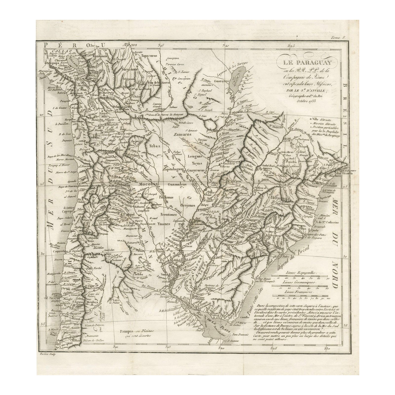
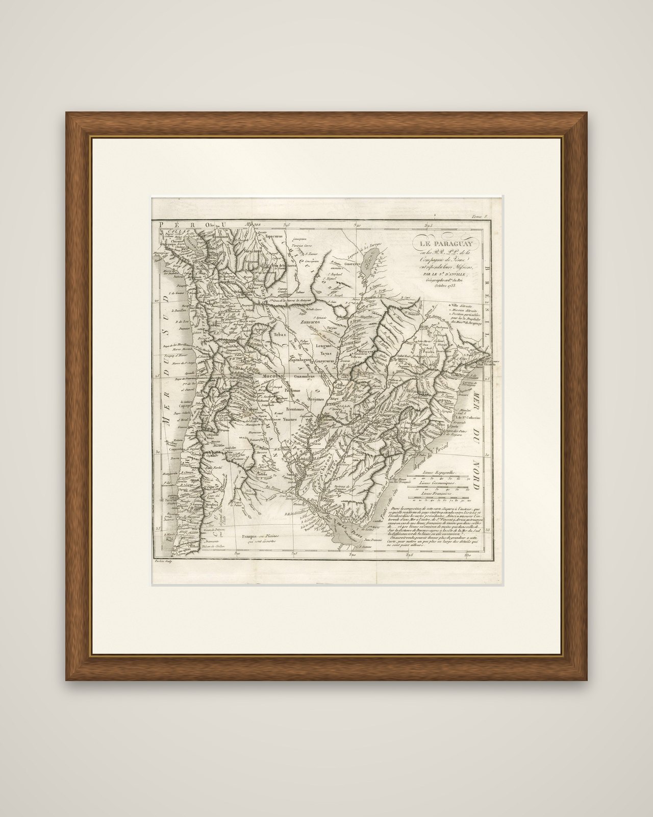
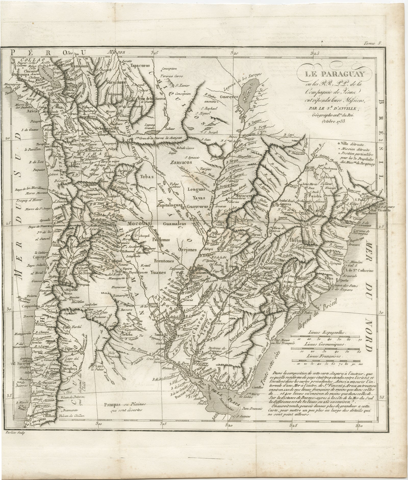
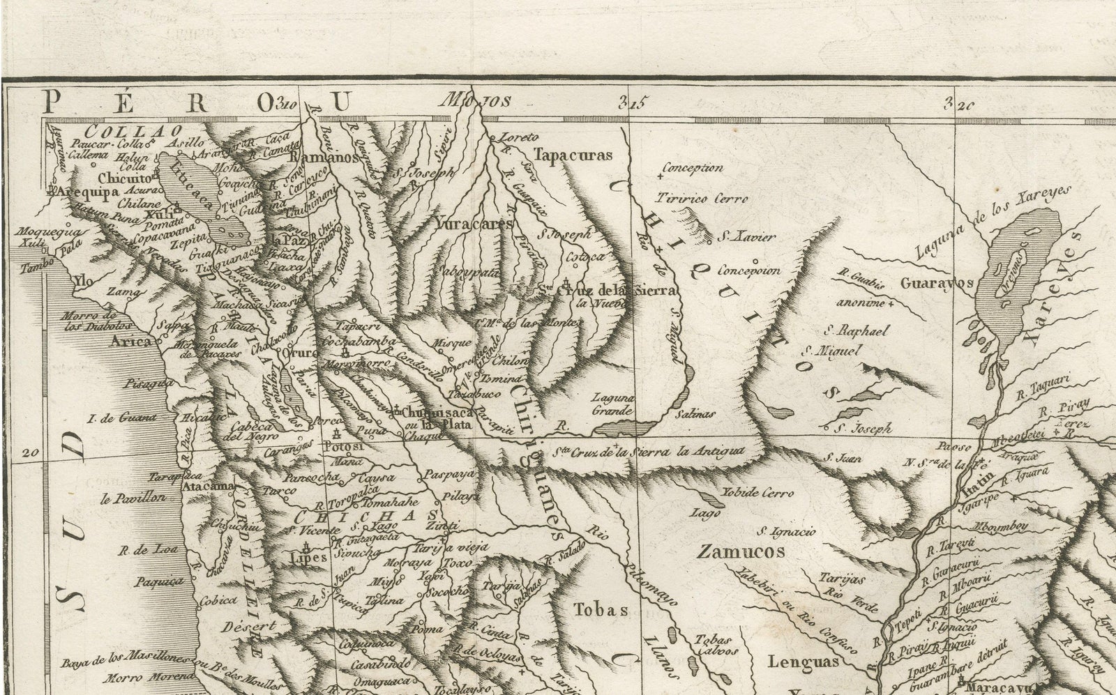
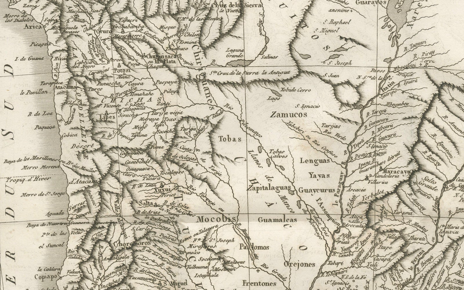
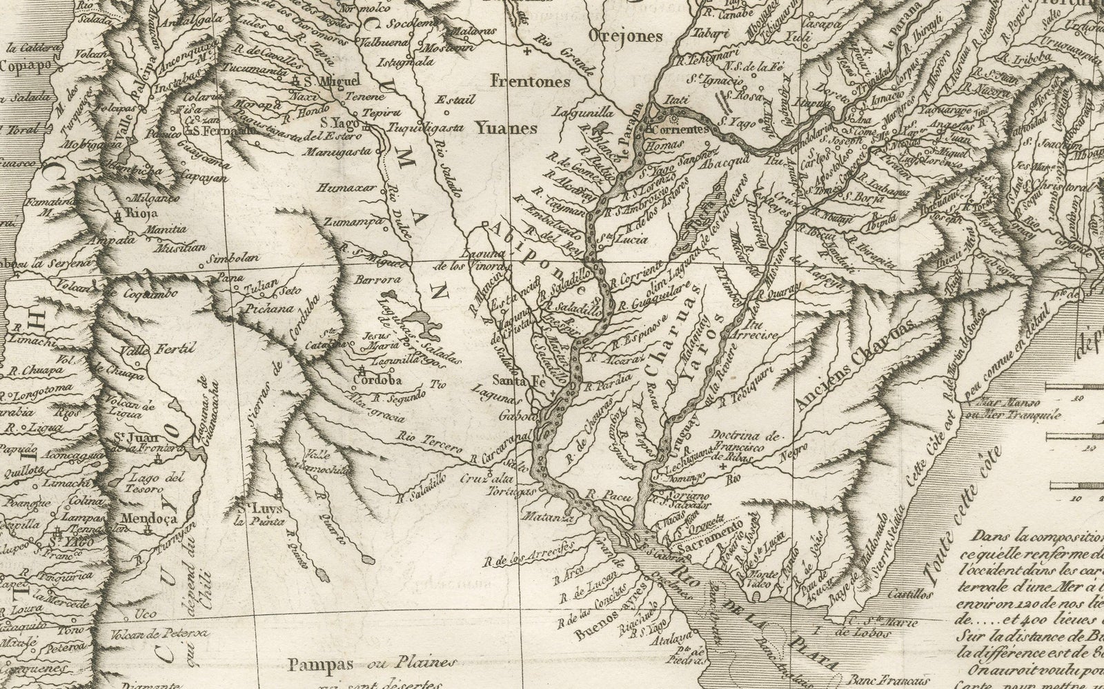
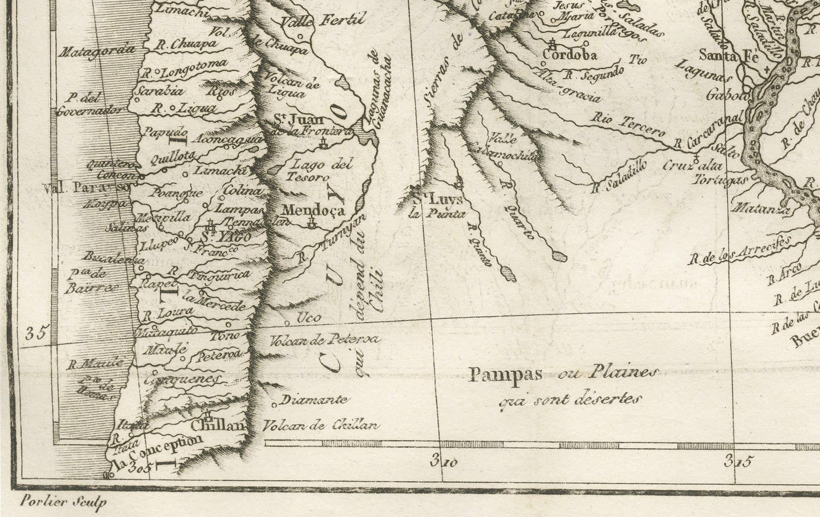
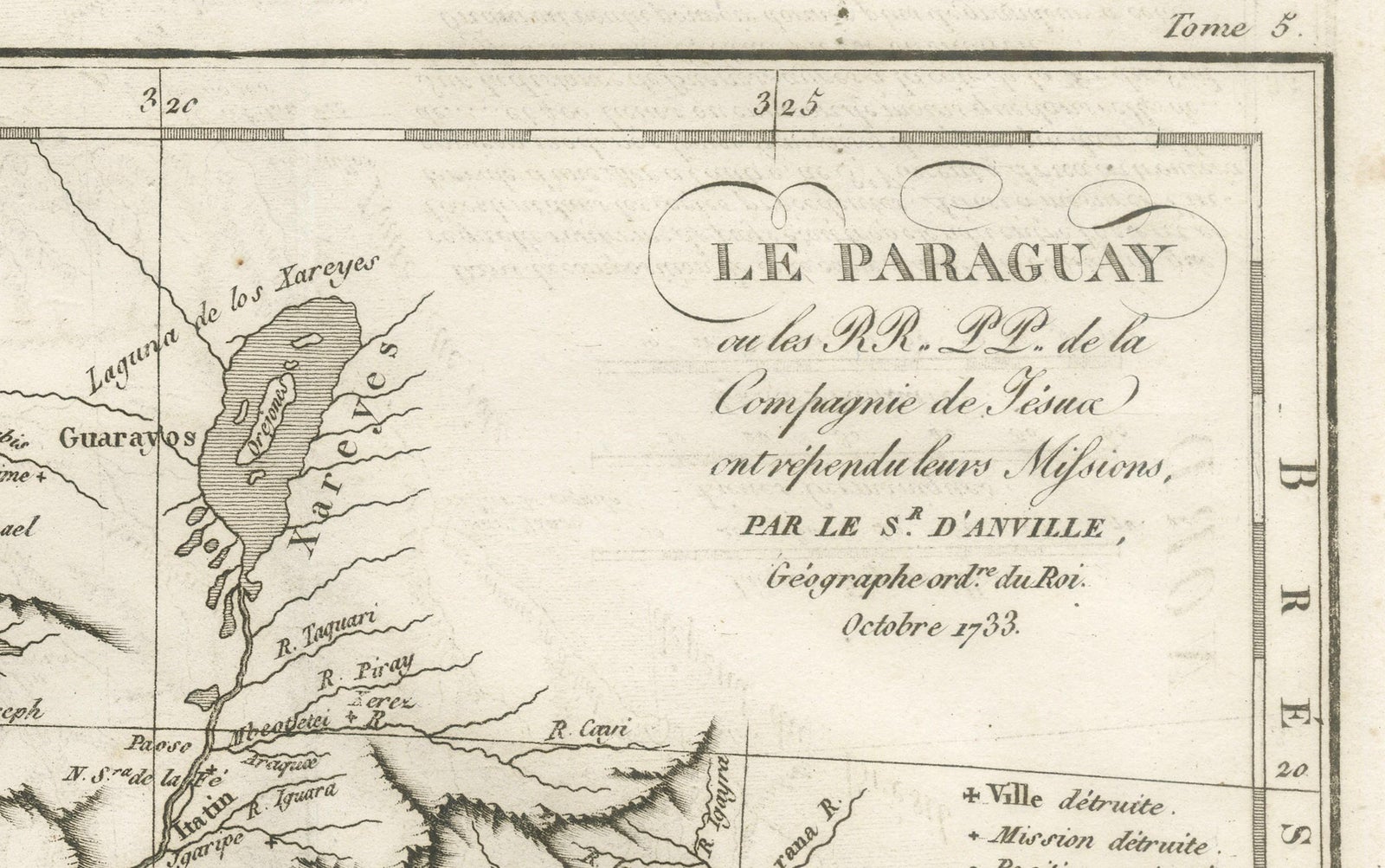
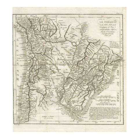
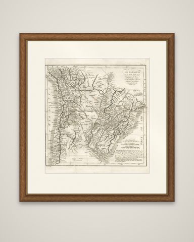
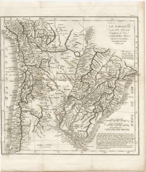
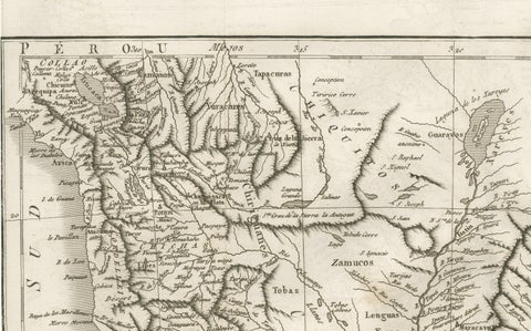
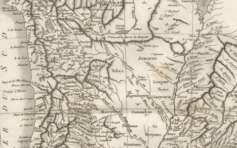
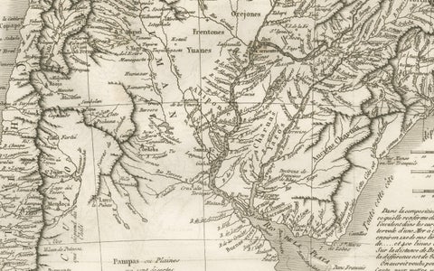
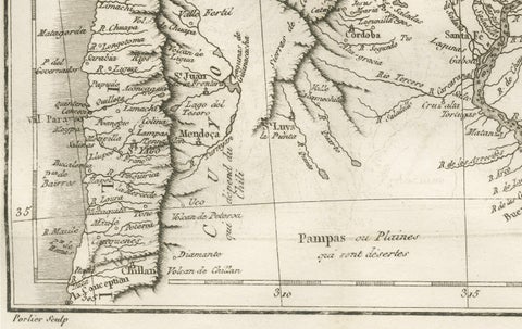
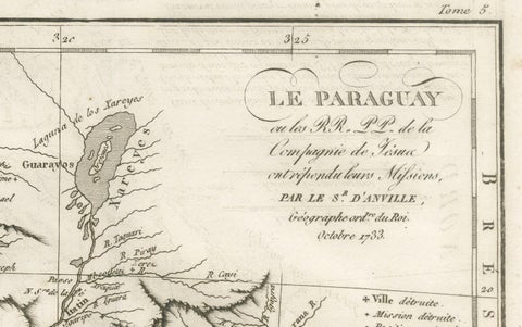
Paraguay and the Jesuit missions of the Río de la Plata country, an original copper engraving after Jean Baptiste Bourguignon d'Anville and dated October 1733. The sheet is titled "Le Paraguay, ou les RR. PP. de la Compagnie de Jésus ont répandu leurs Missions, par le Sr. d'Anville, Géographe ordinaire du Roi, Octobre 1733."
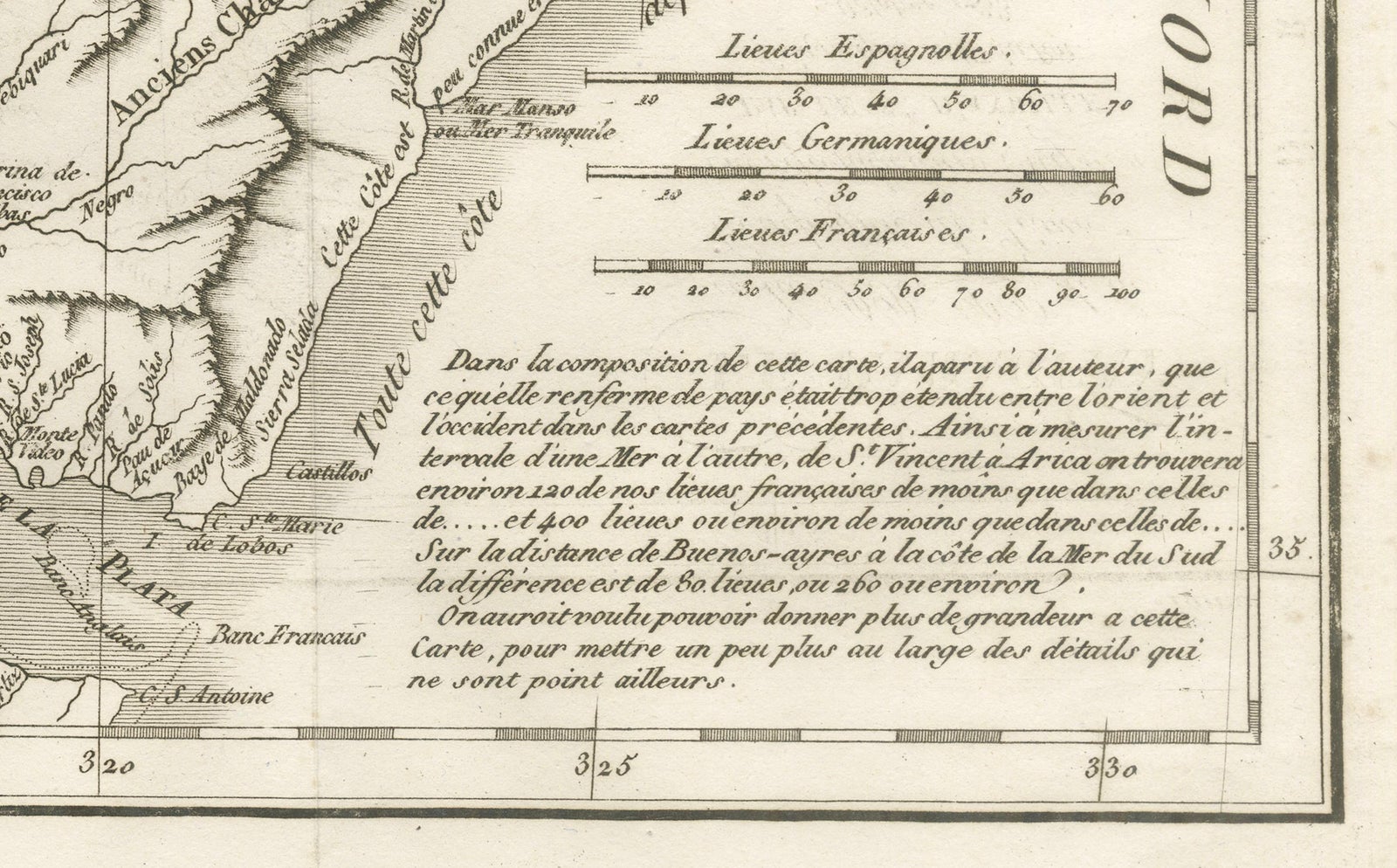
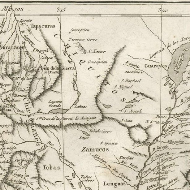
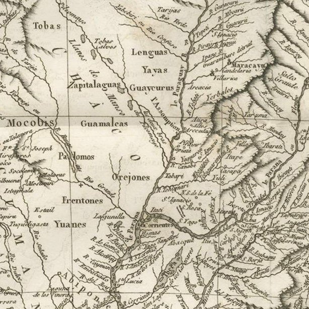
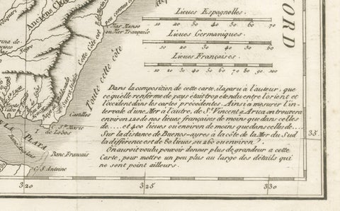
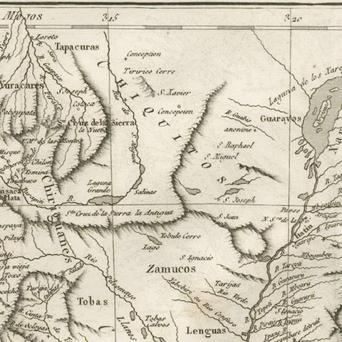
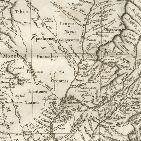
The map covers the interior of the continent from Peru and the Andes at the left to the coast of Brazil at the right, with the River Plate at the lower edge. The Paraguay and Paraná are traced through the center in a web of tributaries, and the Jesuit missions and Spanish towns are marked with small symbols and names; a legend at the upper right distinguishes towns, destroyed missions and particular positions. The Indian peoples of the interior, such as the Tobas, Lengua, Zamucos and Guaycurus, are lettered in capitals across the Chaco. Boundaries between Spanish and Portuguese territory are drawn with different line styles, and relief is drawn pictorially. Three scales are given: Spanish leagues, German leagues and French leagues. A French text panel at the lower right explains how the map was compiled and why its distances differ from earlier maps.
D'Anville was geographer to the King of France, and the map is a record of the Jesuit reductions of Paraguay.