1760 · Maps
Antique Map of the Amazon River – Maragnon or River of the Amazons, c.1760
$515
€460 · dollar price at today's exchange rate
Buy now Ask a question
Shipping to the United States: $51 standard, $73 express, insured and tracked.
- Date
- 1760
- Kind
- Maps
- Size
- 25 × 39.5 cm (9.8 × 15.6 in)
- Period
- Colonial America
- Places
- Brazil, Peru
- Reference
- BG-14078-37
What the condition grades mean
- Excellent
- Bright and clean, with no faults worth mentioning.
- Very good
- Only light signs of age, such as faint toning.
- Good
- Normal signs of age for a sheet of this period: toning, some foxing, small marks or neat old repairs.
- Fair
- Clear faults such as staining, tears or repairs, priced to match.
Every fault we see is written in the condition note, and the whole sheet is shown uncropped in the photos.
Guaranteed original. This is an original of the period stated, not a later reproduction or print-on-demand copy. If it is ever shown to be otherwise, we refund you in full.
Shipping to the United States. Sent from our gallery in Langweer, the Netherlands, flat between boards or rolled in a tube, and fully insured.
Delivery and import charges.
About this piece
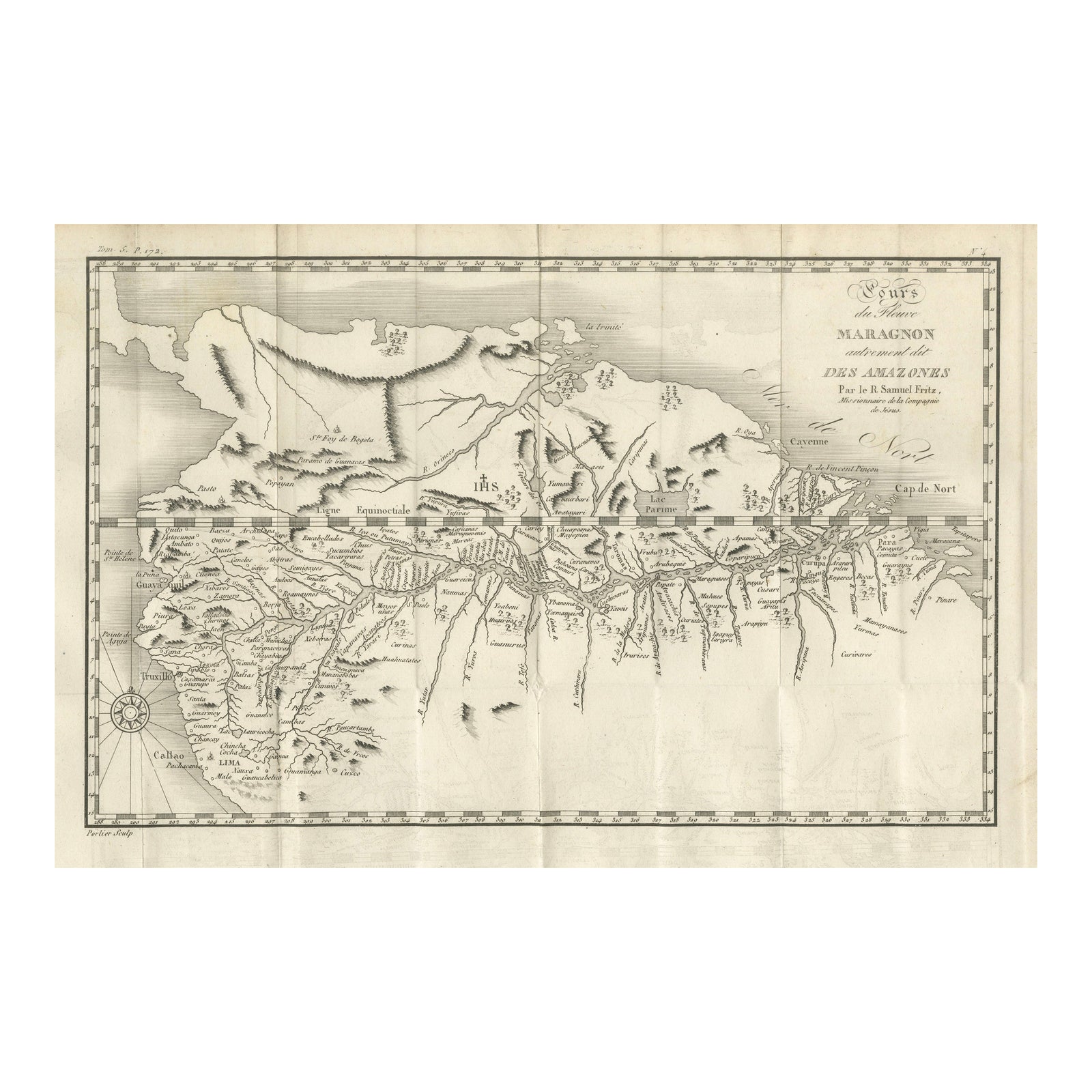
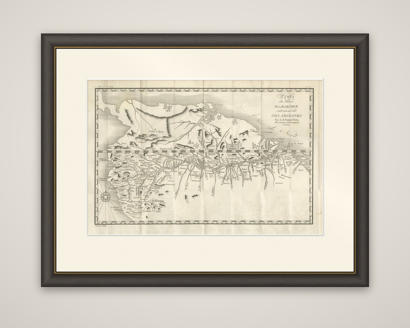
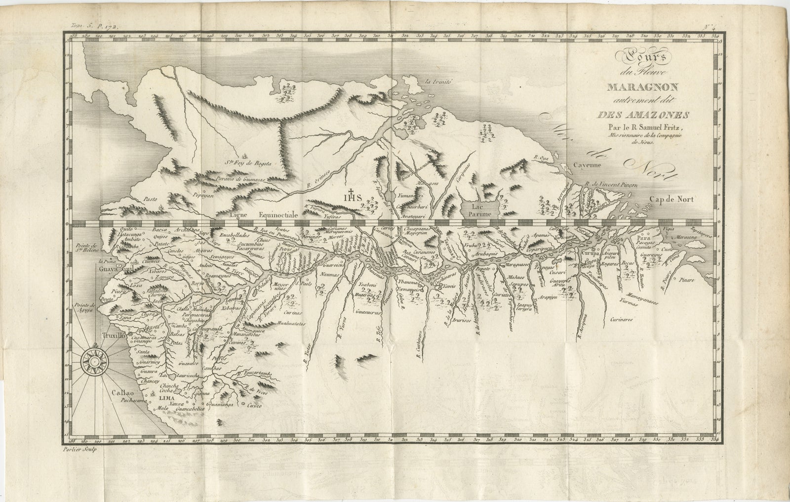
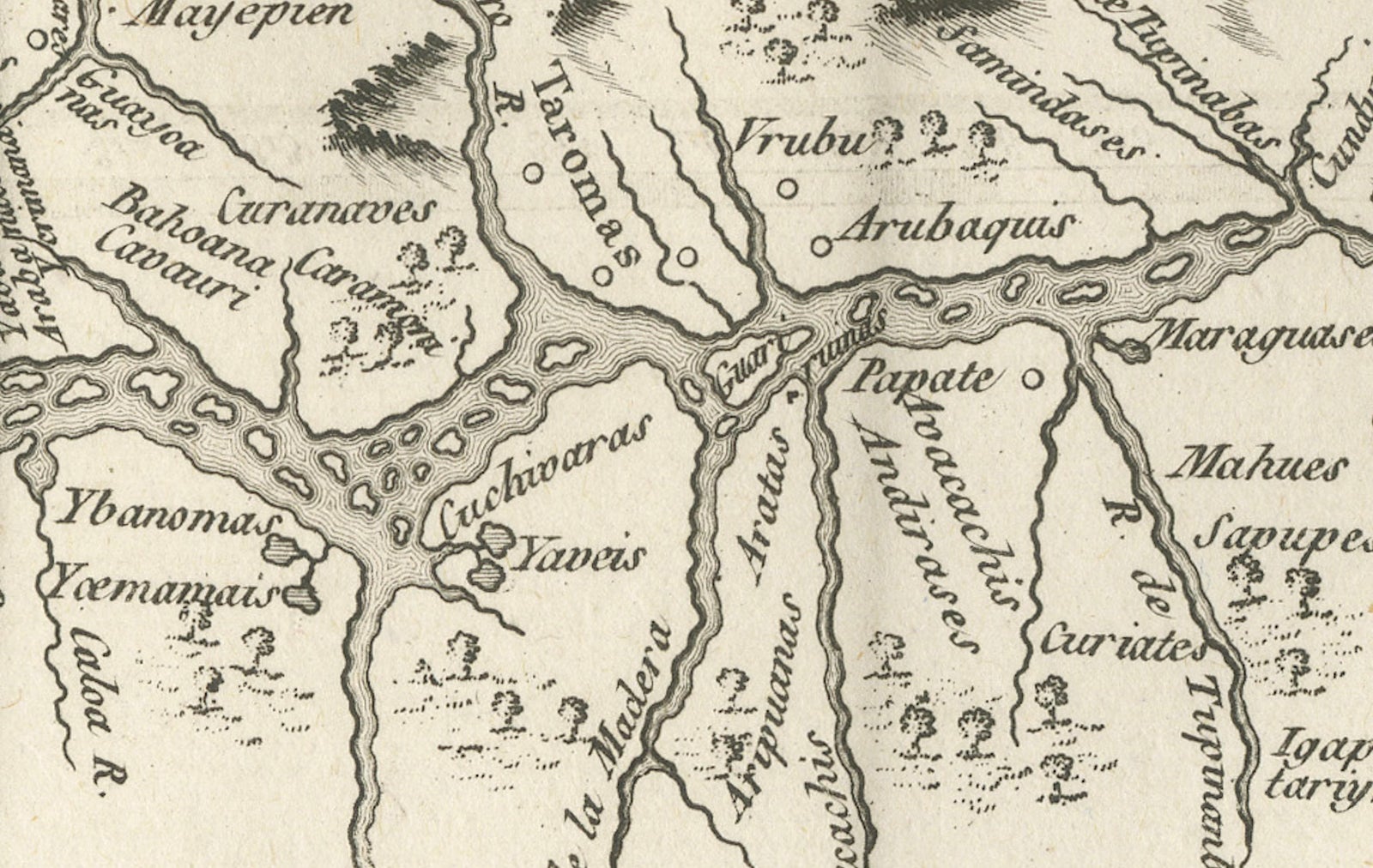
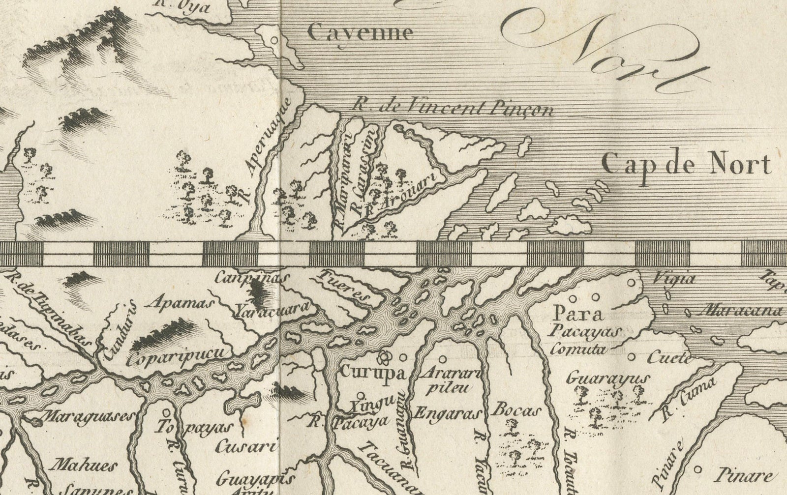
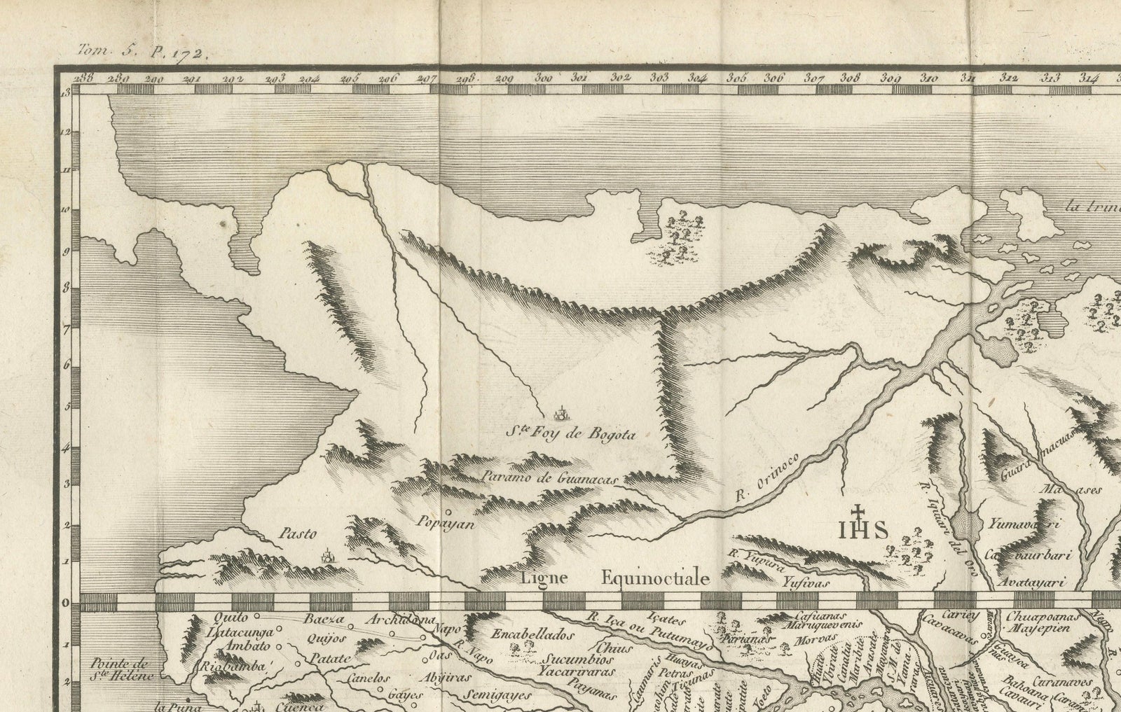
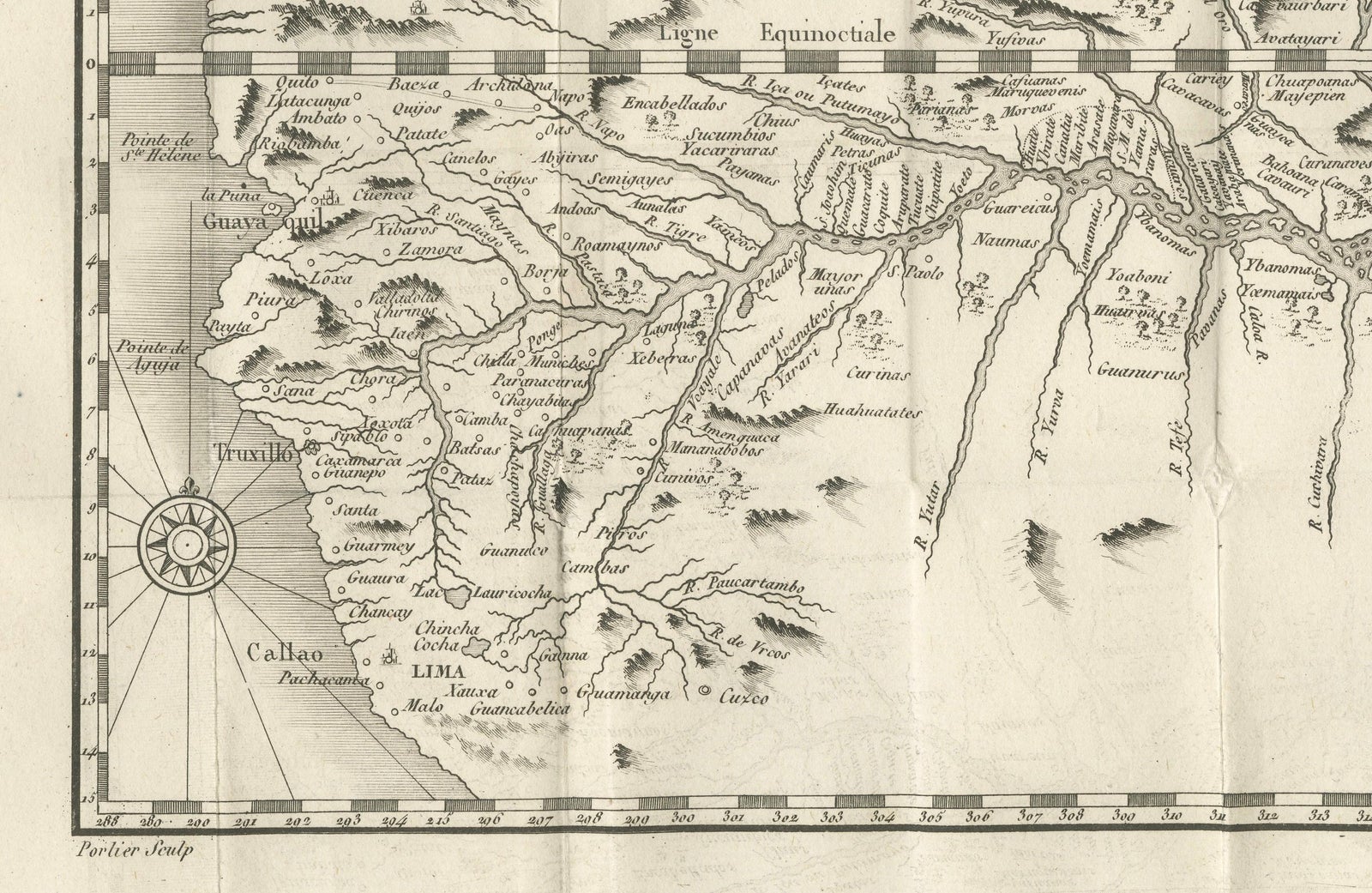
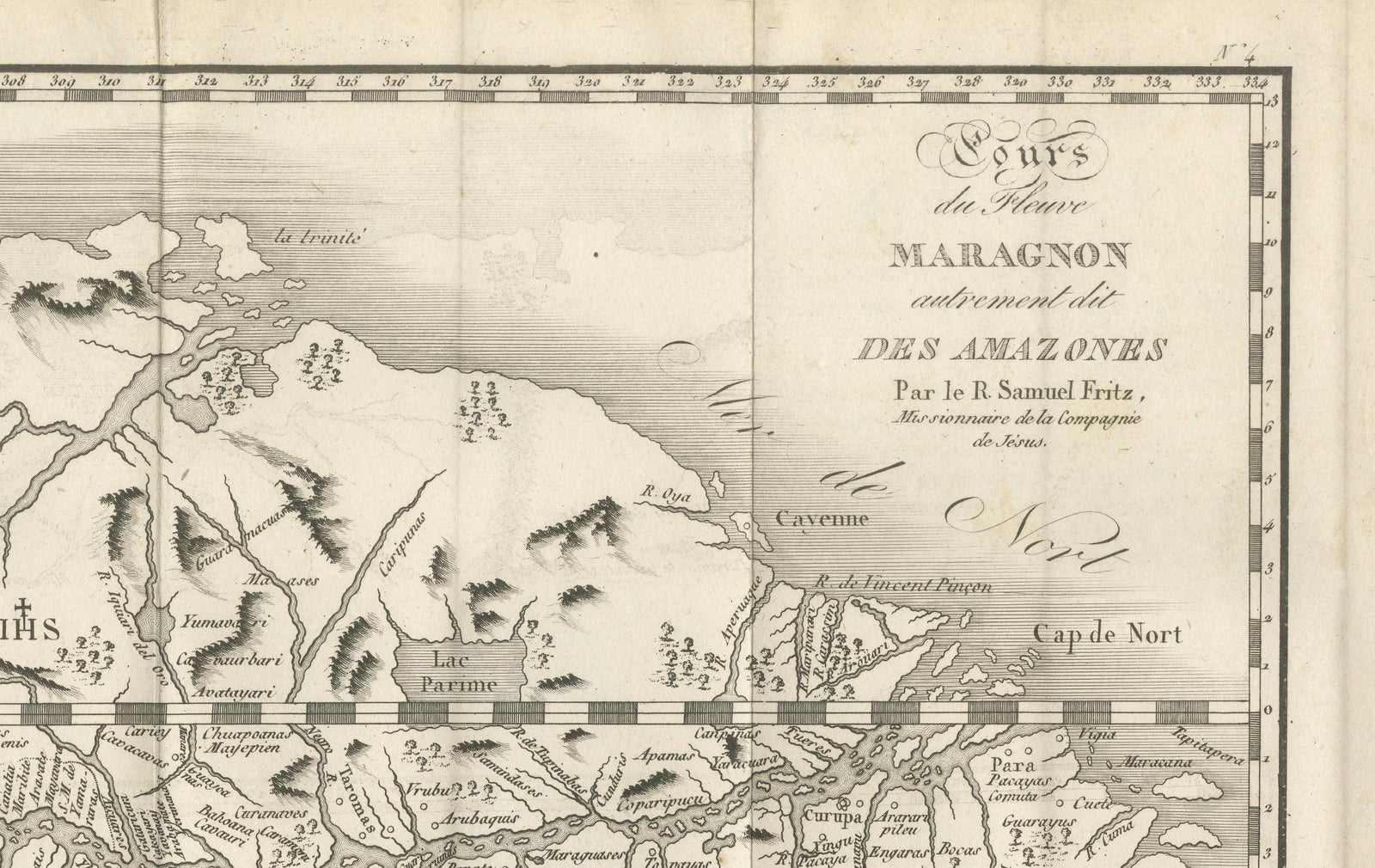
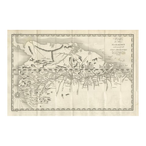
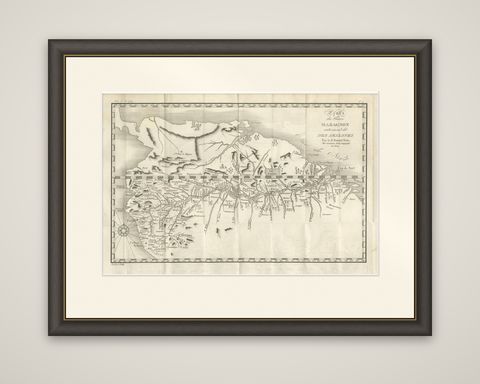
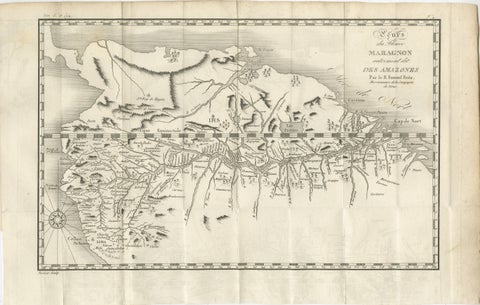
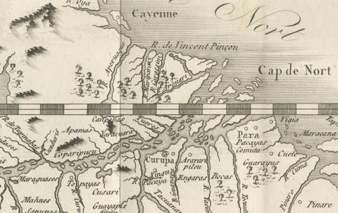
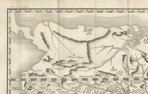
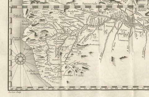
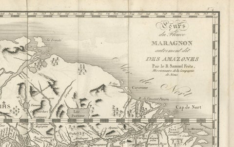
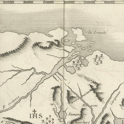
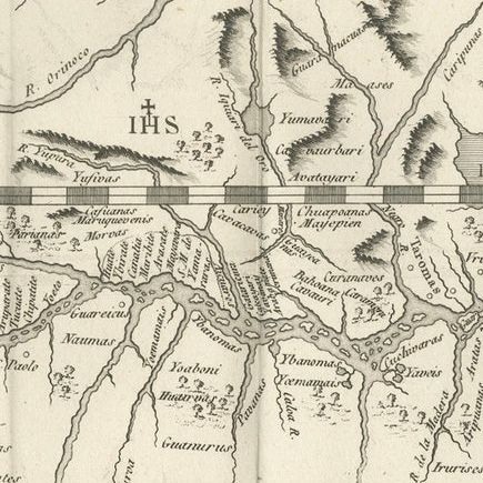
The Amazon, shown from its upper reaches in the Andes to the Atlantic, an original copper engraving by Porlier after the Jesuit missionary Samuel Fritz, dated around 1760. The sheet is titled "Cours du Fleuve Maragnon autrement dit des Amazones, par le R. Samuel Fritz, Missionnaire de la Compagnie de Jesus," and carries the engraver's credit "Porlier Sculp." at the lower left with a volume and page reference in the upper margin.
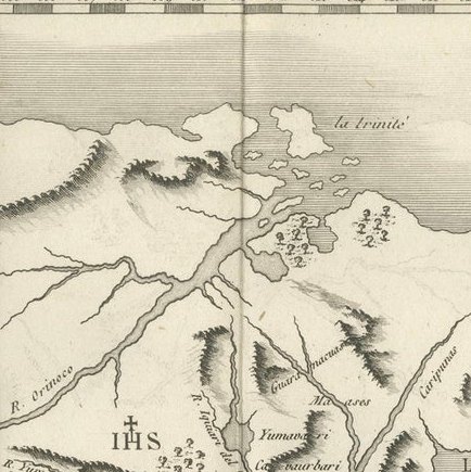
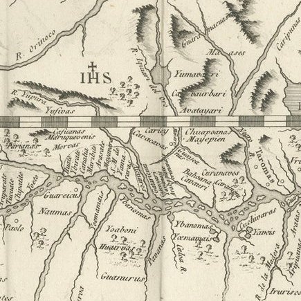
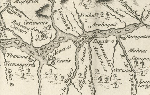
The river runs from left to right across the whole width of the sheet in a dense web of tributaries, with hundreds of small settlements and the names of peoples lettered along its banks. At the left the Andean towns and ports are marked: Lima, Callao and Truxillo. The equator ("Ligne Equinoxiale") is ruled across the sheet as a checkered band, and the Atlantic mouth is at the right, near "Cap de Nord" and the Rio Pará, with the island of Marajó drawn above it. Mountains are drawn pictorially, a compass rose stands at the lower left, and the title is set in a cartouche of script at the upper right.
Fritz spent decades among the missions of the upper Amazon and his map of the river's course was widely copied.