


A Bartele Gallery CollectionLangweer · Jakarta

American Maps & Prints
Original antique maps, charts & prints of the Americas ★ Originals only


Home › General Americana
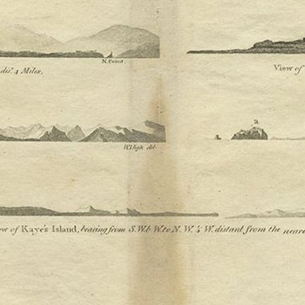
Antique Map of the West Coast of America with Island Views, ca.1784
1784 · Maps

Antique Map of the West Coast of America with Island Views, ca.1784

$505
€450 · dollar price at today's exchange rate

Buy now Ask a question

Shipping to the United States: $51 standard, $73 express, insured and tracked.

Date
1784
Maker
Captain Cook voyages
Kind
Maps
Size
30 × 49 cm (11.8 × 19.3 in)
Condition
Good
Period
The Early Republic
Reference
BGJC-208
What the condition grades mean
Excellent
Bright and clean, with no faults worth mentioning.
Very good
Only light signs of age, such as faint toning.
Good
Normal signs of age for a sheet of this period: toning, some foxing, small marks or neat old repairs.
Fair
Clear faults such as staining, tears or repairs, priced to match.

Every fault we see is written in the condition note, and the whole sheet is shown uncropped in the photos.

Guaranteed original. This is an original of the period stated, not a later reproduction or print-on-demand copy. If it is ever shown to be otherwise, we refund you in full.
Shipping to the United States. Sent from our gallery in Langweer, the Netherlands, flat between boards or rolled in a tube, and fully insured. Delivery and import charges.
About this piece

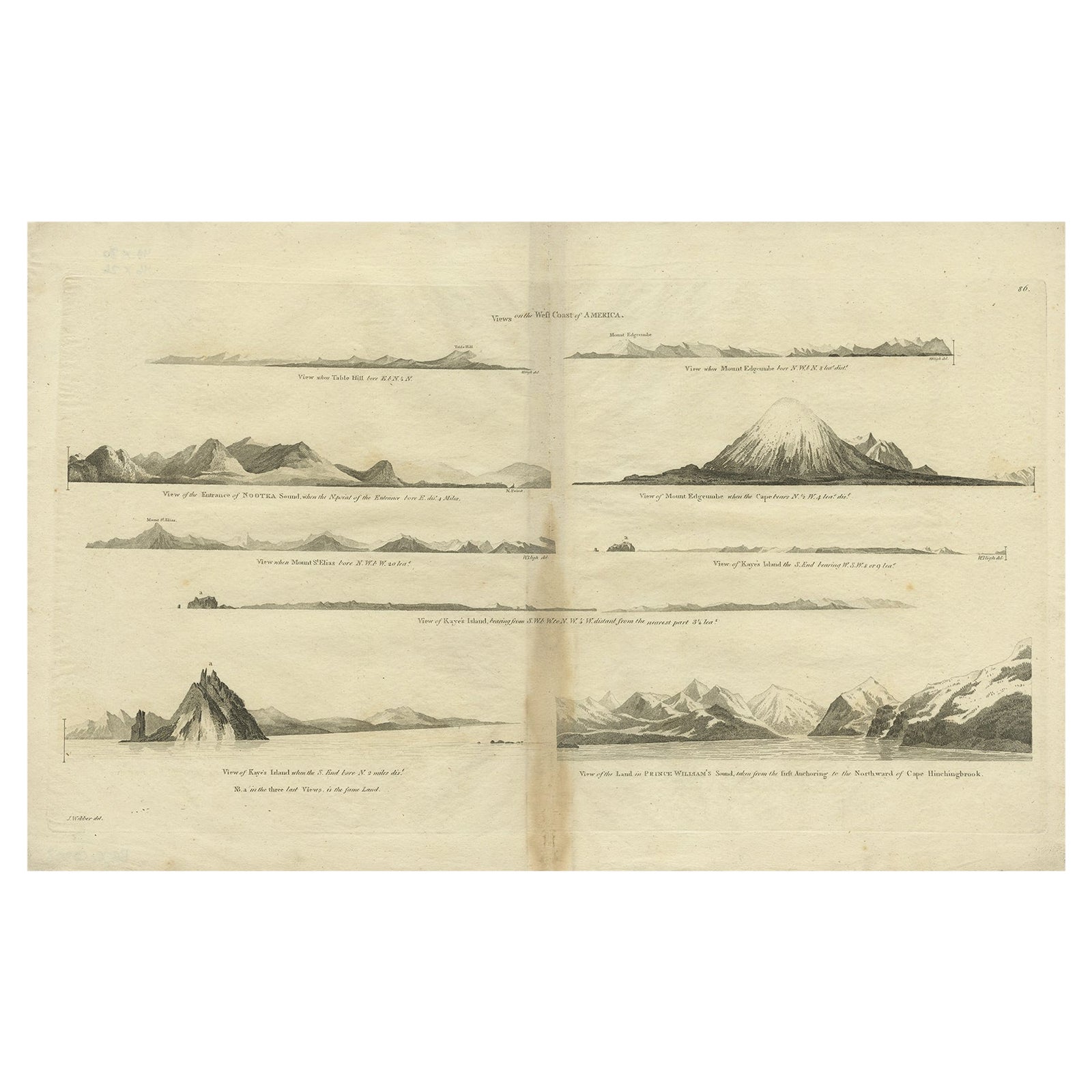
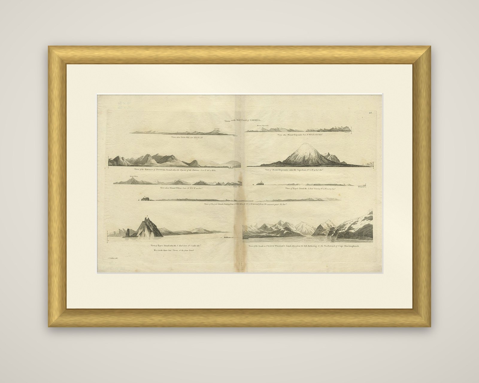
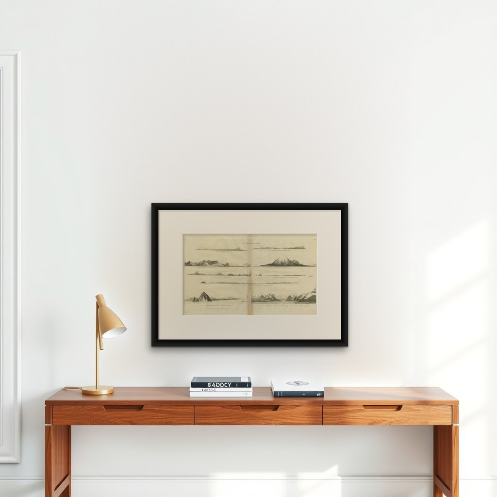
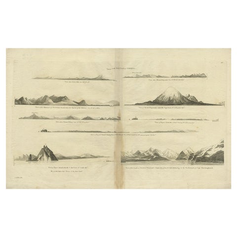
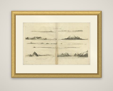
Views on the West Coast of America, an original copper engraving of coastal profiles from an edition of the accounts of Captain James Cook's voyages, dated c.1784. The sheet is printed in black and lettered "Views on the West Coast of America" at the top.

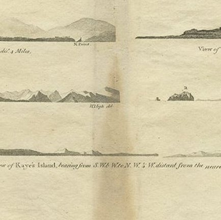
Eight views are arranged on the sheet, each with its own caption naming the headland and the bearing from which it was seen. The largest, at the lower left, shows Kayes Island rising steeply as a pointed rock from the sea, and the one at the lower right shows the high, snow-covered land of Prince William's Sound behind a glacier shore. Others show the entrance of Nootka Sound, Mount Edgecumbe, the long low outline of Kayes Island from the west, and distant coastal ranges. The profiles were drawn so that later navigators could recognize the shore from sea, and each carries notes of the distance at which it was taken.

The plates belong to the account of Cook's third voyage, which explored the North Pacific coast from Nootka Sound to the Bering Strait in 1778.

★

You might also like


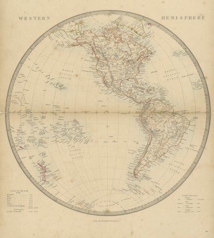
Antique Map of the Western Hemisphere with Highest Mountains Table, 1858
1858
$225
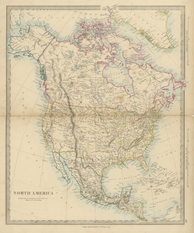
Antique Map of North America with Russian America and West Georgia, 1858
1858
$245
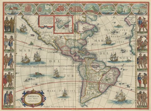
Antique Blaeu Map of America, Terra Australis Incognita, 1642
1642 · Blaeu
$10,635
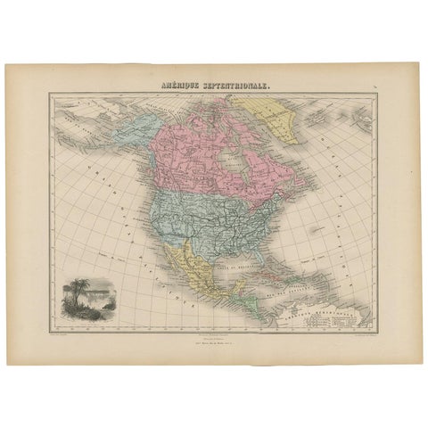
Antique Map of North and Central America by Migeon '1880'
1880
$170
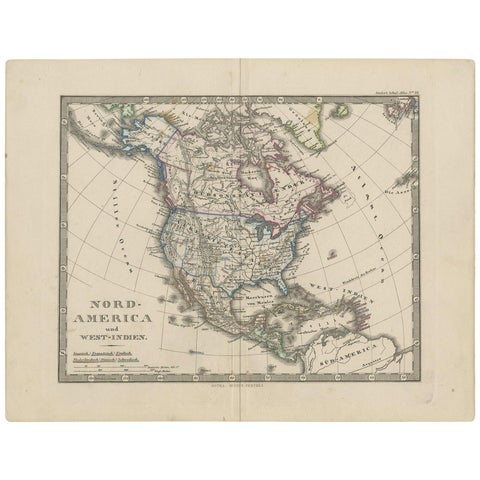
Antique Map of North America and the West Indies by Stieler, circa 1865
1865 · Stieler
$135
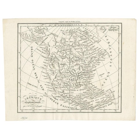
Antique Map of North America by Dufour 'circa 1834'
1834
$225
Antique Map of North America by Levasseur, 1875
1875
$430
Antique Map of North and South America by Schneider and Weigel, 1818
1818 · Arrowsmith
$1,680

Ask about this print

We reply by email, usually within one working day.

Your favorites

Saved in this browser. Email the list to yourself to keep it on any device.

We use your email to send this list and, only if you tick the box and confirm, for occasional new arrivals. Every email has an unsubscribe link. Bartele Gallery, the Netherlands.

Your bag

Total

Each piece is bought on its own; shipping is added at checkout.