1765 · Maps
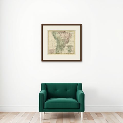
Attractive Antique Hand-Colored Map of South America, ca.1765
$1,400
€1,250 · dollar price at today's exchange rate
Buy now Ask a question
Shipping to the United States: $51 standard, $73 express, insured and tracked.
- Date
- 1765
- Kind
- Maps
- Size
- 43 × 55 cm (16.9 × 21.7 in)
- Condition
- Good
- Period
- Colonial America
- Places
- South America
- Reference
- PCT-57984
What the condition grades mean
- Excellent
- Bright and clean, with no faults worth mentioning.
- Very good
- Only light signs of age, such as faint toning.
- Good
- Normal signs of age for a sheet of this period: toning, some foxing, small marks or neat old repairs.
- Fair
- Clear faults such as staining, tears or repairs, priced to match.
Every fault we see is written in the condition note, and the whole sheet is shown uncropped in the photos.
Guaranteed original. This is an original of the period stated, not a later reproduction or print-on-demand copy. If it is ever shown to be otherwise, we refund you in full.
Shipping to the United States. Sent from our gallery in Langweer, the Netherlands, flat between boards or rolled in a tube, and fully insured.
Delivery and import charges.
About this piece
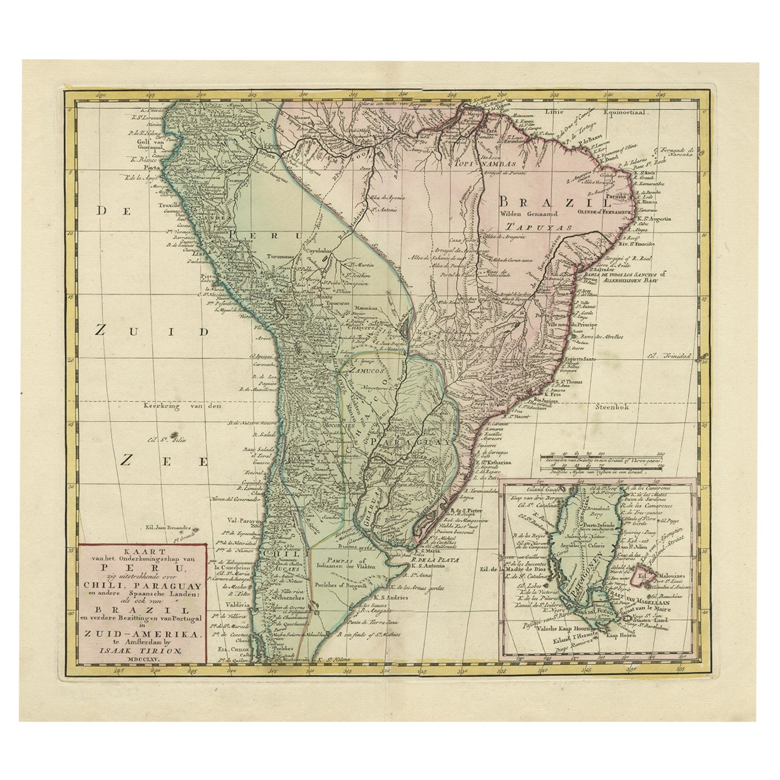
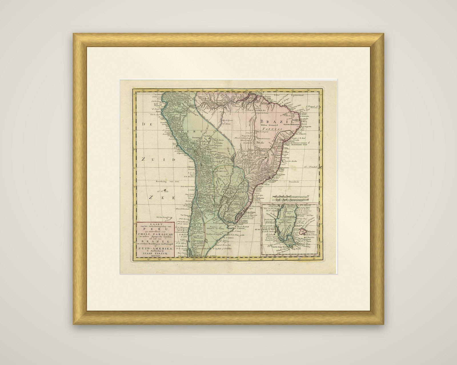
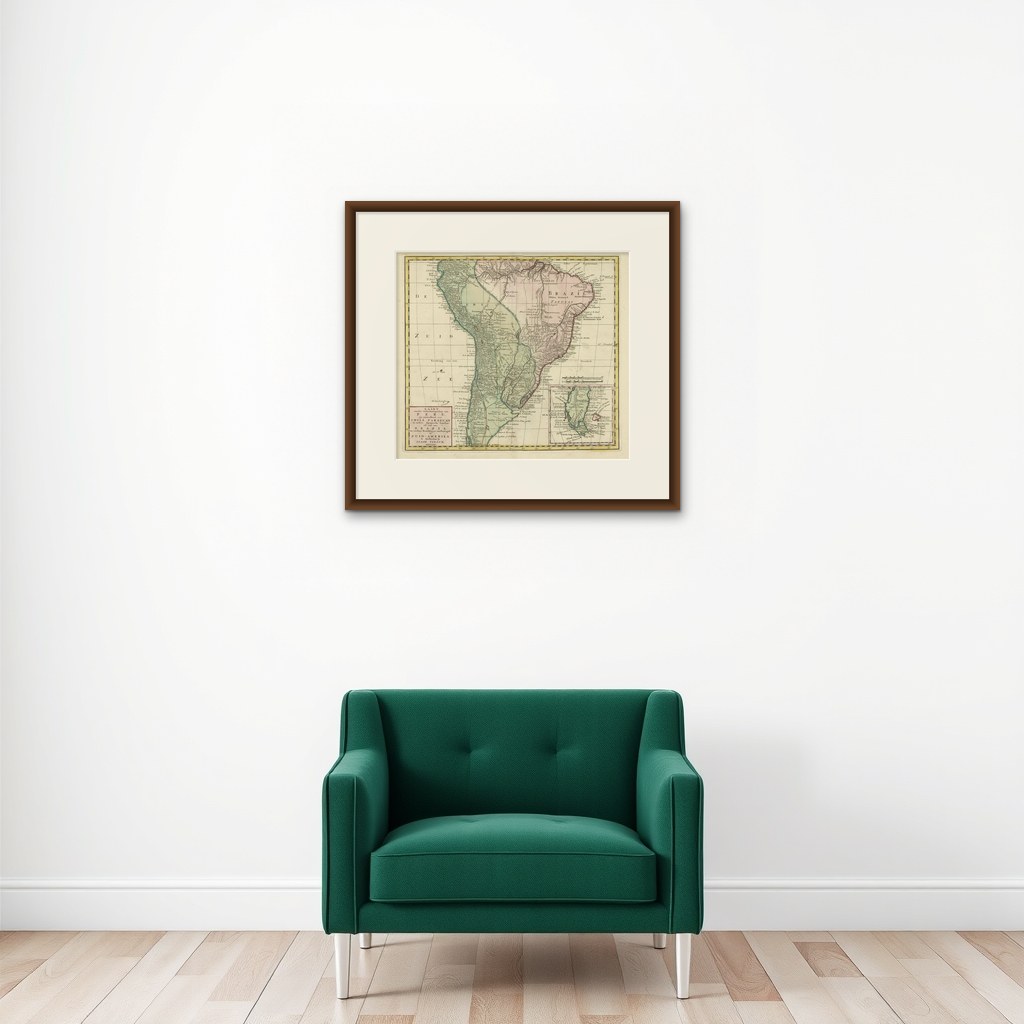
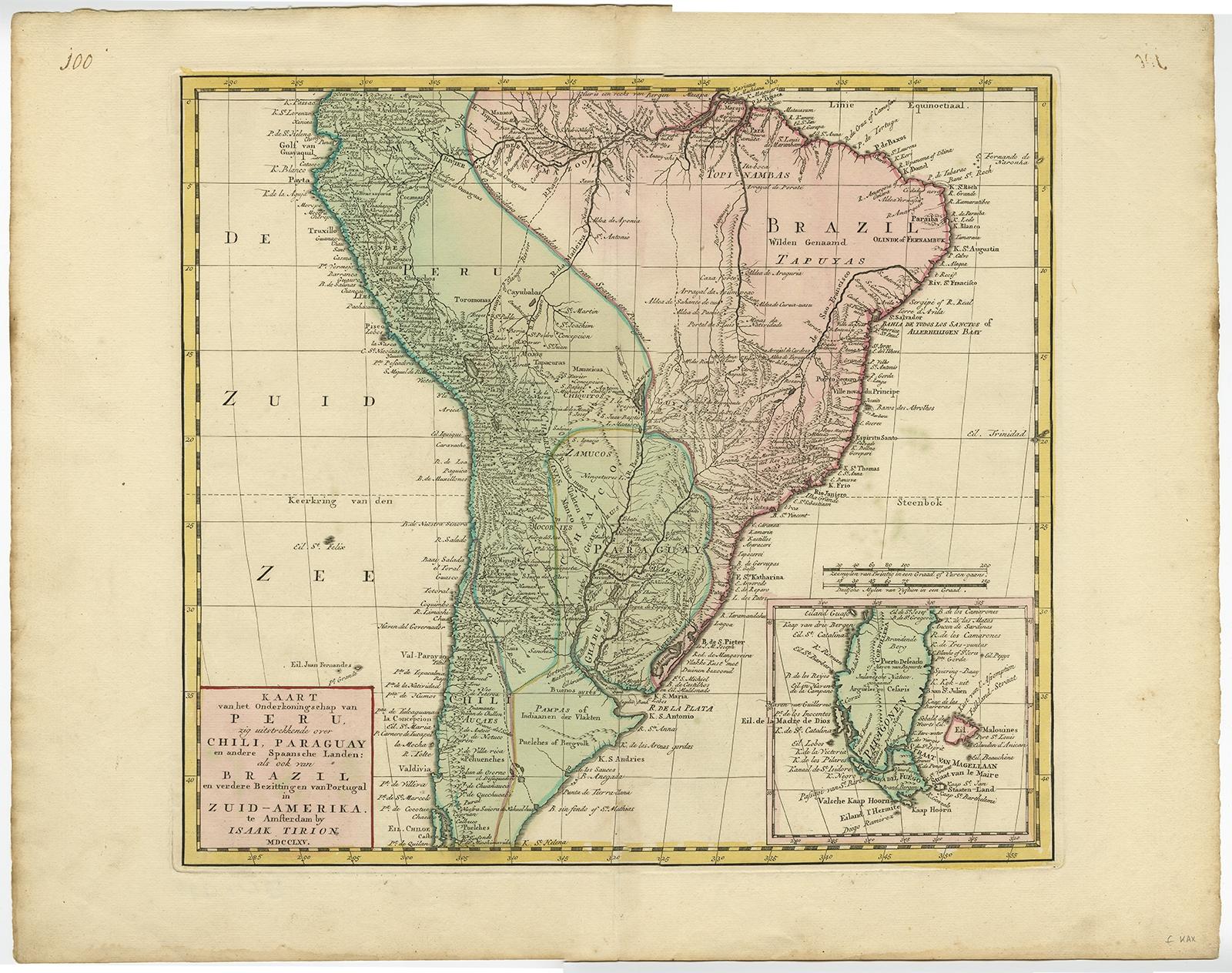
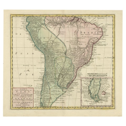
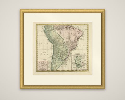
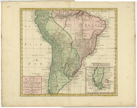
Kaart van het Onderkoningschap van Peru, an original antique map of South America published in Amsterdam by Isaak Tirion and dated MDCCLXV (1765) in the title block. The engraved sheet has original hand coloring in outline.
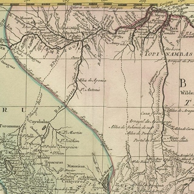
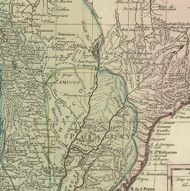
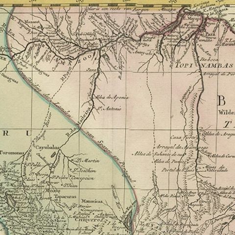
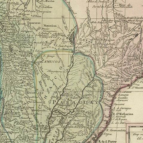
The full Dutch title describes the map as extending over Peru, Chile, Paraguay and the other Spanish lands, as well as Brazil and the further possessions of Portugal in South America. The sheet shows most of the continent, lacking the northern parts of Venezuela and Colombia. Colored zones set the viceroyalty of Peru, Chile and Paraguay off from Portuguese Brazil, which is lettered in the east with the names of native peoples such as Tapuyas and Topinambas. Rivers, mission settlements and towns are lettered in fine detail, and the Rio de la Plata, the Andes and the long Pacific coast are drawn with care. An inset at the lower right shows the southern tip of the continent with the Strait of Magellan and Tierra del Fuego.
Tirion was a leading Amsterdam publisher of atlases and town plans in the eighteenth century, and his maps drew largely on those of Guillaume de l'Isle. This sheet presents a snapshot of Spanish and Portuguese South America before the borders of the independent nations took shape.