

A Bartele Gallery CollectionLangweer · Jakarta

American Maps & Prints
Original antique maps, charts & prints of the Americas ★ Originals only


Home › Canada & the North
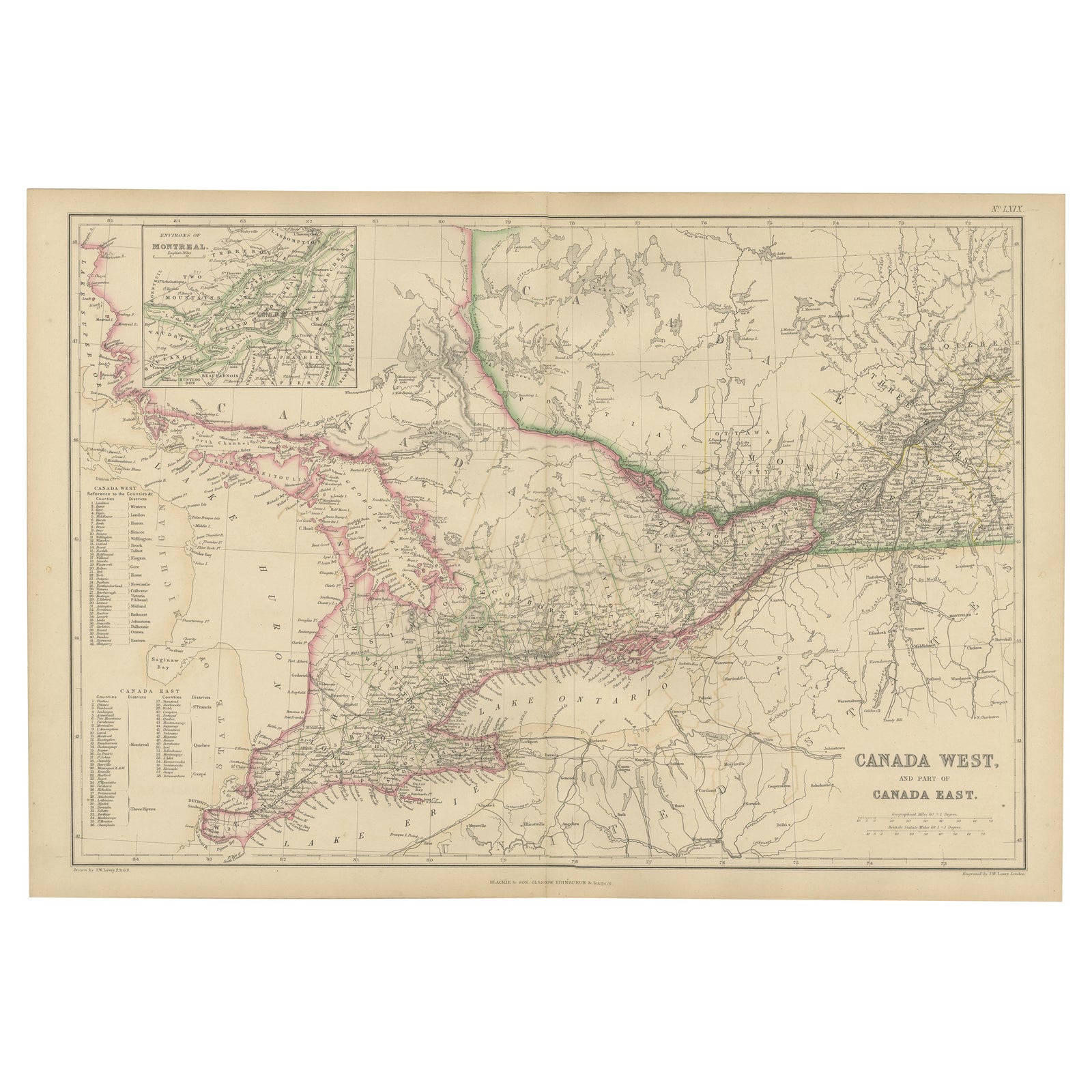
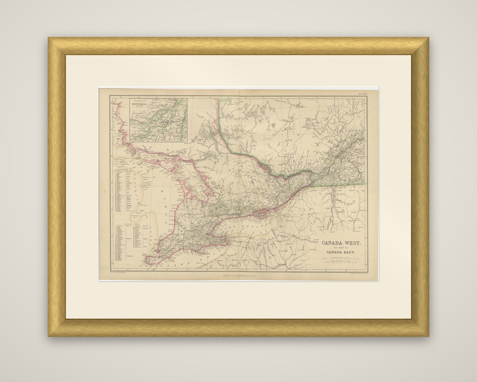
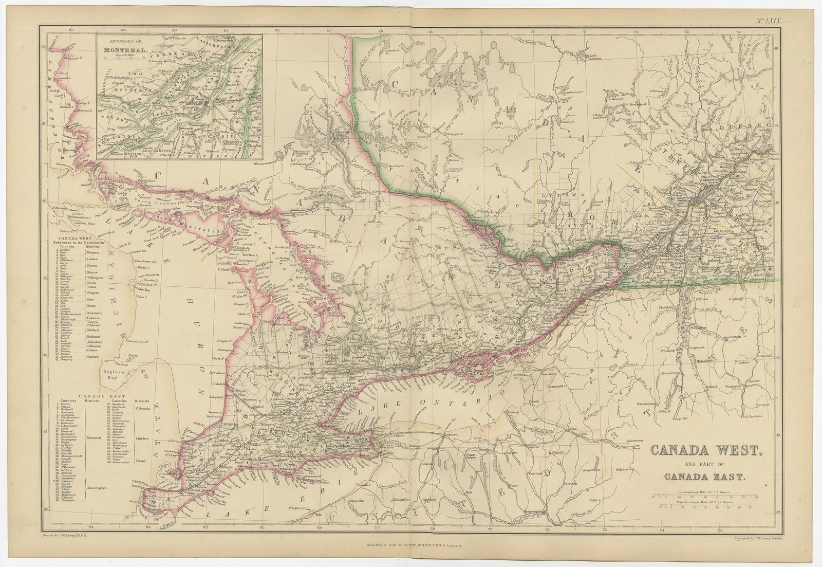
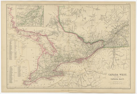
Canada West and Part of Canada East, Antique Map, Great Lakes Region, 1859
1859 · Maps

Canada West and Part of Canada East, Antique Map, Great Lakes Region, 1859

$360
€320 · dollar price at today's exchange rate

Buy now Ask a question

Shipping to the United States: $51 standard, $73 express, insured and tracked.

Date
1859
Kind
Maps
Size
37 × 54 cm (14.6 × 21.3 in)
Condition
Good. Good antique condition. Light overall age toning consistent with age. Minor scattered foxing and light handling marks, mainly confined to the margins. Original central fold as issued. No major tears or losses.
Period
Westward Expansion & Civil War
Places
Canada
Reference
BG-12685-1-69
What the condition grades mean
Excellent
Bright and clean, with no faults worth mentioning.
Very good
Only light signs of age, such as faint toning.
Good
Normal signs of age for a sheet of this period: toning, some foxing, small marks or neat old repairs.
Fair
Clear faults such as staining, tears or repairs, priced to match.

Every fault we see is written in the condition note, and the whole sheet is shown uncropped in the photos.

Guaranteed original. This is an original of the period stated, not a later reproduction or print-on-demand copy. If it is ever shown to be otherwise, we refund you in full.
Shipping to the United States. Sent from our gallery in Langweer, the Netherlands, flat between boards or rolled in a tube, and fully insured. Delivery and import charges.
About this piece

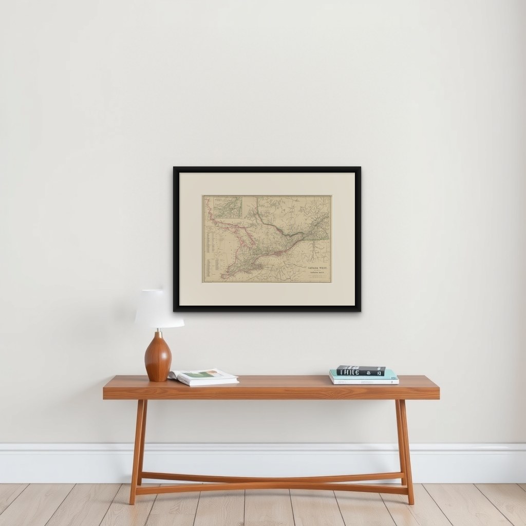
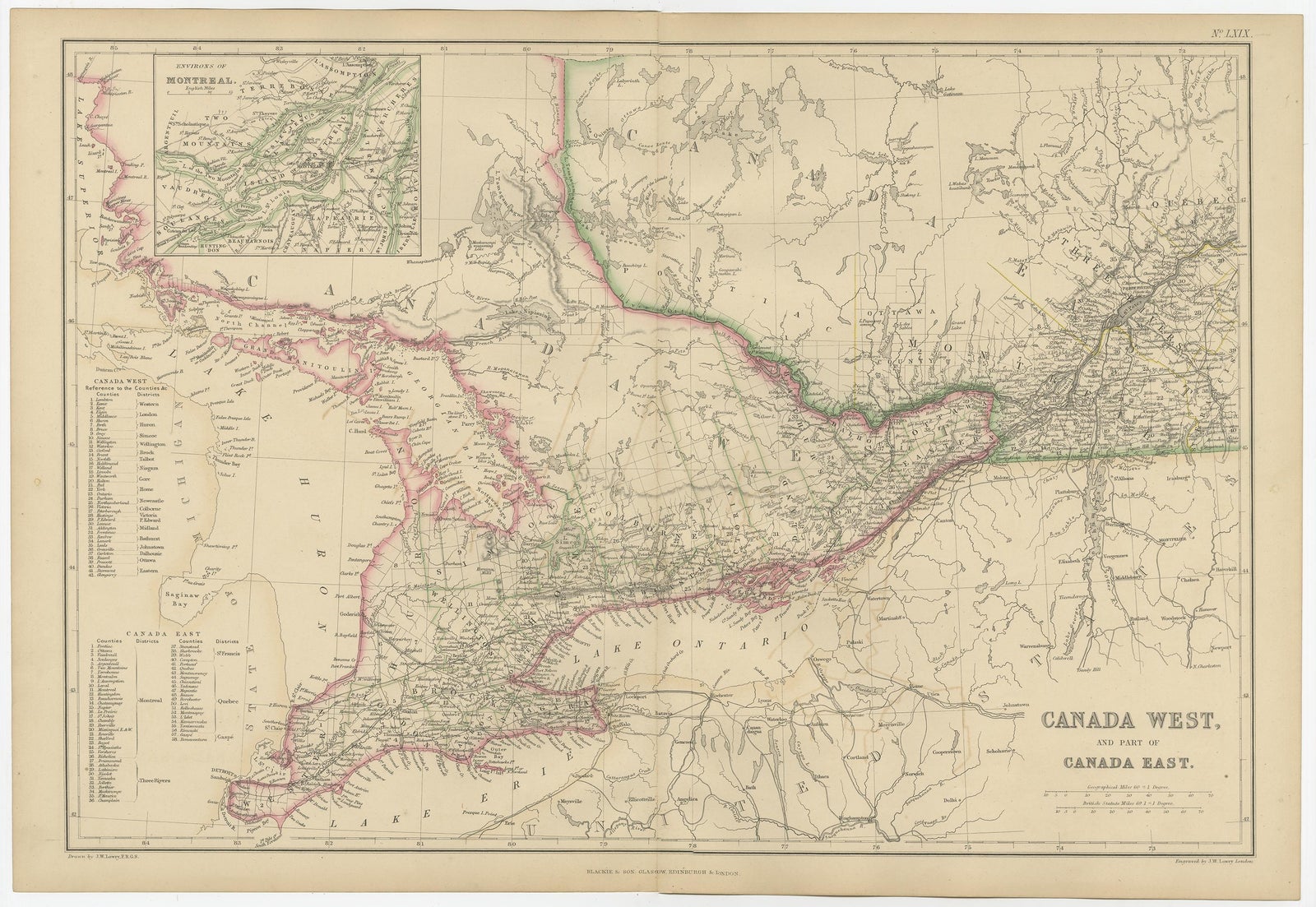
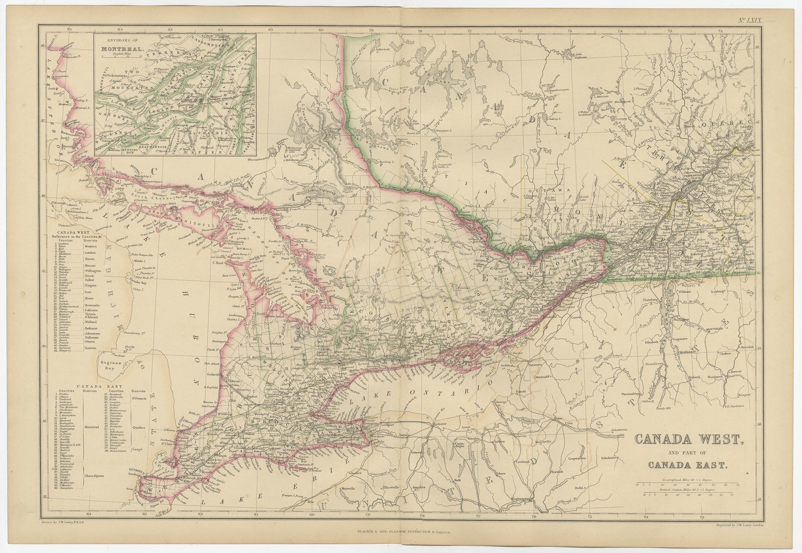
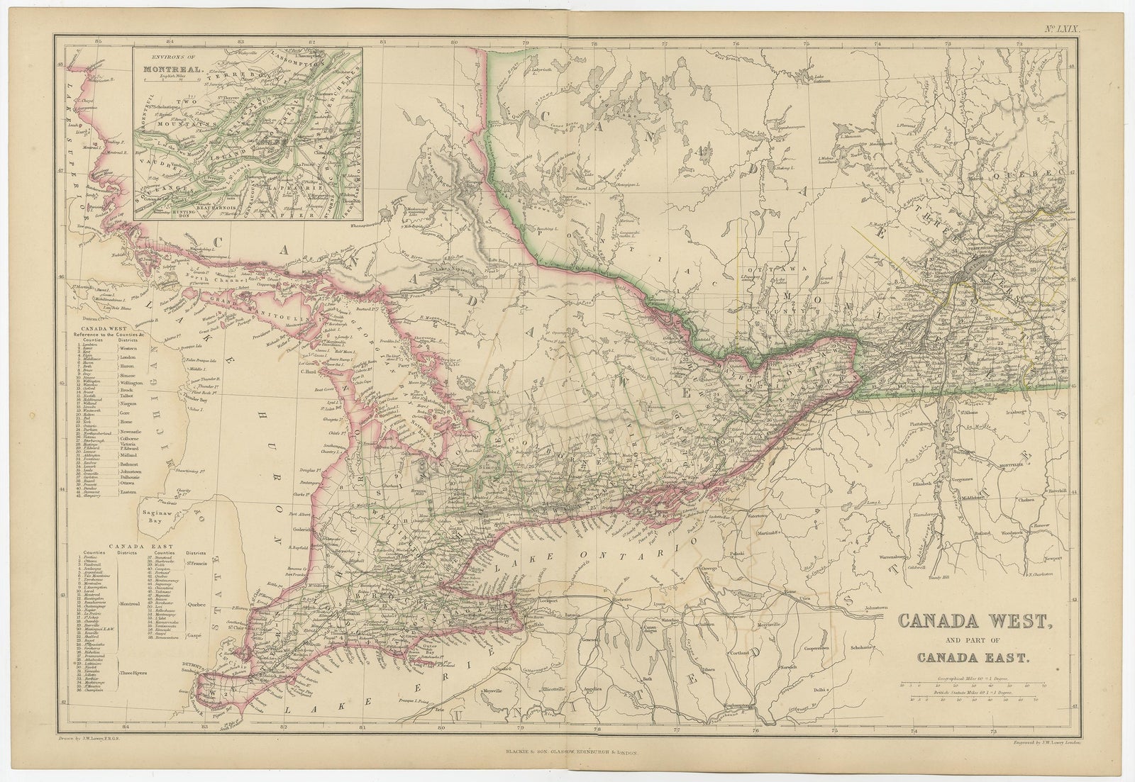
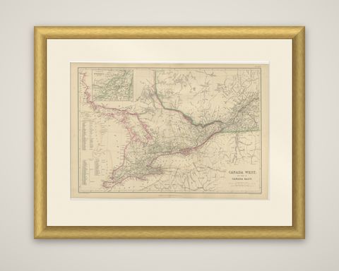
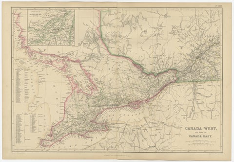
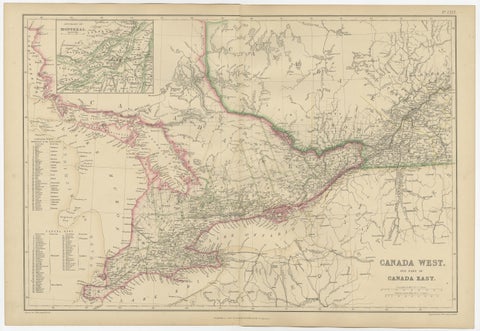
Canada West and part of Canada East on a map from The Imperial Atlas of Modern Geography, published by W. G. Blackie in 1859. The sheet is an engraved map with original hand color, with the provincial and international boundaries picked out in outline.

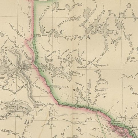
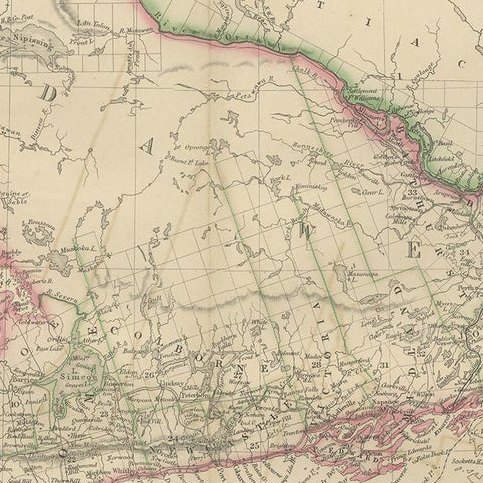
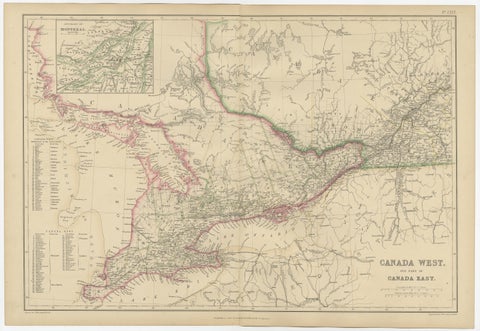
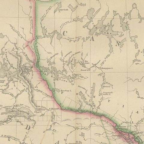
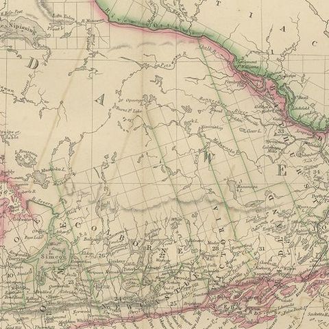
The map covers Upper and Lower Canada, corresponding largely to present-day Ontario and Quebec, centered on the lower Great Lakes and the St. Lawrence corridor. Lake Ontario, Lake Erie, Lake Huron and Georgian Bay frame the settled peninsula of Canada West, where counties, towns, roads and railways are densely lettered, and the St. Lawrence runs northeast through Canada East at the right. An inset of the environs of Montreal sits at upper left. Two columns of numbered county lists are printed at lower left, one for Canada West and one for Canada East, with a scale at lower right and the title lettered in the corner.

The title reflects the administrative division of the Province of Canada into Canada West and Canada East, which lasted from the union of 1841 until Confederation in 1867.

★

You might also like


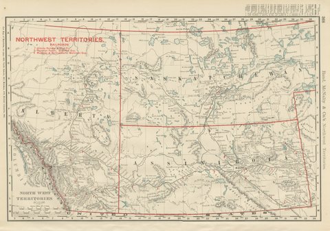
Antique Map of the North West Territories, Before Alberta and Saskatchewan, 1899
1899 · Rand McNally
$330
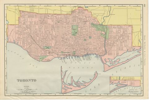
Antique Map of Toronto, with Queen's Park, Rand McNally, 1899
1899 · Rand McNally
$330
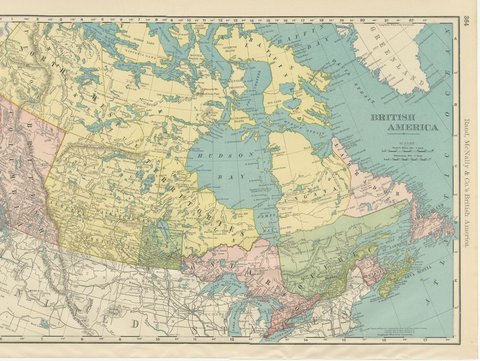
Antique Map of British America, with Hudson Bay, Rand McNally, 1899
1899 · Rand McNally
$440
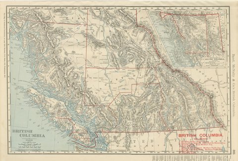
Antique Map of British Columbia, with Queen Charlotte Islands, 1899
1899 · Rand McNally
$385
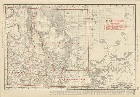
Antique Map of Manitoba, with Lake Winnipeg, Rand McNally, 1899
1899 · Rand McNally
$330
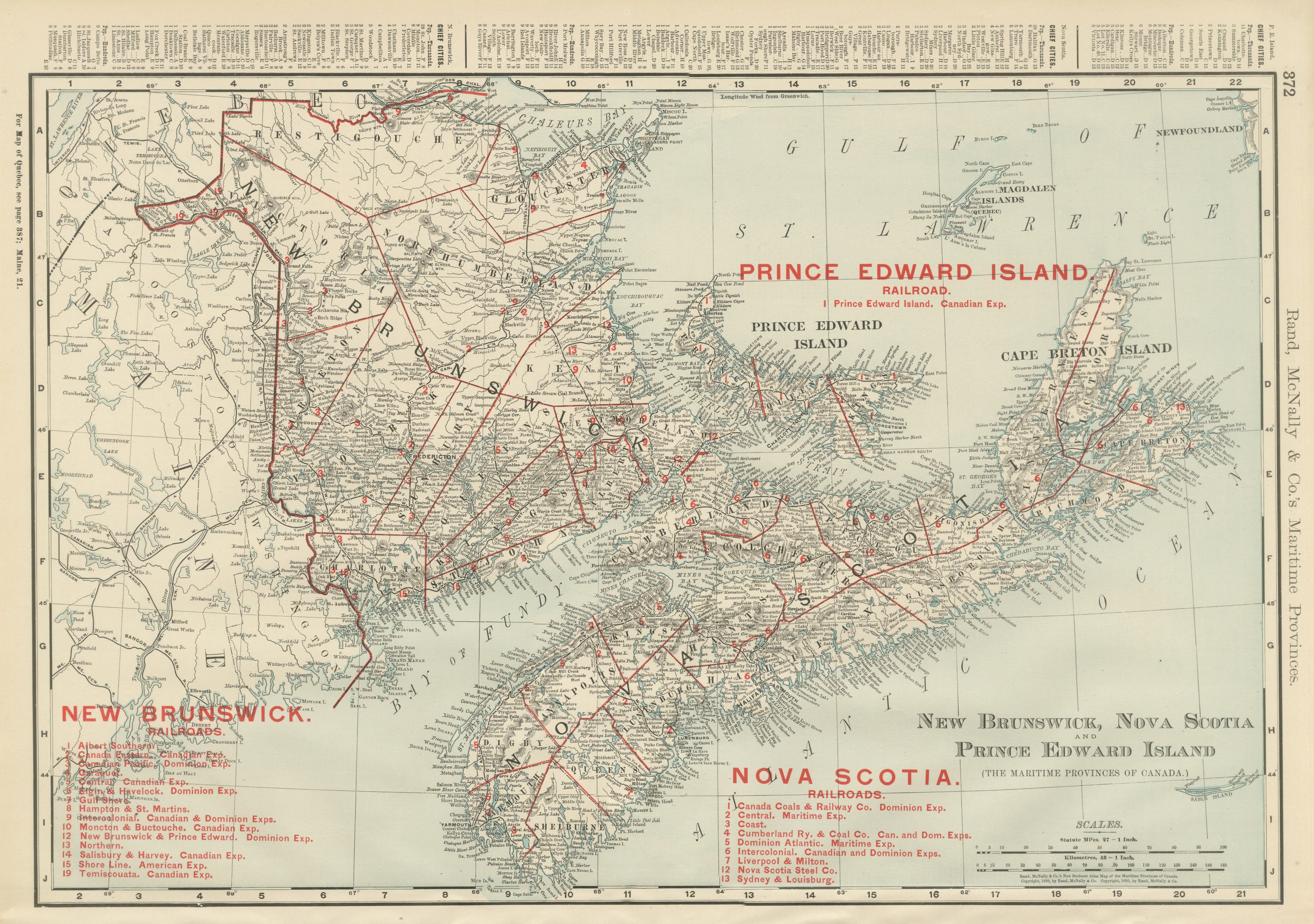
Antique Maritimes Map, New Brunswick, Nova Scotia and Prince Edward Island, 1899
1899 · Rand McNally
$330
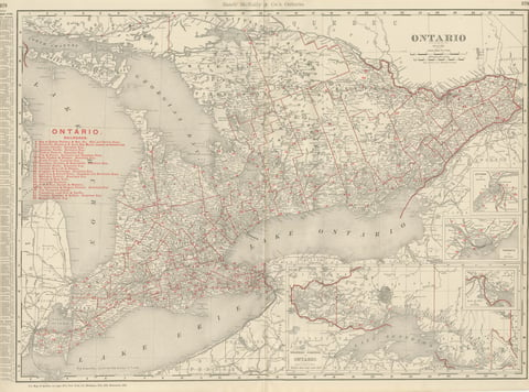
Antique Map of Ontario, with Toronto and Ottawa Insets, Rand McNally, 1899
1899 · Rand McNally
$385
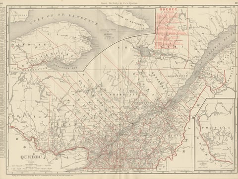
Antique Map of Quebec, with Gaspé Inset, Rand McNally, 1899
1899 · Rand McNally
$385

Ask about this print

We reply by email, usually within one working day.

Your favorites

Saved in this browser. Email the list to yourself to keep it on any device.

We use your email to send this list and, only if you tick the box and confirm, for occasional new arrivals. Every email has an unsubscribe link. Bartele Gallery, the Netherlands.

Your bag

Total

Each piece is bought on its own; shipping is added at checkout.