

A Bartele Gallery CollectionLangweer · Jakarta

American Maps & Prints
Original antique maps, charts & prints of the Americas ★ Originals only


Home › The United States › California
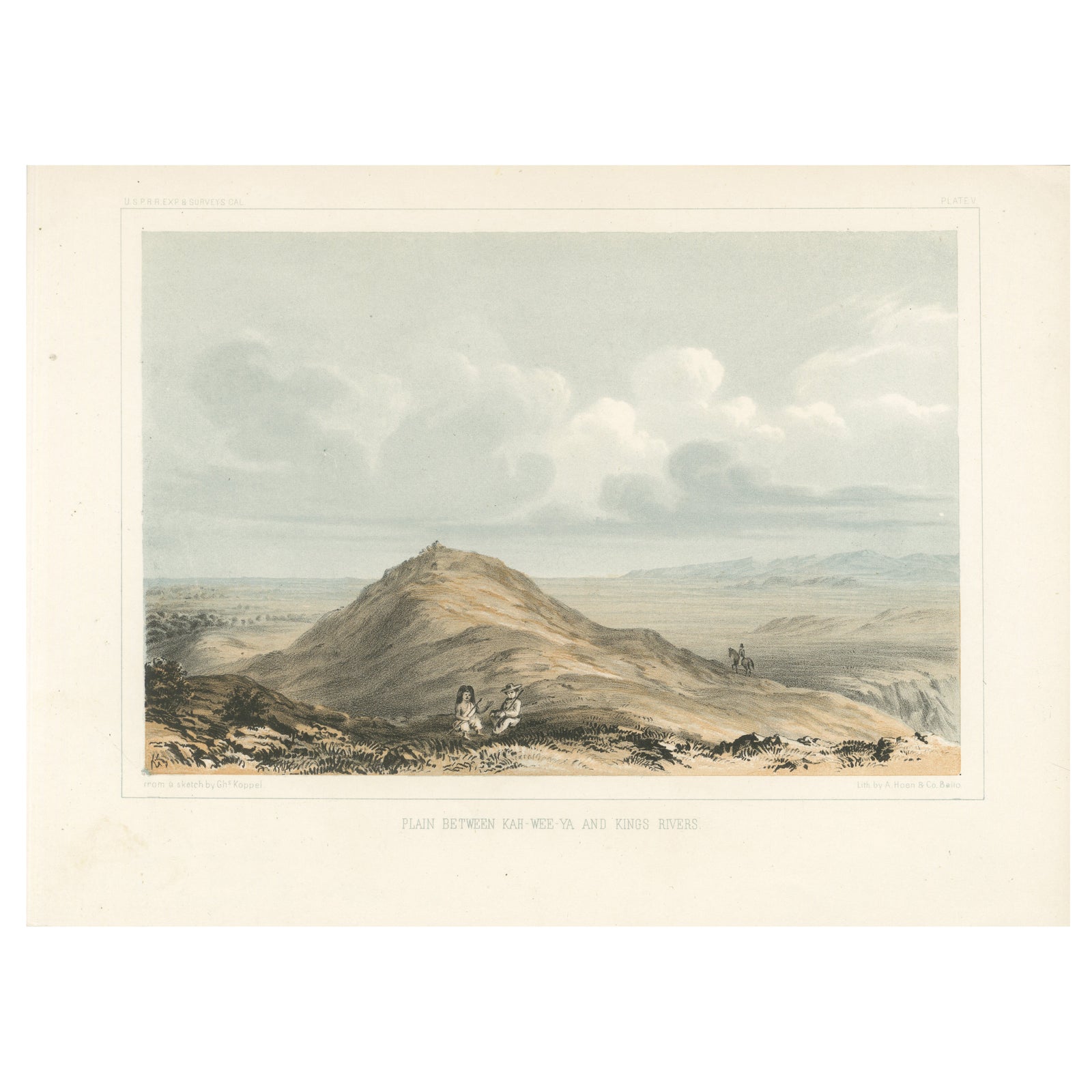
Expansive View of the Plains Between Kah-Wee-Ya and Kings Rivers, 1856
1856 · City Views & Plans

Expansive View of the Plains Between Kah-Wee-Ya and Kings Rivers, 1856

$245
€220 · dollar price at today's exchange rate

Buy now Ask a question

Shipping to the United States: $51 standard, $73 express, insured and tracked.

Date
1856
Kind
City Views & Plans
Size
20.7 × 28.3 cm (8.1 × 11.1 in)
Period
Westward Expansion & Civil War
Places
California
Reference
BG-14038-73
What the condition grades mean
Excellent
Bright and clean, with no faults worth mentioning.
Very good
Only light signs of age, such as faint toning.
Good
Normal signs of age for a sheet of this period: toning, some foxing, small marks or neat old repairs.
Fair
Clear faults such as staining, tears or repairs, priced to match.

Every fault we see is written in the condition note, and the whole sheet is shown uncropped in the photos.

Guaranteed original. This is an original of the period stated, not a later reproduction or print-on-demand copy. If it is ever shown to be otherwise, we refund you in full.
Shipping to the United States. Sent from our gallery in Langweer, the Netherlands, flat between boards or rolled in a tube, and fully insured. Delivery and import charges.
About this piece

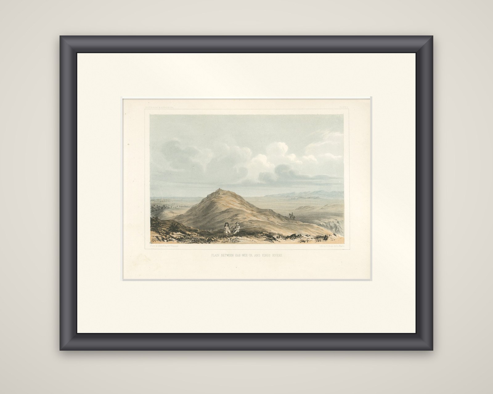
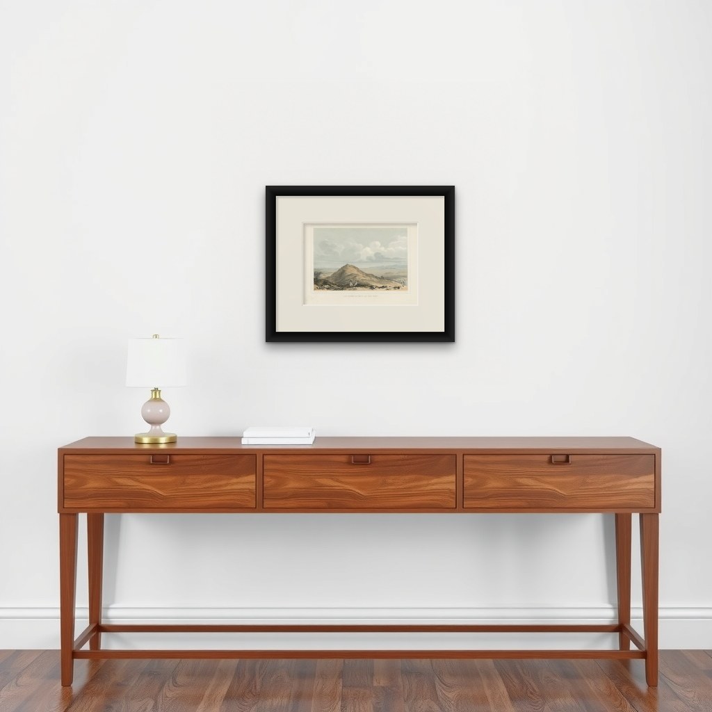
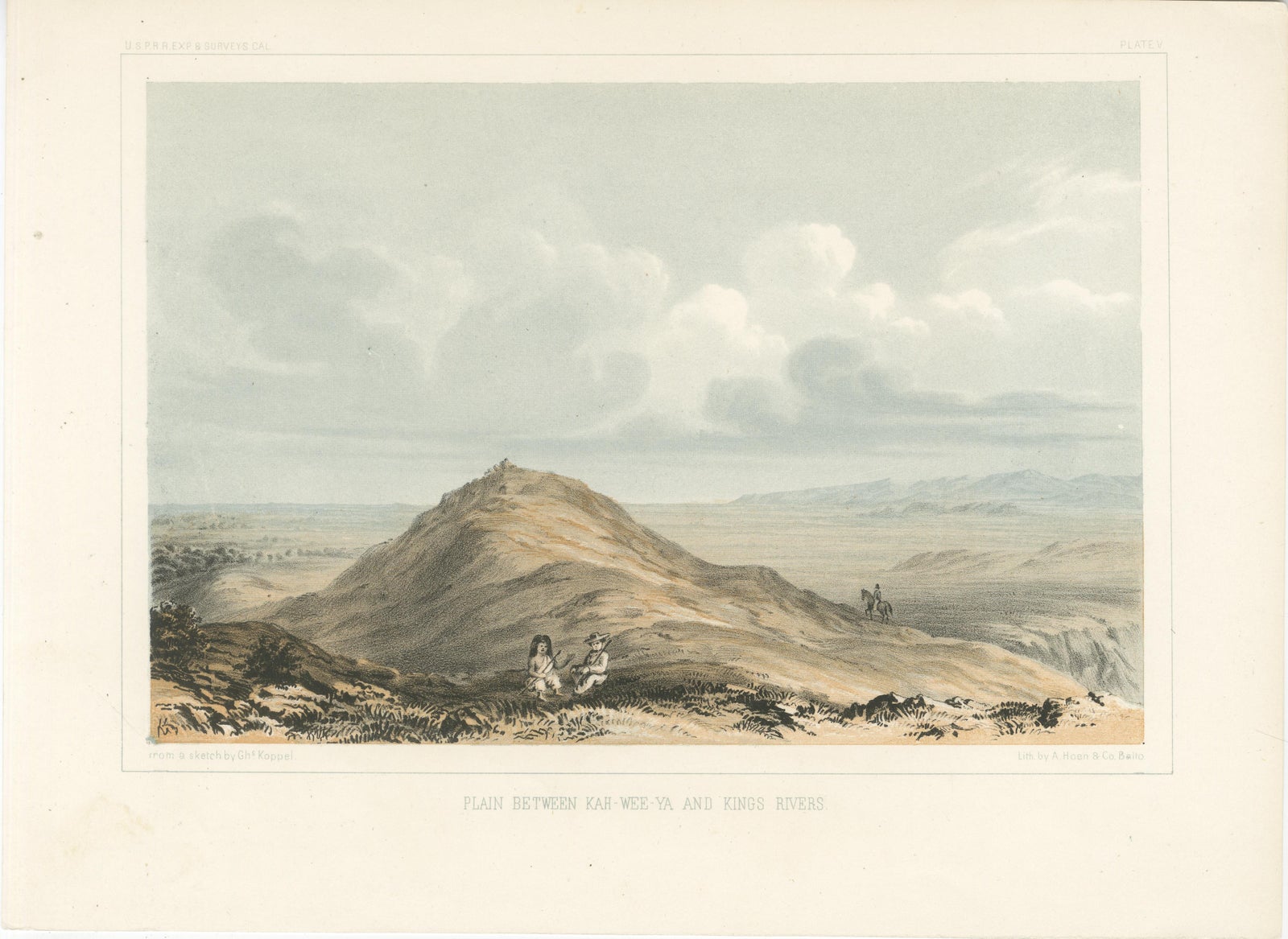
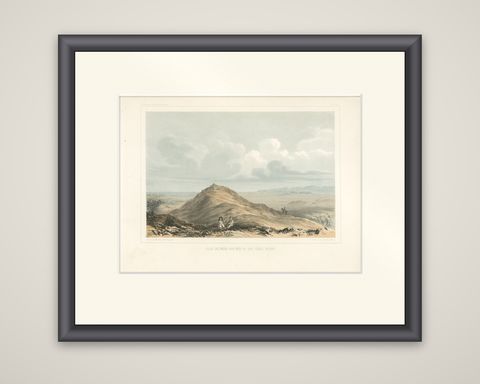
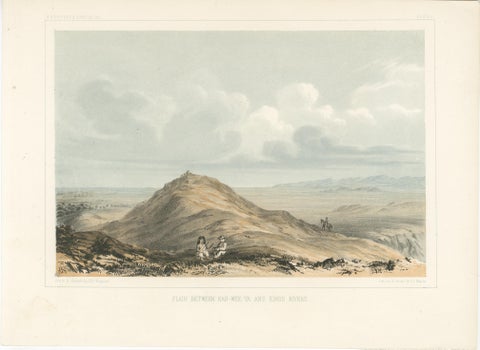
Plain between Kah-wee-ya and Kings Rivers, a color-tinted lithograph of 1856 from the Pacific Railroad Surveys reports. The sheet is lettered "Plain between Kar-wee-ya and Kings Rivers" beneath the image, with the draftsman's credit at lower left and a Baltimore lithographer's imprint at lower right.

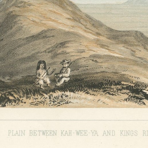
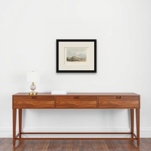
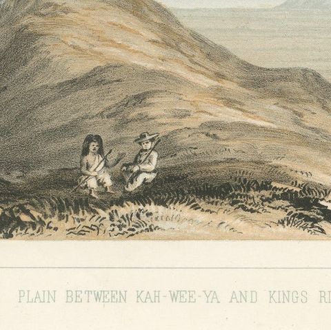
A rounded hill rises in the center of the view, its crest marked by a tiny cairn or post, and two seated figures, one wearing a broad hat, rest on the slope in the lower left. Beyond them a wide plain runs to a distant blue range under heavy, billowing clouds, and a lone horseman looks out across a gully at the right.

The scene is in the southern San Joaquin Valley country of California, between rivers that drain the Sierra Nevada. The plate was made for the Pacific Railroad reports, which recorded the western ends of the proposed routes as well as the plains and deserts crossed on the way.

★

More of California


Original Antique Map of the Western Part of NEW MEXICO & CALIFORNIA
1765
$1,455
Antique Map of Baja California and parts of Alta California, Arizona and Sonora
1765
$1,110
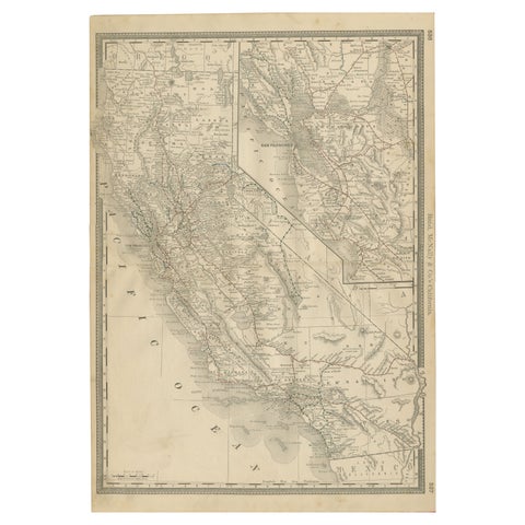
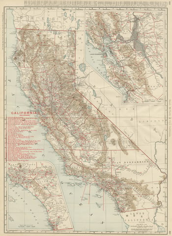
1888 California Map – The Golden State’s Railroads, Cities & Counties
1888 · Rand McNally
$605
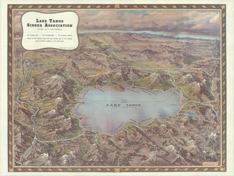
Vintage Lake Tahoe Bird’s-Eye View Pictorial Map by Gerald A. Eddy, circa 1945
1945
$605
Antique Map of California, The Golden State, Rand McNally, 1899
1899 · Rand McNally
$555
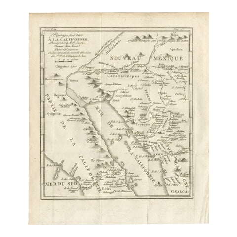
Old Map of the Overland Route to California – Early Exploration Pathways, 1701
1701
$550
Antique Map of San Francisco, with Golden Gate Park, Rand McNally, 1899
1899 · Rand McNally
$500
Vintage Literary Map of Los Angeles by Linda Ayriss, 1987
1987
$500

Ask about this print

We reply by email, usually within one working day.

Your favorites

Saved in this browser. Email the list to yourself to keep it on any device.

We use your email to send this list and, only if you tick the box and confirm, for occasional new arrivals. Every email has an unsubscribe link. Bartele Gallery, the Netherlands.

Your bag

Total

Each piece is bought on its own; shipping is added at checkout.