1760 · Maps
Map of Tierra del Fuego and the Straits of Magellan and Le Maire, c.1760
$380
€340 · dollar price at today's exchange rate
Buy now Ask a question
Shipping to the United States: $51 standard, $73 express, insured and tracked.
- Date
- 1760
- Kind
- Maps
- Size
- 20 × 31.5 cm (7.9 × 12.4 in)
- Period
- Colonial America
- Places
- Argentina, Chile
- Reference
- BG-14078-36
What the condition grades mean
- Excellent
- Bright and clean, with no faults worth mentioning.
- Very good
- Only light signs of age, such as faint toning.
- Good
- Normal signs of age for a sheet of this period: toning, some foxing, small marks or neat old repairs.
- Fair
- Clear faults such as staining, tears or repairs, priced to match.
Every fault we see is written in the condition note, and the whole sheet is shown uncropped in the photos.
Guaranteed original. This is an original of the period stated, not a later reproduction or print-on-demand copy. If it is ever shown to be otherwise, we refund you in full.
Shipping to the United States. Sent from our gallery in Langweer, the Netherlands, flat between boards or rolled in a tube, and fully insured.
Delivery and import charges.
About this piece
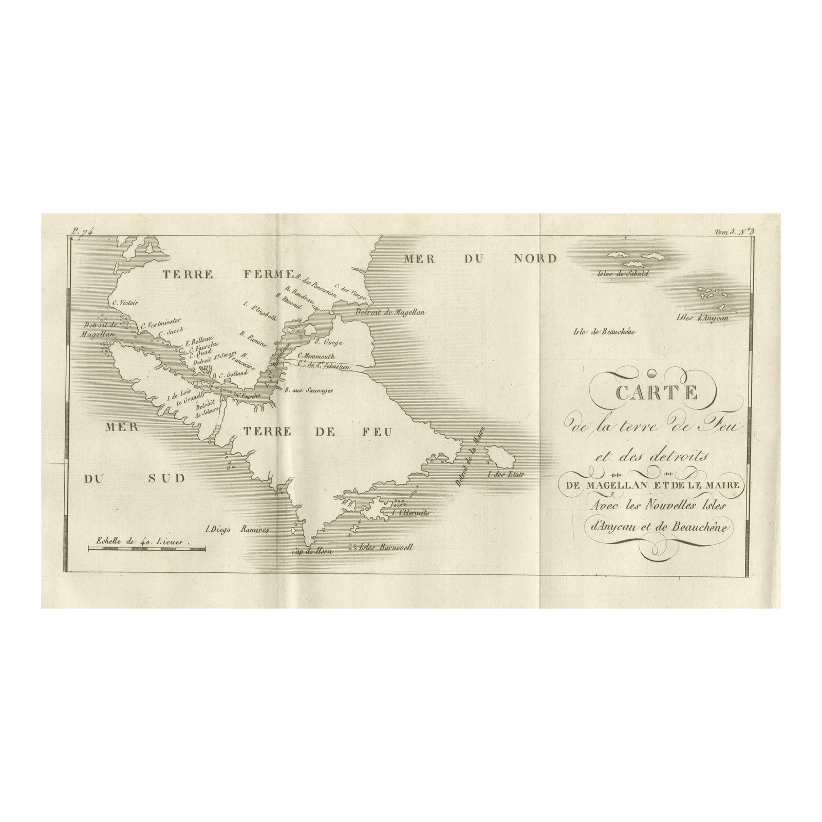
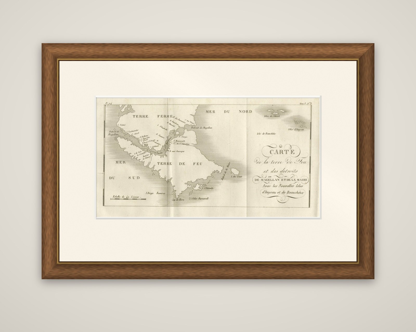
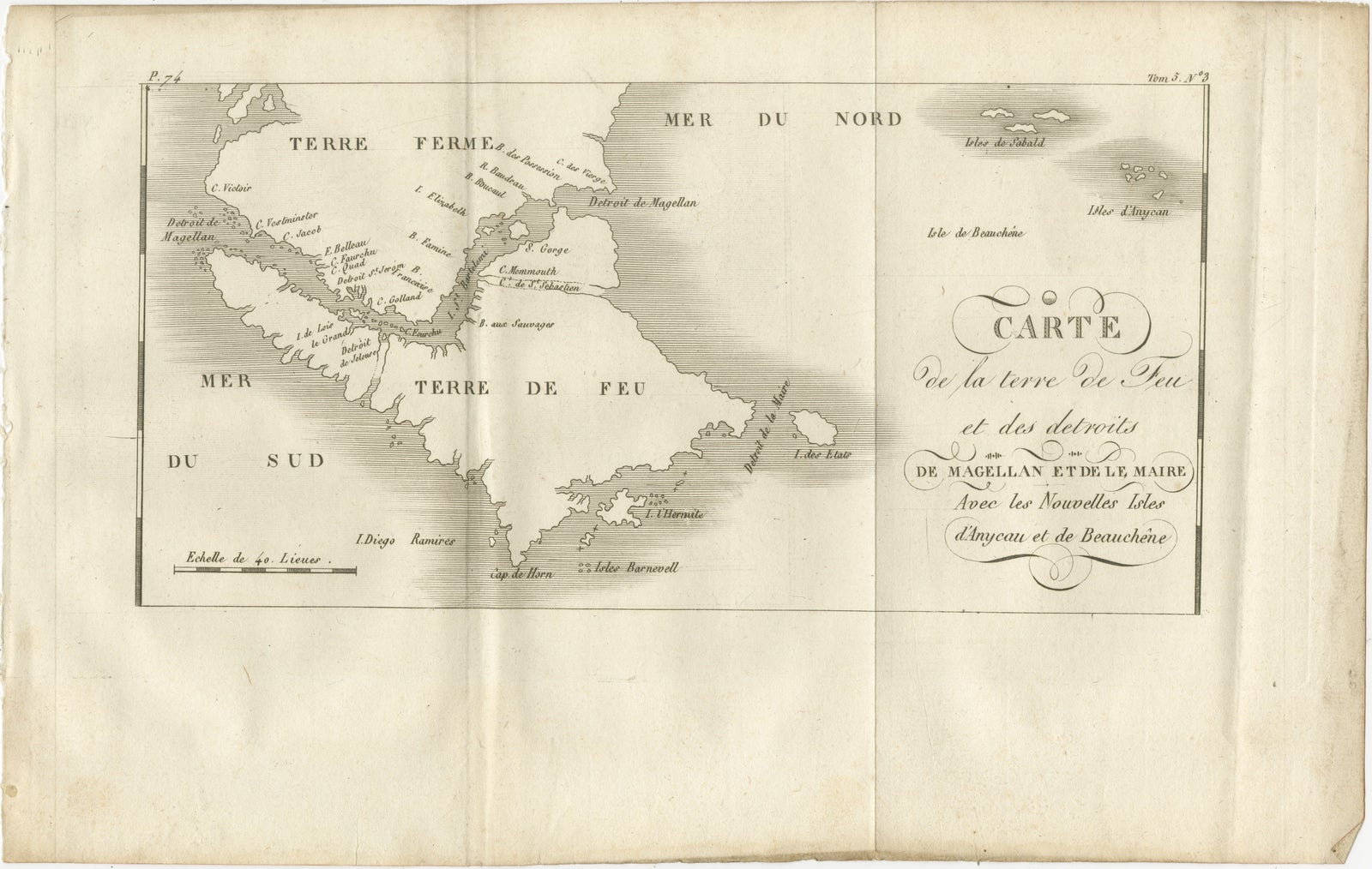
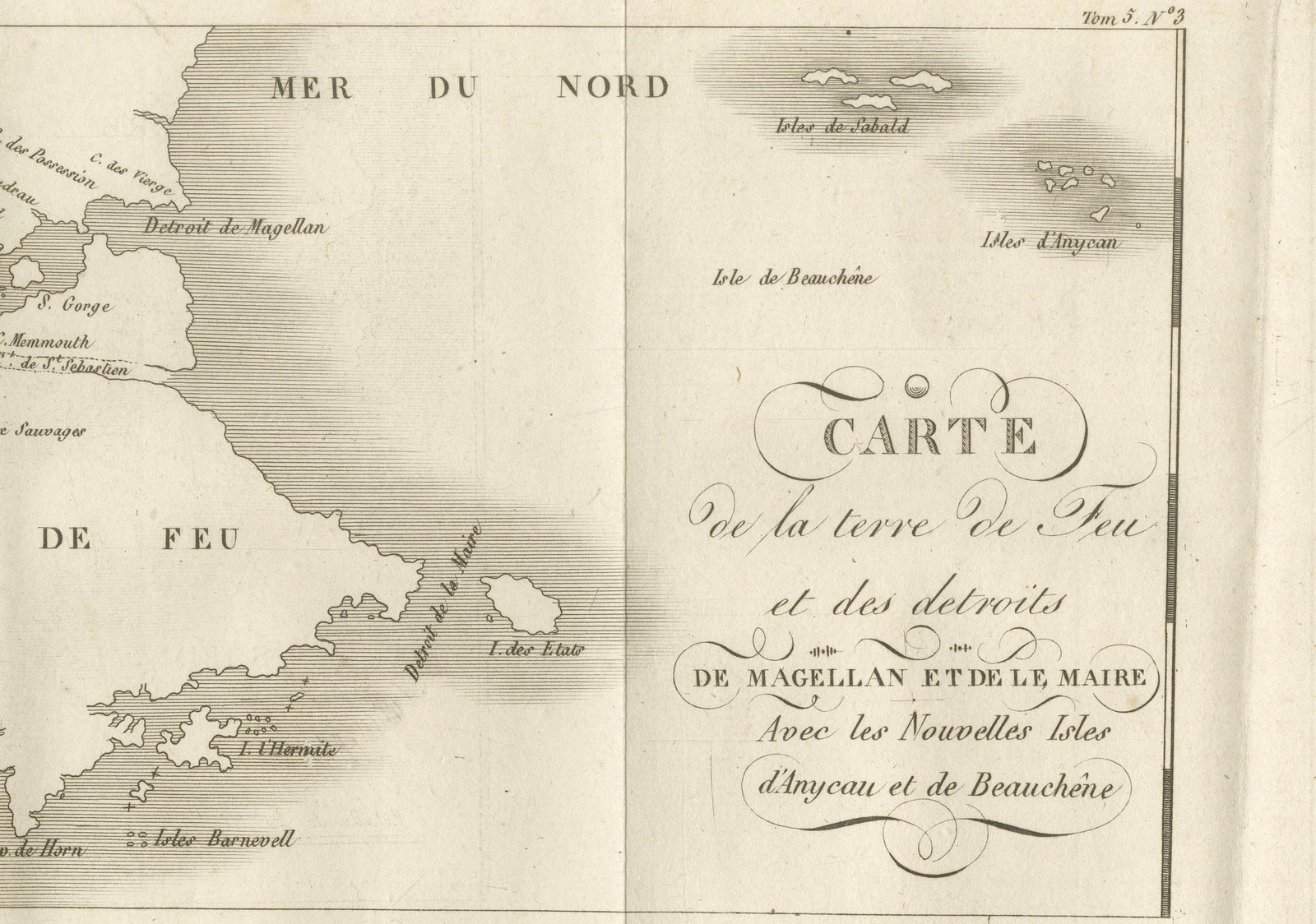
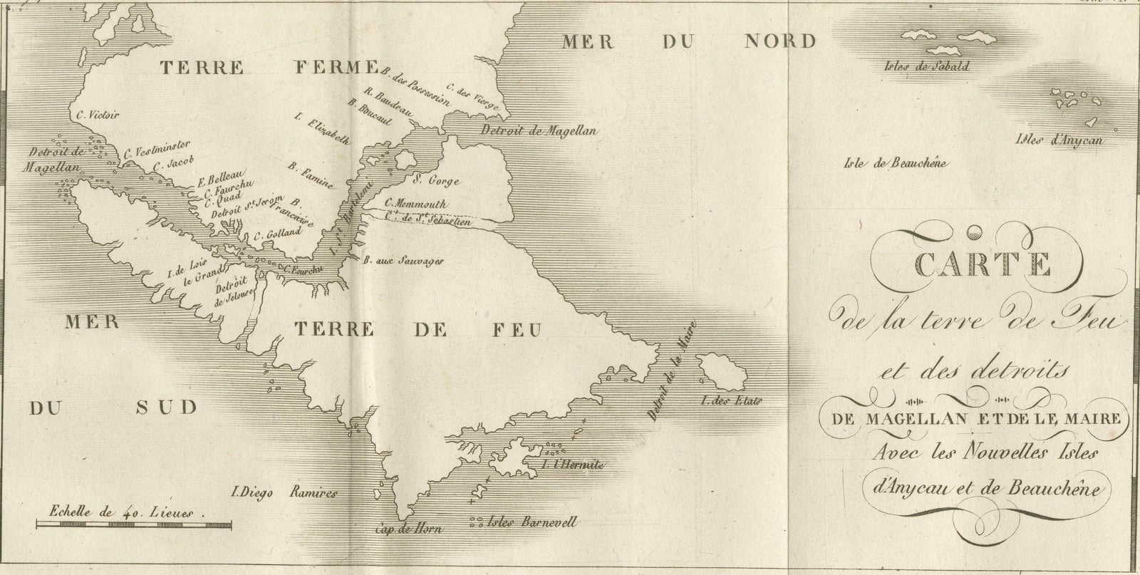
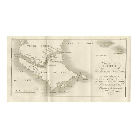
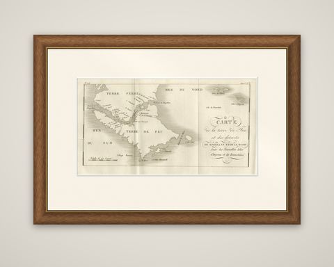
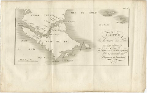
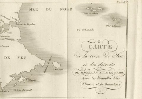
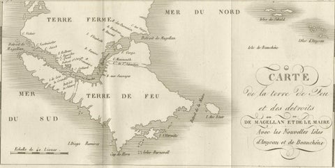
Tierra del Fuego and the Straits of Magellan and Le Maire, an original copper engraving dated around 1760. The sheet is titled "Carte de la Terre de Feu et des Détroits de Magellan et de le Maire, avec les Nouvelles Isles d'Anycao et de Beauchêne," and carries a volume and plate reference in the upper right.
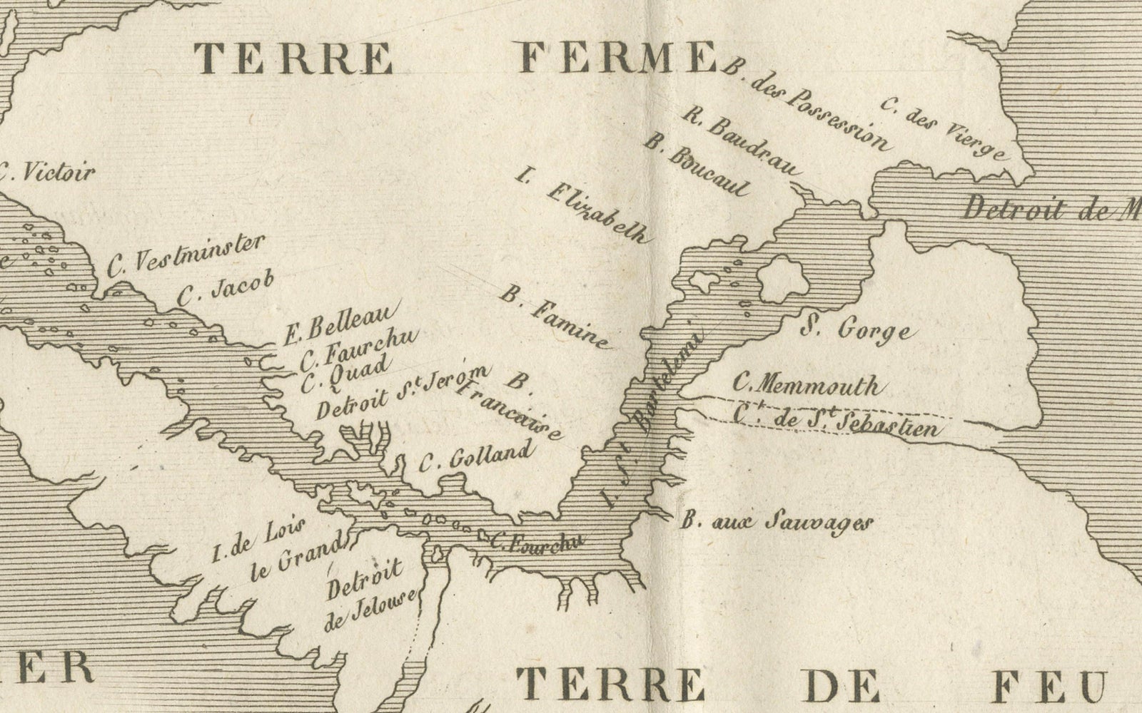
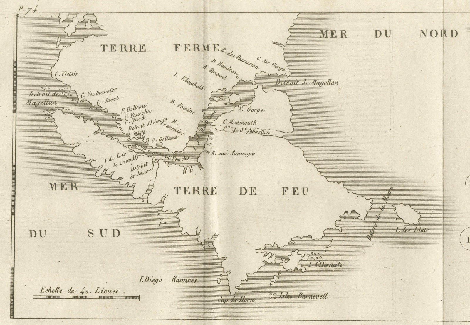
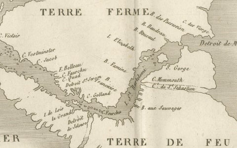
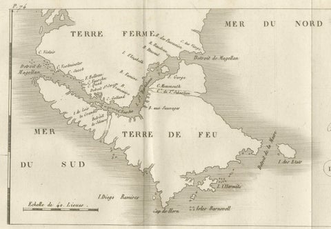
The map shows the southern tip of South America with the mainland ("Terre Ferme") at the top and the large island of "Terre de Feu" at the center, cut by the Strait of Magellan with its capes and bays lettered along the channel. The western entrance faces the "Mer du Sud" and the eastern side the "Mer du Nord." East of the Strait of Le Maire lie "I. de l'Etat" and the small islands to the south, with Cap de Horn near the foot, the Isles Barnevelt and the Diego Ramirez islands at the lower left. At the upper right the two island groups named in the title, "Isles d'Anycao" and "Isle de Beauchêne," stand out in the open Atlantic, along with the "Isle de Sable." The decorative title is set in a cartouche of script lettering on the right, and a scale of 40 leagues appears at the lower left.
The passages around Cape Horn and Tierra del Fuego mattered to every ship bound for the Pacific.