Original antique maps & prints of
New England
★ 36 original pieces ★
The six New England states, from the Massachusetts Bay and Plymouth colonies to the mill towns and harbors of the nineteenth century.
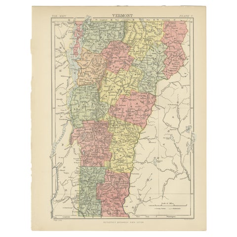
Antique Map of Vermont
1888
$325
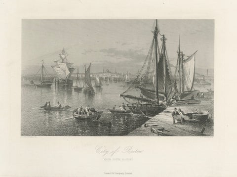
City of Boston, Harbor View from South Boston – Antique Maritime Engraving, 1870
1870
$325
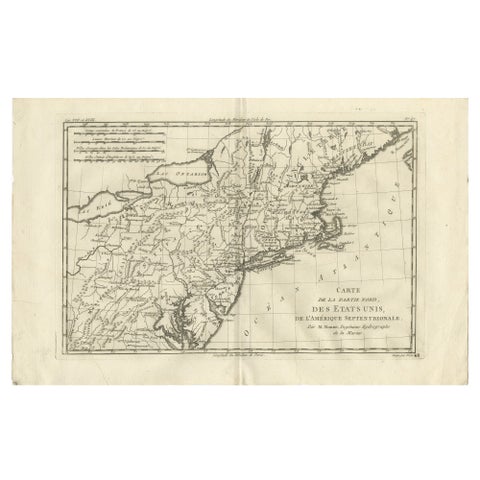
Antique Northeastern United States Map, New England & Mid-Atlantic, Bonne, 1780
1780 · Rigobert Bonne
$320
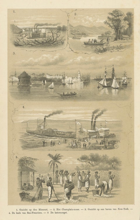
Missouri, Lake Champlain, New York, San Francisco & Cotton Harvest, 1879
1879
$310
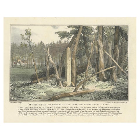
Boundary Marker at St. Croix River Source, 1817 – A Historic Diplomatic Monument
1817
$300
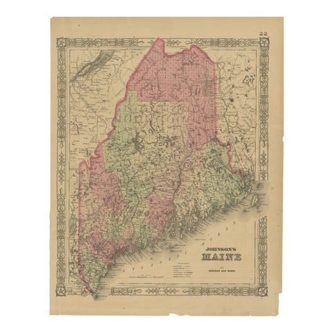
Maine County Map – Johnson, Hand-Colored, USA c.1864
1864
$300
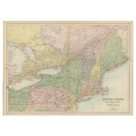
Antique Map of The United States and Canada by A & C. Black, 1870
1870 · Adam & Charles Black
$280
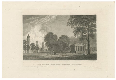
Antique Yale College & State House New Haven Connecticut, Meyer ca. 1850
1850
$270
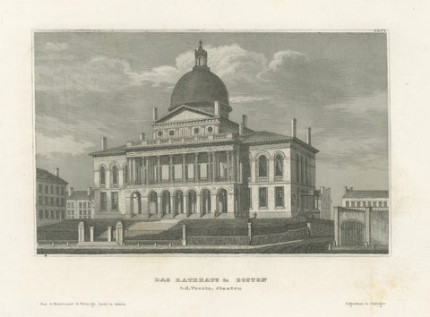
Boston State House on Beacon Hill, Antique Steel Engraving ca. 1850
1850
$270
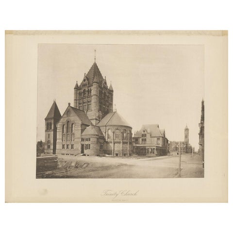
Antique Print of the Trinity Church in the city of Boston, 1887
1887
$170
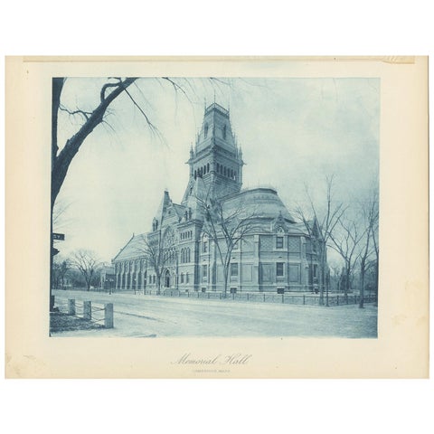
Antique Print of Memorial Hall in Cambridge, '1887'
1887
$170
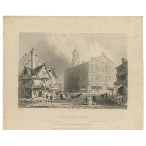
Antique Print of Faneuil Hall in Boston, circa 1860
1860
$110
← PreviousPage 2 of 2
★
States in New England